Black Hill

Hill, Mountain in Lancashire Rossendale

England

Black Hill

Cyclepath through Newchurch No.2 Tunnel View West on newly laid cyclepath with the blocked Thrutch Tunnel to the left
Cyclepath through Newchurch No.2 Tunnel Credit: Kevin Waterhouse

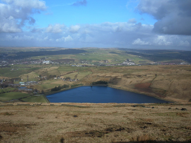
Black Hill is a prominent hill located in the county of Lancashire, England. With an elevation of 582 meters (1,909 feet), it stands as one of the highest points in the region. Situated within the South Pennines, it forms part of the Pennine range, renowned for its rugged and picturesque landscape.

The hill is situated near the village of Saddleworth, close to the border between Lancashire and West Yorkshire. Its distinctive feature is its dark, peaty soil, which gives rise to its name. Black Hill offers breathtaking panoramic views of the surrounding countryside, including the nearby Chew Valley and Greater Manchester.

Covered with vegetation consisting mainly of heather, moss, and grasses, Black Hill is a haven for various wildlife species. It is home to a diverse range of birdlife, including the golden plover and the curlew, making it a popular destination for birdwatching enthusiasts. Additionally, the hill is inhabited by small mammals such as rabbits and hares.

Black Hill attracts outdoor enthusiasts, hikers, and nature lovers due to its accessibility and stunning natural beauty. Several footpaths and trails traverse its slopes, offering visitors the opportunity to explore its scenic surroundings. The Pennine Way, a long-distance footpath, passes near Black Hill, providing hikers with an extended adventure through this captivating landscape.

Whether it be for leisurely walks, birdwatching, or simply admiring the awe-inspiring vistas, Black Hill in Lancashire offers an unforgettable experience for those seeking solace and serenity in nature's embrace.

If you have any feedback on the listing, please let us know in the comments section below.
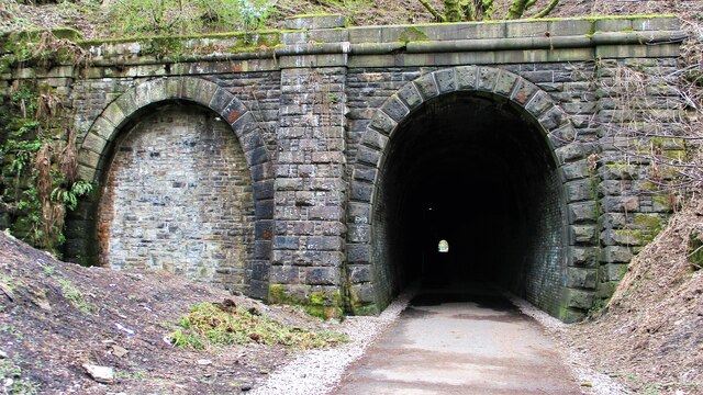
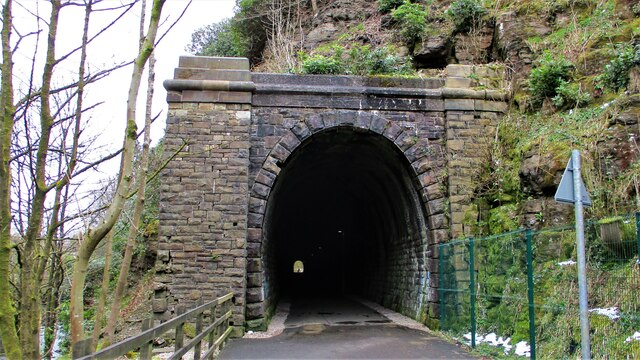
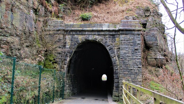
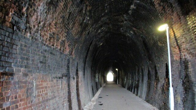
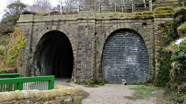
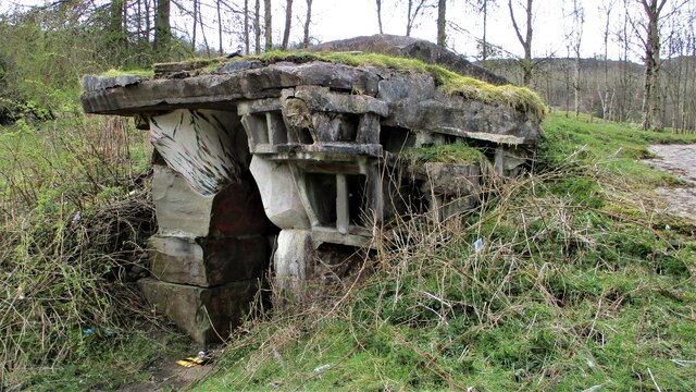
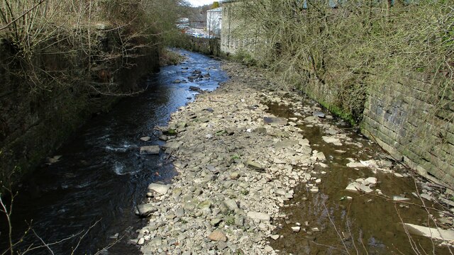
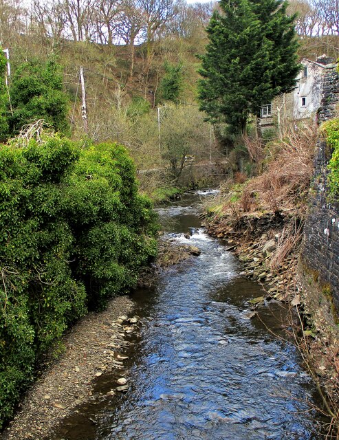
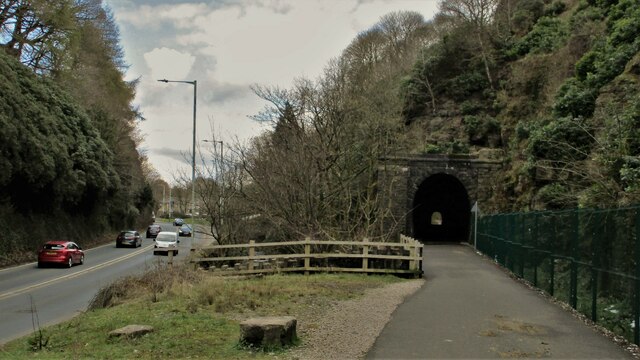
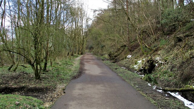
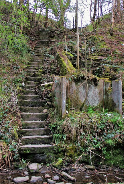
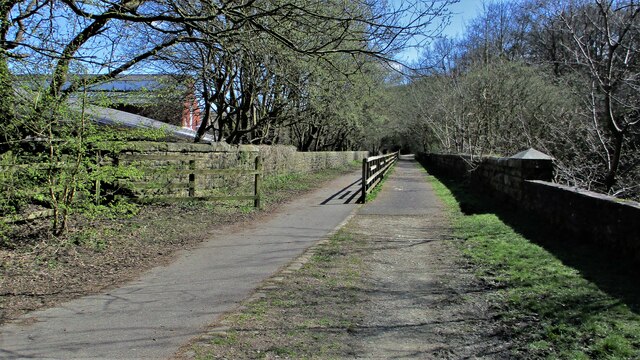
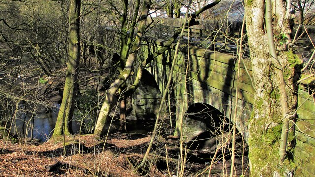
Black Hill Images

Images are sourced within 2km of 53.679472/-2.2611732 or Grid Reference SD8220. Thanks to Geograph Open Source API. All images are credited.

Cyclepath through Newchurch No.2 Tunnel View West on newly laid cyclepath with the blocked Thrutch Tunnel to the left
Cyclepath through Newchurch No.2 Tunnel
View West on newly laid cyclepath with the blocked Thrutch Tunnel to the left
Cyclepath through Newchurch No.2 Tunnel The West portal of the railway tunnel
Cyclepath through Newchurch No.2 Tunnel
The West portal of the railway tunnel
Cyclepath through Newchurch No.1 Tunnel View West through the tunnel
Cyclepath through Newchurch No.1 Tunnel
View West through the tunnel
Cyclepath inside Newchurch No.1 Tunnel View East through the tunnel, with lighting provision
Cyclepath inside Newchurch No.1 Tunnel
View East through the tunnel, with lighting provision
Cyclepath West entrance to Newchurch No.1 Tunnel New footbridge across River Irwell allows easy access. Blocked Thrutch tunnel to the right.
Cyclepath West entrance to Newchurch No.1 Tunnel
New footbridge across River Irwell allows easy access. Blocked Thrutch tunnel to the right.
Sculpture on the Irwell Trail Spaces 9XXXV94 by Petre Nikoloski. Near to St. Michaels Countryside Centre
Sculpture on the Irwell Trail
Spaces 9XXXV94 by Petre Nikoloski. Near to St. Michaels Countryside Centre
River Irwell from Holt Mill Road Bridge The river meandering West confined by substantial walling
River Irwell from Holt Mill Road Bridge
The river meandering West confined by substantial walling
River Irwell coming out of The Glen View of the river from the new footbridge on the Newchurch tunnel cyclepath
River Irwell coming out of The Glen
View of the river from the new footbridge on the Newchurch tunnel cyclepath
Road, River & Railway in The Glen The A681 Newchurch Road, the River Irwell in a culvert and the West portal of Newchurch No.2 tunnel all squeezed together
Road, River & Railway in The Glen
The A681 Newchurch Road, the River Irwell in a culvert and the West portal of Newchurch No.2 tunnel all squeezed together
Cyclepath East of Thrutch Tunnel Cyclepath view East along former railway towards Bacup. It is contoured in the hillside above the River Irwell at this point
Cyclepath East of Thrutch Tunnel
Cyclepath view East along former railway towards Bacup. It is contoured in the hillside above the River Irwell at this point
Steps in Railway Cutting near Waterbarn Mill The railway presumably had hillside water drainage problems and needed to climb out of the cutting. Old OS maps have a tank marked about here.
Steps in Railway Cutting near Waterbarn Mill
The railway presumably had hillside water drainage problems and needed to climb out of the cutting. Old OS maps have a tank marked about here.
Vertical Culvert in Railway Cutting This appears to be a drain from the hillside which has required substantial masonry. Near Waterbarn Mills
Vertical Culvert in Railway Cutting
This appears to be a drain from the hillside which has required substantial masonry. Near Waterbarn Mills
Cycleway along Hareholme Viaduct The trackbed of the former railway viaduct at Hareholme from the West
Cycleway along Hareholme Viaduct
The trackbed of the former railway viaduct at Hareholme from the West
Hareholme Railway Viaduct over River Irwell The first arches over the River Irwell. The viaduct now carries a cycleway
Hareholme Railway Viaduct over River Irwell
The first arches over the River Irwell. The viaduct now carries a cycleway
Cowpe Road
Cowpe Road
Quite a collection of items on this farm
Farm building, there is a benchmark hidden on the right
Bull in field - we never saw one
Show me another place!

Black Hill is located at Grid Ref: SD8220 (Lat: 53.679472, Lng: -2.2611732)

Administrative County: Lancashire

District: Rossendale

Police Authority: Lancashire

What 3 Words

///elbow.piper.apple. Near Rossendale, Lancashire

Related Wikis

Borough of Rossendale

Rossendale () is a local government district with borough status in Lancashire, England. Its council is based in Bacup and its largest town is Rawtenstall...

Cowpe

Cowpe is a hamlet in Rossendale, Lancashire, England. It lies in the South Pennines, north of Scout Moor Wind Farm, by the Pennine Bridleway. Rawtenstall...

Hail Storm Hill

Hail Storm Hill, also known as Cowpe Moss, is the highest point of the Rossendale Valley, England, an area of moorland and hill country situated between...

Waterfoot railway station

Waterfoot railway station served Waterfoot, Rossendale near Rawtenstall, Lancashire, England from 1848 until the line closed in 1966. == History == The...

Nearby Amenities

Located within 500m of 53.679472,-2.2611732
The data included in this document is from www.openstreetmap.org. The data is made available under ODbL.

Have you been to Black Hill?

Leave your review of Black Hill below (or comments, questions and feedback).