Gallow Hill
Hill, Mountain in Kincardineshire
Scotland
Gallow Hill
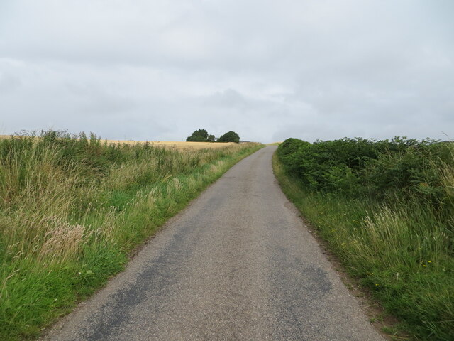
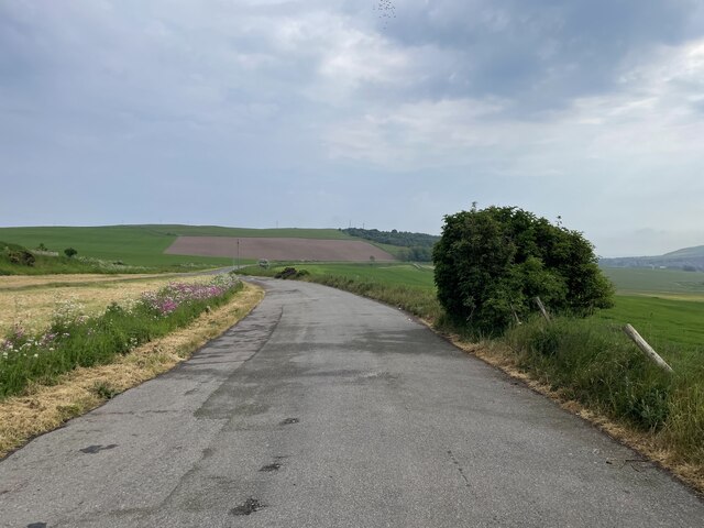
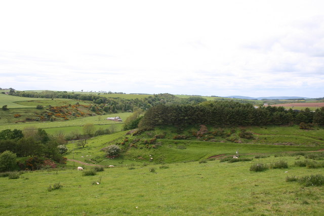
Gallow Hill, located in Kincardineshire, Scotland, is a prominent hill that is a popular destination for locals and visitors alike. Standing at an elevation of approximately 250 meters (820 feet), it offers breathtaking panoramic views of the surrounding countryside.
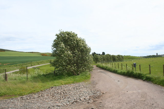
The hill is covered in lush green vegetation, with a variety of wildflowers and grasses adorning its slopes. Its gentle incline makes it accessible for hikers of all abilities, and there are well-maintained trails leading to the summit. Along the way, walkers can observe an array of wildlife, including birds, rabbits, and occasionally deer.
At the top of Gallow Hill, there is a small cairn which marks the peak. From this vantage point, one can enjoy stunning vistas of the rolling hills and valleys of Kincardineshire, as well as the sparkling waters of the nearby North Sea. On clear days, it is even possible to catch a glimpse of the distant Cairngorm Mountains.
The hill holds historical significance as it was once used as a site for public executions, hence the name "Gallow Hill." Although no longer used for such purposes, the area still retains an air of intrigue and mystery. Visitors can imagine the events that unfolded on this hill in centuries past while appreciating its natural beauty.
Whether seeking a peaceful stroll in nature or a place to reflect on the region's history, Gallow Hill offers a memorable experience for all who venture to its slopes.
If you have any feedback on the listing, please let us know in the comments section below.
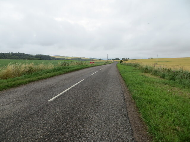
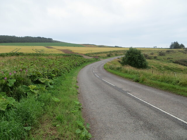
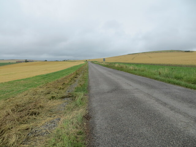
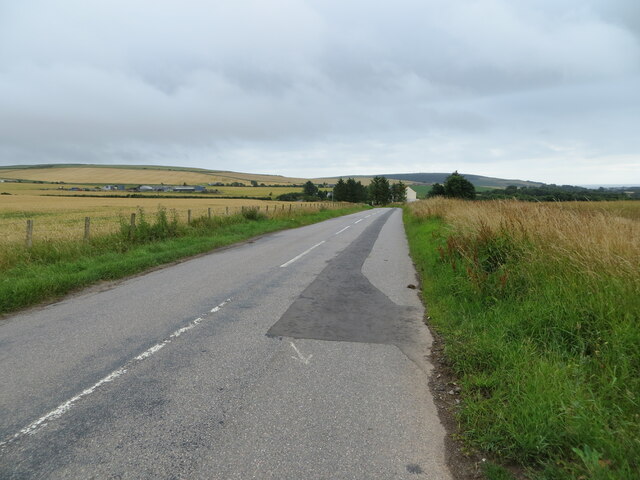
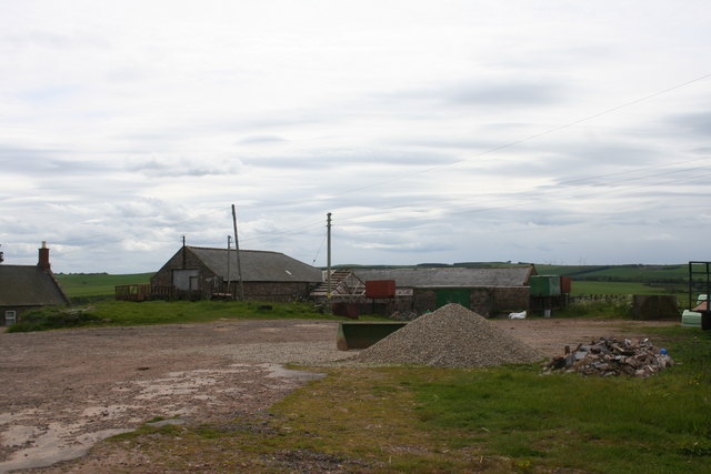
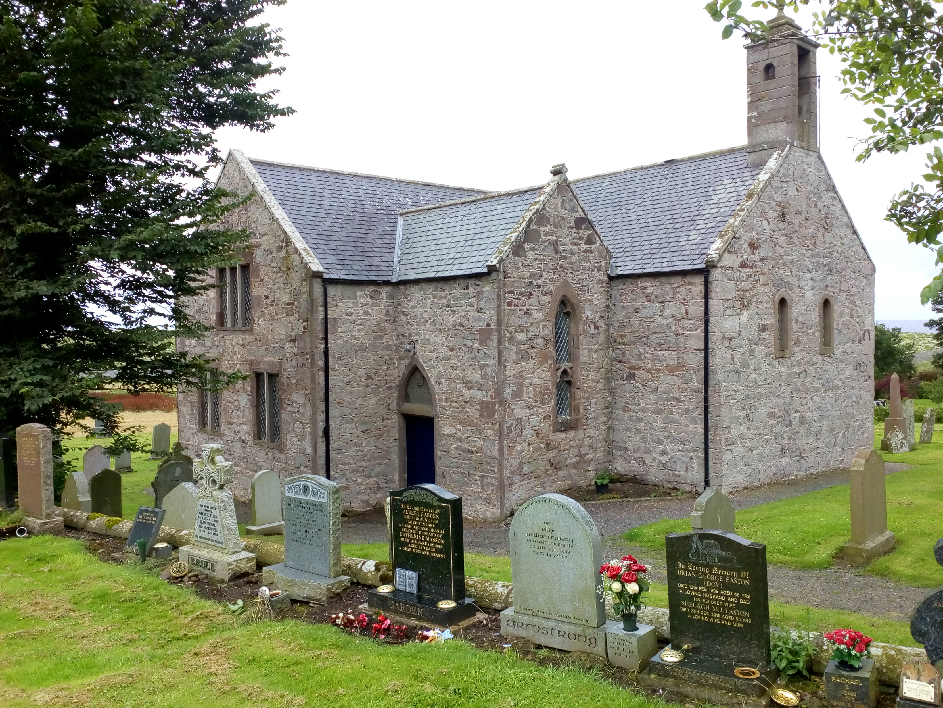
Gallow Hill Images
Images are sourced within 2km of 56.869012/-2.2861553 or Grid Reference NO8275. Thanks to Geograph Open Source API. All images are credited.


Gallow Hill is located at Grid Ref: NO8275 (Lat: 56.869012, Lng: -2.2861553)
Unitary Authority: Aberdeenshire
Police Authority: North East
What 3 Words
///crimson.iterative.modern. Near Inverbervie, Aberdeenshire
Nearby Locations
Related Wikis

Allardice Castle
Allardice Castle (also spelled Allardyce) is a sixteenth-century manor house in Kincardineshire, Scotland. It is approximately 1.5 kilometres north-west...

Arbuthnott
Arbuthnott (Scottish Gaelic: Obar Bhuadhnait, "mouth of the Buadhnat") is a hamlet and parish in the Howe of the Mearns, a low-lying agricultural district...

Arbuthnott Parish Kirk
Arbuthnott Parish Kirk is a church in Arbuthnott, Aberdeenshire, Scotland. Now a Category A listed building, it was built in at least the 13th century...

Inverbervie Town House
Inverbervie Town House is a municipal structure in Church Street in Inverbervie, Aberdeenshire, Scotland. The structure, which is primarily used as a public...

Inverbervie
Inverbervie (from Scottish Gaelic: Inbhir Biorbhaidh or Biorbhaigh, "mouth of the River Bervie") is a small town on the north-east coast of Scotland, south...

Bervie Water
Bervie Water (Scottish Gaelic: Uisge Bhiorbhaigh) is a river in Aberdeenshire, Scotland which rises in the Drumtochty Forest and flows across The Mearns...
Kinneff
Kinneff is a roadside hamlet in Aberdeenshire, Scotland, just north of Inverbervie. To the north lies another hamlet, Catterline. Kinneff also has a primary...

Inverbervie railway station
Bervie railway station served the town of Inverbervie, Aberdeenshire, Scotland from 1865 to 1966 on the Montrose and Bervie Railway. == History == The...
Nearby Amenities
Located within 500m of 56.869012,-2.2861553Have you been to Gallow Hill?
Leave your review of Gallow Hill below (or comments, questions and feedback).