Askew Hill
Hill, Mountain in Westmorland Eden
England
Askew Hill
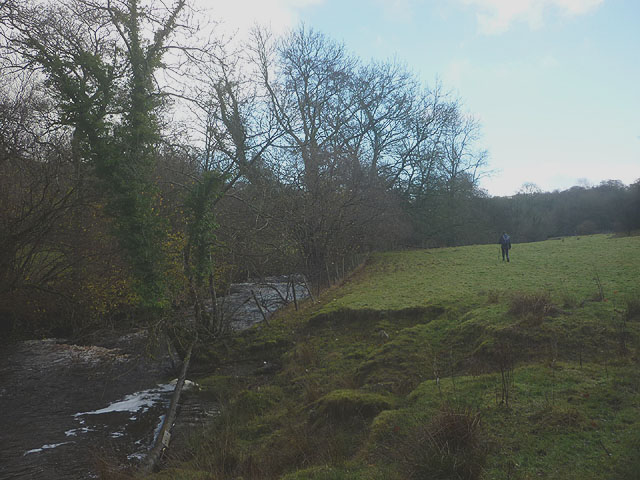
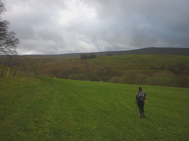
Askew Hill is a prominent hill located in the county of Westmorland, England. It is situated in the Lake District National Park, specifically in the southern part of the park near the village of Askham. Rising to a height of 215 meters (705 feet), it is considered a notable feature in the surrounding landscape.
The hill is characterized by its steep slopes and its distinctive conical shape, which makes it easily recognizable from a distance. It is primarily composed of sedimentary rocks, including limestone and sandstone, which have been shaped by natural erosion processes over millions of years.
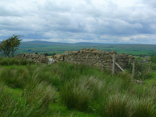
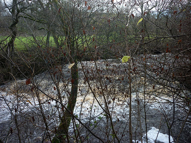
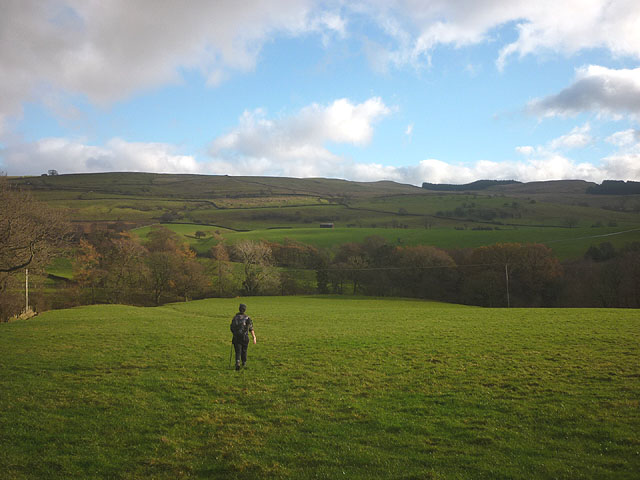
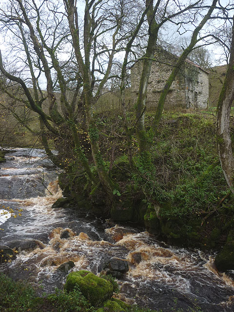
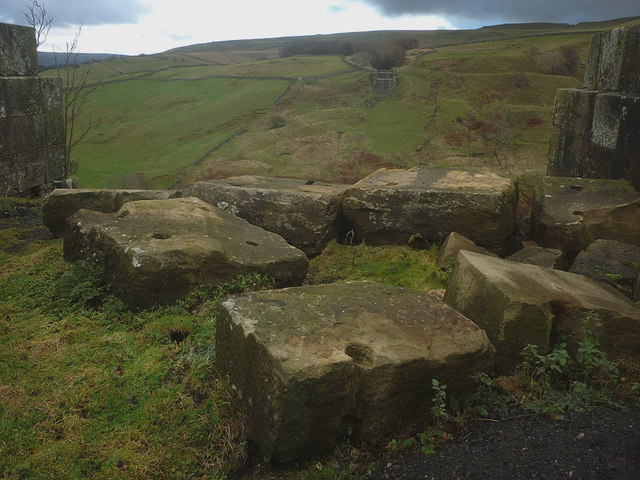
The summit of Askew Hill offers breathtaking panoramic views of the surrounding countryside, including the nearby River Lowther and the picturesque villages of Askham and Helton. On a clear day, visitors can also see the distant peaks of the Lake District, such as Helvellyn and Blencathra.
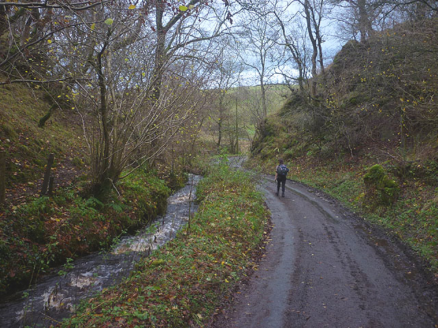
Askew Hill is a popular destination for outdoor enthusiasts and hikers due to its accessibility and the stunning vistas it provides. Several footpaths and trails traverse the hill, allowing visitors to explore its diverse flora and fauna. It is home to a variety of plant species, including heather, bracken, and wildflowers, as well as various bird species such as skylarks and meadow pipits.
Overall, Askew Hill is a natural landmark that offers both recreational opportunities and natural beauty to locals and visitors alike. Whether one seeks a challenging hike or simply wishes to admire the captivating scenery, this hill is a must-visit destination in Westmorland.
If you have any feedback on the listing, please let us know in the comments section below.
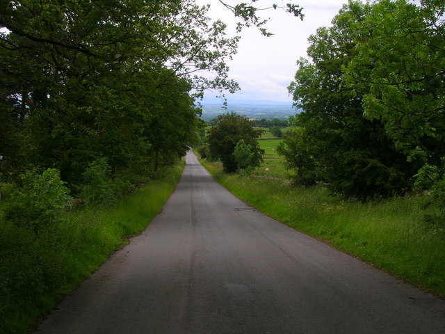
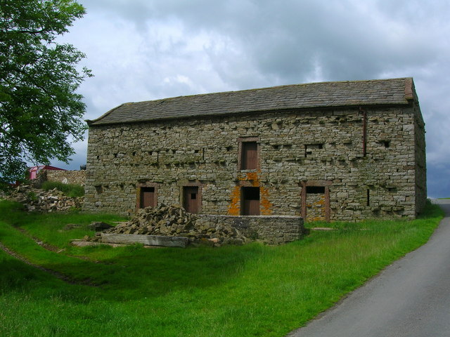
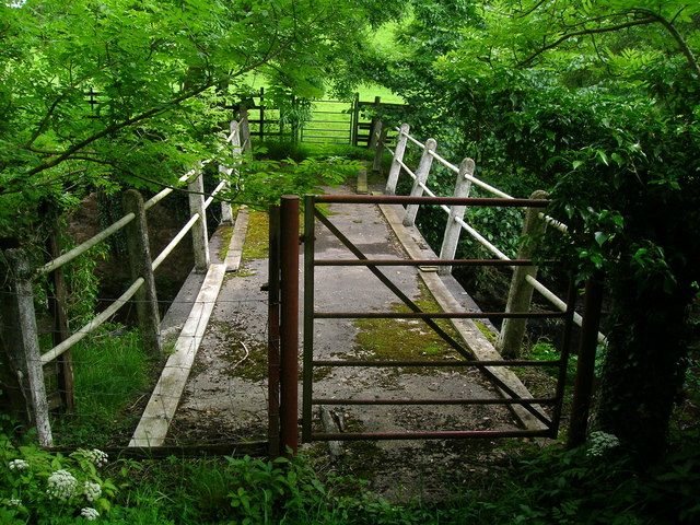
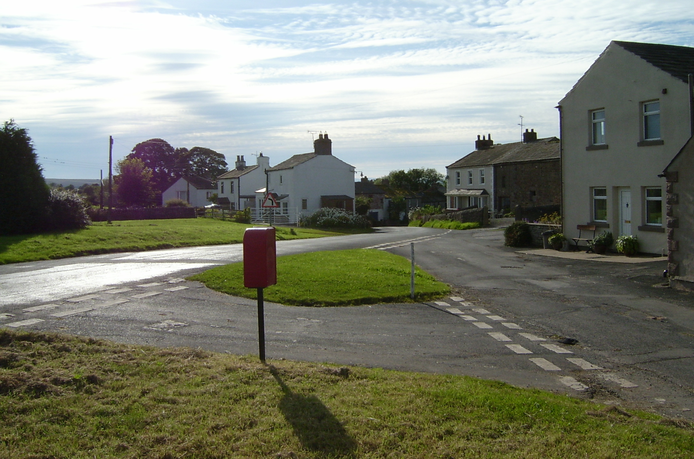
Askew Hill Images
Images are sourced within 2km of 54.494834/-2.2719227 or Grid Reference NY8211. Thanks to Geograph Open Source API. All images are credited.


Askew Hill is located at Grid Ref: NY8211 (Lat: 54.494834, Lng: -2.2719227)
Administrative County: Cumbria
District: Eden
Police Authority: Cumbria
What 3 Words
///using.eased.clashes. Near Kirkby Stephen, Cumbria
Nearby Locations
Related Wikis

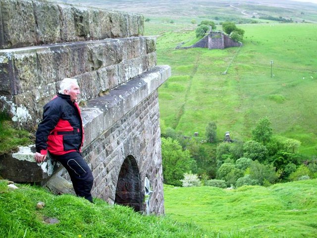
Belah Viaduct
The Belah Viaduct was a railway viaduct on the South Durham and Lancashire Union Railway, crossing the River Belah, in Cumbria, England, about 1 mile...

Barras, Cumbria
Barras is a hamlet close to the River Belah, about 4 miles (6 kilometres) south-east of Brough, Cumbria, England. Until the creation of the new county...

Barras railway station
Barras railway station was situated on the South Durham & Lancashire Union Railway between Barnard Castle and Kirkby Stephen East. == History == The station...
Kaber, Cumbria
Kaber is a village and civil parish in the Eden District of Cumbria, England. == Location and topography == The village is located about 2 miles (3.2 km...

Brough Sowerby
Brough Sowerby is a village and civil parish in the Eden district of Cumbria, England. It is located 22.3 miles south east of the town Penrith. According...
Snowdrift at Bleath Gill
Snowdrift at Bleath Gill is a 1955 British Transport Film documentary directed by Kenneth Fairbairn. The 10-minute-long film presents a first-hand account...

Stainmore
Stainmore is a remote geographic area in the Pennines on the border of Cumbria, County Durham and North Yorkshire. The name is used for a civil parish...

A66 road
The A66 is a major road in Northern England, which in part follows the course of the Roman road from Scotch Corner to Penrith. It runs from east of Middlesbrough...
Nearby Amenities
Located within 500m of 54.494834,-2.2719227Have you been to Askew Hill?
Leave your review of Askew Hill below (or comments, questions and feedback).