Hayber Hill
Hill, Mountain in Yorkshire Craven
England
Hayber Hill
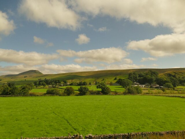
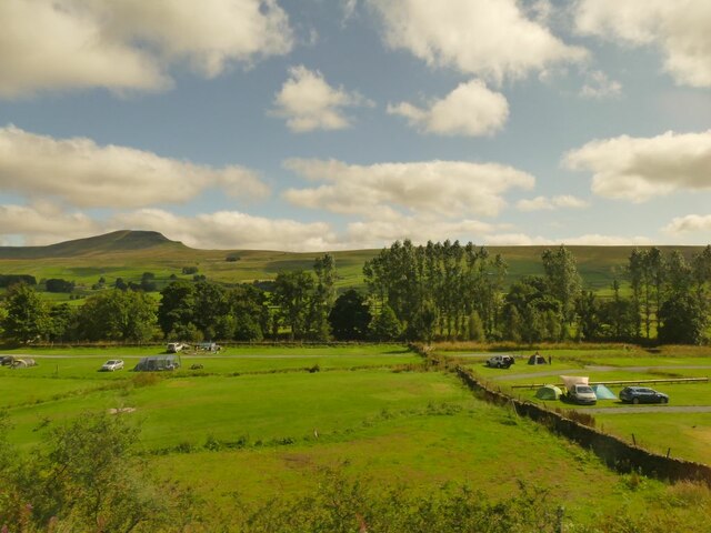
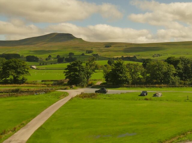
Hayber Hill is a prominent geographical feature located in Yorkshire, England. It is classified as a hill or mountain, depending on the perspective of the observer. Rising to an elevation of approximately 1,250 feet (381 meters), it offers commanding views of the surrounding landscape.
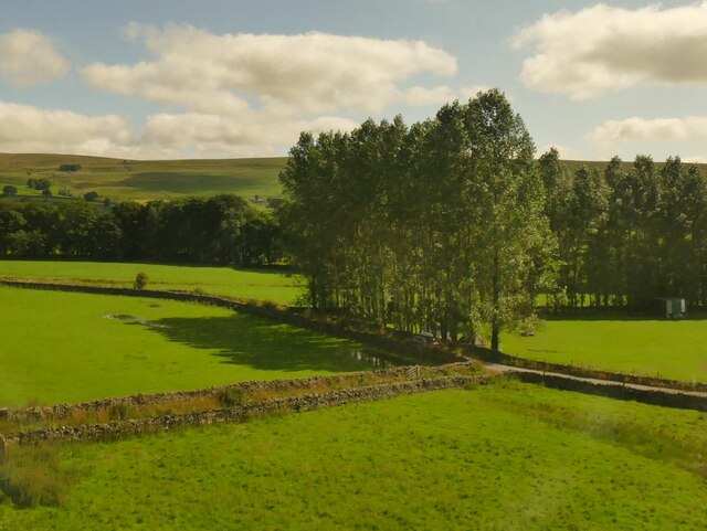
Situated within the Nidderdale Area of Outstanding Natural Beauty, Hayber Hill is part of the larger Pennine Range, which runs through northern England. It is composed primarily of Millstone Grit, a coarse sandstone that gives the hill its distinctive appearance.
The hill is known for its unique geological formations, including steep cliffs and rocky outcrops, which attract climbers and hikers seeking a challenging ascent. Hayber Hill is also home to a diverse range of flora and fauna, with heather, bilberry, and bracken covering its slopes, providing a habitat for various bird species, including curlews and grouse.
In addition to its natural beauty, Hayber Hill holds historical significance. It was once a strategic vantage point during Viking invasions, with remnants of Iron Age fortifications still visible on its summit. The hill also played a vital role in the lead mining industry of the 18th and 19th centuries, evidenced by the remains of mine shafts and spoil heaps.
Today, Hayber Hill continues to be a popular destination for outdoor enthusiasts, offering opportunities for walking, rock climbing, and wildlife observation. Its picturesque surroundings and rich historical heritage make it a must-visit location for those seeking to explore the natural wonders of Yorkshire.
If you have any feedback on the listing, please let us know in the comments section below.
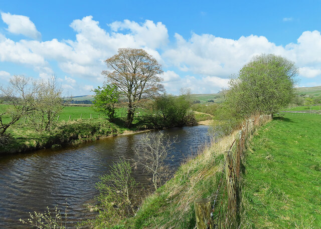
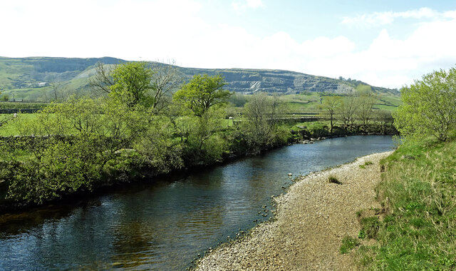
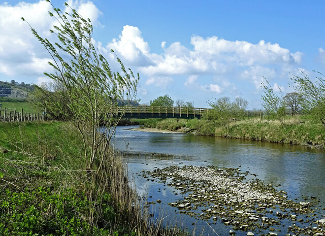
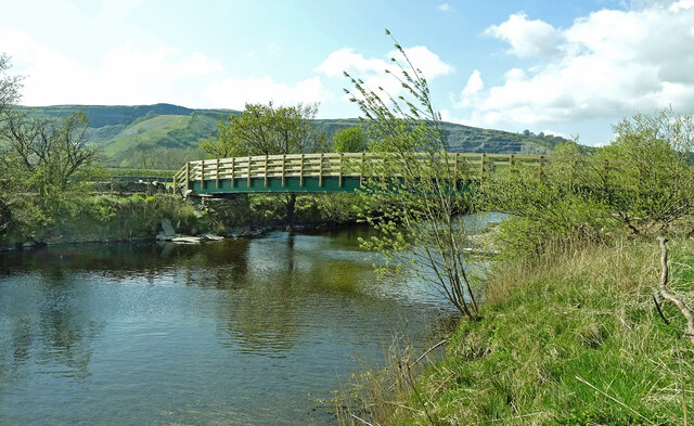
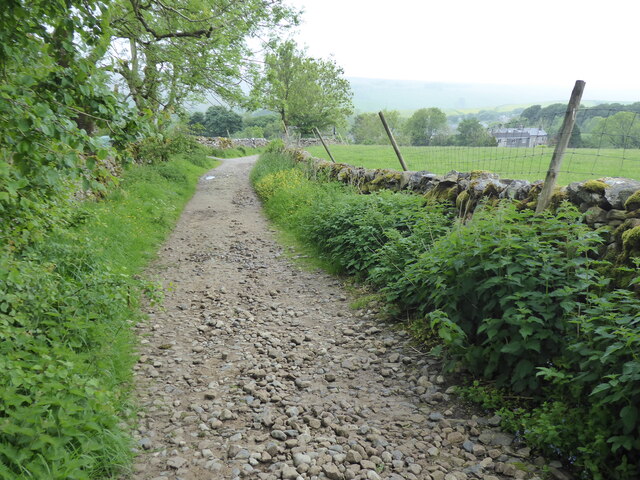
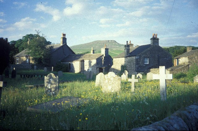
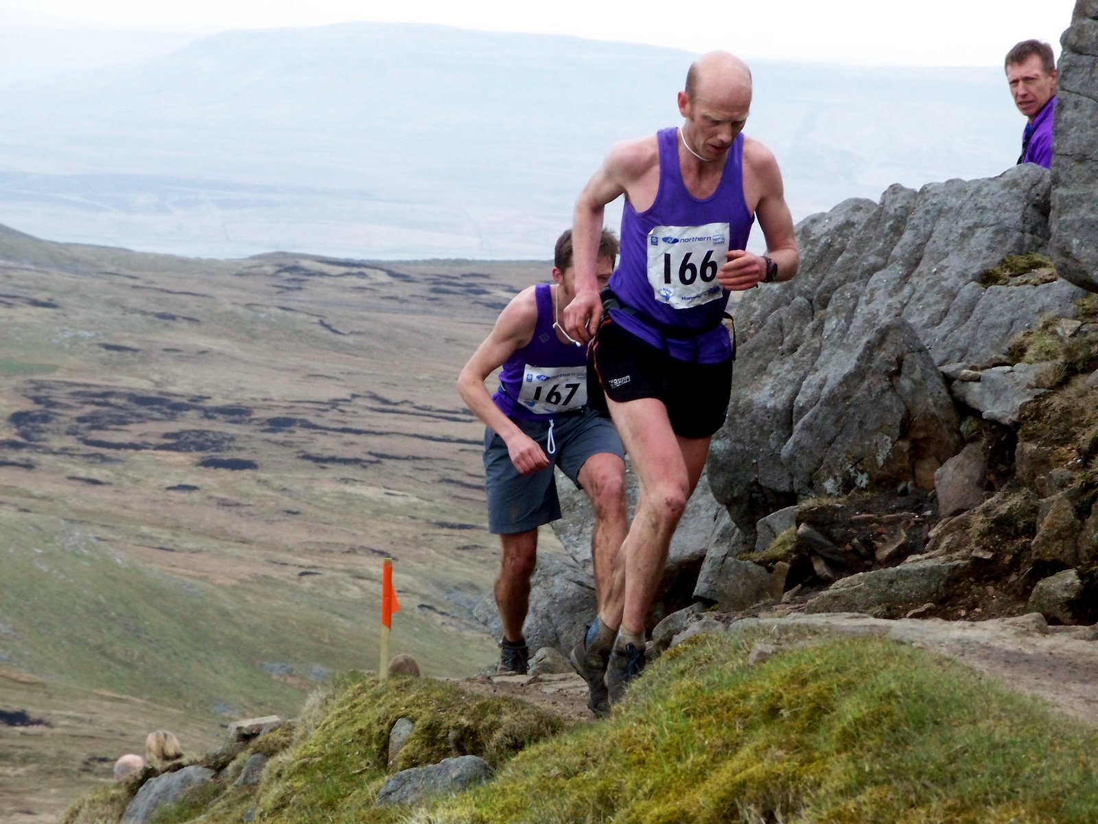
Hayber Hill Images
Images are sourced within 2km of 54.136272/-2.2716633 or Grid Reference SD8271. Thanks to Geograph Open Source API. All images are credited.


Hayber Hill is located at Grid Ref: SD8271 (Lat: 54.136272, Lng: -2.2716633)
Division: West Riding
Administrative County: North Yorkshire
District: Craven
Police Authority: North Yorkshire
What 3 Words
///rescuer.scramble.yummy. Near Settle, North Yorkshire
Nearby Locations
Related Wikis


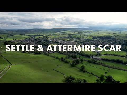
Related Videos

RTTM || vlog #6 Pen-y-Ghent Easter bank holiday
Good Friday Bank Holiday jaunt up Pen-y-Ghent in the Yorkshire Dales. I would sooo loved to have done a wildcamp video but i ...
Walking to a prehistoric cave | Yorkshire Dales
Starting in the market town of Settle on the edge of the Yorkshire Dales National Park is the beautiful area of Attermire Scar.

Hiking the Yorkshire 3 PEAKS CHALLENGE! 24 Miles in 12 hours?!
EXTENDED EDIT - Russ, Sally, Jess and James all set off to take on the outdoor hike for the Yorkshire 3 Peaks Challenge!

Yorkshire 3 peaks challenge 12.09.2020 Hiking
On the 12th September we set off from Horton in Ribblesdale on a 24 mile hike around 3 of the Yorkshire dales highest mountains ...
Nearby Amenities
Located within 500m of 54.136272,-2.2716633Have you been to Hayber Hill?
Leave your review of Hayber Hill below (or comments, questions and feedback).