Round Hill

Hill, Mountain in Yorkshire Richmondshire

England

Round Hill

Heather slope descending from Sails The slope is seen descending from beside a cairn close to Ure Head.
Wild Boar Fell is the hill in the distance beyond the Mallerstang valley.
Heather slope descending from Sails Credit: Trevor Littlewood

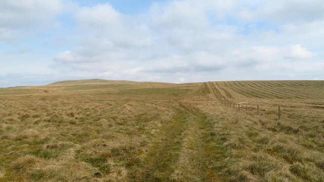
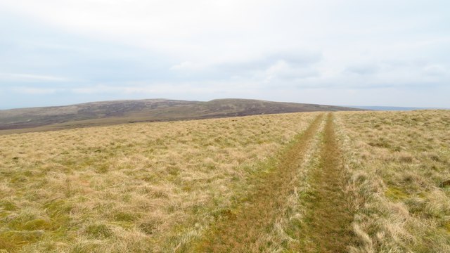
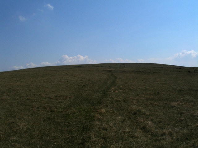
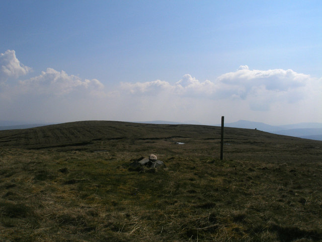
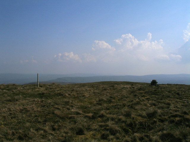
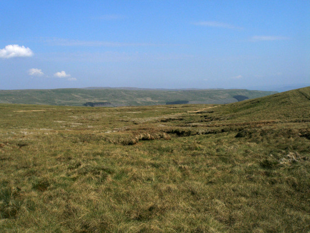
Round Hill is the highest point in the county of Yorkshire, England, and stands at an impressive elevation of 1,449 feet (442 meters) above sea level. Located within the North York Moors National Park, this prominent hill is a popular destination for hikers, nature enthusiasts, and outdoor adventurers.

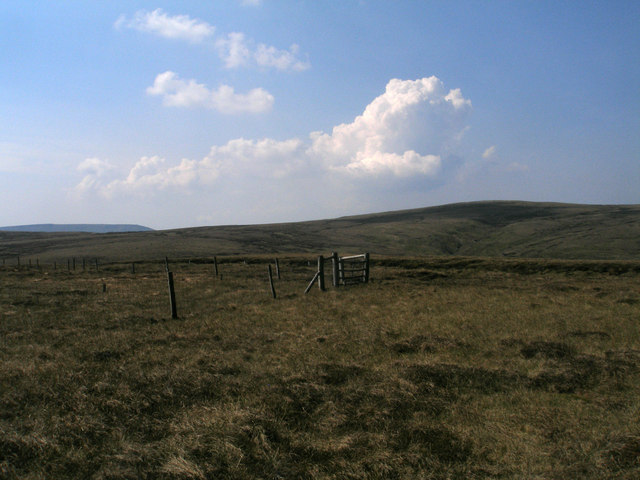
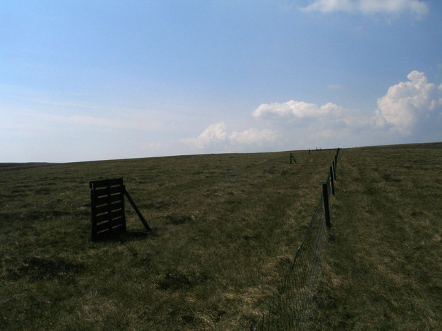
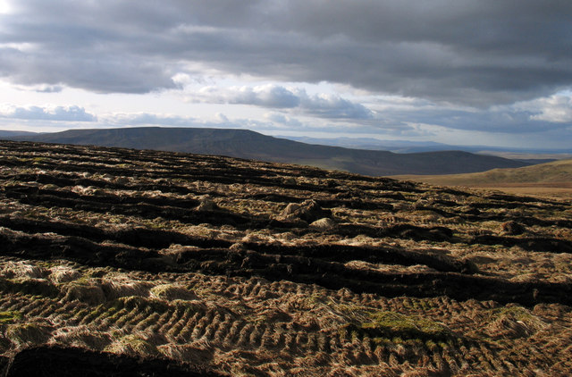
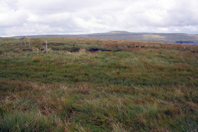
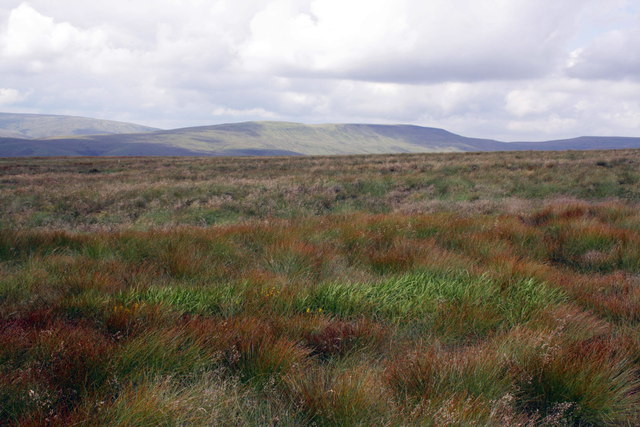
Situated near the village of Fylingdales, Round Hill offers breathtaking panoramic views of the surrounding countryside. On a clear day, visitors can admire the vast expanse of the North York Moors, with its rolling hills, heather-covered moorlands, and picturesque valleys. The hill itself is covered in a mix of grasses and heather, creating a stunning carpet of colors during the summer months.

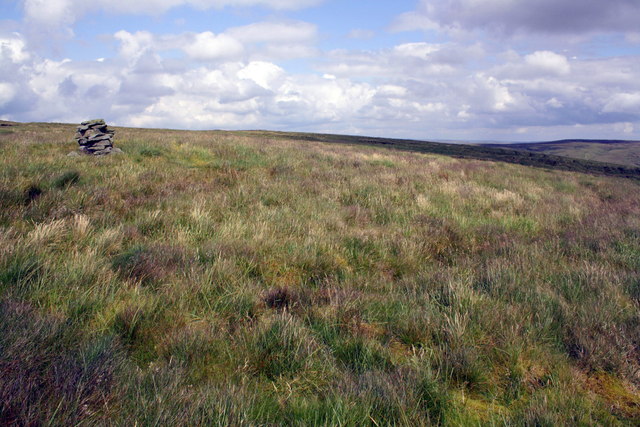
Access to Round Hill is available through a network of footpaths and trails, making it easily reachable for both experienced hikers and casual walkers. The ascent to the summit is moderate, allowing visitors of various fitness levels to enjoy the climb. Once at the top, a trig point marks the highest point, providing a landmark for visitors to identify their achievement.

Round Hill is not only a natural wonder but also holds historical significance. It is believed to have been used as a beacon site during the Roman era and later served as a signaling station during the Napoleonic Wars. Today, it remains an important landmark within the national park, attracting visitors who appreciate its natural beauty, historical importance, and the sense of tranquility it offers.

If you have any feedback on the listing, please let us know in the comments section below.

Round Hill Images

Images are sourced within 2km of 54.363681/-2.2741328 or Grid Reference SD8296. Thanks to Geograph Open Source API. All images are credited.

Heather slope descending from Sails The slope is seen descending from beside a cairn close to Ure Head.
Wild Boar Fell is the hill in the distance beyond the Mallerstang valley.
Heather slope descending from Sails
The slope is seen descending from beside a cairn close to Ure Head. Wild Boar Fell is the hill in the distance beyond the Mallerstang valley.
Heading towards Bubble Hill on ATV Track above Garsdale Head
ATV track crossing Ure Head
Knoutberry Currack A small pile of stones and a corner in a fence
Knoutberry Currack
A small pile of stones and a corner in a fence
Knoutberry Currack A venerable but unremarkable cairn on Angram Common west of Great Shunner Fell. It does have a fine outlook over Great Sleddale with the North Pennines visible on the horizon.
Knoutberry Currack
A venerable but unremarkable cairn on Angram Common west of Great Shunner Fell. It does have a fine outlook over Great Sleddale with the North Pennines visible on the horizon.
Sandy Bottom Great Shunner Fell in the background
Sandy Bottom
Great Shunner Fell in the background
Stony area near Market Place
Fence corner at Knoutberry Currack
Another fence corner The slopes of Hugh Seat in the right background
Another fence corner
The slopes of Hugh Seat in the right background
Shooting butts along the fence north of West Gill Head Fence and butts seem to be recently constructed
Shooting butts along the fence north of West Gill Head
Fence and butts seem to be recently constructed
On the way to Little Fell
Little Fell summit
Little Fell summit
Summit of Lunds Fell (Sail Fell?) There are several possible names on the OS map
Summit of Lunds Fell (Sail Fell?)
There are several possible names on the OS map
Top of Long Snow Drift Gutter I was going to call this 'headwaters' but 'headbog' would be more appropriate
Top of Long Snow Drift Gutter
I was going to call this 'headwaters' but 'headbog' would be more appropriate
Ploughed moorland of Little Fell The ploughing seen here is north of the summit of Little Fell - presumably trees will be planted. Wild Boar Fell occupies the horizon.
Ploughed moorland of Little Fell
The ploughing seen here is north of the summit of Little Fell - presumably trees will be planted. Wild Boar Fell occupies the horizon.
Moorland at Bubble Hill
On the 600m contour
On the 600m contour
A little cairn on Abbotside Common
Show me another place!

Round Hill is located at Grid Ref: SD8296 (Lat: 54.363681, Lng: -2.2741328)

Division: North Riding

Administrative County: North Yorkshire

District: Richmondshire

Police Authority: North Yorkshire

What 3 Words

///bright.imperious.stem. Near Kirkby Stephen, Cumbria

Nearby Locations

Groove Scar Round Hill

Related Wikis

Great Shunner Fell

Great Shunner Fell is the third-highest mountain in the Yorkshire Dales, North Yorkshire, England, and the highest point in Wensleydale; at 716 metres...

Cotterdale

Cotterdale is a small side dale and hamlet on the north side of Wensleydale in North Yorkshire, England. The dale lies to the west of Great Shunner Fell...

Hugh Seat

Hugh Seat is a mountain, or more accurately a fell, in Mallerstang on the eastern edge of Cumbria, England. It lies on the border between Cumbria and North...

Vale of Eden

The Vale of Eden is formed by the course of the River Eden, one of the major rivers of Northwest England. It is however of much greater extent than the...

Nearby Amenities

Located within 500m of 54.363681,-2.2741328
Marl Well
Natural: spring
Lat/Long: 54.363654/-2.269766
Natural: spring
Lat/Long: 54.3639107/-2.2703315
The data included in this document is from www.openstreetmap.org. The data is made available under ODbL.

Have you been to Round Hill?

Leave your review of Round Hill below (or comments, questions and feedback).