Brown Hill
Hill, Mountain in Banffshire
Scotland
Brown Hill

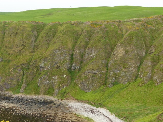
Brown Hill is a prominent hill located in the county of Banffshire, in the northeastern region of Scotland. With a summit reaching 462 meters (1,516 feet) above sea level, it is considered a significant landmark in the area. The hill is situated near the coastal town of Portsoy, offering breathtaking views of the surrounding countryside and the North Sea.
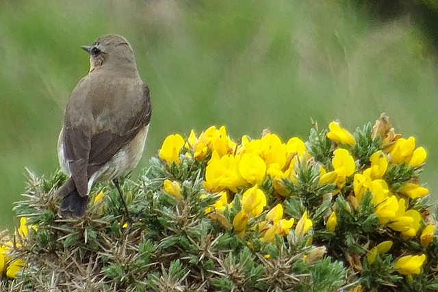
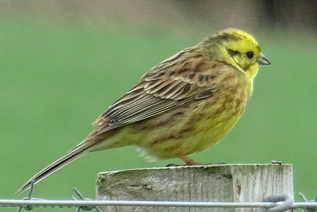
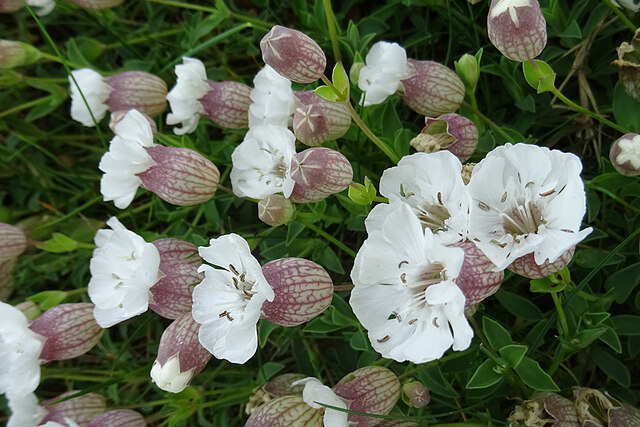
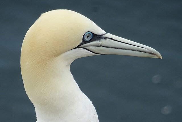
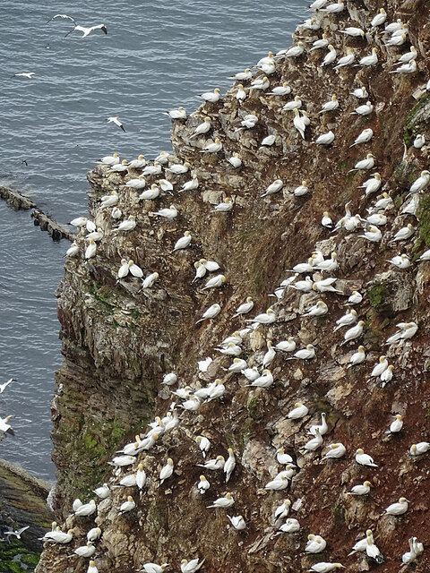
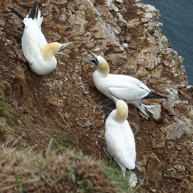
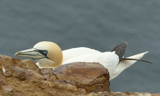
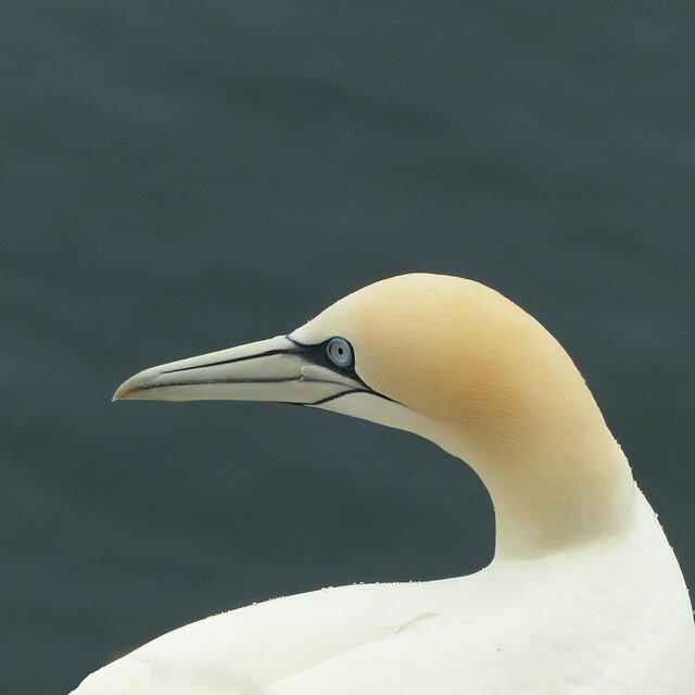
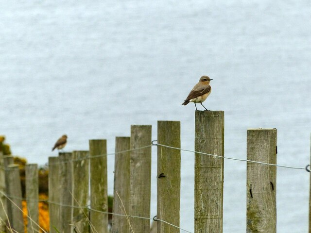
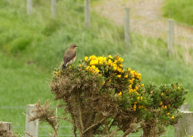
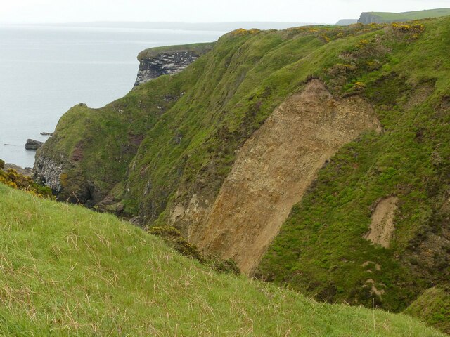
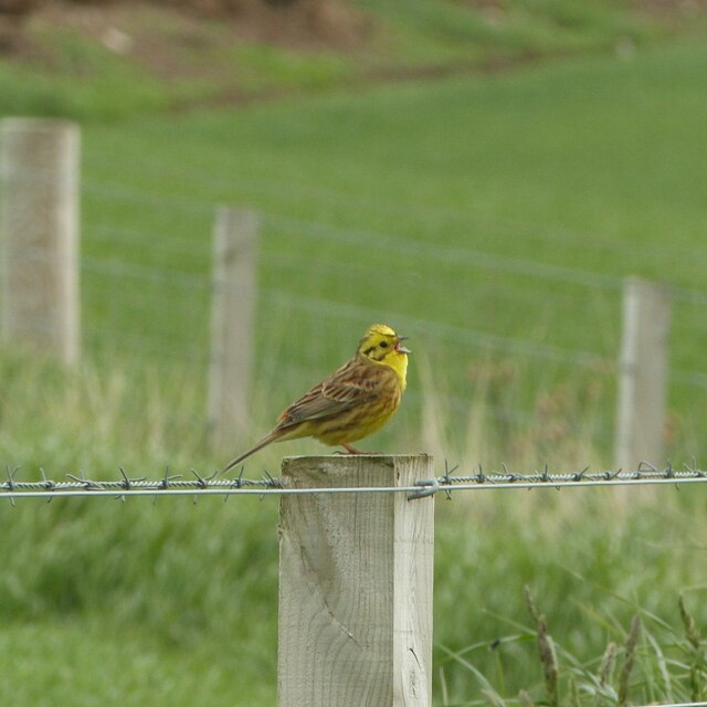
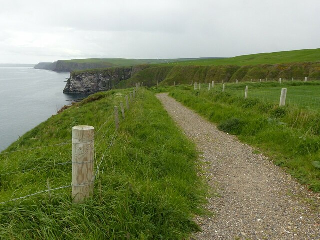
Covered by lush green vegetation, Brown Hill is characterized by its gently sloping sides, making it accessible to hikers and nature enthusiasts. The hill is part of the larger Brown Hill and Corskie Hill Nature Reserve, which encompasses a diverse range of habitats, including open moorland, woodlands, and heathland. This biodiversity hotspot attracts a wide variety of bird species, making it a popular spot for birdwatchers.
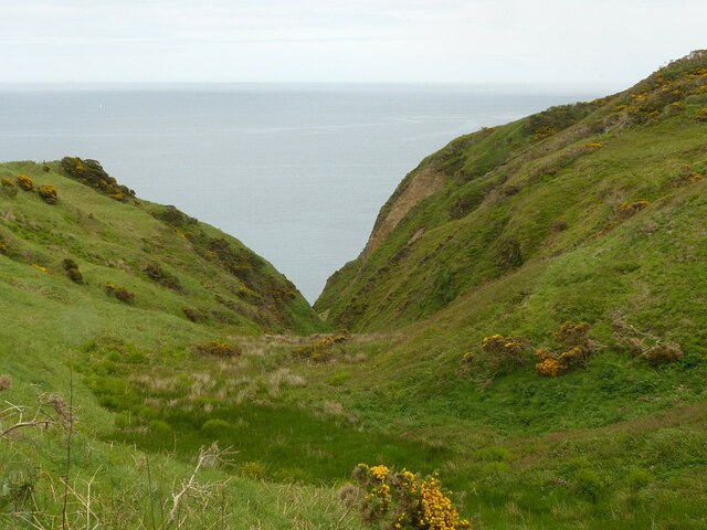
The summit of Brown Hill provides panoramic vistas of the surrounding landscape, including the Moray Firth and the Grampian Mountains in the distance. On a clear day, visitors can even catch a glimpse of the rugged coastline and nearby towns. The hill offers a tranquil escape from the hustle and bustle of urban life, with peaceful walking trails allowing visitors to explore the area at their own pace.
Brown Hill holds historical significance as well, with traces of ancient settlements and archaeological sites found in its vicinity. The hill's history dates back centuries, and it is believed to have been an important landmark for local communities in the past.
Overall, Brown Hill in Banffshire offers a captivating blend of natural beauty, rich biodiversity, and historical significance, making it a must-visit destination for outdoor enthusiasts and those seeking a serene escape in the heart of Scotland.
If you have any feedback on the listing, please let us know in the comments section below.
Brown Hill Images
Images are sourced within 2km of 57.693183/-2.3005958 or Grid Reference NJ8267. Thanks to Geograph Open Source API. All images are credited.

Brown Hill is located at Grid Ref: NJ8267 (Lat: 57.693183, Lng: -2.3005958)
Unitary Authority: Aberdeenshire
Police Authority: North East
What 3 Words
///defaults.position.slowness. Near Rosehearty, Aberdeenshire
Nearby Locations
Related Wikis
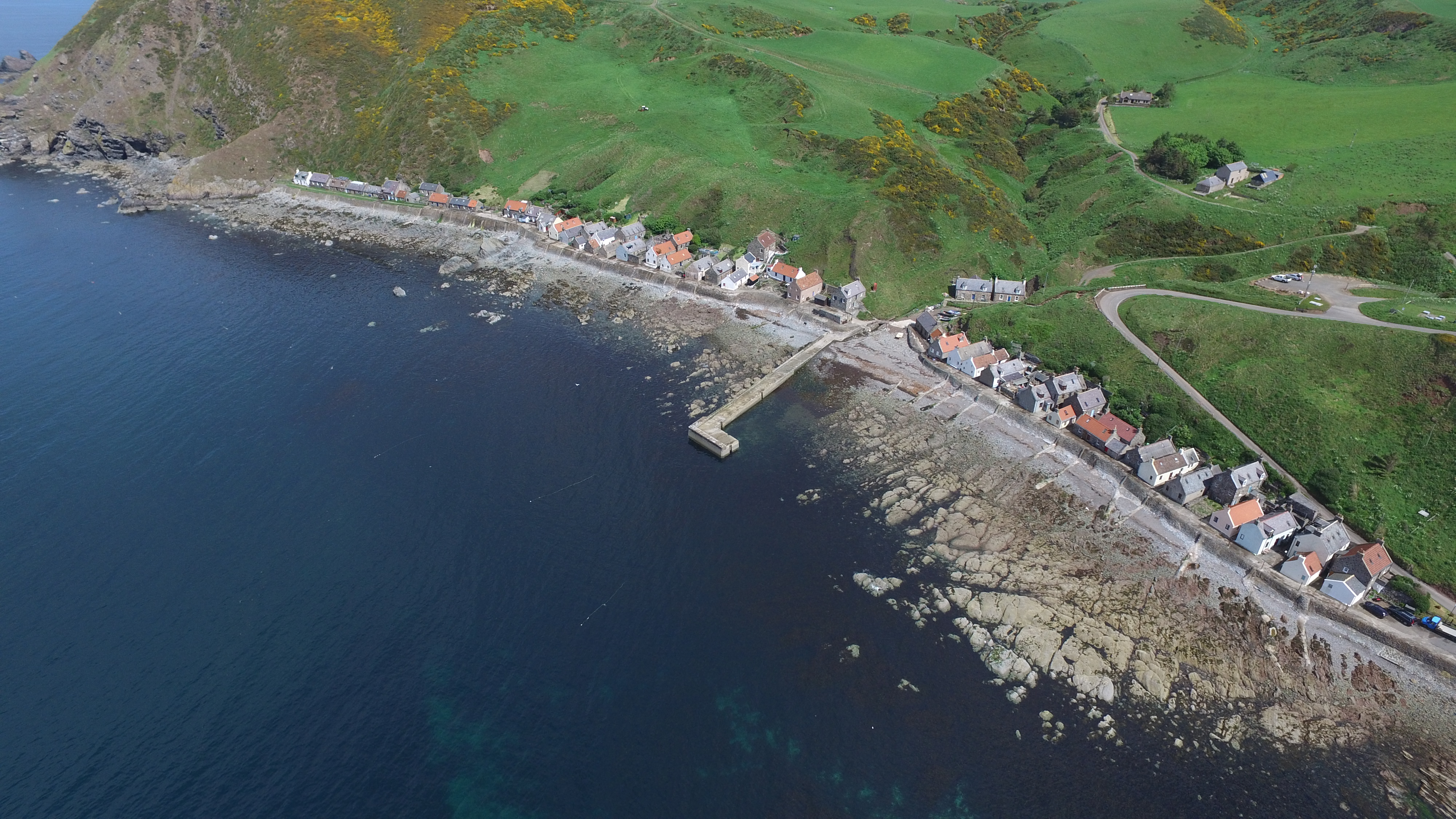
Crovie
Crovie is a small village in Aberdeenshire, Scotland, dating from the 18th century, a time when the sea was the only mode of transport to and from Scotland...

Pennan
Pennan (Scots: Peenan) is a small village in Aberdeenshire, Scotland, consisting of a small harbour and a single row of homes, including a hotel. It is...

Gamrie Bay
Gamrie Bay is a bay in Aberdeenshire, Scotland. The bay is between Crovie Head and More Head. The villages of Gardenstown and Crovie are located within...

Gardenstown
Gardenstown (Scots: Gamrie) is a small coastal village, 8.7 miles (14.0 km) by road east of Banff in Aberdeenshire, northeastern Scotland. The village...

Auchmeddan Castle
Auchmeddan Castle was a castle, most likely dating from the 16th century, now demolished, located 9 miles (14 km) west of Fraserburgh, at Mains of Auchmeddan...

St John's Church, Gamrie
St John's Church is a ruined church and kirkyard in the parish of Gamrie, Aberdeenshire, Scotland. The church, dedicated to St John the Evangelist, was...

Dubford
Dubford is a small village in northern coastal Aberdeenshire, Scotland. Dubford is situated along the B9031 road approximately 6 kilometres (3.7 mi) east...

Rescue from SS William Hope
In the 1884 rescue from SS William Hope in Aberdour Bay off the north coast of Aberdeenshire in Scotland Jane Whyte rescued fifteen sailors from their...
Nearby Amenities
Located within 500m of 57.693183,-2.3005958Have you been to Brown Hill?
Leave your review of Brown Hill below (or comments, questions and feedback).