Bonfire Hill

Hill, Mountain in Lancashire Rossendale

England

Bonfire Hill

Scrap Merchants in Rawtenstall J.S. Leach and Sons, Metal Recyclers located on Burnley Road in Rawtenstall
Scrap Merchants in Rawtenstall Credit: Chris Heaton

Bonfire Hill is a prominent landmark situated in the county of Lancashire, England. It is categorized as a hill rather than a mountain, with an elevation of approximately 300 meters (984 feet). Located in the southern part of the county, specifically in the Forest of Bowland Area of Outstanding Natural Beauty, it offers breathtaking panoramic views of the surrounding countryside.

The name "Bonfire Hill" is believed to have originated from its historical association with the practice of beacon fires. In the past, these fires were lit on the hilltop as a means of communication, particularly during times of conflict or celebration. Today, remnants of these ancient fires are not visible, but the name serves as a reminder of the area's rich history.

Nature enthusiasts and hikers are drawn to Bonfire Hill due to its diverse flora and fauna. The hill is covered in a mixture of grasslands, heather, and scattered trees, providing a habitat for various bird species and small mammals. The landscape is characterized by undulating slopes and rocky outcrops, making it an appealing destination for outdoor activities such as walking, hiking, and photography.

Access to Bonfire Hill is relatively straightforward, with several footpaths leading up to the summit. These paths are well-maintained, ensuring a safe and enjoyable experience for visitors. The hill's location within the Forest of Bowland also means that it is surrounded by other natural attractions, including rivers, valleys, and additional walking trails.

Overall, Bonfire Hill is a captivating destination for those seeking natural beauty and outdoor adventure in Lancashire. Its historical significance, stunning views, and diverse wildlife make it a must-visit location for both locals and tourists alike.

If you have any feedback on the listing, please let us know in the comments section below.
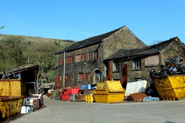
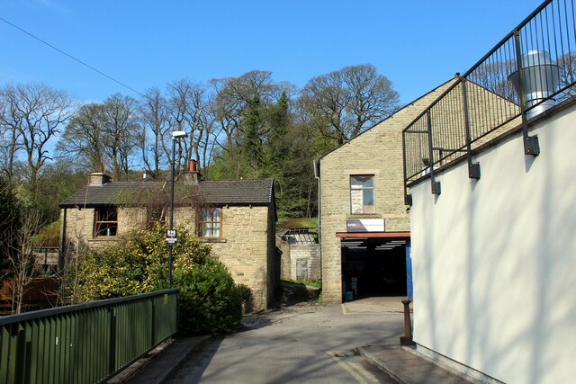
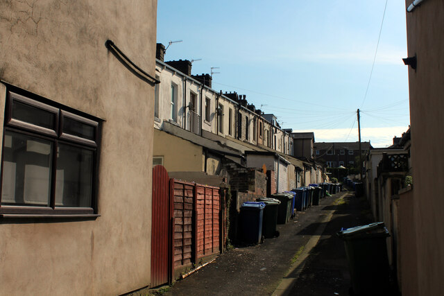
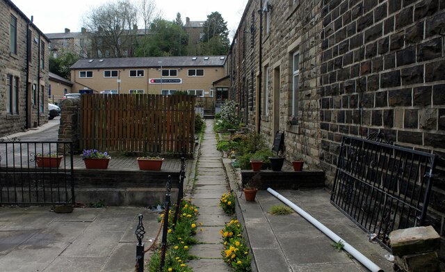
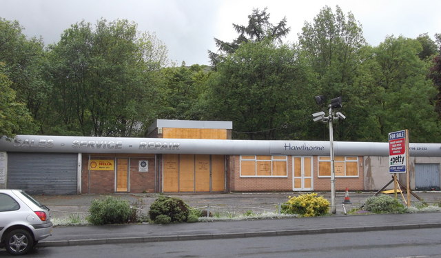
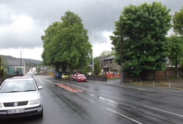
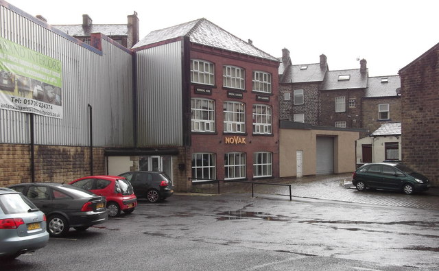
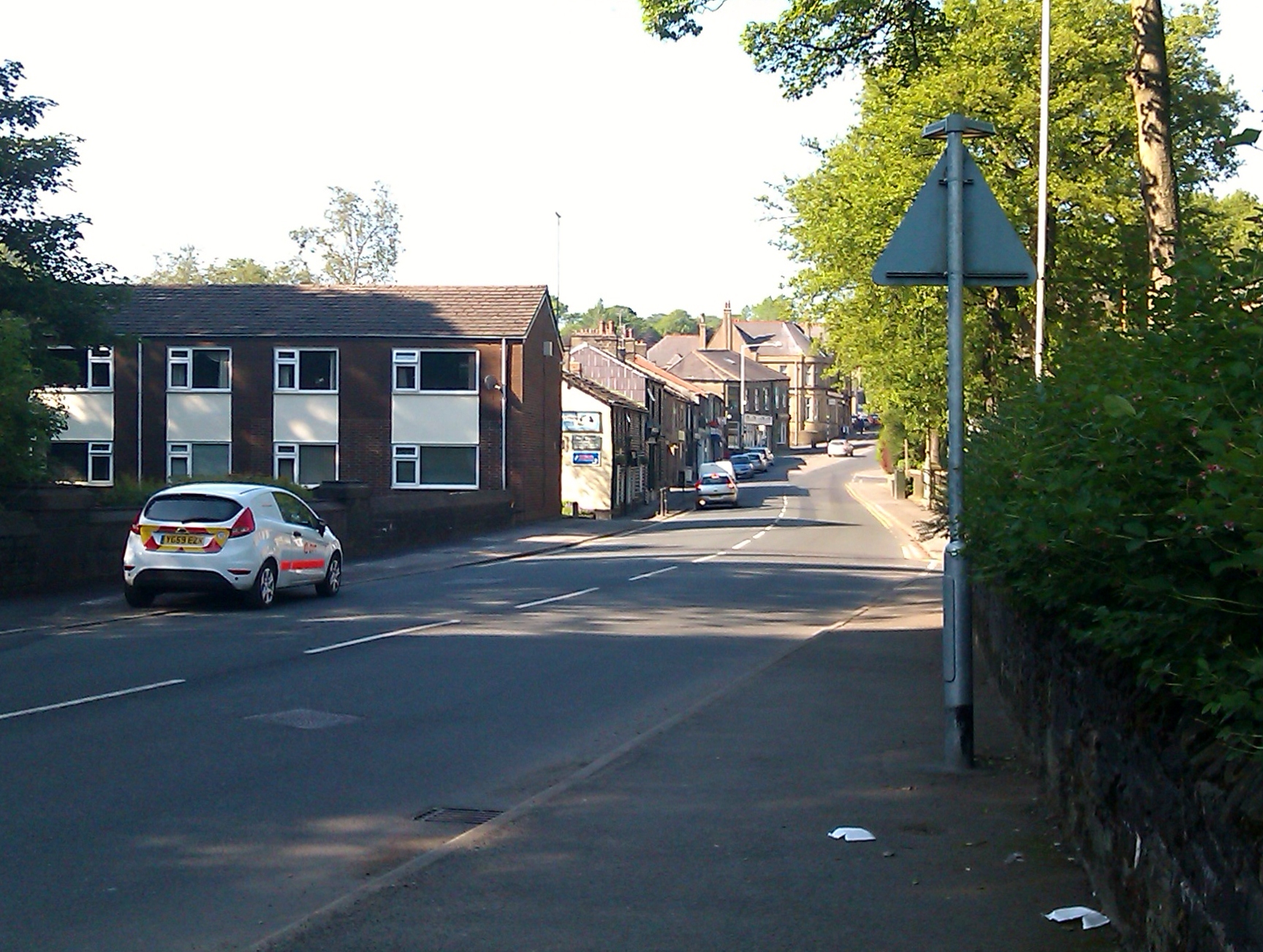
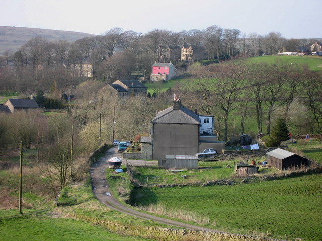
Bonfire Hill Images

Images are sourced within 2km of 53.720728/-2.2728096 or Grid Reference SD8224. Thanks to Geograph Open Source API. All images are credited.

Scrap Merchants in Rawtenstall J.S. Leach and Sons, Metal Recyclers located on Burnley Road in Rawtenstall
Scrap Merchants in Rawtenstall
J.S. Leach and Sons, Metal Recyclers located on Burnley Road in Rawtenstall
Cul de Sac off Burnley Road, Rawtenstall
Burnley Road heading North out of Rawtenstall The A682 road heading for Burnley
Burnley Road heading North out of Rawtenstall
The A682 road heading for Burnley
Back Alley between Woodcroft Street and Thorn Street Back Alley leading of the A682, Burnley Road
Back Alley between Woodcroft Street and Thorn Street
Back Alley leading of the A682, Burnley Road
Burnley Road The A682 heading north towards Burnley from Rawtenstall
Burnley Road
The A682 heading north towards Burnley from Rawtenstall
Short Clough Lane Private lane serving Short Clough Farm and Sunnyside Bungalow
Short Clough Lane
Private lane serving Short Clough Farm and Sunnyside Bungalow
St. John the Evangelist Church, Crawshawbooth The building is in a right old state, now showing signs of long term neglect and abandonment.
Grade II Listed, it's condition has been noted in the at Risk Register as Very Bad.
St. John the Evangelist Church, Crawshawbooth
The building is in a right old state, now showing signs of long term neglect and abandonment. Grade II Listed, it's condition has been noted in the at Risk Register as Very Bad.
The Chapel on Lord Street, Crawshawbooth Former Sunnyside Primitive Methodist Church dating back from 1877 - now a private dwelling
The Chapel on Lord Street, Crawshawbooth
Former Sunnyside Primitive Methodist Church dating back from 1877 - now a private dwelling
Access Lane for Sunny Bank Farm Narrow lane leading up to the pet cemetery by Sunny Bank Farm
Access Lane for Sunny Bank Farm
Narrow lane leading up to the pet cemetery by Sunny Bank Farm
View towards Love Clough and Goodshaw Panorama over the upper Limy Water valley.
View towards Love Clough and Goodshaw
Panorama over the upper Limy Water valley.
Footpath leading to Lower Fairbanks Farm The footpath from Sunny Bank Farm follows the stone wall, faithfully - although there is no evidence of existence on the ground.
Footpath leading to Lower Fairbanks Farm
The footpath from Sunny Bank Farm follows the stone wall, faithfully - although there is no evidence of existence on the ground.
Ash Grove, Rawtenstall Cul de Sac off Burnley Road in Rawtenstall
Ash Grove, Rawtenstall
Cul de Sac off Burnley Road in Rawtenstall
Ivy Grove, Rawtenstall
"Hawthorne Motor Company" Burnley Road, Rawtenstall, Rossendale, Lancashire, BB4 8HH Closed down and now for sale
"Hawthorne Motor Company" Burnley Road, Rawtenstall, Rossendale, Lancashire, BB4 8HH
Closed down and now for sale
Burnley Road, Rawtenstall, Lancashire
X43 Burnley Road, Rawtenstall, Lancashire En route to Manchester
X43 Burnley Road, Rawtenstall, Lancashire
En route to Manchester
J Novak (Tailor) Ltd. 331 Burnley Road. Rawtenstall. Rossendale. Lancashire. BB4 8LA
"St. James Medical Centre" Burnley Road, Rawtenstal, Rossendale BB4 8HH This was a school.
"St. James Medical Centre" Burnley Road, Rawtenstal, Rossendale BB4 8HH
This was a school.
Show me another place!

Bonfire Hill is located at Grid Ref: SD8224 (Lat: 53.720728, Lng: -2.2728096)

Administrative County: Lancashire

District: Rossendale

Police Authority: Lancashire

What 3 Words

///invent.sharp.trembles. Near Rawtenstall, Lancashire

Nearby Locations

Bonfire Hill Walls Clough

Related Wikis

Crawshawbooth

Crawshawbooth is a small village located on the edge of the Pennines in England, just north of the market town of Rawtenstall, Lancashire, and south of...

St John the Evangelist's Church, Crawshawbooth

St John the Evangelist's Church is in the village of Crawshawbooth, near Rawtenstall, Lancashire, England. It is a redundant Anglican parish church formerly...

Goodshaw

Goodshaw is a hamlet situated on the edge of the Pennine hills in England, located just north of the market town of Rawtenstall in Lancashire. To the south...

Alder Grange School

Alder Grange School is a secondary school and sixth form located in the east Lancashire town of Rawtenstall, England. == Facilities == The school's sporting...

Nearby Amenities

Located within 500m of 53.720728,-2.2728096
Generator Method: wind_turbine
Generator Source: wind
Power: generator
Lat/Long: 53.7202632/-2.2745458
Generator Method: wind_turbine
Generator Source: wind
Power: generator
Lat/Long: 53.7202998/-2.2708706
Generator Method: wind_turbine
Generator Source: wind
Power: generator
Lat/Long: 53.7214499/-2.2728424
Generator Method: wind_turbine
Generator Source: wind
Power: generator
Lat/Long: 53.7211839/-2.2716454
The data included in this document is from www.openstreetmap.org. The data is made available under ODbL.

Have you been to Bonfire Hill?

Leave your review of Bonfire Hill below (or comments, questions and feedback).