Black Hill
Hill, Mountain in Lancashire Burnley
England
Black Hill
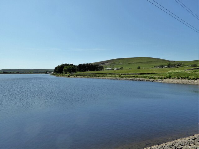
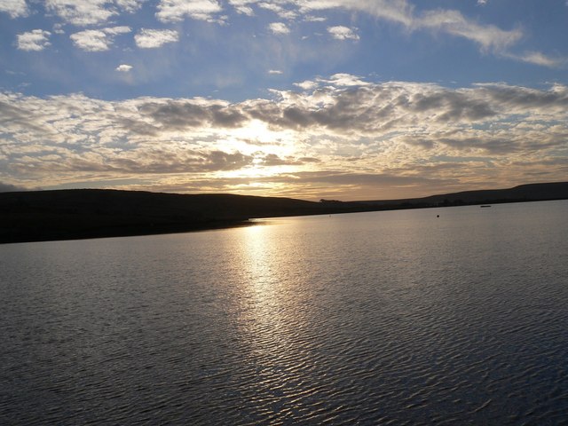
Located in the county of Lancashire, England, Black Hill is a notable hill that forms part of the West Pennine Moors. Standing at an elevation of approximately 1,312 feet (400 meters), it offers panoramic views of the surrounding countryside and is a popular destination for outdoor enthusiasts and nature lovers.
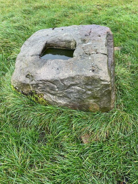
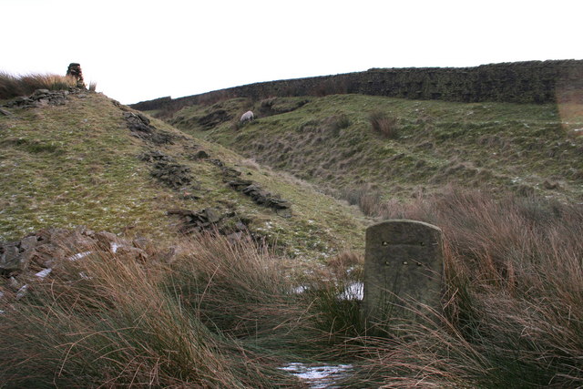
Black Hill is situated within the borough of Rossendale, near the town of Haslingden. It is predominantly composed of gritstone and shale, giving it a distinct dark appearance that contributes to its name. The hill is covered in heather and grasses, providing a rich habitat for a variety of wildlife, including birds, mammals, and insects.
The hill attracts hikers and walkers who enjoy exploring the numerous footpaths and trails that crisscross its slopes. A well-maintained footpath leads to the summit, offering visitors an opportunity to marvel at the breathtaking views of the surrounding Lancashire countryside, including the nearby towns of Blackburn and Burnley.
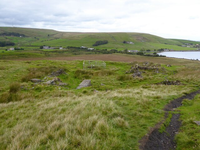
Black Hill also holds historical significance, as evidence of Bronze Age settlements and ancient burial sites have been discovered in the area. These archaeological remnants provide insight into the region's past and offer a glimpse into the lives of its early inhabitants.
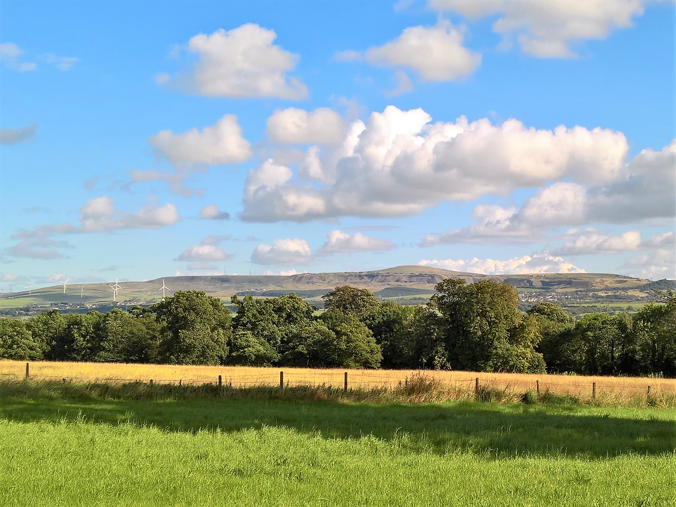
Furthermore, Black Hill is home to a number of wind turbines, contributing to the region's renewable energy efforts. These towering structures harness the power of the wind, providing clean electricity for local communities.
Overall, Black Hill in Lancashire offers visitors a chance to immerse themselves in the beauty of the British countryside, providing stunning views, diverse wildlife, and a glimpse into the region's rich history.
If you have any feedback on the listing, please let us know in the comments section below.
Black Hill Images
Images are sourced within 2km of 53.75687/-2.280127 or Grid Reference SD8128. Thanks to Geograph Open Source API. All images are credited.


Black Hill is located at Grid Ref: SD8128 (Lat: 53.75687, Lng: -2.280127)
Administrative County: Lancashire
District: Burnley
Police Authority: Lancashire
What 3 Words
///backed.models.looks. Near Hameldon Hill, Lancashire
Nearby Locations
Related Wikis
Dunnockshaw
Dunnockshaw or Dunnockshaw and Clowbridge is a civil parish in the borough of Burnley, in Lancashire, England. The parish is situated between Burnley and...
Loveclough
Loveclough is a small hamlet at the edge of the Rossendale Valley, in Lancashire, England, near Crawshawbooth and Rawtenstall, 20 miles north of Manchester...
Gambleside
Gambleside is an abandoned village located in northern Rossendale close to the boundary with Burnley's Dunnockshaw parish. In the late Middle Ages Gambleside...

Habergham Eaves
Habergham Eaves is a civil parish in the borough of Burnley, in Lancashire, England. The parish consists of a rural area south of Burnley, and suburban...
Hameldon Hill
Hameldon Hill is a Carboniferous sandstone hill with a summit elevation of 409 metres (1,342 ft), situated between the towns of Burnley and Accrington...
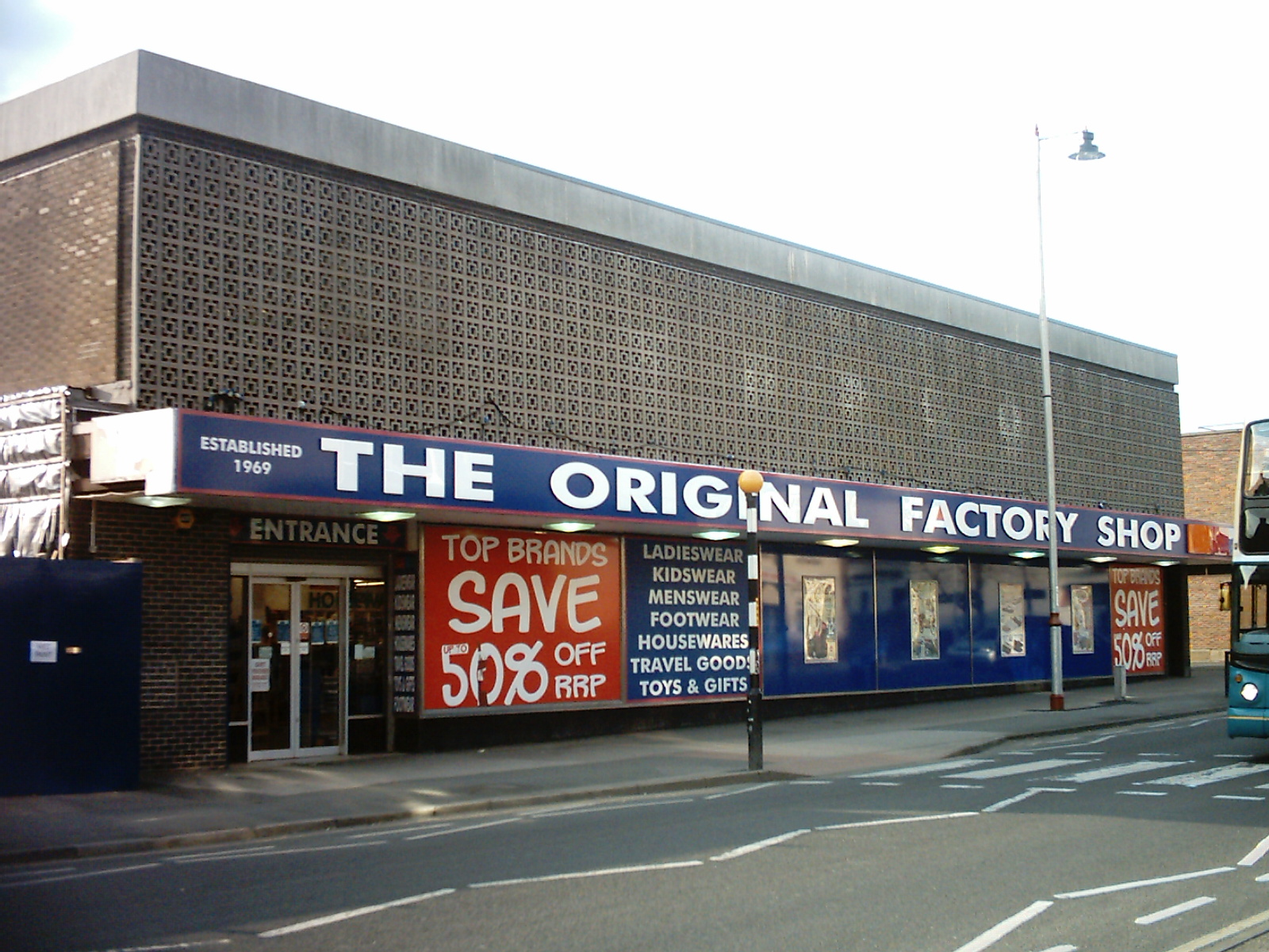
The Original Factory Shop
The Original Factory Shop is a discount department store chain that was established in 1969. It currently operates almost two hundred stores across the...

Hapton Valley Colliery
Hapton Valley Colliery was a coal mine on the edge of Hapton near Burnley in Lancashire, England. Its first shafts were sunk in the early 1850s and it...

Hameldon Community College
Hameldon Community College was a mixed 11–16 comprehensive school located in Burnley, Lancashire, England. == History == The school opened in September...
Nearby Amenities
Located within 500m of 53.75687,-2.280127Have you been to Black Hill?
Leave your review of Black Hill below (or comments, questions and feedback).