Carmont
Hill, Mountain in Kincardineshire
Scotland
Carmont

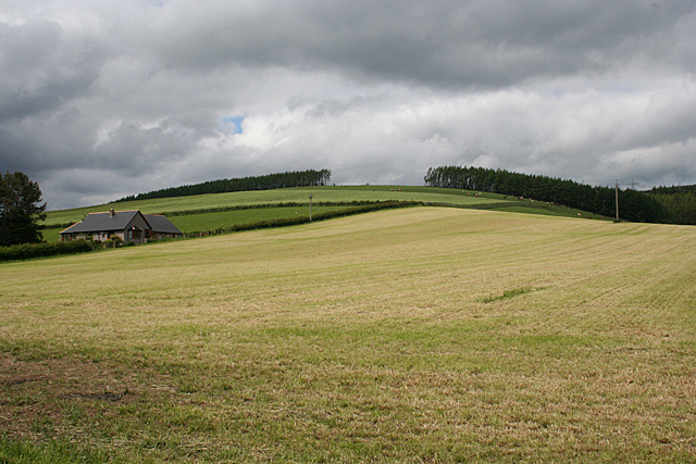
Carmont is a prominent hill located in the village of Hillside, Kincardineshire, Scotland. It stands at an elevation of approximately 193 meters (633 feet) above sea level, offering stunning panoramic views of the surrounding countryside and the North Sea coastline.
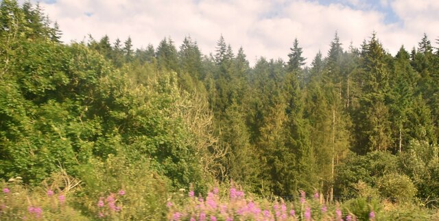
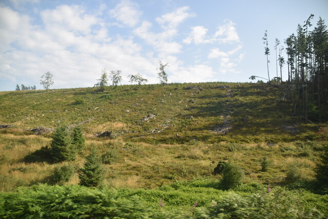
The hill is renowned for its distinctive shape, characterized by its steep slopes and a distinctive summit ridge. It is primarily composed of granite, which gives it a rugged and weathered appearance. The terrain is a mix of grassy slopes, heather moorland, and rocky outcrops, providing a diverse and picturesque landscape.
Carmont is a popular destination for both locals and visitors, especially outdoor enthusiasts and nature lovers. It offers several walking trails and paths that cater to various levels of difficulty, making it suitable for everyone, from casual walkers to experienced hikers. The hill is also a haven for wildlife, with sightings of various bird species, including peregrine falcons and kestrels.
Additionally, Carmont holds historical significance as it is home to several Iron Age hillforts, offering glimpses into Scotland's ancient past. These hillforts are remnants of ancient settlements and provide an intriguing glimpse into the lives of the people who lived there centuries ago.
Overall, Carmont is a picturesque and historically significant hill that entices visitors with its natural beauty, diverse wildlife, and captivating views. Whether one seeks a challenging hike or a peaceful stroll, Carmont is a must-visit destination for those exploring Kincardineshire.
If you have any feedback on the listing, please let us know in the comments section below.
Carmont Images
Images are sourced within 2km of 56.952384/-2.3135424 or Grid Reference NO8184. Thanks to Geograph Open Source API. All images are credited.


Carmont is located at Grid Ref: NO8184 (Lat: 56.952384, Lng: -2.3135424)
Unitary Authority: Aberdeenshire
Police Authority: North East
What 3 Words
///videos.imported.poets. Near Stonehaven, Aberdeenshire
Nearby Locations
Related Wikis
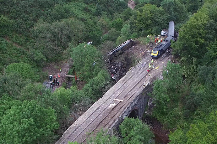
Stonehaven derailment
The Stonehaven derailment was a fatal railway accident that occurred at 09:38 BST on 12 August 2020, when a passenger train returning to Aberdeen hit a...

Tewel
Tewel is a hamlet located approximately two miles west of Stonehaven, Kincardineshire on the Auchenblae Road in Northeast Scotland. It consists of: Tewel...

Carmont railway station
Carmont railway station, on the Aberdeen Railway, served the rural area of Carmont in Aberdeenshire, Scotland from 1855 to 1964. == History == The station...
Fetteresso Castle
Fetteresso Castle is a 14th-century tower house, rebuilt in 1761 as a Scottish Gothic style Palladian manor, with clear evidence of prehistoric use of...
Nearby Amenities
Located within 500m of 56.952384,-2.3135424Have you been to Carmont?
Leave your review of Carmont below (or comments, questions and feedback).