Hunger Hill
Hill, Mountain in Dorset
England
Hunger Hill
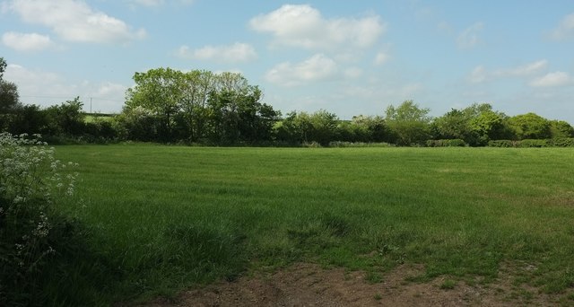
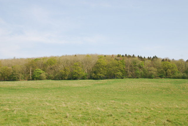
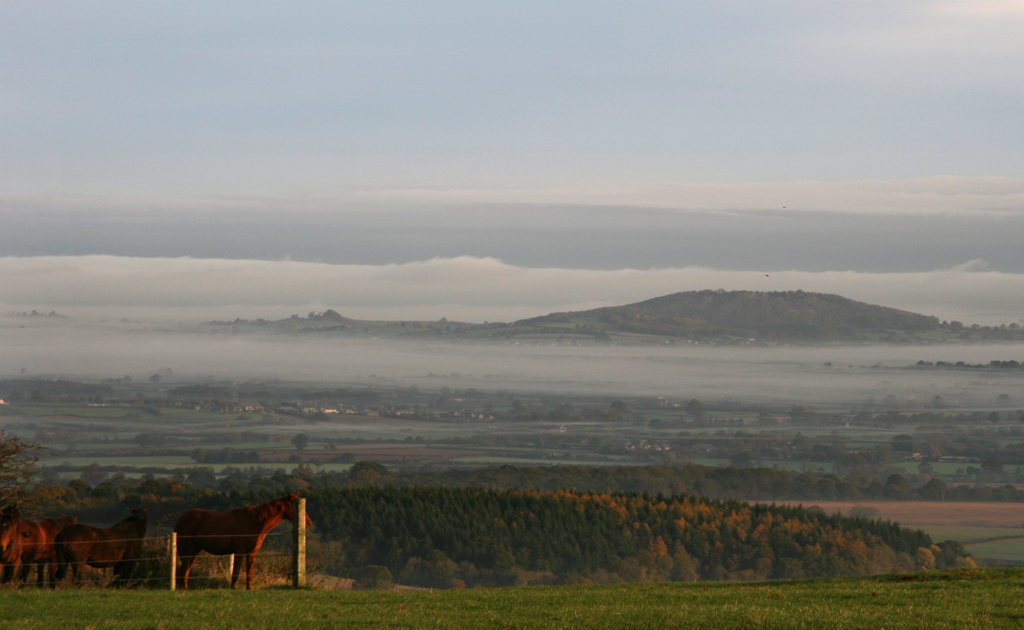
Hunger Hill is a prominent hill located in the county of Dorset, England. Standing at an elevation of 264 meters (866 feet), it is considered one of the highest points in the region. Situated within the Cranborne Chase Area of Outstanding Natural Beauty, Hunger Hill offers breathtaking panoramic views of the surrounding countryside.
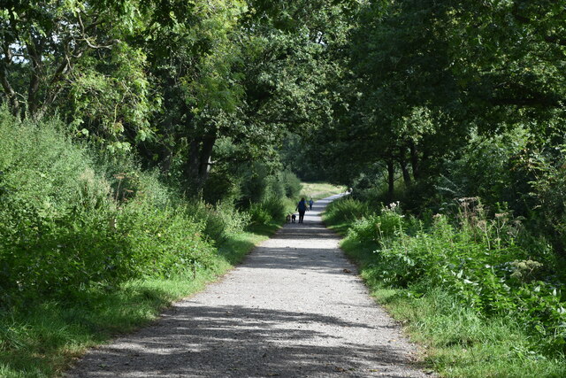
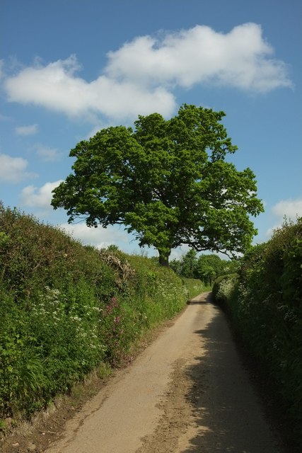
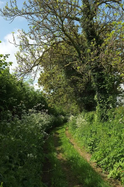
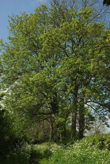
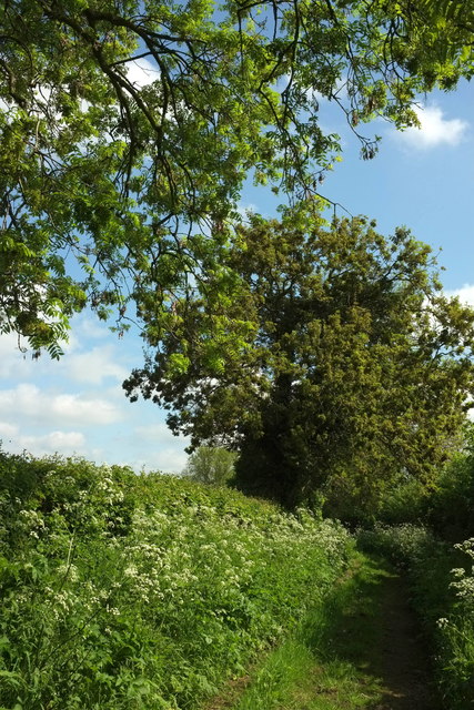
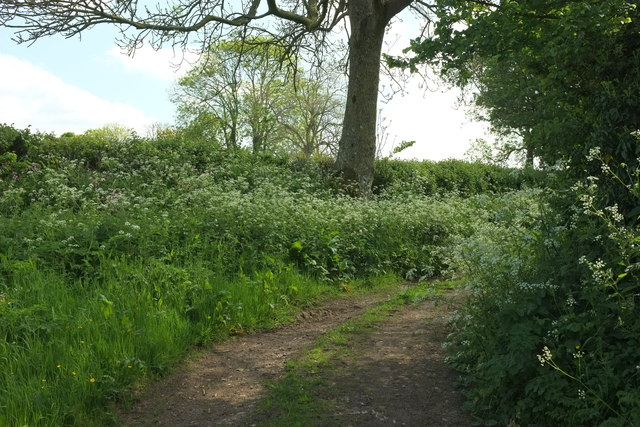
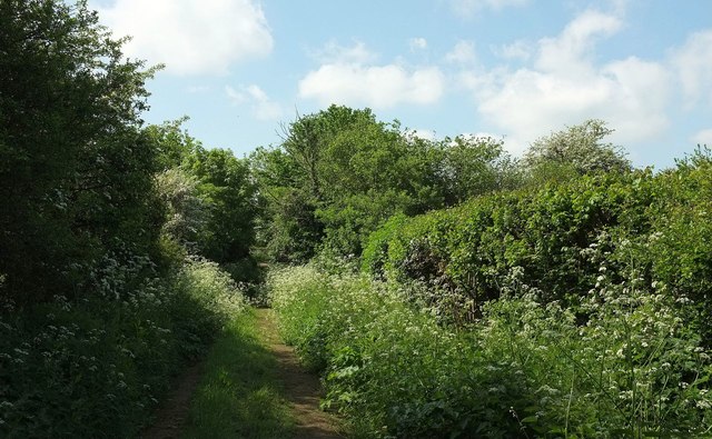
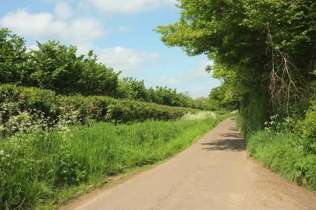
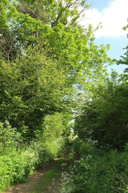
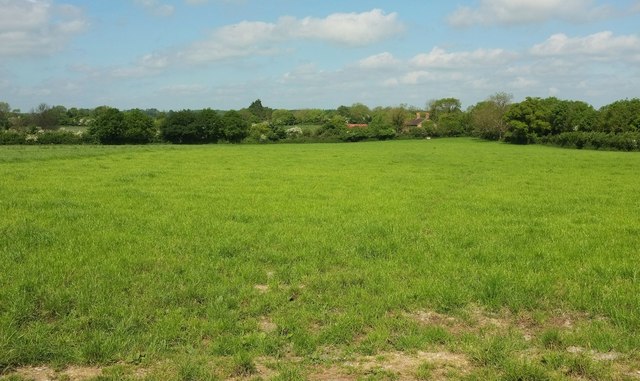
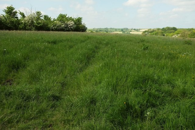
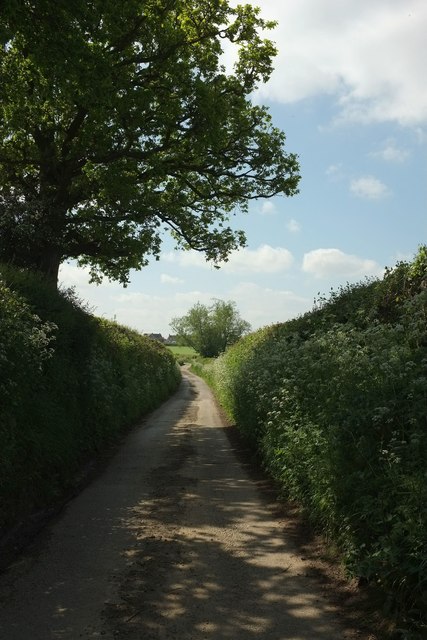
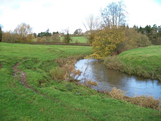
Covered in a mix of grassland, heathland, and patches of woodland, Hunger Hill boasts a diverse range of flora and fauna. It is home to various species of birds, butterflies, and wildflowers, making it a haven for nature enthusiasts and photographers. Walking trails and footpaths traverse the hill, allowing visitors to explore its beauty and enjoy the tranquil atmosphere.
Historically, Hunger Hill has been a site of interest due to its strategic position. During WWII, an airfield was constructed on the hill, which played a crucial role in the defense of the country. Vestiges of this wartime past can still be seen, adding an additional layer of historical significance to the area.
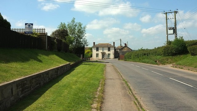
The hill is easily accessible by road, with parking facilities available nearby. Its proximity to the charming town of Shaftesbury, famous for its stunning views and historic buildings, makes Hunger Hill a popular destination for day trips and outdoor activities.
In summary, Hunger Hill in Dorset is a picturesque and historically significant hill offering stunning views, diverse wildlife, and opportunities for outdoor exploration. Whether it be for a leisurely stroll or a more challenging hike, Hunger Hill provides a memorable experience for both locals and tourists alike.
If you have any feedback on the listing, please let us know in the comments section below.
Hunger Hill Images
Images are sourced within 2km of 51.011802/-2.2774538 or Grid Reference ST8023. Thanks to Geograph Open Source API. All images are credited.


Hunger Hill is located at Grid Ref: ST8023 (Lat: 51.011802, Lng: -2.2774538)
Unitary Authority: Dorset
Police Authority: Dorset
What 3 Words
///gazes.parade.slam. Near Gillingham, Dorset
Nearby Locations
Related Wikis
East Stour, Dorset
East Stour is a village and civil parish in the ceremonial county of Dorset in southern England. It lies within the Dorset administrative district, about...
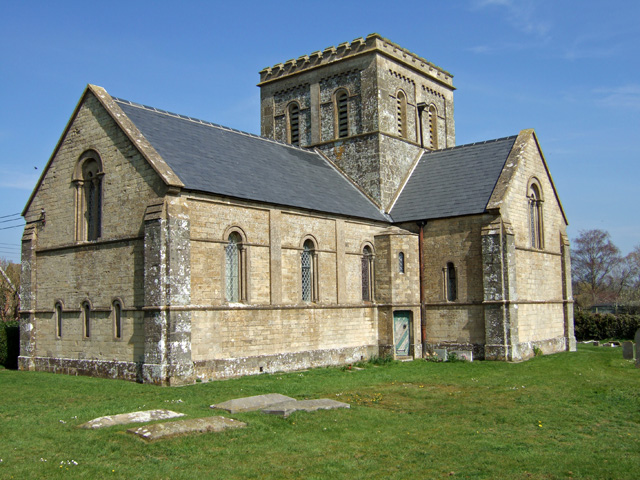
Christ Church, East Stour
Christ Church is a Church of England parish church in East Stour, Dorset, England. The church, a Grade II listed building, was designed by George Alexander...
Duncliffe Wood
Duncliffe Wood is an ancient woodland on the summit of Duncliffe Hill, a few miles west of Shaftesbury. The area of the site is 92.16 hectares (227.7 acres...
Duncliffe Hill
At 210 metres, Duncliffe Hill is one of the highest hills in the Blackmore Vale region in the county of Dorset, England. == Location == Duncliffe Hill...
Bugley
Bugley is a small hamlet in the district of North Dorset, in the county of Dorset, England. The River Stour runs past the hamlet. It is close to the town...

West Stour, Dorset
West Stour is a village and civil parish situated in the Blackmore Vale area of North Dorset, England. It is one of a group of villages known as The Stours...

Gillingham Friary
Gillingham Friary was possibly a Dominican friary in the town of Gillingham, Dorset, England. == References == == External links == "Friaries: The Dominicans...

Gillingham railway station (Dorset)
Gillingham railway station is in Gillingham, Dorset, England. It is on the West of England Main Line, 105 miles 23 chains (169.4 km) down the line from...
Nearby Amenities
Located within 500m of 51.011802,-2.2774538Have you been to Hunger Hill?
Leave your review of Hunger Hill below (or comments, questions and feedback).