Bubble Hill
Hill, Mountain in Yorkshire Richmondshire
England
Bubble Hill

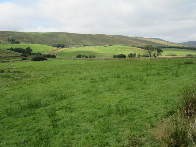
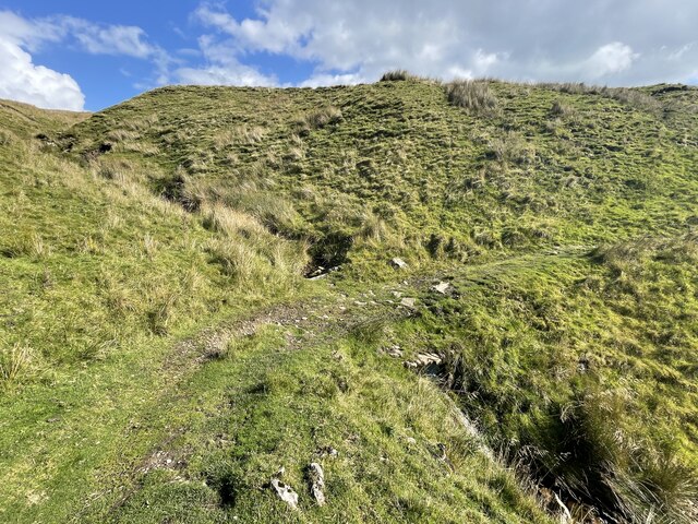
Bubble Hill is a prominent feature located in the picturesque region of Yorkshire, England. Situated in the northern part of the county, this hill is a popular destination for nature enthusiasts and hikers alike. With an elevation of approximately 450 meters (1476 feet), it offers breathtaking views of the surrounding countryside.
The distinctive name "Bubble Hill" is derived from the unique geological formations found in the area. These formations consist of exposed limestone rocks that resemble bubbles, giving the hill its characteristic appearance. This geological phenomenon has been shaped over millions of years through erosion and weathering processes.
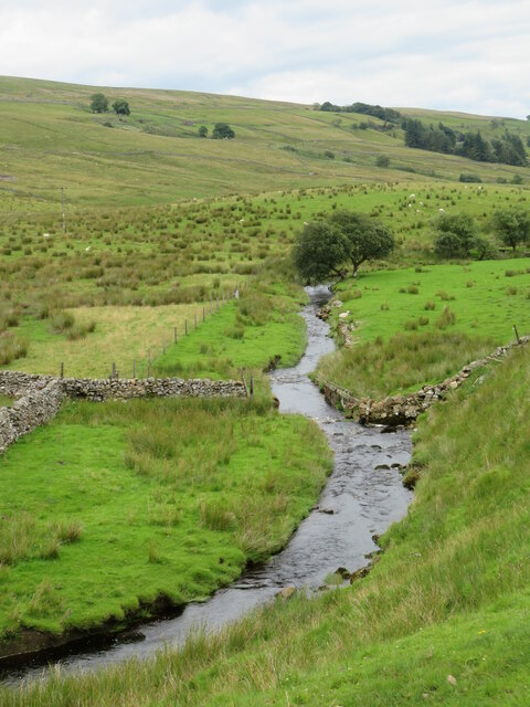
The hill is covered in lush greenery, with a variety of plant species thriving in its fertile soil. Visitors can expect to encounter a diverse range of flora and fauna, including colorful wildflowers, vibrant mosses, and numerous bird species. The hill's rich biodiversity attracts nature lovers and birdwatchers who come to observe and appreciate the local wildlife.
Hiking trails crisscross the hill, providing opportunities for outdoor activities and exploration. These trails vary in difficulty, catering to both casual walkers and seasoned hikers. As visitors ascend Bubble Hill, they are rewarded with panoramic views of the surrounding Yorkshire Dales, offering a stunning vista of rolling hills, valleys, and distant villages.
Bubble Hill is a place of tranquility and natural beauty, offering a serene escape from the hustle and bustle of everyday life. Its unique geological features, stunning landscape, and abundant wildlife make it a must-visit destination for both locals and tourists seeking to immerse themselves in the beauty of Yorkshire's countryside.
If you have any feedback on the listing, please let us know in the comments section below.
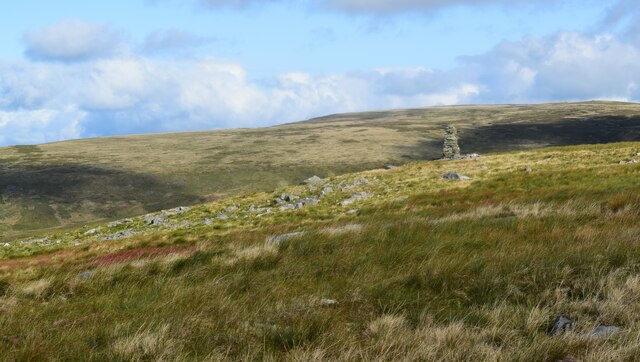
Bubble Hill Images
Images are sourced within 2km of 54.352269/-2.2999966 or Grid Reference SD8095. Thanks to Geograph Open Source API. All images are credited.


![Low West End This could be described as the last [or first] farm in Wensleydale, but then there's some dispute as to whether Wensleydale extends 'round the corner' from the Moorcock to the watershed.](https://s0.geograph.org.uk/geophotos/07/55/91/7559164_a39f1a62.jpg)


Bubble Hill is located at Grid Ref: SD8095 (Lat: 54.352269, Lng: -2.2999966)
Division: North Riding
Administrative County: North Yorkshire
District: Richmondshire
Police Authority: North Yorkshire
What 3 Words
///noting.detonated.host. Near Kirkby Stephen, Cumbria
Nearby Locations
Related Wikis

Lunds, North Yorkshire
Lunds is a hamlet in North Yorkshire, England, near to the watershed of the Eden and Ure rivers. It is on the border between Cumbria and North Yorkshire...
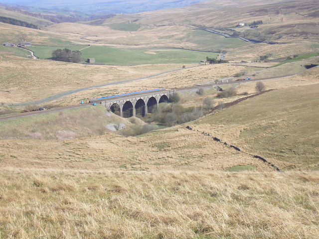
Hawes Junction rail crash
The Hawes Junction rail crash occurred at 5.49 am on 24 December 1910, just north of Lunds Viaduct between Hawes Junction (now known as Garsdale station...
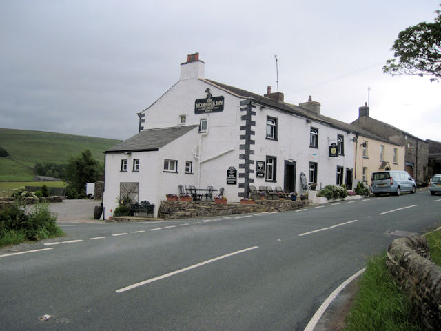
Moorcock Inn
The Moorcock Inn is a public house at the watershed of the Eden, Clough and Ure rivers, in Upper Wensleydale, North Yorkshire, England. It is adjacent...

Cotterdale
Cotterdale is a small side dale and hamlet on the north side of Wensleydale in North Yorkshire, England. The dale lies to the west of Great Shunner Fell...

Eden Sike Cave
Eden Sike Cave is a small cave in Mallerstang in the Eden valley in Cumbria, England 400 metres (440 yd) north of Hell Gill. The entrance is 391 metres...

Aisgill
Aisgill is the southernmost of the hamlets that form the parish of Mallerstang in the English county of Cumbria. It is on the B6259 road, at the head of...

Dandry Mire Viaduct
Dandry Mire Viaduct, (or Dandrymire Viaduct), is a railway viaduct on the Settle & Carlisle line in Cumbria, England. It is just north of Garsdale station...

Grisedale
Grisedale (sometimes Grisdale, or Grizedale [archaic]) is a south east facing Dale in Cumbria, England, 8 miles (13 km) east of Sedbergh, and 7 miles...
Have you been to Bubble Hill?
Leave your review of Bubble Hill below (or comments, questions and feedback).