Junction
Settlement in Yorkshire
England
Junction
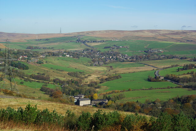
Junction is a small village located in the county of Yorkshire, England. Situated in the eastern part of the county, Junction lies in the picturesque countryside, surrounded by rolling hills and lush green fields. The village is part of the larger district of Yorkshire Dales, renowned for its natural beauty and charming rural landscapes.
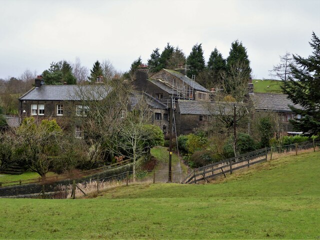
With a population of around 500 residents, Junction retains its quaint and traditional character. The village is predominantly residential, with a scattering of small businesses and local amenities. The architecture in Junction is predominantly made up of stone cottages and houses, which add to the village's rustic charm.
Despite its small size, Junction boasts a strong sense of community spirit. The village has a local community center, which serves as a hub for various social and recreational activities. Additionally, the village hosts several annual events and festivals that bring together residents and visitors alike.
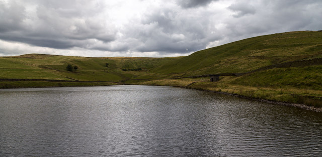
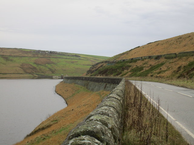
Surrounded by stunning natural scenery, Junction offers ample opportunities for outdoor activities. The village is situated near several walking and cycling trails, allowing residents and tourists to explore the beautiful countryside. Furthermore, the nearby River Aire provides opportunities for fishing and boating enthusiasts.
Junction is well-connected to nearby towns and cities through a network of roads and public transportation. The village is served by regular bus services, making it easy for residents to access amenities and services in the surrounding areas.
Overall, Junction offers a peaceful and idyllic setting for those seeking a rural retreat in the heart of Yorkshire.
If you have any feedback on the listing, please let us know in the comments section below.
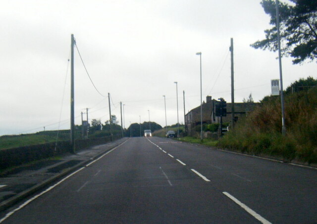
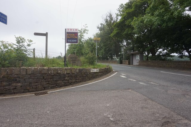
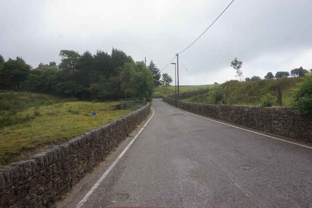
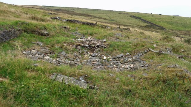
Junction Images
Images are sourced within 2km of 53.591785/-2.040759 or Grid Reference SD9710. Thanks to Geograph Open Source API. All images are credited.


Junction is located at Grid Ref: SD9710 (Lat: 53.591785, Lng: -2.040759)
Division: West Riding
Unitary Authority: Oldham
Police Authority: Greater Manchester
What 3 Words
///foremost.forensic.acrobatic. Near Delph, Manchester
Related Wikis

Denshaw
Denshaw is a village in the civil parish of Saddleworth in the Metropolitan Borough of Oldham, in Greater Manchester, England. It lies by the source of...

Rooden Reservoir
Rooden Reservoir is a reservoir in the Piethorne Valley in the Metropolitan Borough of Rochdale, within Greater Manchester, England. It is close to Denshaw...

Crompton Moor
Crompton Moor (archaically known as High Moor) is an area of moorland in the South Pennines, in North West England. It lies along the northeastern outskirts...
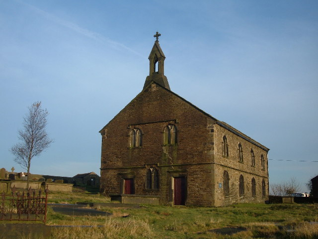
St Thomas' Church, Friarmere
St Thomas' Church, Friarmere, also known as Heights Chapel, is a redundant Anglican church standing on a hillside overlooking the village of Delph, Greater...
Nearby Amenities
Located within 500m of 53.591785,-2.040759Have you been to Junction?
Leave your review of Junction below (or comments, questions and feedback).