Bale Hill

Hill, Mountain in Northumberland

England

Bale Hill

Old railway goods van near Limestone Brae The location of this old railway goods van is shown in <a href="https://www.geograph.org.uk/photo/2632397">NY7950 : West Allen Dale around Limestone Brae</a> and <a href="https://www.geograph.org.uk/photo/2632414">NY7950 : West Allen Dale north of Limestone Brae</a>.
Old railway goods van near Limestone Brae Credit: Mike Quinn

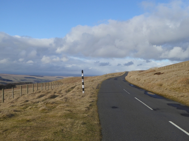
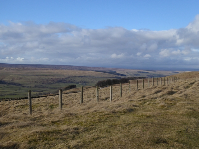
Bale Hill, located in the county of Northumberland, is a prominent hill that forms part of the stunning North Pennines Area of Outstanding Natural Beauty in northern England. Standing at an elevation of 574 meters (1,883 feet), it offers breathtaking panoramic views of the surrounding landscape.

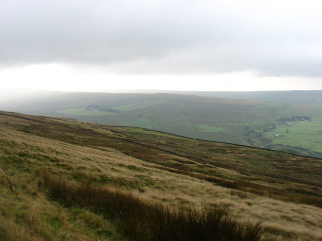
Situated near the small village of Allendale, Bale Hill is a popular destination for outdoor enthusiasts and nature lovers alike. The hill is predominantly composed of grassy slopes, with some rocky outcrops visible on its summit. Its distinctive shape and commanding presence make it easily recognizable from a distance.

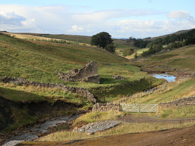
The hill is traversed by several footpaths, allowing visitors to explore its diverse flora and fauna. The surrounding area is rich in wildlife, and lucky observers may spot various species of birds, including curlews and red grouse, as well as hares and rabbits. The hill is also home to a variety of plant species, including heather, moss, and wildflowers, which create a colorful tapestry during the summer months.

Bale Hill offers a range of outdoor activities for adventure seekers. Hiking and trekking are popular options, with routes varying in difficulty to cater to different levels of fitness and experience. The hill's summit provides an ideal vantage point to admire the breathtaking Northumberland countryside, including nearby valleys and other hills in the distance.

Overall, Bale Hill is a stunning natural feature that showcases the beauty of the North Pennines. Its picturesque landscape, coupled with its accessibility and recreational opportunities, make it a must-visit destination for those seeking a memorable outdoor experience in Northumberland.

If you have any feedback on the listing, please let us know in the comments section below.
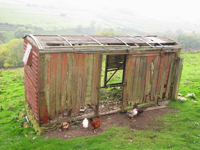
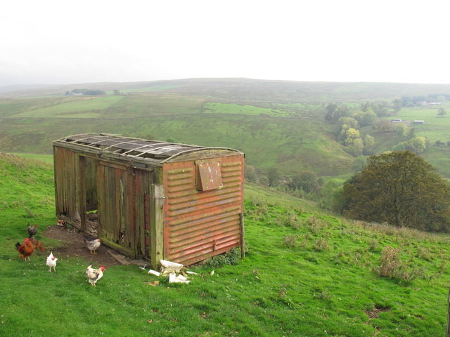
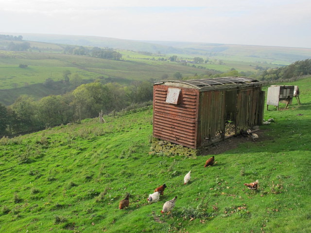
Bale Hill Images

Images are sourced within 2km of 54.834197/-2.3238323 or Grid Reference NY7948. Thanks to Geograph Open Source API. All images are credited.

Old railway goods van near Limestone Brae The location of this old railway goods van is shown in <a href="https://www.geograph.org.uk/photo/2632397">NY7950 : West Allen Dale around Limestone Brae</a> and <a href="https://www.geograph.org.uk/photo/2632414">NY7950 : West Allen Dale north of Limestone Brae</a>.
Old railway goods van near Limestone Brae
The location of this old railway goods van is shown in NY7950 : West Allen Dale around Limestone Brae and NY7950 : West Allen Dale north of Limestone Brae.
West Allen Dale around Limestone Brae Shows the location of <a href="https://www.geograph.org.uk/photo/2632388">NY7950 : Old railway goods van near Limestone Brae</a>.
West Allen Dale around Limestone Brae
West Allen Dale north of Limestone Brae Shows the location of <a href="https://www.geograph.org.uk/photo/2632388">NY7950 : Old railway goods van near Limestone Brae</a>.
West Allen Dale north of Limestone Brae
Moorland road to Allendale This moorland road linking the upper end of West Allendale with Allendale Town rises to almost 500 metres above sea level.
Moorland road to Allendale
This moorland road linking the upper end of West Allendale with Allendale Town rises to almost 500 metres above sea level.
Fence line above West Allendale
On Kevelin Moor Looking down into West Allen Dale.
On Kevelin Moor
Looking down into West Allen Dale.
Ruined Farmhouse
Ruined Farmhouse
Middle
Middle
Footpath through Middle
Ruined Building and Overgrown Garden
Solar Panels on House and Outbuildings near Middle
Ruin by River West Allen, Carrshield The ruined building is named Mill House on the 25" OS map (1898).
Ruin by River West Allen, Carrshield
The ruined building is named Mill House on the 25" OS map (1898).
Ford, River West Allen, Limestone Brae A byway here fords the River West Allen in the valley deep below the hamlet of Limestone Brae.
Ford, River West Allen, Limestone Brae
A byway here fords the River West Allen in the valley deep below the hamlet of Limestone Brae.
Yew Crags Wellhope Burn here flows through a rocky gorge. The ice meant that I could explore without getting my feet wet.
Yew Crags
Wellhope Burn here flows through a rocky gorge. The ice meant that I could explore without getting my feet wet.
New House More a barn than a house, and not that new.
New House
More a barn than a house, and not that new.
Wellhope One ruin and one still standing.
Wellhope
One ruin and one still standing.
Little Hill Looking north across Jackson's Moss.
Little Hill
Looking north across Jackson's Moss.
Roadside hay at The Nook The Nook can jut be seen in the trees.
Roadside hay at The Nook
The Nook can jut be seen in the trees.
Show me another place!

Bale Hill is located at Grid Ref: NY7948 (Lat: 54.834197, Lng: -2.3238323)

Unitary Authority: Northumberland

Police Authority: Northumbria

What 3 Words

///annoys.larger.hoped. Near Alston, Cumbria

Related Wikis

Throssel Hole Buddhist Abbey

Throssel Hole Buddhist Abbey is a Buddhist monastery and retreat centre located in Northumberland, in northern England. The monastic order is equally for...

Carr Shield

Carrshield is a village in Northumberland, in England. It is situated in the Pennines approximately between Penrith and Hexham. It is a small village with...

Allendale Moors

Allendale Moors is a Site of Special Scientific Interest (SSSI) in Northumberland, England. The upland moorland ridge site is listed for its heath, flush...

Coalcleugh

Coalcleugh is a hamlet in Northumberland, England. It is situated in the Pennines between Penrith and Hexham. In the past it was well known as a lead mining...

Nearby Amenities

Located within 500m of 54.834197,-2.3238323
Turney Shield
Fixme: OS_OpenData_StreetView and other sources put this across valley
Place: locality
Lat/Long: 54.836699/-2.3214544
Barrier: cattle_grid
Lat/Long: 54.8363727/-2.3299676
The data included in this document is from www.openstreetmap.org. The data is made available under ODbL.

Have you been to Bale Hill?

Leave your review of Bale Hill below (or comments, questions and feedback).