Jordanston
Settlement in Pembrokeshire
Wales
Jordanston

The requested URL returned error: 429 Too Many Requests
If you have any feedback on the listing, please let us know in the comments section below.
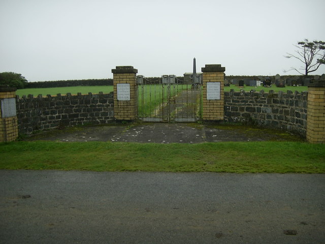
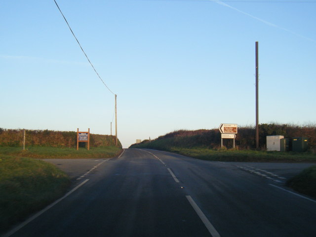
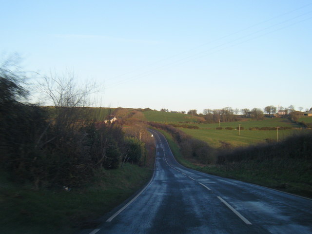
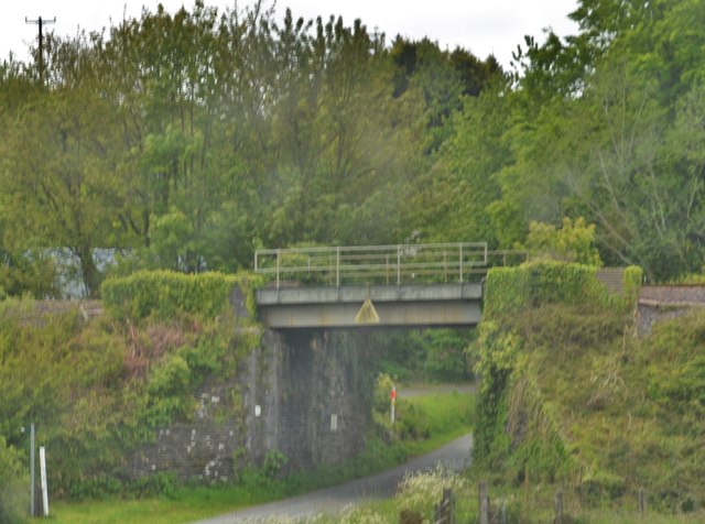
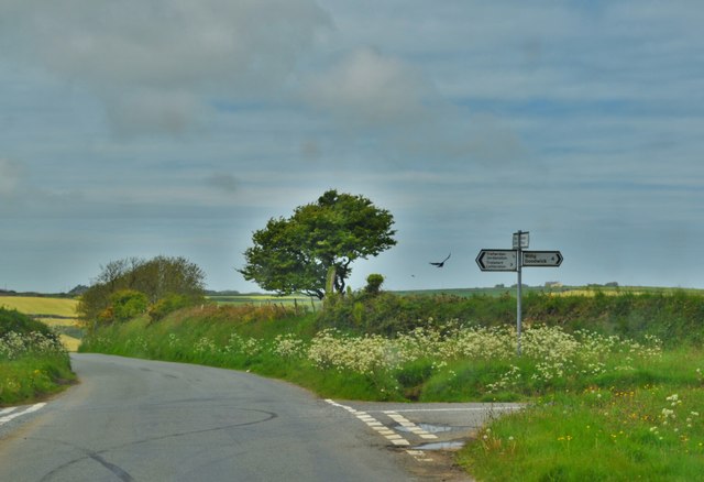
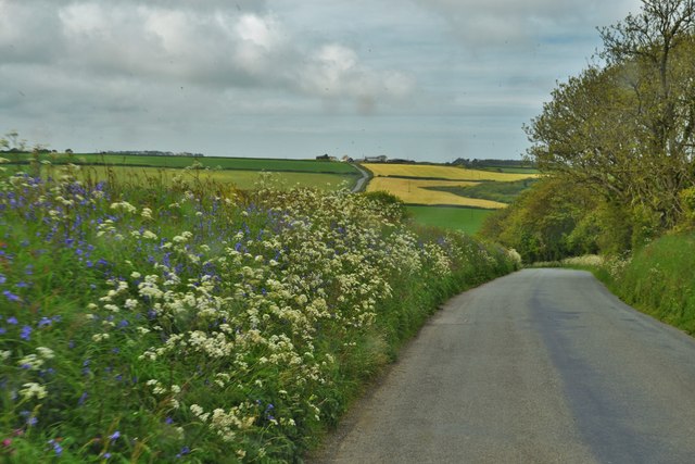
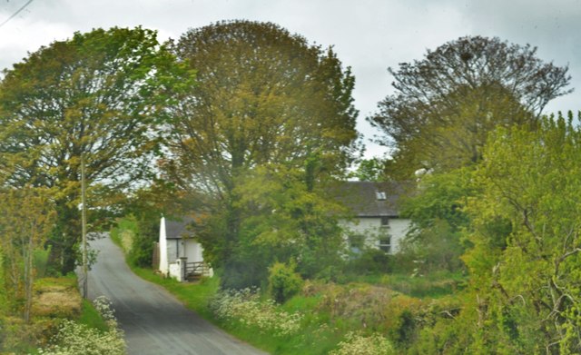
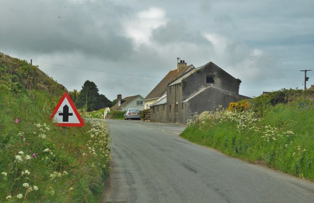
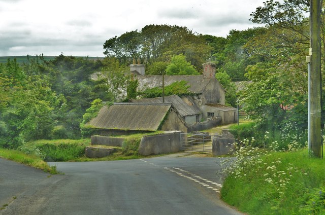
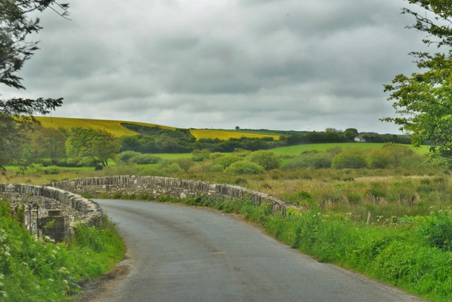
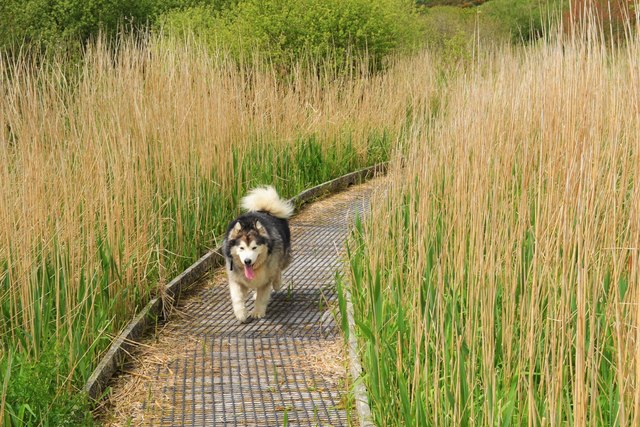
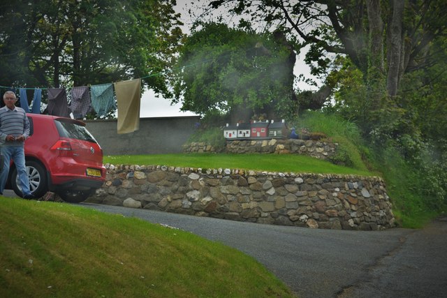
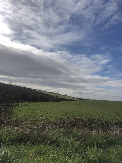
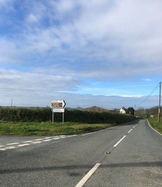
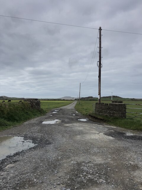
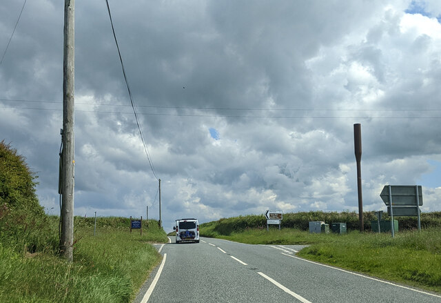
Jordanston Images
Images are sourced within 2km of 51.952854/-5.030199 or Grid Reference SM9132. Thanks to Geograph Open Source API. All images are credited.
Jordanston is located at Grid Ref: SM9132 (Lat: 51.952854, Lng: -5.030199)
Unitary Authority: Pembrokeshire
Police Authority: Dyfed Powys
Also known as: Trefwrdan
What 3 Words
///music.served.decking. Near Scleddau, Pembrokeshire
Nearby Locations
Related Wikis

Jordanston Halt railway station
Jordanston Halt railway station was an intermediate stop on the Great Western Railway's line to Fishguard Harbour. It served the hamlet of Jordanston,...

Corsydd Llangloffan
Corsydd Llangloffan is a Site of Special Scientific Interest (or SSSI) in Pembrokeshire, South Wales. It has been designated as a Site of Special Scientific...

Castlemorris
Castlemorris (Welsh: Casmorys; also known as Castle Morris or Castle Maurice) is a small village in the parish and community of Mathry, Pembrokeshire,...

Mathry Road Halt railway station
Mathry Road Halt railway station was on the Clarbeston Road and Letterston line of the Great Western Railway. It served the village of Letterston 1 mile...
Nearby Amenities
Located within 500m of 51.952854,-5.030199Have you been to Jordanston?
Leave your review of Jordanston below (or comments, questions and feedback).