Burned Hill

Hill, Mountain in Yorkshire Craven

England

Burned Hill

The Pennine Way near New Head Hill
The Pennine Way near New Head Hill Credit: Dave Kelly

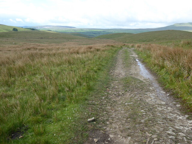
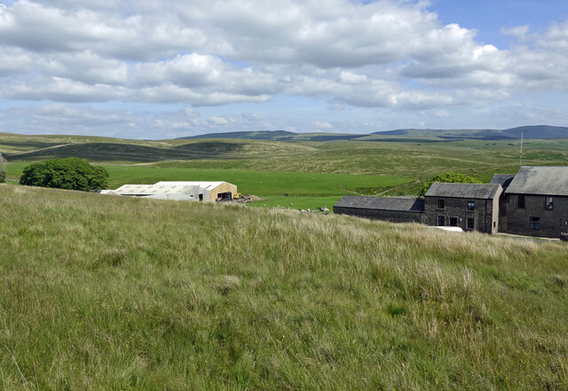
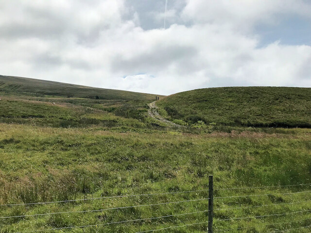
Burned Hill is a prominent natural feature located in the county of Yorkshire, England. Situated in the northern part of the county, Burned Hill is classified as a hill rather than a mountain, reaching an elevation of approximately 500 meters (1,640 feet) above sea level. It is part of the North York Moors National Park, known for its stunning landscapes and diverse wildlife.

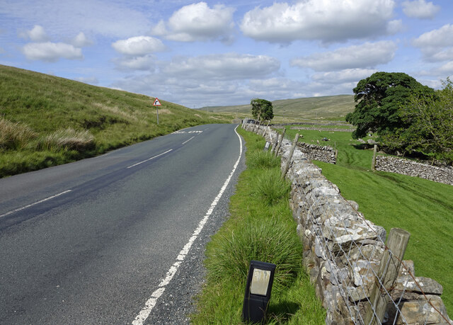
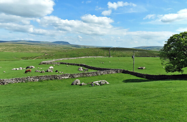
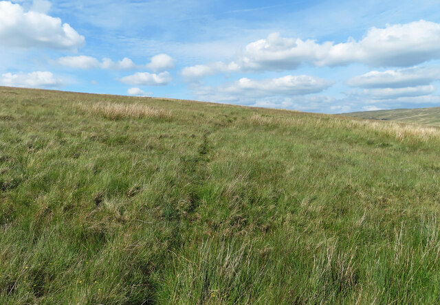
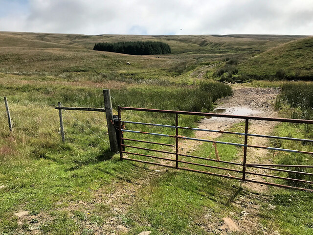
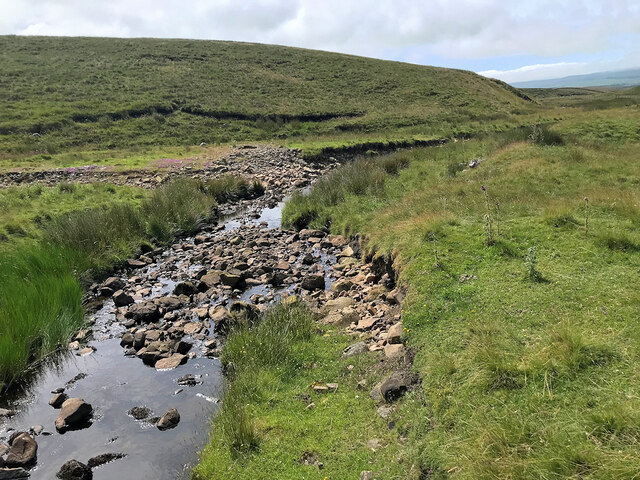
The name "Burned Hill" is derived from the Old Norse word "brandr," meaning burned or scorched, which suggests a historical association with fire or burning. The hill is characterized by its rugged terrain and steep slopes, covered with heather, grasses, and patches of rocky outcrops. It offers breathtaking panoramic views of the surrounding countryside, including the nearby villages and valleys.

Burned Hill attracts visitors who enjoy outdoor activities such as hiking, walking, and birdwatching. The hill is home to a variety of bird species, including merlins, golden plovers, and short-eared owls, making it a popular destination for bird enthusiasts. Additionally, the hill provides habitat for other wildlife, such as mountain hares and various species of wildflowers.

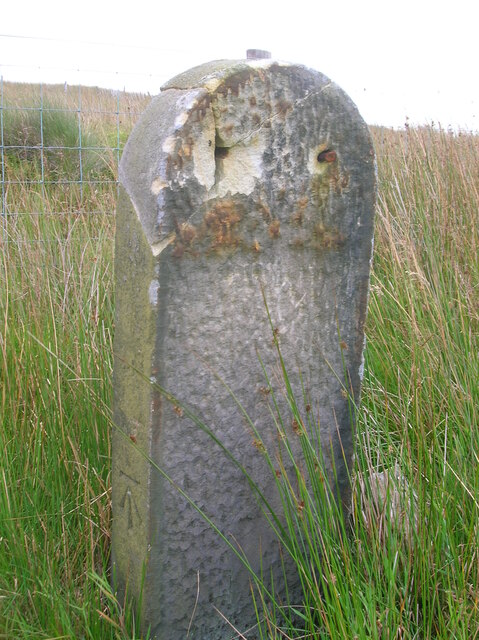
The area surrounding Burned Hill is rich in history and heritage, with evidence of ancient settlements and archaeological sites. It is believed that the hill has been inhabited since the Neolithic period, and remnants of Iron Age fortifications can be found on its slopes. The hill also played a role in medieval times, serving as a landmark and navigational point for travelers in the region.

Overall, Burned Hill is a captivating natural landmark with its stunning scenery, diverse wildlife, and historical significance. It offers a unique opportunity for visitors to connect with nature and explore the rich heritage of Yorkshire's countryside.

If you have any feedback on the listing, please let us know in the comments section below.

Burned Hill Images

Images are sourced within 2km of 54.226311/-2.3214148 or Grid Reference SD7981. Thanks to Geograph Open Source API. All images are credited.

The Pennine Way near New Head Hill
Passing Far Gearstones The B6255 climbs up the moor from Ribblehead before descending into Widdale.
Passing Far Gearstones
The B6255 climbs up the moor from Ribblehead before descending into Widdale.
At Far Gearstones Fields near the farm buildings, marked out by traditional dry-stone walls.
At Far Gearstones
Fields near the farm buildings, marked out by traditional dry-stone walls.
On Green Slack Hill A sort of a path on the moor near Gearstones.
On Green Slack Hill
A sort of a path on the moor near Gearstones.
From Green Slack Hill This view taken from the edge of the hill shows Far Gearstones on the left and Gearstones Lodge on the right.
From Green Slack Hill
This view taken from the edge of the hill shows Far Gearstones on the left and Gearstones Lodge on the right.
Gate onto Gayle Moor
Gayle Beck
Gayle Beck
Blea Moor Road
Blea Moor Road
Gayle Moor
Gayle Moor
Old milestone The backing stone of the West Riding CC milestone set up in 1893/94 that had its metal protruding attachment stolen in 2006.   The metal section was fastened to the backing stone at 4 places so would take some effort to prise off.  Hence the damage.   The legend on the left face was INGLETON/9¼ MILES/LANCASTER/27 MILES and on the right face HAWES/7 MILES/RICHMOND/31 MILES.   On the top section LANCASTER & RICHMOND /ROAD/iNGLETON.  The attachments on this route were cast by William Towler/Globe Foundry/Leeds.  This stone is on the east side of the B6255 south of the junction for Dentdale on the west side.   It is Grade II listed 1132230 so should be repaired sympathetically.
Old milestone
The backing stone of the West Riding CC milestone set up in 1893/94 that had its metal protruding attachment stolen in 2006. The metal section was fastened to the backing stone at 4 places so would take some effort to prise off. Hence the damage. The legend on the left face was INGLETON/9¼ MILES/LANCASTER/27 MILES and on the right face HAWES/7 MILES/RICHMOND/31 MILES. On the top section LANCASTER & RICHMOND /ROAD/iNGLETON. The attachments on this route were cast by William Towler/Globe Foundry/Leeds. This stone is on the east side of the B6255 south of the junction for Dentdale on the west side. It is Grade II listed 1132230 so should be repaired sympathetically.
Old milestone The 13 mile section of the route from Burton in Lonsdale to the old West Riding/North Riding boundary was, prior to 1974, in the West Riding but is now  North Yorkshire.   The previous photograph of this stone at the entrance to Far Gearstones Farm <a href="https://www.geograph.org.uk/photo/6044877">SD7880 : Old Milestone by the B6255, Blea Moor Road, Ingleton Parish</a> was actually taken in April 2015 not as stated.   It has been painted since then but rust is once again showing through.   Grade II listed 1132231.
Old milestone
The 13 mile section of the route from Burton in Lonsdale to the old West Riding/North Riding boundary was, prior to 1974, in the West Riding but is now North Yorkshire. The previous photograph of this stone at the entrance to Far Gearstones Farm SD7880 : Old Milestone by the B6255, Blea Moor Road, Ingleton Parish was actually taken in April 2015 not as stated. It has been painted since then but rust is once again showing through. Grade II listed 1132231.
Old milestone This milestone has been painted since <a href="https://www.geograph.org.uk/photo/6102622">SD7981 : Old Milestone by the B6255 on Gayle Moor</a> was taken but the legends have not been picked out in black.   On the bevel can be seen the rectangle with the maker's name, William Towler, Globe Foundry, Leeds.   On the 1893 contract the metal castings were to be painted blue with white lettering.   It is not known when black letters on white became the norm.   When old paint is stripped off prior to repainting patches of blue can sometimes be seen.   Grade II listed 1289368.
Old milestone
This milestone has been painted since SD7981 : Old Milestone by the B6255 on Gayle Moor was taken but the legends have not been picked out in black. On the bevel can be seen the rectangle with the maker's name, William Towler, Globe Foundry, Leeds. On the 1893 contract the metal castings were to be painted blue with white lettering. It is not known when black letters on white became the norm. When old paint is stripped off prior to repainting patches of blue can sometimes be seen. Grade II listed 1289368.
Old milestone Looking towards Hawes, it can be seen that the backing stone is cracked.   But it is securely held by 4 bolts, 2 in the top part and 2 at the base although they are hidden in the soil at this milestone.   The backing stones were not painted when they were set up but over the years some have been painted white, some black and some grey.   The stones were to be got from a quarry in Kirkstall (Leeds) or be of similar quality.
Old milestone
Looking towards Hawes, it can be seen that the backing stone is cracked. But it is securely held by 4 bolts, 2 in the top part and 2 at the base although they are hidden in the soil at this milestone. The backing stones were not painted when they were set up but over the years some have been painted white, some black and some grey. The stones were to be got from a quarry in Kirkstall (Leeds) or be of similar quality.
Gayle Beck Lodge The ruined remains of Gayle Beck Lodge, a month later the chimney and gable end totally collapsed.
Gayle Beck Lodge
The ruined remains of Gayle Beck Lodge, a month later the chimney and gable end totally collapsed.
The Pennine Way near Cam Fell
Gearstones Lodge The Lodge can accommodate self-catering groups coming to the Yorkshire Dales National Park for outdoor activities.
Gearstones Lodge
The Lodge can accommodate self-catering groups coming to the Yorkshire Dales National Park for outdoor activities.
Approaching Gayle Beck Gayle Beck lies on the other side of the sheep field.
Approaching Gayle Beck
Gayle Beck lies on the other side of the sheep field.
Cam End At the signpost the Pennine Way goes left towards Horton in Ribblesdale and the Dales Way goes straight on in the direction of Ribblehead.
Cam End
At the signpost the Pennine Way goes left towards Horton in Ribblesdale and the Dales Way goes straight on in the direction of Ribblehead.
Show me another place!

Burned Hill is located at Grid Ref: SD7981 (Lat: 54.226311, Lng: -2.3214148)

Division: West Riding

Administrative County: North Yorkshire

District: Craven

Police Authority: North Yorkshire

What 3 Words

///flames.ballpoint.news. Near Ingleton, North Yorkshire

Nearby Locations

Burned Hill

Related Wikis

Ribblehead

Ribblehead is the area of moorland at the head of the River Ribble in the area known as Ribblesdale, in the Yorkshire Dales National Park, England. Ribblehead...

Newby Head

Newby Head, Newby Head Farm or Newby Head Inn is part of the Beresford Estate and was a popular drovers' inn in North Yorkshire, England. Now a farmhouse...

Ling Gill

Ling Gill is a gill (or narrow valley) in the Yorkshire Dales in North Yorkshire, England. Cam Beck, a tributary of the River Ribble, flows through the...
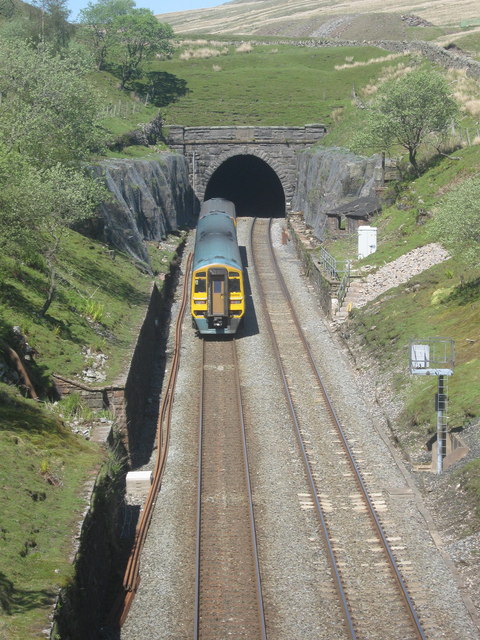
Blea Moor Tunnel

Blea Moor Tunnel is a 2,629 yards (1.494 mi)(2,404 m) railway tunnel located between Ribblehead Viaduct and Dent railway station in England. It is the...

Dent Head Viaduct

Dent Head Viaduct is a railway viaduct on the Settle–Carlisle line in Dentdale, Cumbria, England. It is the second major viaduct on the line northwards...

Ribblehead railway station

Ribblehead is a railway station on the Settle and Carlisle Line, which runs between Carlisle and Leeds via Settle. The station, situated 52 miles 17 chains...

Ribblehead Quarry

Ribblehead Quarry is a former limestone quarry next to Ribblehead railway station in the Yorkshire Dales National Park, North Yorkshire, England. It had...

Ribblehead Viaduct

The Ribblehead Viaduct or Batty Moss Viaduct carries the Settle–Carlisle railway across Batty Moss in the Ribble Valley at Ribblehead, in North Yorkshire...

Nearby Amenities

Located within 500m of 54.226311,-2.3214148
Hazard Forward: sheep
Lat/Long: 54.2272474/-2.3228123
Barrier: cattle_grid
Lat/Long: 54.2253079/-2.3250846
Entrance: yes
Lat/Long: 54.227233/-2.3282713
HE Ref: 1289368
Heritage: 2
Heritage Operator: Historic England
Historic: milestone
Listed Status: Grade II
Wikidata: Q26892881
Lat/Long: 54.228986/-2.3204112
The data included in this document is from www.openstreetmap.org. The data is made available under ODbL.

Have you been to Burned Hill?

Leave your review of Burned Hill below (or comments, questions and feedback).