Jordan Green

Settlement in Norfolk Broadland

England

Jordan Green

Station Entrance On the heritage Whitwell & Reepham Railway
Station Entrance Credit: Kevin Waterhouse

The requested URL returned error: 429 Too Many Requests

If you have any feedback on the listing, please let us know in the comments section below.
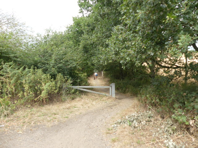
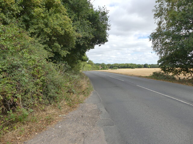
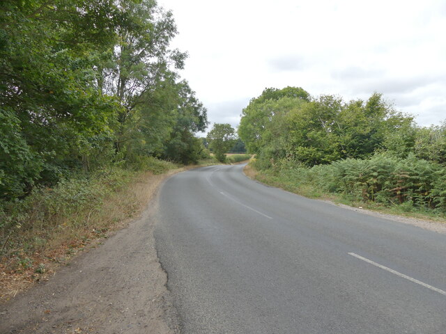
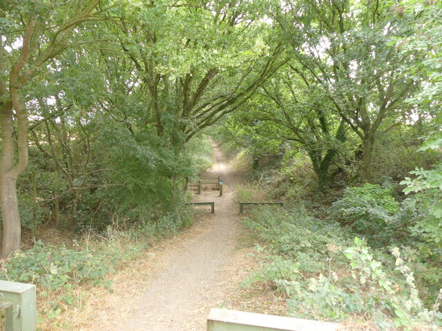
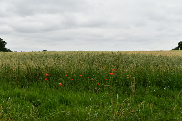
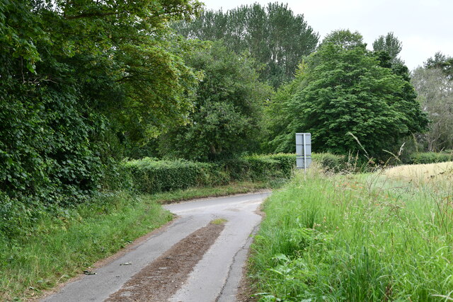
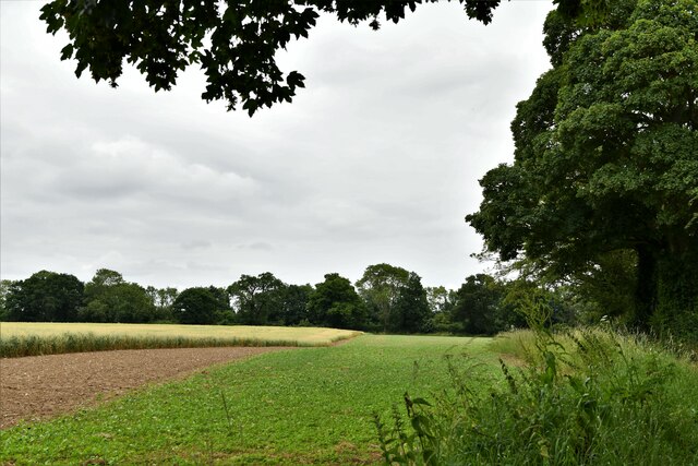
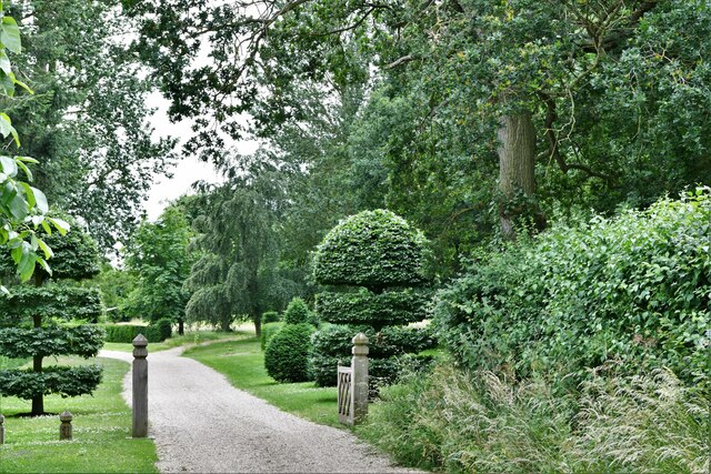
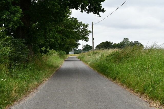
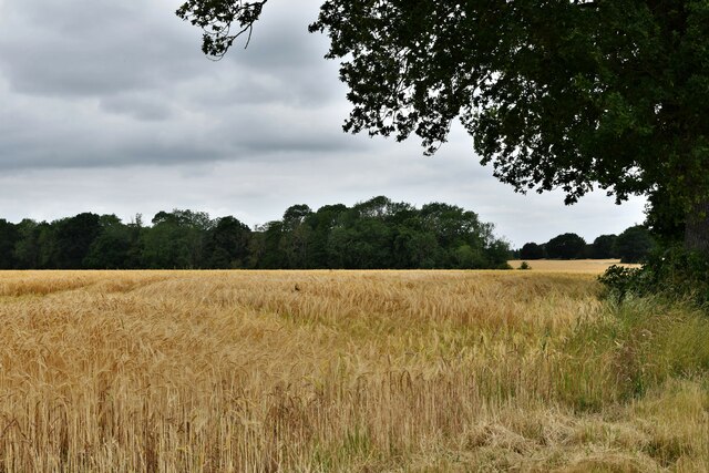
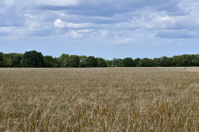
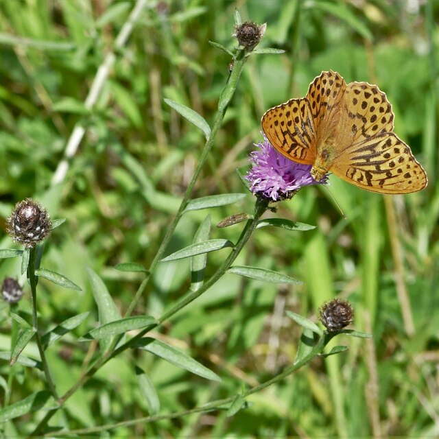
Jordan Green Images

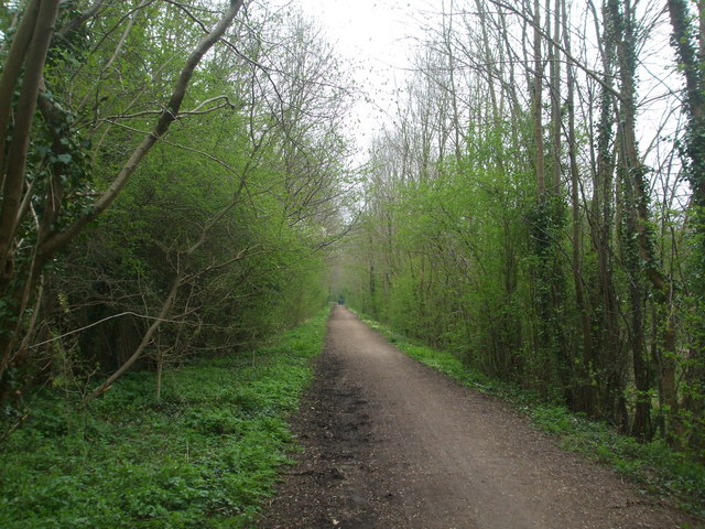
Images are sourced within 2km of 52.751092/1.068 or Grid Reference TG0721. Thanks to Geograph Open Source API. All images are credited.

Station Entrance On the heritage Whitwell & Reepham Railway
Station Entrance
On the heritage Whitwell & Reepham Railway
Westerly view of Marriott's Way from B1145 <span class="nowrap"><a title="https://en.wikipedia.org/wiki/Marriott%27s_Way" rel="nofollow ugc noopener" href="https://en.wikipedia.org/wiki/Marriott%27s_Way">Link</a><img style="margin-left:2px;" alt="External link" title="External link - shift click to open in new window" src="https://s1.geograph.org.uk/img/external.png" width="10" height="10"/></span>
Westerly view of Marriott's Way from B1145
Nearing Reepham on B1145 <span class="nowrap"><a title="https://en.wikipedia.org/wiki/B1145_road" rel="nofollow ugc noopener" href="https://en.wikipedia.org/wiki/B1145_road">Link</a><img style="margin-left:2px;" alt="External link" title="External link - shift click to open in new window" src="https://s1.geograph.org.uk/img/external.png" width="10" height="10"/></span>
Nearing Reepham on B1145
B1145 in Bawdeswell direction
Marriott's Way looking east from B1145
Kerdiston: Oat crop
Kerdiston: Oat crop
Kerdiston: Where Brick Kiln Lane joins Reepham Road
Kerdiston: Crops
Kerdiston: Crops
Kerdiston: Drive to Old Oaks Hall
Kerdiston: Reepham Road
Kerdiston: Barley crop
Reepham: Collecting the baled straw from a harvested cereal crop
Reepham: Harvested cereal crop
Foxley Wood National Nature Reserve: Silver-washed fritillary 'Argynnis paphia'
Foxley Wood National Nature Reserve: Essex skipper 'Thymelicus lineola'
Foxley Wood National Nature Reserve: Peacock 'Inachis io'
Show me another place!

Jordan Green is located at Grid Ref: TG0721 (Lat: 52.751092, Lng: 1.068)

Administrative County: Norfolk

District: Broadland

Police Authority: Norfolk

What 3 Words

///exulted.serves.truckload. Near Reepham, Norfolk

Nearby Locations

Jordan Green Jordans Wood

Related Wikis

Whitwell Common SSSI

Whitwell Common is a 19.4-hectare (48-acre) biological Site of Special Scientific Interest north-east of Dereham in Norfolk.This common in the valley...

Sparham

Sparham is a village and civil parish in Norfolk, England. It covers an area of 7.22 km2 (2.79 sq mi) and had a population of 291 in 109 households at...

Foxley Wood

Foxley Wood is a nature reserve in Foxley, Norfolk, England, the largest ancient woodland and coppice in Norfolk. The Norfolk Wildlife Trust, which manages...

Pettywell

Pettywell is a hamlet within the a civil parish of Reepham in the English county of Norfolk. The hamlet is 8.3 miles (13.4 km) west south west of Aylsham...

Nearby Amenities

Located within 500m of 52.751092,1.068
Line Management: transition
Power: pole
Transformer: distribution
Lat/Long: 52.754557/1.0639257
The data included in this document is from www.openstreetmap.org. The data is made available under ODbL.

Have you been to Jordan Green?

Leave your review of Jordan Green below (or comments, questions and feedback).