Bareless
Settlement in Northumberland
England
Bareless
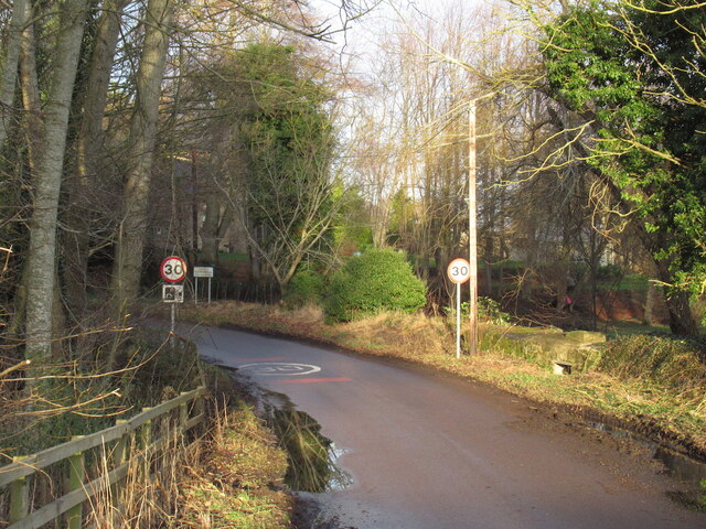
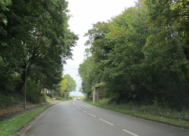
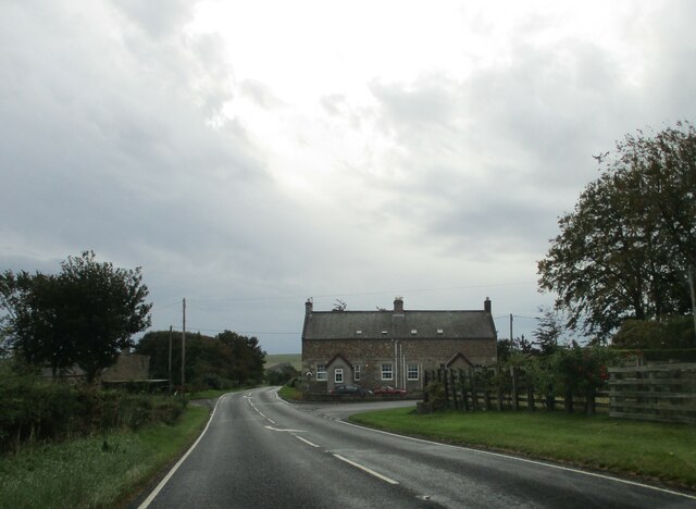
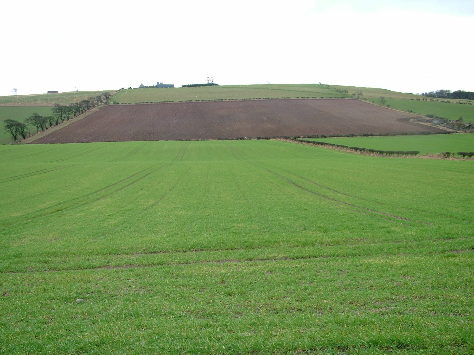
Bareless is a small village located in the county of Northumberland, in the northeastern region of England. Situated on the outskirts of the North Pennines Area of Outstanding Natural Beauty, the village is surrounded by stunning landscapes and picturesque scenery.
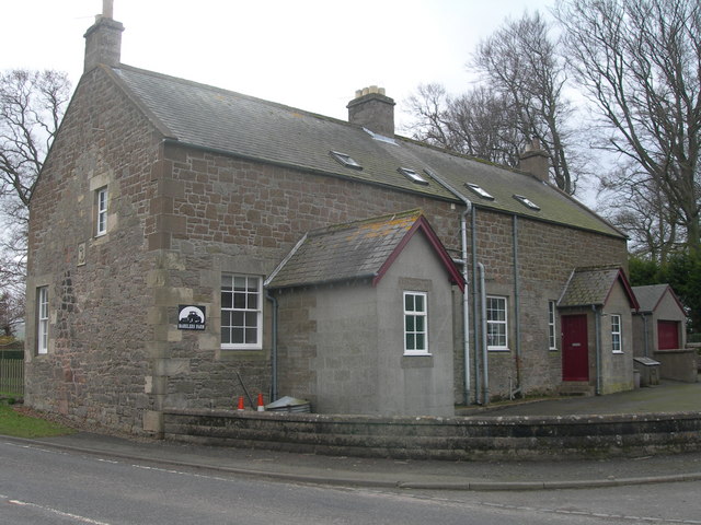
With a population of around 200 residents, Bareless is a close-knit community that offers a peaceful and tranquil atmosphere. The village is characterized by its traditional stone-built houses and charming cottages, which add to its rural charm. The local economy primarily relies on agriculture, with farming and livestock rearing being the main occupations of the villagers.
Despite its small size, Bareless boasts a few essential amenities. These include a local pub, which serves as a social hub for the community, and a village hall that hosts various events and gatherings throughout the year. The village also has a primary school, providing education for the local children.
Nature lovers will find plenty to explore in and around Bareless. The surrounding countryside offers a multitude of walking and hiking trails, allowing visitors to immerse themselves in the breathtaking beauty of the area. The nearby North Pennines also offer opportunities for outdoor activities such as cycling, birdwatching, and fishing.
Overall, Bareless is a charming village that offers a peaceful retreat from the hustle and bustle of urban life. With its stunning natural surroundings and close-knit community, it provides a perfect escape for those seeking tranquility and a connection with nature.
If you have any feedback on the listing, please let us know in the comments section below.
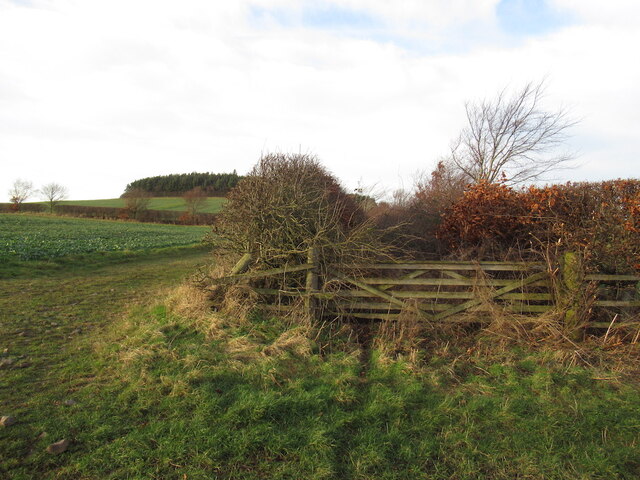
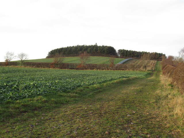
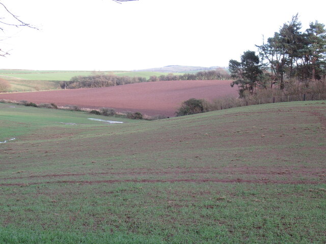
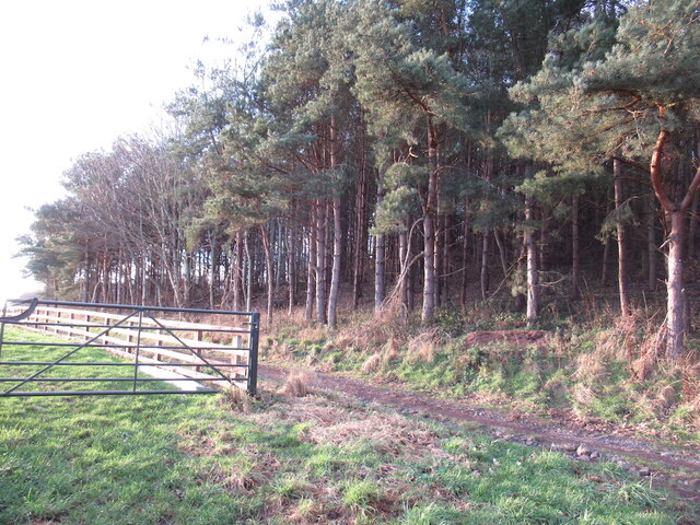
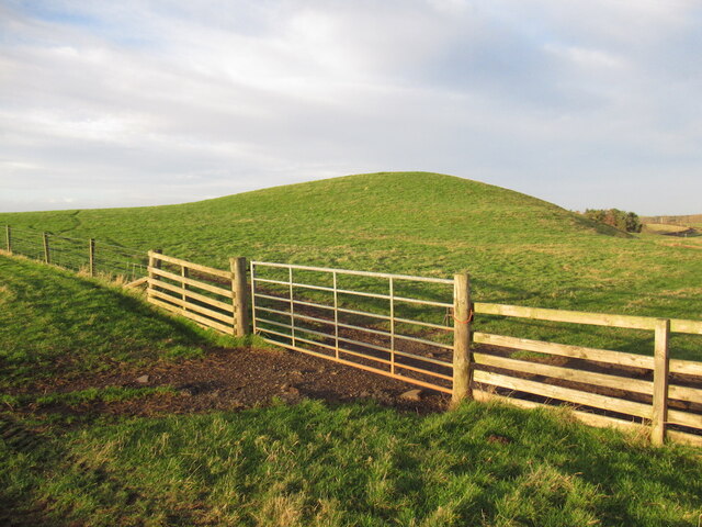
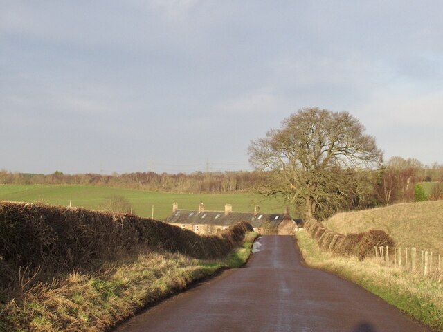
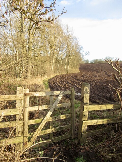
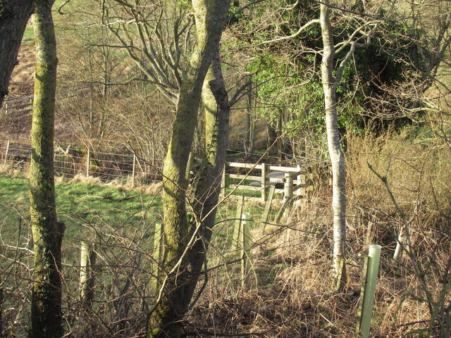
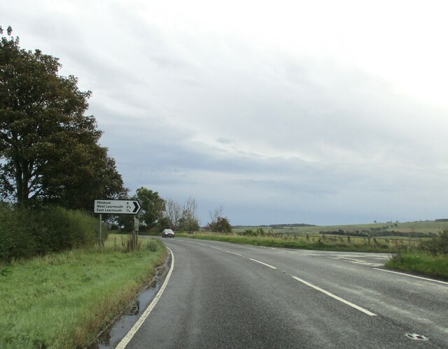
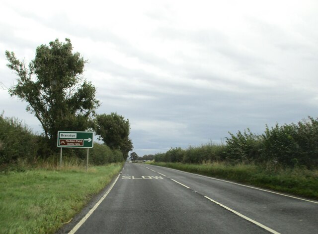
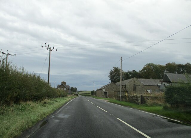
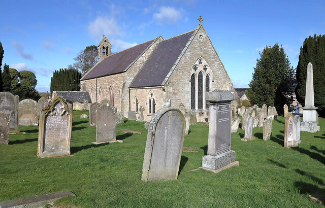
Bareless Images
Images are sourced within 2km of 55.635384/-2.2080568 or Grid Reference NT8738. Thanks to Geograph Open Source API. All images are credited.
Bareless is located at Grid Ref: NT8738 (Lat: 55.635384, Lng: -2.2080568)
Unitary Authority: Northumberland
Police Authority: Northumbria
What 3 Words
///revives.entrusted.corporate. Near Coldstream, Scottish Borders
Nearby Locations
Related Wikis

Barelees Pond
Barelees Pond is the name given to a Site of Special Scientific Interest (SSSI) in north Northumberland, England. The site is a kettle hole, a deep pond...
Bareless
Bareless is a village in Northumberland, England. == Governance == Bareless is in the parliamentary constituency of Berwick-upon-Tweed. == References ==
Campfield Kettle Hole
Campfield Kettle Hole is the name given to a Site of Special Scientific Interest (SSSI) in north Northumberland, England. The site is thought to be the...
Cornhill-on-Tweed
Cornhill-on-Tweed is a small village and civil parish in Northumberland, England about 1 mile (1.6 km) to the east of Coldstream, Scotland. The hamlets...
Coldstream railway station
Coldstream railway station served the town of Coldstream in Berwickshire, Scotland although the station was across the River Tweed in Northumberland, England...

Battle of Flodden
The Battle of Flodden, Flodden Field, or occasionally Branxton or Brainston Moor was a battle that was fought on 9 September 1513 during the War of the...
Branxton, Northumberland
Branxton is a village and civil parish in northern Northumberland, England. It lies about 3 miles (5 km) from the England-Scotland border and about 4 miles...

Pallinsburn House
Pallinsburn House is an 18th-century country house situated at Ford, Northumberland. It is a Grade II* listed building. The house was built about 1763...
Nearby Amenities
Located within 500m of 55.635384,-2.2080568Have you been to Bareless?
Leave your review of Bareless below (or comments, questions and feedback).