Joppa

Settlement in Ayrshire

Scotland

Joppa

Entering Coylton Coylton is a small village which straddles the A70.
Entering Coylton Credit: Malcolm Neal

The requested URL returned error: 429 Too Many Requests

If you have any feedback on the listing, please let us know in the comments section below.
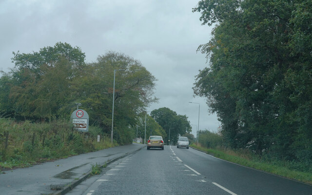
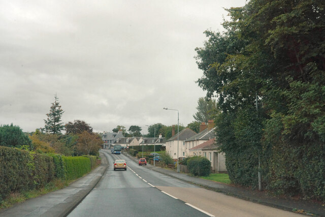
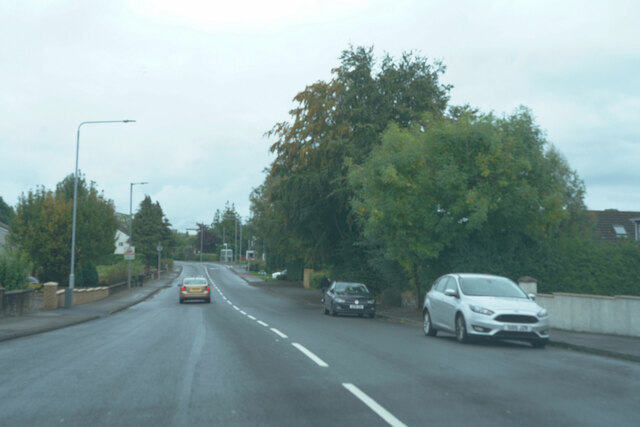
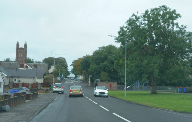
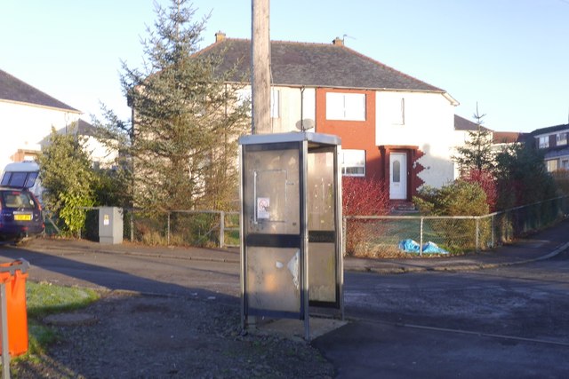
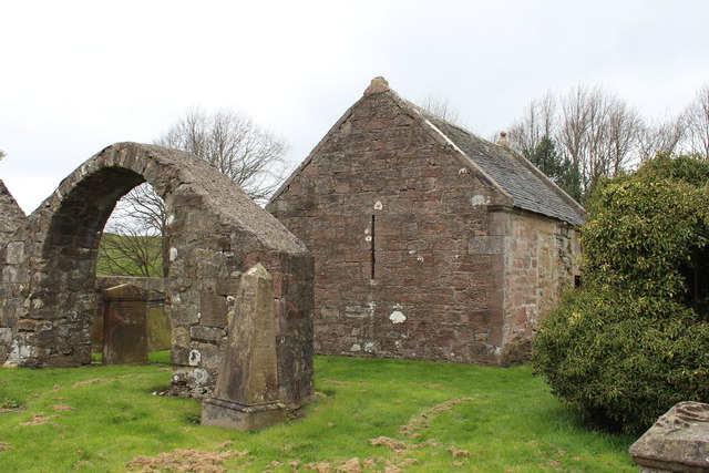
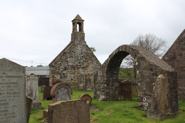
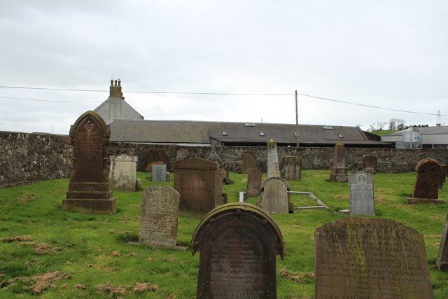
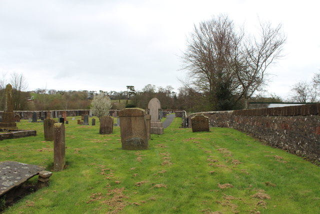
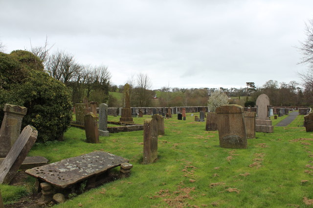
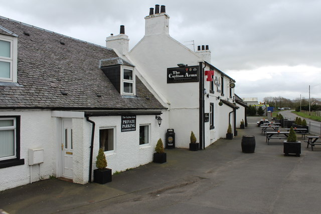
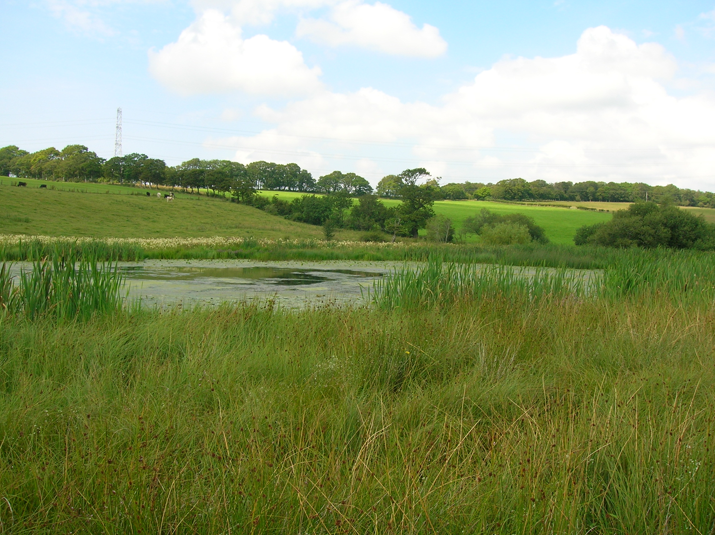
Joppa Images

Images are sourced within 2km of 55.445064/-4.5176495 or Grid Reference NS4019. Thanks to Geograph Open Source API. All images are credited.

Entering Coylton Coylton is a small village which straddles the A70.
Entering Coylton
Coylton is a small village which straddles the A70.
The village of Coylton Coylton appears to have fairly modern housing stock next to the A70.
The village of Coylton
Coylton appears to have fairly modern housing stock next to the A70.
The A70 This is the end of the village of Coylton as we pass through on the A70.
The A70
This is the end of the village of Coylton as we pass through on the A70.
Still in Coylton There was a little gap with no houses but this still is part of Coylton as the tower visible on the left belongs to Coylton Parish Church.
Still in Coylton
There was a little gap with no houses but this still is part of Coylton as the tower visible on the left belongs to Coylton Parish Church.
Ancient Earthwork Near Coylton The earthwork shown on the map is hidden by the group of trees.
Ancient Earthwork Near Coylton
The earthwork shown on the map is hidden by the group of trees.
Ordnance Survey Flush Bracket G594 This can be found on the wall of Coylton Parish Church.
For more detail see : <span class="nowrap"><a title="http://www.bench-marks.org.uk/bm331" rel="nofollow ugc noopener" href="http://www.bench-marks.org.uk/bm331">Link</a><img style="margin-left:2px;" alt="External link" title="External link - shift click to open in new window" src="https://s1.geograph.org.uk/img/external.png" width="10" height="10"/></span>
Ordnance Survey Flush Bracket G594
This can be found on the wall of Coylton Parish Church. For more detail see : LinkExternal link
Coylton Parish Church Viewed from the south.
Coylton Parish Church
Viewed from the south.
Ordnance Survey Flush Bracket G4503 This can be found on the wall of a building at Holebogs (now Woodside Farm B&B).
For more detail see : <span class="nowrap"><a title="http://www.bench-marks.org.uk/bm17125" rel="nofollow ugc noopener" href="http://www.bench-marks.org.uk/bm17125">Link</a><img style="margin-left:2px;" alt="External link" title="External link - shift click to open in new window" src="https://s1.geograph.org.uk/img/external.png" width="10" height="10"/></span>
Ordnance Survey Flush Bracket G4503
This can be found on the wall of a building at Holebogs (now Woodside Farm B&B). For more detail see : LinkExternal link
Road at its junction with a track to Tobergill Looking southward.
Road at its junction with a track to Tobergill
Looking southward.
Remains of Church at Low Coylton Looking north-westward.
Remains of Church at Low Coylton
Looking north-westward.
Telephone box, Colyton On Arthurston Terrace beside the A70.
Telephone box, Colyton
On Arthurston Terrace beside the A70.
Bus on Ayr Road, Coylton Ayr bound bus on the A70.
Bus on Ayr Road, Coylton
Ayr bound bus on the A70.
Old Parish Church and Graveyard, Low Coylton
Old Parish Church Graveyard, Low Coylton
The Coylton Arms
The Coylton Arms
Show me another place!

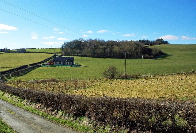
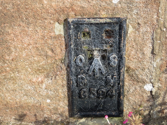
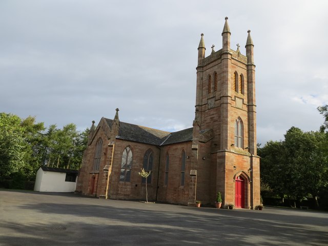
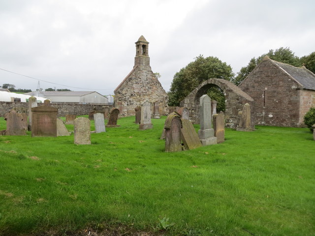
Joppa is located at Grid Ref: NS4019 (Lat: 55.445064, Lng: -4.5176495)

Unitary Authority: South Ayrshire

Police Authority: Ayrshire

What 3 Words

///stumble.presume.presenter. Near Coylton, South Ayrshire

Nearby Locations

Joppa

Related Wikis

Coylton

Coylton (Scots: Culton) is a village and civil parish in South Ayrshire, Scotland. It is five miles (eight kilometres) east of Ayr and 2+1⁄2 miles (4 kilometres...

Joppa, South Ayrshire

Joppa is a former hamlet in South Ayrshire, Scotland, about one mile (1.5 kilometres) which now forms the eastern portion of the built-up part of Coylton...

Lochend Loch (Coylton)

Lochend Loch, which once had nearly three acres in surface area is now only a small freshwater loch remnant. It lies in the South Ayrshire Council Area...

Sundrum Castle

Sundrum Castle is a Scottish medieval castle located 1.5 kilometres (0.93 mi) north of Coylton, South Ayrshire, by the Water of Coyle river. It was built...

Nearby Amenities

Located within 500m of 55.445064,-4.5176495
Coylton
Is In: Ayrshire
Name En: Coylton
Name Gd: Baile Chuil
Name Sco: Kyletoun
Place: village
Wikidata: Q1011801
Wikipedia: en:Coylton
Lat/Long: 55.4452047/-4.5173594
Stobbs The Baker
Shop: bakery
Lat/Long: 55.4463528/-4.5203588
Fast Food
The Coylton Fish And Chips
Cuisine: fish_and_chips
Lat/Long: 55.4464502/-4.5207299
Spar
Brand: Spar
Brand Wikidata: Q610492
Brand Wikipedia: en:SPAR (retailer)
Shop: convenience
Website: https://www.spar.co.uk/store-locator/lan45470-spar-coylton/
Lat/Long: 55.4464015/-4.5205646
Old Name: Coral
Shop: yes
Lat/Long: 55.4463796/-4.5204716
Atm
Lat/Long: 55.4463845/-4.5206814
Generator Method: photovoltaic
Generator Output Electricity: yes
Generator Source: solar
Generator Type: solar_photovoltaic_panel
Power: generator
Lat/Long: 55.4465175/-4.5170164
Generator Method: photovoltaic
Generator Output Electricity: yes
Generator Source: solar
Generator Type: solar_photovoltaic_panel
Power: generator
Lat/Long: 55.4473631/-4.5162445
Generator Method: photovoltaic
Generator Output Electricity: yes
Generator Source: solar
Generator Type: solar_photovoltaic_panel
Power: generator
Lat/Long: 55.4458546/-4.5178376
Generator Method: photovoltaic
Generator Output Electricity: yes
Generator Source: solar
Generator Type: solar_photovoltaic_panel
Power: generator
Lat/Long: 55.446064/-4.5194681
Generator Method: photovoltaic
Generator Output Electricity: yes
Generator Source: solar
Generator Type: solar_photovoltaic_panel
Power: generator
Lat/Long: 55.4470608/-4.5202196
Generator Method: photovoltaic
Generator Output Electricity: yes
Generator Source: solar
Generator Type: solar_photovoltaic_panel
Power: generator
Lat/Long: 55.4471386/-4.5200029
Generator Method: photovoltaic
Generator Output Electricity: yes
Generator Source: solar
Generator Type: solar_photovoltaic_panel
Power: generator
Lat/Long: 55.4440867/-4.5184501
Generator Method: photovoltaic
Generator Output Electricity: yes
Generator Source: solar
Generator Type: solar_photovoltaic_panel
Power: generator
Lat/Long: 55.4429277/-4.5176899
Generator Method: photovoltaic
Generator Output Electricity: yes
Generator Source: solar
Generator Type: solar_photovoltaic_panel
Power: generator
Lat/Long: 55.4420914/-4.5175461
Generator Method: photovoltaic
Generator Output Electricity: yes
Generator Source: solar
Generator Type: solar_photovoltaic_panel
Power: generator
Lat/Long: 55.4425273/-4.5144025
Generator Method: photovoltaic
Generator Output Electricity: yes
Generator Source: solar
Generator Type: solar_photovoltaic_panel
Power: generator
Lat/Long: 55.4421373/-4.5138358
Generator Method: photovoltaic
Generator Output Electricity: yes
Generator Source: solar
Generator Type: solar_photovoltaic_panel
Power: generator
Lat/Long: 55.4488054/-4.5176527
Generator Method: photovoltaic
Generator Output Electricity: yes
Generator Source: solar
Generator Type: solar_photovoltaic_panel
Power: generator
Lat/Long: 55.4477247/-4.5190218
The data included in this document is from www.openstreetmap.org. The data is made available under ODbL.

Have you been to Joppa?

Leave your review of Joppa below (or comments, questions and feedback).