Cross Hill

Hill, Mountain in Yorkshire Ribble Valley

England

Cross Hill

Terraced cottages in Bolton-by-Bowland
Terraced cottages in Bolton-by-Bowland Credit: Oliver Dixon

Cross Hill is a prominent hill located in the picturesque county of Yorkshire, England. Standing at an elevation of 402 meters (1,319 feet), it is considered one of the highest peaks in the region. Situated within the North York Moors National Park, Cross Hill offers breathtaking panoramic views of the surrounding countryside.

The hill is characterized by its distinctive shape, resembling a cross when viewed from certain angles, which is believed to have influenced its name. It is a popular destination for hikers, nature enthusiasts, and photographers, thanks to its accessibility and stunning vistas.

The landscape surrounding Cross Hill is a mix of rolling hills, lush meadows, and dense woodlands, providing a diverse habitat for a wide range of wildlife. Visitors to the area may spot various species of birds, including curlews and lapwings, as well as mammals such as hares and roe deer.

Cross Hill is also rich in historical significance. It is home to several ancient burial mounds and prehistoric remains, indicating human activity in the area dating back thousands of years. Additionally, the hill has played a role in local folklore and legends, adding an extra layer of intrigue to its allure.

Access to Cross Hill is relatively straightforward, with various footpaths and trails leading to its summit. The hill's location within the national park ensures that it is well-maintained and easily accessible to visitors of all ages and fitness levels.

In conclusion, Cross Hill in Yorkshire is a stunning natural landmark that offers visitors a chance to immerse themselves in the beauty of the North York Moors. Its commanding height, captivating views, and historical significance make it a must-visit destination for anyone exploring the region.

If you have any feedback on the listing, please let us know in the comments section below.
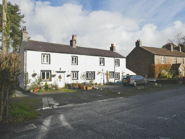
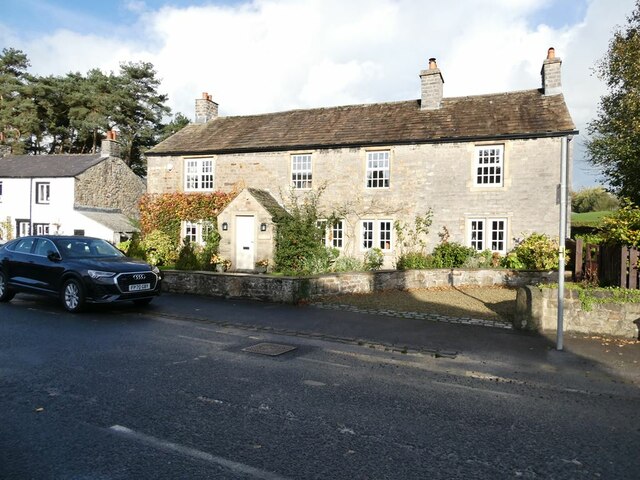
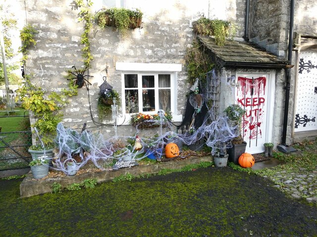
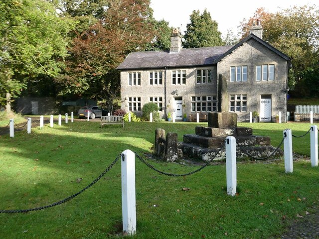
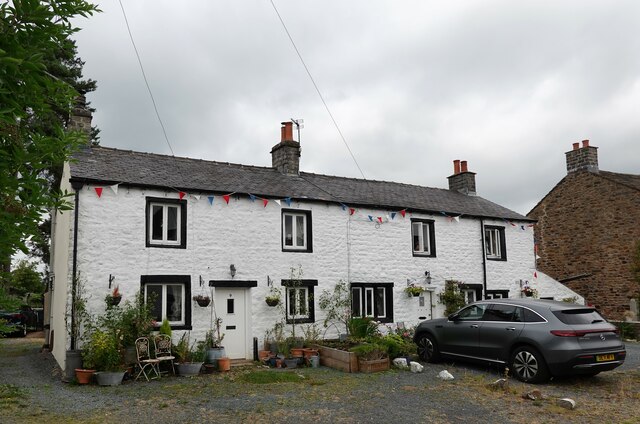
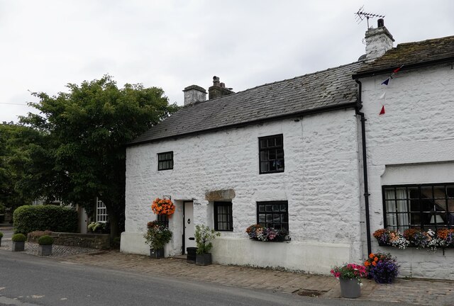
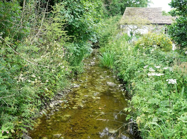
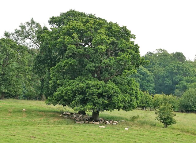
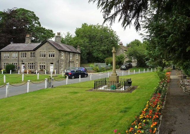
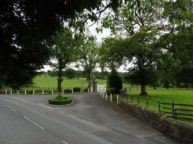
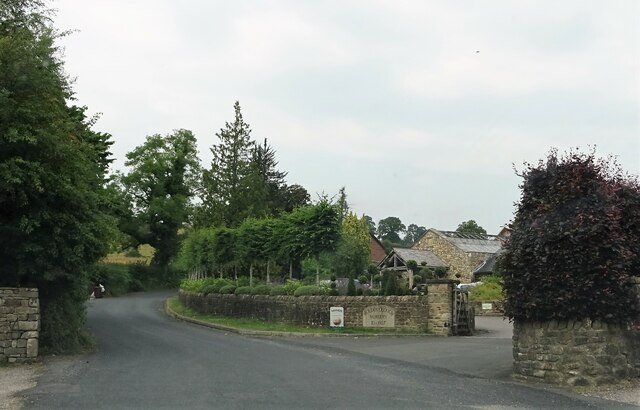
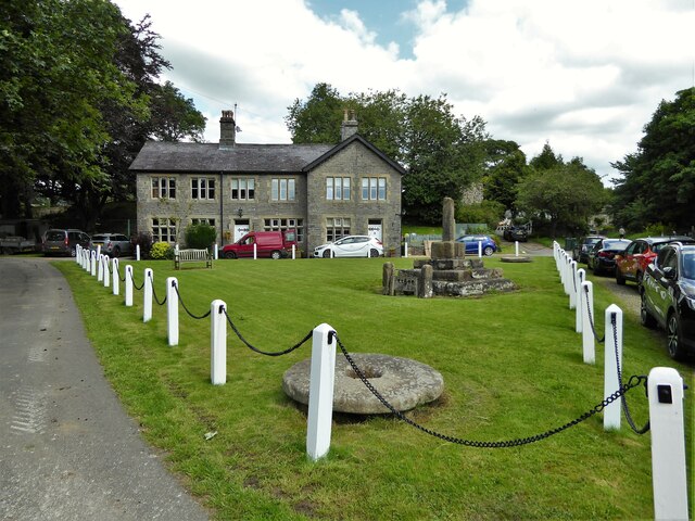
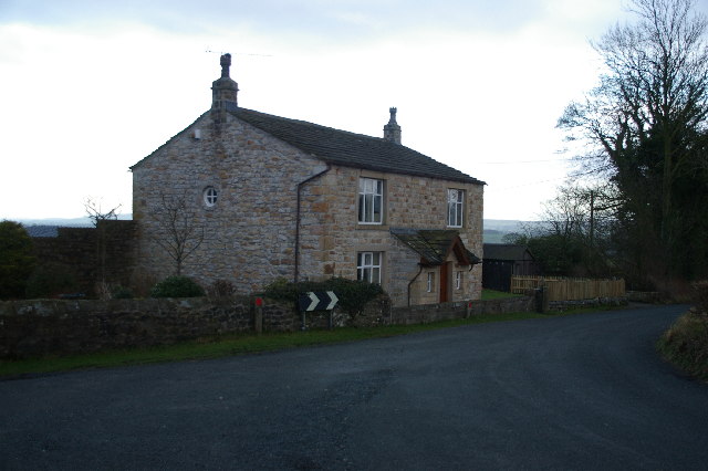
Cross Hill Images

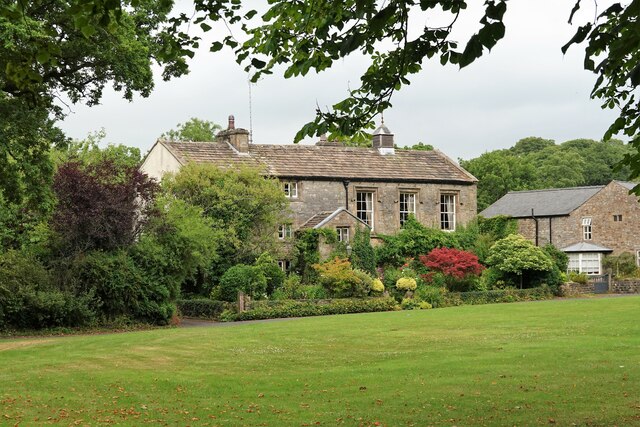
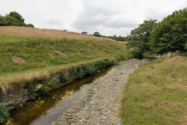
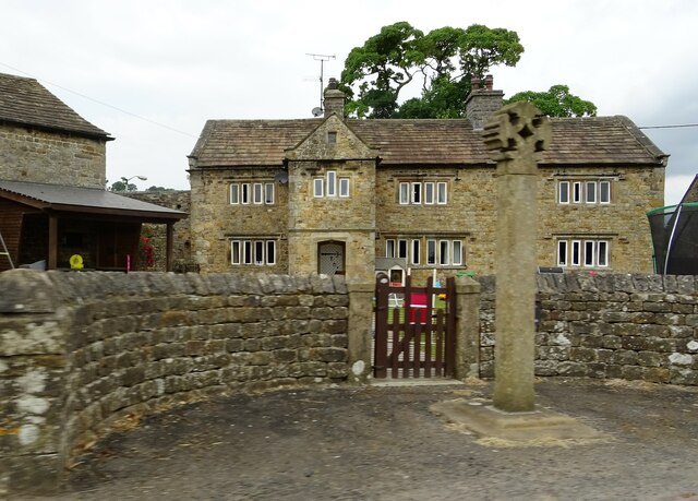
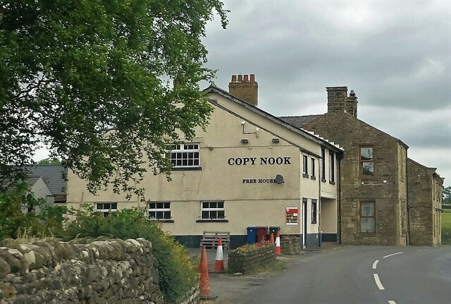
Images are sourced within 2km of 53.941555/-2.3258165 or Grid Reference SD7849. Thanks to Geograph Open Source API. All images are credited.

Terraced cottages in Bolton-by-Bowland
Cottage in Bolton-by-Bowland
Hallowe'en in Bolton-by-Bowland The Hallowe'en decorations seem to become more extreme year on year.
Hallowe'en in Bolton-by-Bowland
The Hallowe'en decorations seem to become more extreme year on year.
Village Green, Bolton-by-Bowland Grade II listed cross.
Village Green, Bolton-by-Bowland
Grade II listed cross.
Main Street, Bolton-by-Bowland Main Street is almost the only street in this pleasant village in the Forest of Bowland.
Main Street, Bolton-by-Bowland
Main Street is almost the only street in this pleasant village in the Forest of Bowland.
Cottages in Bolton-by-Bowland These cottages on Main Street are grade II listed.
Cottages in Bolton-by-Bowland
These cottages on Main Street are grade II listed.
White Cottage A grade II listed house on Main Street.
White Cottage
A grade II listed house on Main Street.
Kirk Beck The water level is low after a dry spell.
Kirk Beck
The water level is low after a dry spell.
Sheep in the shade On a warm day.
Sheep in the shade
On a warm day.
The Old Courthouse The building dates from 1859 (with some earlier remains) and is grade II listed.
The Old Courthouse
The building dates from 1859 (with some earlier remains) and is grade II listed.
Skirden Beck On the edge of Bolton-by Bowland. After a drier than usual few weeks the water level is quite low.
Skirden Beck
On the edge of Bolton-by Bowland. After a drier than usual few weeks the water level is quite low.
Bolton Peel farmhouse and cross The base of the cross is probably medieval whereas the cross is an early C20th replacement. A grade II listed structure. The farmhouse is C17 and is grade II* listed.
Bolton Peel farmhouse and cross
The base of the cross is probably medieval whereas the cross is an early C20th replacement. A grade II listed structure. The farmhouse is C17 and is grade II* listed.
The Copy Nook A pub near Holden.
The Copy Nook
A pub near Holden.
War Memorial At Bolton-by-Bowland.
War Memorial
At Bolton-by-Bowland.
Entrance to King Henry Mews A private road leading to a residential development on the site of Bolton Hall.
Entrance to King Henry Mews
A private road leading to a residential development on the site of Bolton Hall.
Nursery entrance Holden Clough Nursery was established in 1927.
Nursery entrance
Holden Clough Nursery was established in 1927.
Village Green With stocks, cross and mill-stones
Village Green
With stocks, cross and mill-stones
Show me another place!

Cross Hill is located at Grid Ref: SD7849 (Lat: 53.941555, Lng: -2.3258165)

Division: West Riding

Administrative County: Lancashire

District: Ribble Valley

Police Authority: Lancashire

What 3 Words

///smashes.signs.nuggets. Near Chatburn, Lancashire

Related Wikis

St Peter and St Paul's Church, Bolton-by-Bowland

St Peter and St Paul's Church is in Gisburn Road, Bolton-by-Bowland, Lancashire, England. It is an active Anglican parish church in the deanery of Whalley...

Bolton-by-Bowland

Bolton-by-Bowland is a village and civil parish in the Ribble Valley district of Lancashire, England. Before 1974, the village was part of Bowland Rural...

Skirden Beck

Skirden Beck is a minor river in Lancashire, England (historically in the West Riding of Yorkshire). It is approximately 4.3 miles (6.85 km) long and has...

Sawley, Lancashire

Sawley is a village and civil parish in the Borough of Ribble Valley in Lancashire, England. The population of the civil parish was 305 at the 2001 Census...

Nearby Amenities

Located within 500m of 53.941555,-2.3258165
Recycling
Lat/Long: 53.9396747/-2.3305222
Post Office
Bolton By Bowland Post Office
Addr City: Clitheroe
Addr Postcode: BB7 4NW
Brand: Post Office
Brand Wikidata: Q1783168
Ref Pol Id: 95168
Source: OS_opendata_streetview
Lat/Long: 53.9396099/-2.3287807
Barrier: stile
Material: stone
Stile: stepover
Lat/Long: 53.9395771/-2.3310306
Cafe
Lat/Long: 53.9397689/-2.3300445
Historic: market_cross
Lat/Long: 53.9403205/-2.3283035
Barrier: kissing_gate
Source: survey;gps
Lat/Long: 53.9393364/-2.3201574
Description: WW1 memorial
Historic: memorial
Memorial: war_memorial
Lat/Long: 53.940235/-2.3280324
Power: pole
Source: Bing
Lat/Long: 53.9407109/-2.3296194
Power: pole
Source: Bing
Lat/Long: 53.9409564/-2.3333332
Power: pole
Source: Bing
Lat/Long: 53.9408372/-2.33147
Power: pole
Source: Bing
Lat/Long: 53.9406587/-2.3288924
Power: pole
Source: Bing
Lat/Long: 53.9407866/-2.330668
Power: pole
Lat/Long: 53.9415539/-2.3329639
Power: pole
Lat/Long: 53.9419975/-2.3319206
Power: pole
Lat/Long: 53.9422864/-2.3312876
Power: pole
Lat/Long: 53.9428295/-2.3300269
Power: pole
Lat/Long: 53.9432668/-2.3290238
Power: pole
Lat/Long: 53.9436741/-2.3280421
Power: pole
Lat/Long: 53.9442535/-2.3270765
Power: pole
Lat/Long: 53.9447602/-2.3261592
Power: pole
Lat/Long: 53.9458226/-2.3242468
Telephone
Booth: KX100
Covered: booth
Lat/Long: 53.9399888/-2.3289364
Charging Station
Access: customers
Authentication App: yes
Capacity: 1
Fee: yes
Motorcar: yes
Network: Charge My Street
Operator: Coach & Horses
Payment App: yes
Socket Type2: 1
Lat/Long: 53.9399161/-2.3288171
Defibrillator
Defibrillator Location: outside Bolton by Bowland Village Hall
Emergency: defibrillator
Indoor: no
Lat/Long: 53.9396665/-2.3288722
The data included in this document is from www.openstreetmap.org. The data is made available under ODbL.

Have you been to Cross Hill?

Leave your review of Cross Hill below (or comments, questions and feedback).