Butterbers
Hill, Mountain in Westmorland Eden
England
Butterbers
Butterbers is a small hill located in Westmorland, a county in the North West of England. Situated in the beautiful Lake District National Park, Butterbers is well-known for its impressive natural scenery and picturesque surroundings.
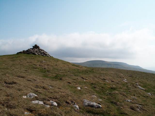
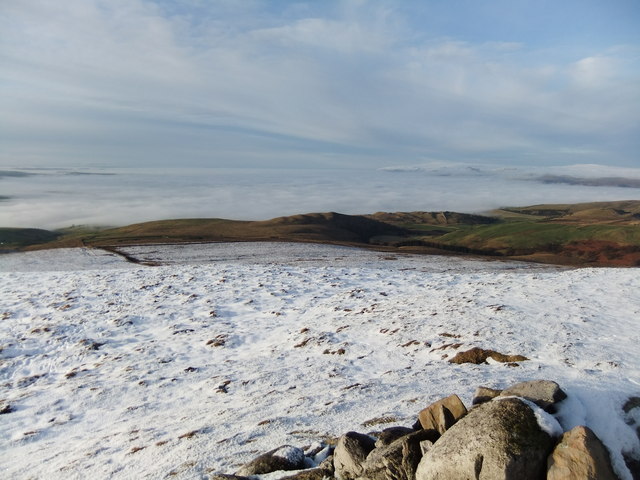
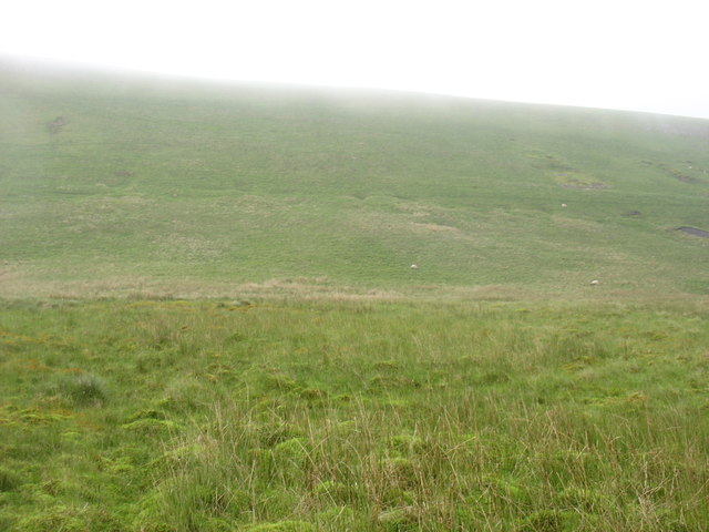
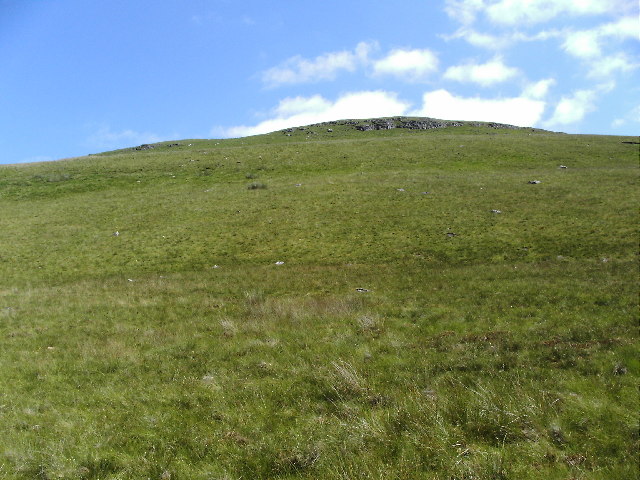
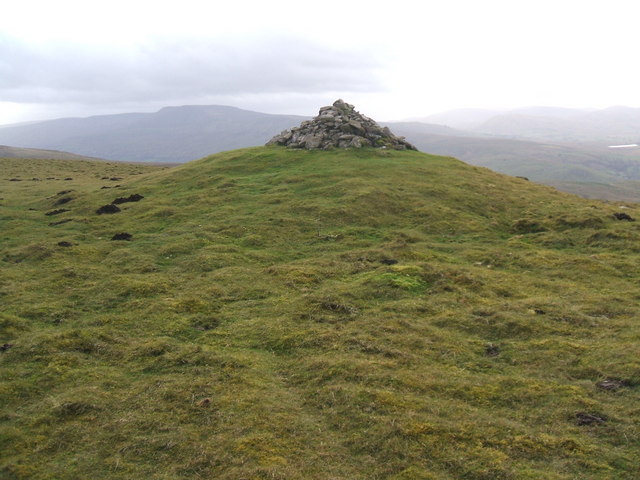
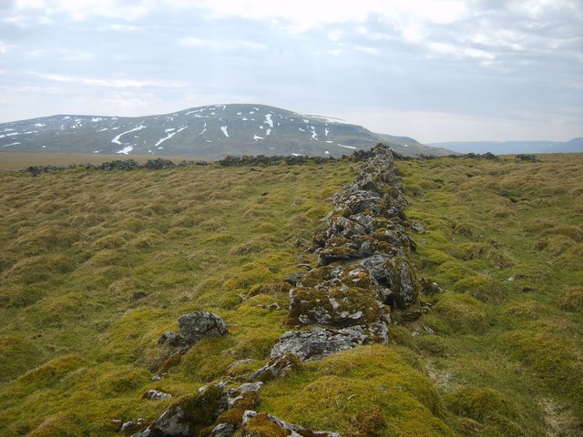
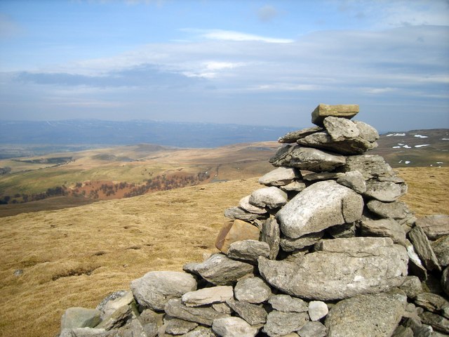
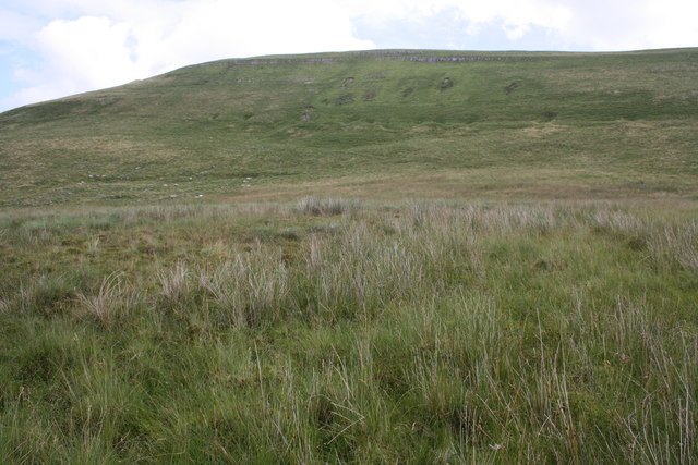
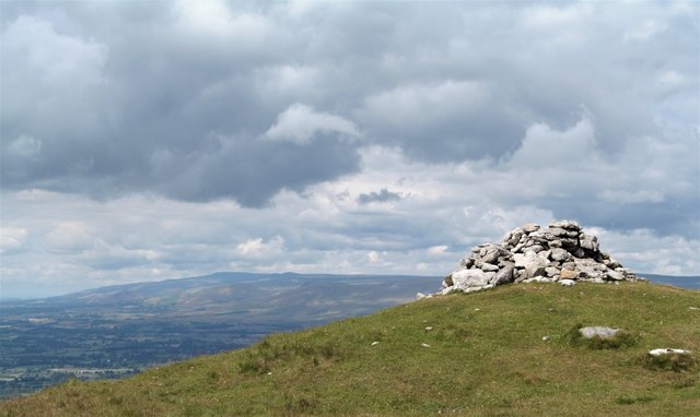
Rising to an elevation of approximately 600 meters (1,968 feet), Butterbers offers stunning panoramic views of the surrounding area. The hill is covered with lush green grass and dotted with rocky outcrops, adding to its charm and appeal. It is a popular destination for hikers, nature enthusiasts, and photographers, who are attracted by its unspoiled beauty and tranquility.
Butterbers is also home to a diverse range of flora and fauna, with a variety of plant species and wildlife inhabiting the area. Visitors may encounter native birds such as buzzards and kestrels soaring above the hill, while sheep can often be seen grazing in the surrounding fields.
There are several walking trails and footpaths that lead to the summit of Butterbers, making it accessible to both experienced hikers and casual walkers. On a clear day, the view from the top is simply breathtaking, offering glimpses of nearby lakes, rolling hills, and distant mountains.
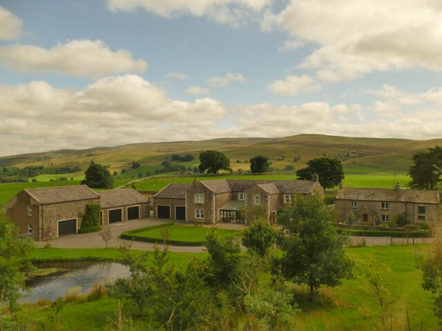
In addition to its natural attractions, Butterbers is located in close proximity to the village of Westmorland, where visitors can find amenities such as accommodation, dining options, and local shops. The hill's accessibility and its stunning vistas make it a must-visit destination for anyone exploring the Lake District National Park.
If you have any feedback on the listing, please let us know in the comments section below.
Butterbers Images
Images are sourced within 2km of 54.445639/-2.3332626 or Grid Reference NY7805. Thanks to Geograph Open Source API. All images are credited.


Butterbers is located at Grid Ref: NY7805 (Lat: 54.445639, Lng: -2.3332626)
Administrative County: Cumbria
District: Eden
Police Authority: Cumbria
What 3 Words
///caps.wisely.telephone. Near Kirkby Stephen, Cumbria
Nearby Locations
Related Wikis
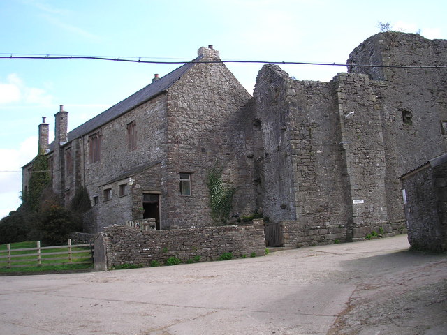
Wharton Hall
Wharton Hall in Wharton, Cumbria, England, is a medieval fortified manor house. == History == At the heart of Wharton Hall is a 15th-century hall, built...

Nateby, Cumbria
Nateby is a village and civil parish in the Eden district of Cumbria, England. The parish had a population of 110 in 2001, increasing to 120 at the 2011...
Wharton, Cumbria
Wharton is a civil parish near Kirkby Stephen in the Eden District of Cumbria, England, which, historically, was part of Westmorland. It has a population...

Devil's Grinding Mill
The Devil's Grinding Mill, sometimes known as the Devil's Hole, is part of The Angel's Drainpipe, a partially collapsed cave system on the River Eden in...

Kirkby Stephen East railway station
Kirkby Stephen East railway station was situated on the South Durham & Lancashire Union Railway (known as the Stainmore Line) between Barnard Castle and...
Kirkby Stephen railway station
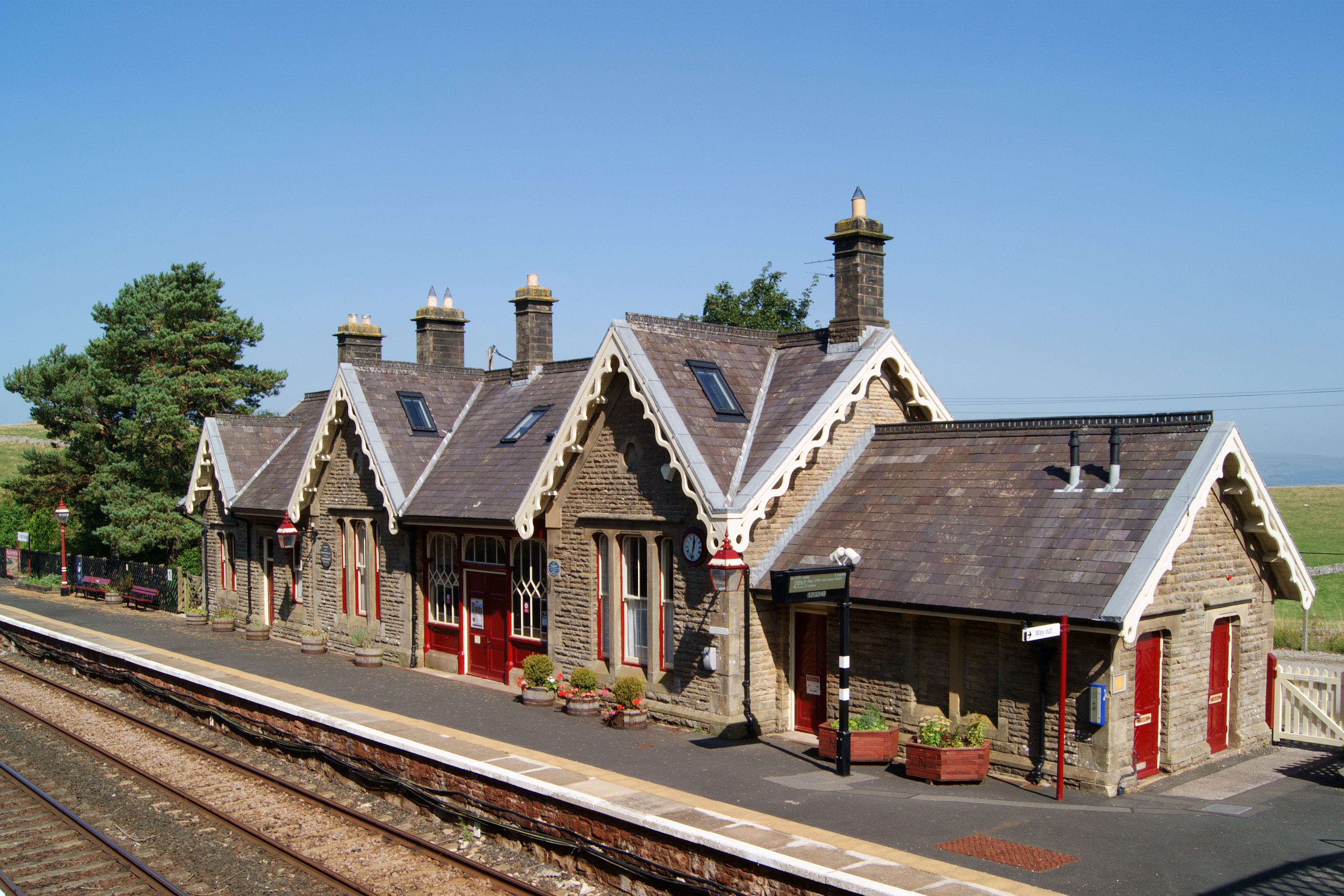
Kirkby Stephen is a railway station in Eden in Cumbria, England, on the Settle and Carlisle Line, which runs between Carlisle and Leeds via Settle. The...

Hartley Castle
Hartley Castle was a castle near Kirkby Stephen, Cumbria, England. == History == The manor was confiscated circa 1315 from Roger de Clifford and granted...
Stainmore Railway Company
Stainmore Railway Company is a volunteer-run, non-profit preservation company formed in 2000 with the aim of restoring Kirkby Stephen East railway station...
Nearby Amenities
Located within 500m of 54.445639,-2.3332626Have you been to Butterbers?
Leave your review of Butterbers below (or comments, questions and feedback).