Duns Law
Hill, Mountain in Berwickshire
Scotland
Duns Law

Duns Law, located in Berwickshire, Scotland, is a prominent hill that sits approximately 1.5 miles northeast of the town of Duns. With an elevation of 219 meters (718 feet), it offers stunning panoramic views of the surrounding countryside and is a popular destination for nature enthusiasts and hikers.
The hill is primarily composed of grassy slopes, making it accessible to walkers of all abilities. Its rounded shape and gentle incline make it a relatively easy climb, and there are several well-marked paths leading to the summit. Along the way, visitors can enjoy the picturesque landscape, including rolling farmland, woodlands, and the charming town of Duns itself.
At the top of Duns Law, there is a trig point, providing a reference point for surveying and mapping purposes. From this vantage point, visitors can take in breathtaking vistas of the Border countryside, with views stretching as far as the Cheviot Hills to the south and the Lammermuir Hills to the northwest.
Duns Law is also known for its historical significance. It was the site of an Iron Age hillfort, which was once a stronghold for the local population. Excavations have revealed evidence of ancient settlements, including stone structures and artifacts. The hill's strategic location made it an ideal defensive position, offering a commanding view of the surrounding area.
Overall, Duns Law in Berwickshire is not only a beautiful natural landmark but also a site of historical and archaeological interest, attracting both locals and tourists looking to explore the Scottish Borders region.
If you have any feedback on the listing, please let us know in the comments section below.
Duns Law Images
Images are sourced within 2km of 55.785173/-2.3448198 or Grid Reference NT7854. Thanks to Geograph Open Source API. All images are credited.


Duns Law is located at Grid Ref: NT7854 (Lat: 55.785173, Lng: -2.3448198)
Unitary Authority: The Scottish Borders
Police Authority: The Lothians and Scottish Borders
What 3 Words
///splash.reforming.before. Near Duns, Scottish Borders
Nearby Locations
Related Wikis
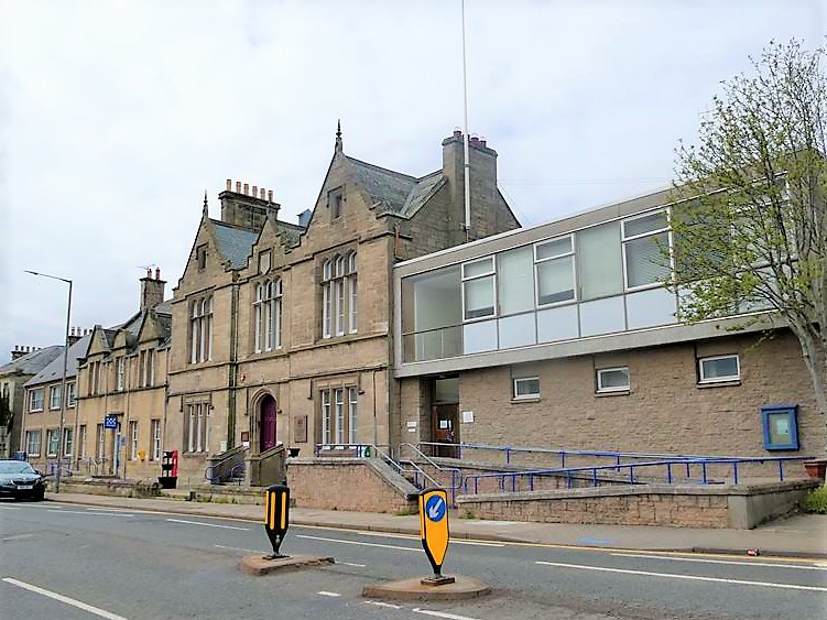
County Buildings, Duns
County Buildings is a municipal structure in Newtown Street, Duns, Scottish Borders, Scotland. The complex, which was the headquarters of Berwickshire...

Duns Castle
Duns Castle, Duns, Berwickshire is a historic house in Scotland, the oldest part of which, the massive Norman Keep or Pele Tower, supposedly dates from...
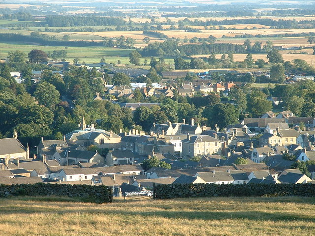
Duns, Scottish Borders
Duns is a town in the Scottish Borders, Scotland. It was the county town of the historic county of Berwickshire. == History == === Early history === Duns...

Duns Castle nature reserve
Duns Castle nature reserve is a nature reserve near Duns, in the Scottish Borders area of Scotland, in the former Berwickshire. It consists of two man...

Knoll Hospital
Knoll Hospital is a health facility at Station Road in Duns, Scotland. It is managed by NHS Borders. It is a Category B listed building. == History... ==
Borthwick Castle, Scottish Borders
Borthwick Castle, Scottish Borders was a 16th-century L-plan tower house, about 1 mile (1.6 km) north west of Duns, Scottish Borders, Scotland. == History... ==
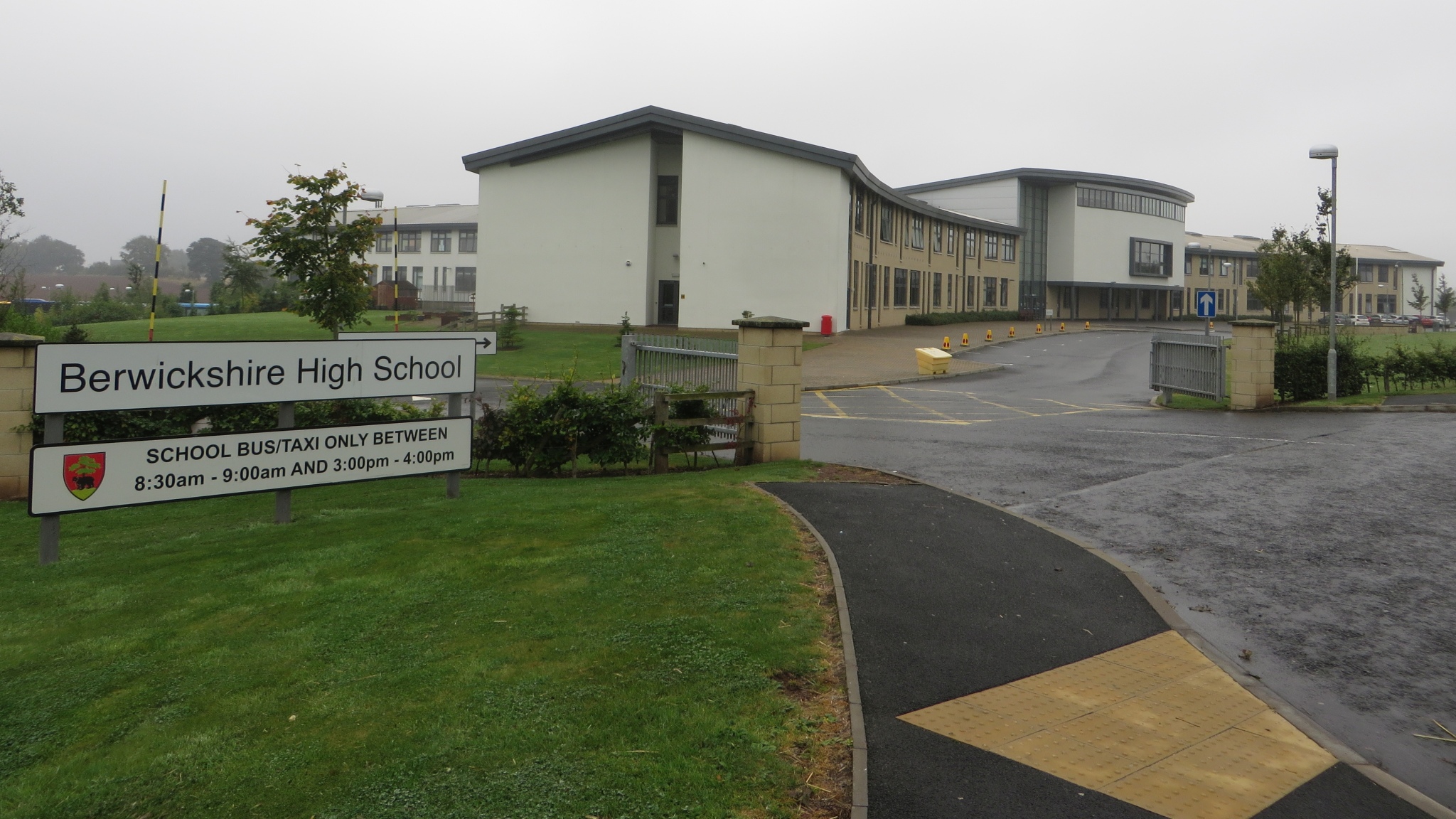
Berwickshire High School
Berwickshire High School is a six-year comprehensive school located west of Duns, Scotland. == History == It was first opened in 1896, by Walter John Mabbott...

Duns railway station
Duns railway station served the town of Duns, Scottish Borders, Scotland from 1849 to 1951 on the Berwickshire Railway. == History == The station opened...
Nearby Amenities
Located within 500m of 55.785173,-2.3448198Have you been to Duns Law?
Leave your review of Duns Law below (or comments, questions and feedback).