Feltham Hill
Hill, Mountain in Somerset Mendip
England
Feltham Hill

Feltham Hill is a prominent hill located in Somerset, England. It is situated near the village of Feltham, hence its name. Rising to an elevation of approximately 256 meters (840 feet), it is classified as a hill rather than a mountain due to its modest height.
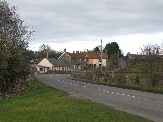
Feltham Hill boasts a picturesque landscape with stunning panoramic views of the surrounding countryside. The hill is covered in lush green grass, dotted with vibrant wildflowers during the summer months. It is a popular destination for nature enthusiasts and hikers, who can explore the diverse flora and fauna that thrive in this area.
The hill is home to a variety of wildlife, including rabbits, foxes, and various bird species. The surrounding woodlands provide a natural habitat for numerous species of trees, such as oak, beech, and maple, creating a diverse and vibrant ecosystem.
For those seeking outdoor activities, Feltham Hill offers several walking trails and pathways that wind through its slopes. These trails provide the perfect opportunity to enjoy the peaceful surroundings and breathe in the fresh country air. Additionally, the hill is a favored spot for kite flying and picnics, attracting families and groups looking for a tranquil outdoor experience.
Feltham Hill, Somerset, is a serene and picturesque location that offers visitors a chance to immerse themselves in the beauty of the English countryside. Whether it's for a leisurely stroll, a family picnic, or simply to take in the breathtaking views, Feltham Hill provides an idyllic escape from the hustle and bustle of everyday life.
If you have any feedback on the listing, please let us know in the comments section below.
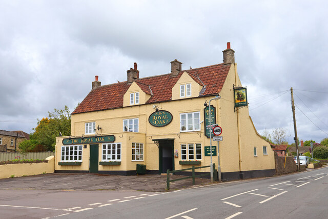
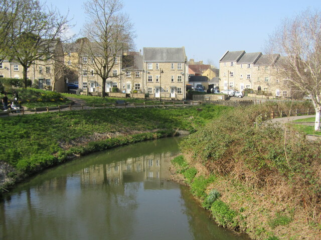
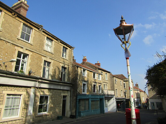
Feltham Hill Images
Images are sourced within 2km of 51.22062/-2.317942 or Grid Reference ST7746. Thanks to Geograph Open Source API. All images are credited.


Feltham Hill is located at Grid Ref: ST7746 (Lat: 51.22062, Lng: -2.317942)
Administrative County: Somerset
District: Mendip
Police Authority: Avon and Somerset
What 3 Words
///shape.adopt.views. Near Frome, Somerset
Nearby Locations
Related Wikis

Frome railway station
Frome railway station serves a largely rural area of the county of Somerset in England, and is situated in the town of Frome. The station is located on...
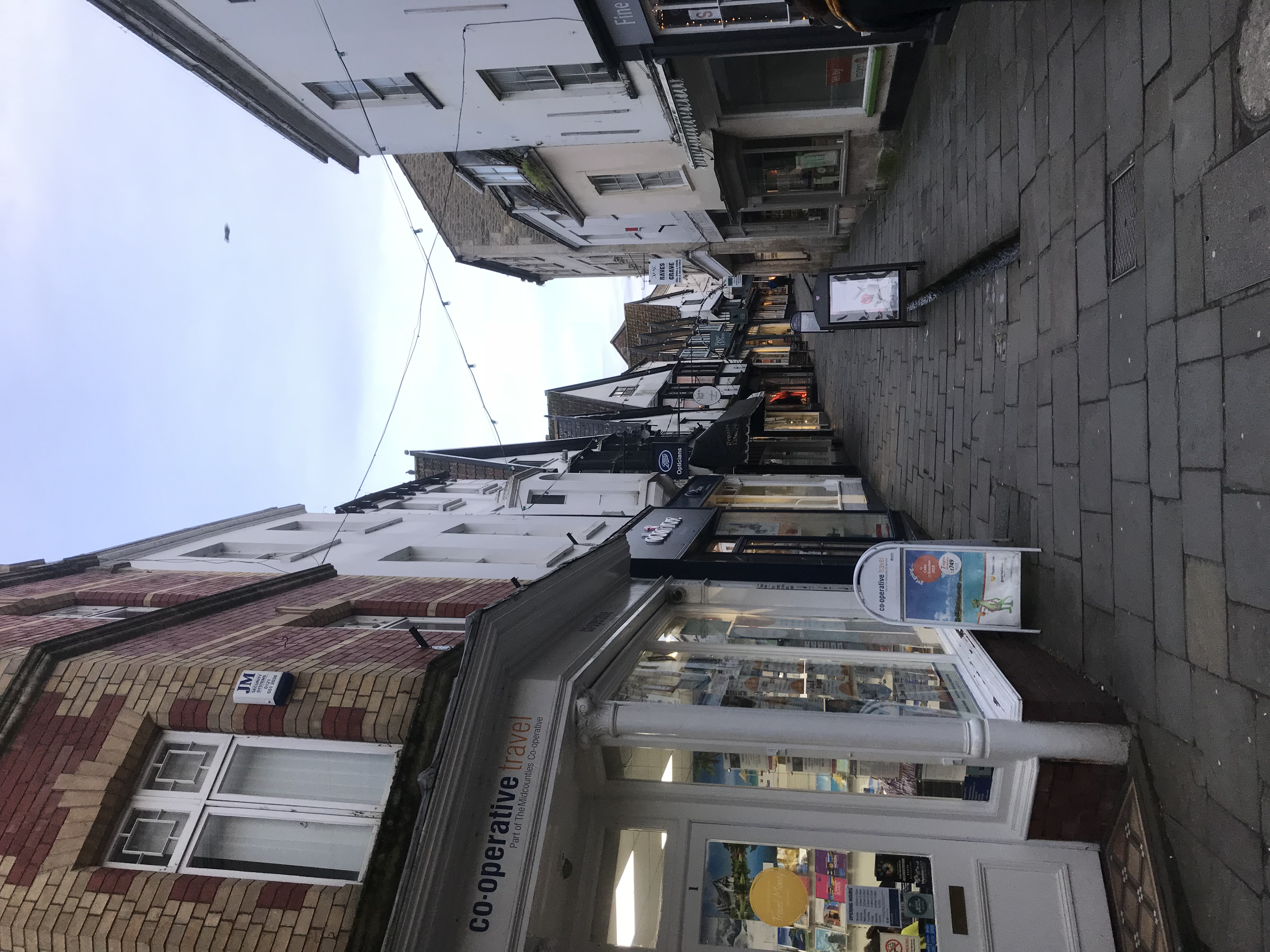
Frome
Frome ( FROOM) is a town and civil parish in eastern Somerset, England. The town is built on uneven high ground at the eastern end of the Mendip Hills...

Frome Rural District
Frome was a rural district in Somerset, England, from 1894 to 1974. The district was created in 1894 under the Local Government Act 1894. It was abolished...
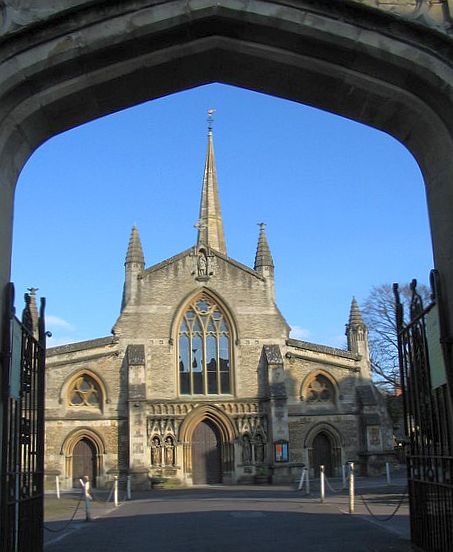
Church of St John the Baptist, Frome
The Church of St John the Baptist, Frome is a parish church in the Church of England located in Frome within the English county of Somerset. It is a Grade...
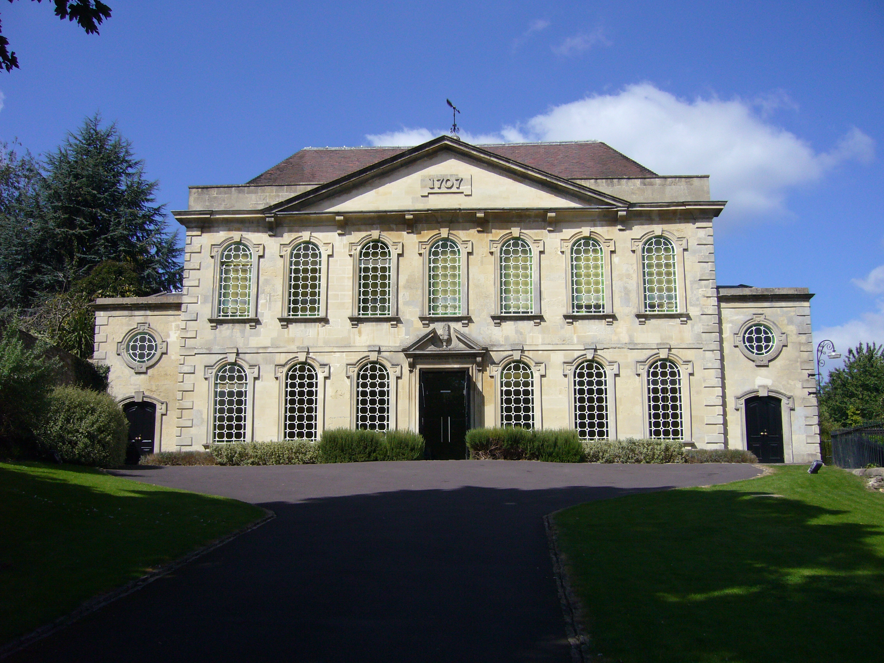
Rook Lane Chapel
Rook Lane Chapel was a place of worship, and is now an arts centre, in Frome, Somerset, England. Built in 1707 by James Pope the chapel was the place of...

Blue House, Frome
The Blue House in Frome, Somerset, England, was built in 1726 and has been designated as a Grade I listed building.The Blue House, located adjacent to...
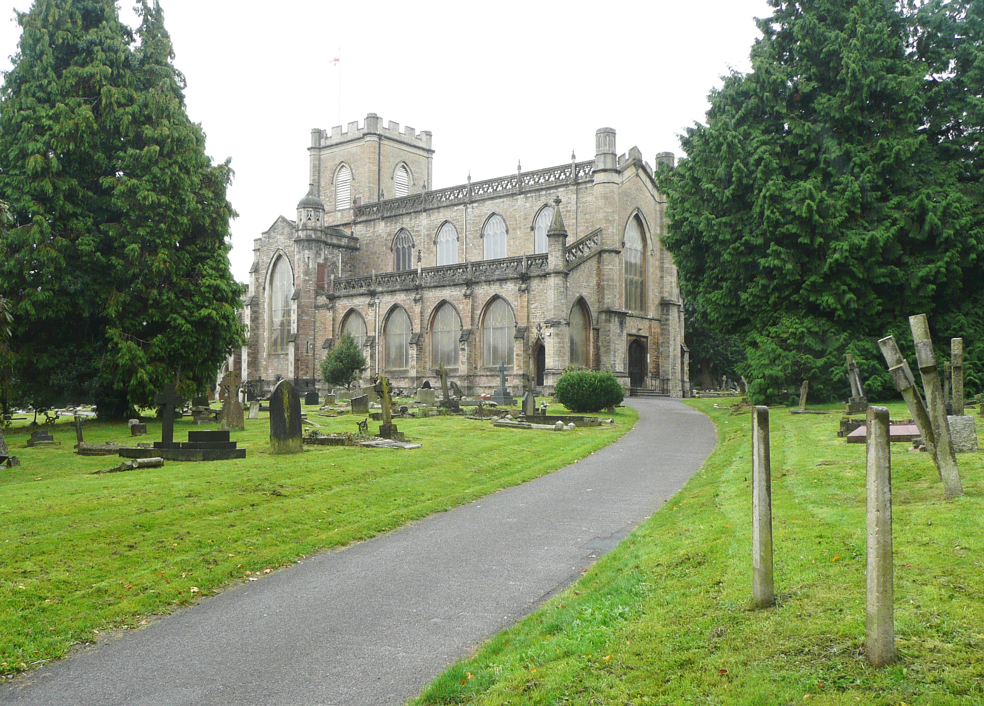
Christ Church, Frome
The Anglican Christ Church in Frome, Somerset, England, was built in 1817 and 1818. It is a Grade II* listed building. == History == The church was built...
Blatchbridge
Blatchbridge is a hamlet within the civil parish of Selwood in Somerset, England, on the B3092 road from Frome to Maiden Bradley. It formerly had a blacksmith...
Nearby Amenities
Located within 500m of 51.22062,-2.317942Have you been to Feltham Hill?
Leave your review of Feltham Hill below (or comments, questions and feedback).