Crow Hill
Hill, Mountain in Lancashire Ribble Valley
England
Crow Hill
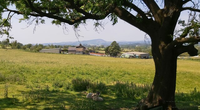
Crow Hill, located in Lancashire, England, is a prominent hill that forms part of the Pennine Range. With an elevation of approximately 434 meters (1,424 feet), it is recognized as a notable landmark in the region. Situated near the town of Rochdale, Crow Hill offers breathtaking panoramic views of the surrounding countryside.
The hill is predominantly covered in heather and grass, creating a picturesque landscape throughout the year. Its slopes are relatively gentle, making it accessible to hikers and nature enthusiasts of varying skill levels. The top of Crow Hill provides an ideal vantage point for visitors to admire the stunning vistas that stretch across the rolling hills, valleys, and moorland of Lancashire.
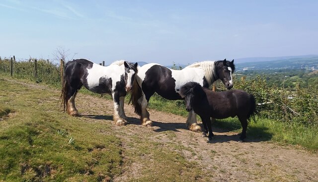
Crow Hill is also home to a diverse array of wildlife, including birds, small mammals, and various species of flora and fauna. The hill's rich biodiversity attracts nature lovers who can spot species such as curlews, meadow pipits, and red grouse. Additionally, the hillside is adorned with vibrant wildflowers during the summer months.
The hill's historic significance can be traced back to the Neolithic and Bronze Age eras, with evidence of ancient settlements and burial sites discovered in the vicinity. Archaeological finds, such as stone tools and pottery fragments, provide insights into the area's prehistoric past.
Crow Hill's accessibility, natural beauty, and historical significance make it a popular destination for locals and tourists alike. Whether visitors choose to embark on a leisurely walk or simply take in the stunning views, Crow Hill offers a unique experience for all who venture to its summit.
If you have any feedback on the listing, please let us know in the comments section below.
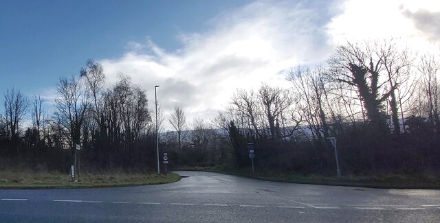
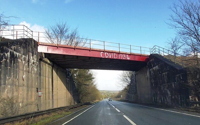
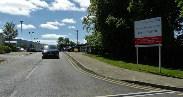
Crow Hill Images
Images are sourced within 2km of 53.882577/-2.3514772 or Grid Reference SD7642. Thanks to Geograph Open Source API. All images are credited.


Crow Hill is located at Grid Ref: SD7642 (Lat: 53.882577, Lng: -2.3514772)
Administrative County: Lancashire
District: Ribble Valley
Police Authority: Lancashire
What 3 Words
///winds.choppy.fancy. Near Chatburn, Lancashire
Related Wikis

Worston
Worston is a small linear village and civil parish in Lancashire, England. The village is north-west of Pendle Hill, east of Clitheroe, and is in the Ribble...

Chatburn railway station
Chatburn railway station once served the small village of Chatburn in Lancashire, England. == History == The original single line opened in June 1850 and...
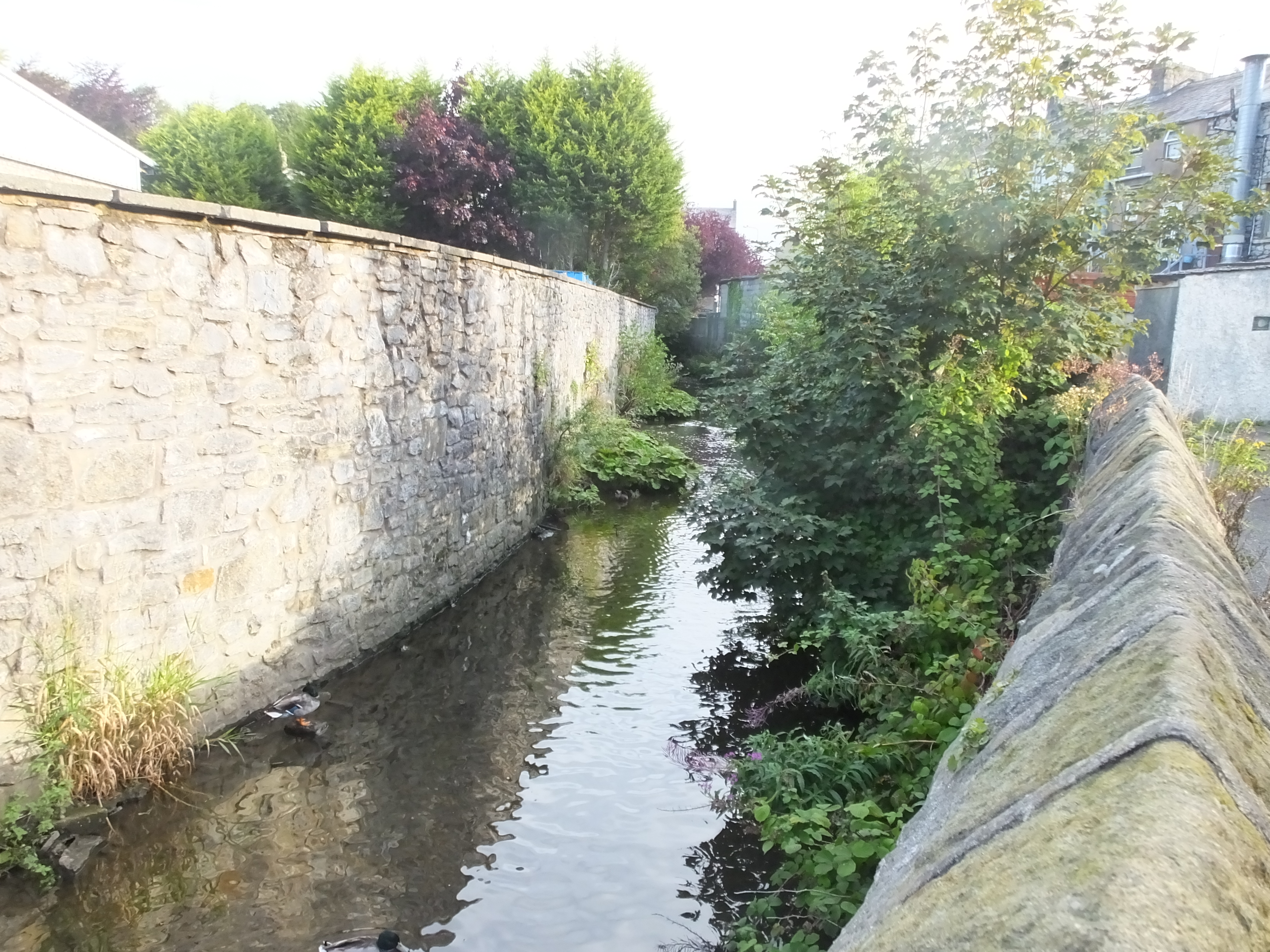
Mearley Brook
Mearley Brook is a minor river in Lancashire, England. It is approximately 4.5 miles (7.2 km) long and has a catchment area of 8.79 square miles (22.77...

Christ Church, Chatburn
Christ Church is in the village of Chatburn, Lancashire, England. It is an active Anglican parish church in the deanery of Whalley, the archdeaconry of...
Nearby Amenities
Located within 500m of 53.882577,-2.3514772Have you been to Crow Hill?
Leave your review of Crow Hill below (or comments, questions and feedback).