Byrestead Hill

Hill, Mountain in Westmorland Eden

England

Byrestead Hill

River  Eden  north  bank  looking  West From Musgrave Bridge, showing the dismantled railway embankment.
River Eden north bank looking West Credit: Martin Dawes

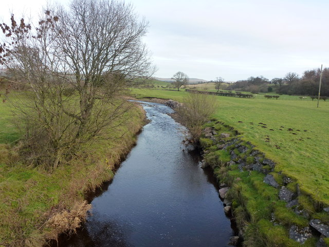
Byrestead Hill, located in the county of Westmorland in northwest England, is a prominent and picturesque hill that forms part of the stunning landscape of the Lake District National Park. Rising to an elevation of approximately 396 meters (1,299 feet), it offers breathtaking panoramic views of the surrounding countryside.

The hill is characterized by its gentle slopes, covered in lush greenery and dotted with vibrant wildflowers during the summer months. It is predominantly composed of sedimentary rocks, such as sandstone and shale, which add to its unique geological features.

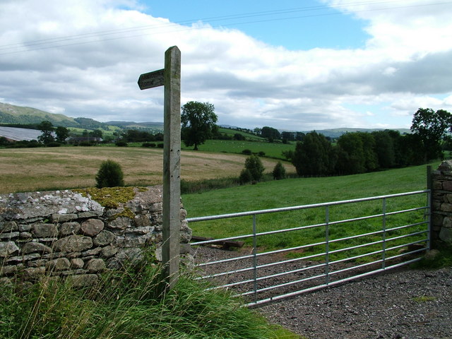
Byrestead Hill is a popular destination for hikers and nature enthusiasts, as it provides a variety of walking trails that cater to different levels of difficulty. The summit of the hill offers a magnificent vantage point, allowing visitors to admire the beauty of the Lake District, with its rolling hills, shimmering lakes, and charming villages.

Wildlife is abundant in the area, and it is not uncommon to spot various bird species, including buzzards and kestrels, soaring overhead. The hill is also home to a diverse range of plant life, with heather, bracken, and bilberry bushes covering its slopes.

For those seeking a tranquil and idyllic retreat, Byrestead Hill is the perfect place to visit. Its peaceful atmosphere, coupled with its natural beauty, provides an opportunity for relaxation and contemplation amidst the stunning scenery of Westmorland.

If you have any feedback on the listing, please let us know in the comments section below.

Byrestead Hill Images

Images are sourced within 2km of 54.50978/-2.3580329 or Grid Reference NY7612. Thanks to Geograph Open Source API. All images are credited.

River  Eden  north  bank  looking  West From Musgrave Bridge, showing the dismantled railway embankment.
River Eden north bank looking West
From Musgrave Bridge, showing the dismantled railway embankment.
Looking  north  on  the  B6295  from  Musgrave  Bridge
Looking north on the B6295 from Musgrave Bridge
Great oaks at Great Musgrave
River Eden from Musgrave Bridge (looking east)
Blandswath Bridge over the River Eden
Barn at Langrigg Roman Fell forms the backcloth.
Barn at Langrigg
Roman Fell forms the backcloth.
Great Musgrave Village Hall
Swindale Beck Upstream from the bridge at Hall Garth.
Swindale Beck
Upstream from the bridge at Hall Garth.
Barn near Knocking Tofts
Footbridge over the Eden near Beckfoot Beckfoot Lane crosses the river through a ford in the foreground but a footbridge allows pedestrians to cross dry shod.
Footbridge over the Eden near Beckfoot
Beckfoot Lane crosses the river through a ford in the foreground but a footbridge allows pedestrians to cross dry shod.
Beckfoot Lane approaching Appleby Road
On the footpath near Blands Wath A pleasant passage through rolling, grass pastureland giving good views of the nearby North Pennines. On the left is the embankment of the disused railway, ahead are the distinctive outlines of Murton Pike and Roman Fell above the Warcop Army firing ranges.
On the footpath near Blands Wath
A pleasant passage through rolling, grass pastureland giving good views of the nearby North Pennines. On the left is the embankment of the disused railway, ahead are the distinctive outlines of Murton Pike and Roman Fell above the Warcop Army firing ranges.
On the footpath past Blands Wath The footpath passes in front of the sandstone cottages and out into the pastureland beyond.
On the footpath past Blands Wath
The footpath passes in front of the sandstone cottages and out into the pastureland beyond.
Field boundary, Smithfield The footpath from Blands Wath follows the edge of the pasture. Beyond the cottage of Smithfield are the North Pennines with Roman Fell prominent.
Field boundary, Smithfield
The footpath from Blands Wath follows the edge of the pasture. Beyond the cottage of Smithfield are the North Pennines with Roman Fell prominent.
Beckfoot Lane beside Scandal Beck The lane moves close to the beck for a short stretch before both reach the River Eden. The beck is a major watercourse in its own right and at this point is almost as large as the river it soon joins.
Beckfoot Lane beside Scandal Beck
The lane moves close to the beck for a short stretch before both reach the River Eden. The beck is a major watercourse in its own right and at this point is almost as large as the river it soon joins.
Boundary stone and possible bench mark near Beckstones The stone sits on the parish boundary of Kirkby Stephen and Brough Sowerby. The lettering 'Ky Stephen' is cut into this side and there is also a bench mark-like arrow at the top of the stone. It was not possible to see the other side of the stone.
Boundary stone and possible bench mark near Beckstones
The stone sits on the parish boundary of Kirkby Stephen and Brough Sowerby. The lettering 'Ky Stephen' is cut into this side and there is also a bench mark-like arrow at the top of the stone. It was not possible to see the other side of the stone.
A tree and the North Pennines The cloud-darkened outline of Roman Fell (right) and Murton Pike beyond.
A tree and the North Pennines
The cloud-darkened outline of Roman Fell (right) and Murton Pike beyond.
Stile in short stub of wall, Washber Hill The step stile is not unusual in itself but it would seem that a short stretch of wall has been purposely built to accommodate it. I checked either side for evidence of stone wall footings but could only see hedge and fence.
Stile in short stub of wall, Washber Hill
The step stile is not unusual in itself but it would seem that a short stretch of wall has been purposely built to accommodate it. I checked either side for evidence of stone wall footings but could only see hedge and fence.
Show me another place!

Byrestead Hill is located at Grid Ref: NY7612 (Lat: 54.50978, Lng: -2.3580329)

Administrative County: Cumbria

District: Eden

Police Authority: Cumbria

What 3 Words

///overused.pills.certified. Near Kirkby Stephen, Cumbria

Nearby Locations

Byrestead Hill

Related Wikis

River Belah

The River Belah is a river in the county of Cumbria in England. Its name derives from the Old English word Belge and means the "Roaring River".The Belah...
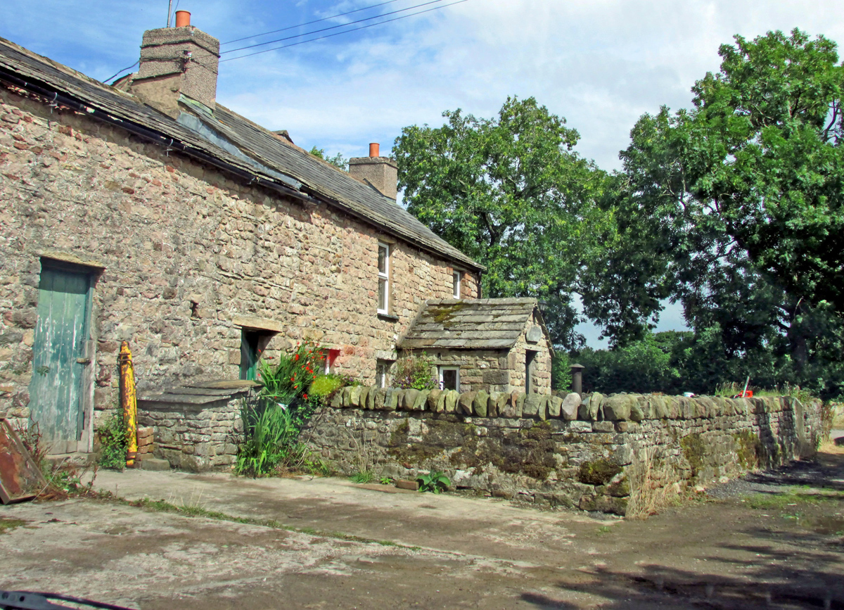
Musgrave, Cumbria

Musgrave is a civil parish in the Eden District of Cumbria, England. It has a population of 152, and contains the villages of Little Musgrave and Great...
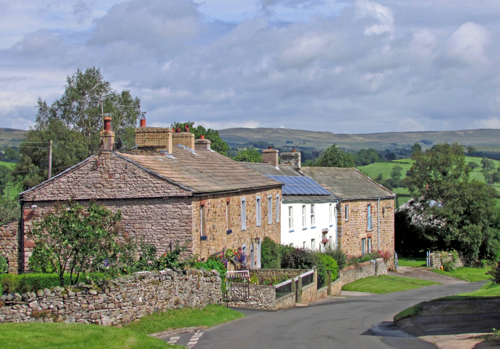
Great Musgrave

Great Musgrave is a village and former civil parish, now in the parish of Musgrave, in the Eden district of Cumbria, England. It is about a mile west of...

Musgrave railway station

Musgrave railway station was a railway station situated on the Eden Valley Railway and located between Penrith and Kirkby Stephen East, England. ��2�...

Little Musgrave

Little Musgrave is a small village and former civil parish, now in the parish of Musgrave, in the Eden district of Cumbria, England. In 1891 the parish...

Flitholme

Flitholme is a hamlet in the parish of Musgrave, in the Eden District, in the English county of Cumbria. == Location == It is located on an unclassified...

Brough Sowerby

Brough Sowerby is a village and civil parish in the Eden district of Cumbria, England. It is located 22.3 miles south east of the town Penrith. According...

Brough Castle

Brough Castle is a ruined castle in the village of Brough, Cumbria, England. The castle was built by William Rufus around 1092 within the old Roman fort...

Nearby Amenities

Located within 500m of 54.50978,-2.3580329
Byrestead Hill
Natural: peak
Lat/Long: 54.5100915/-2.3583676
Power: pole
Lat/Long: 54.5062533/-2.3544673
Power: pole
Lat/Long: 54.5073015/-2.3544673
Power: pole
Lat/Long: 54.5080374/-2.3547837
Power: pole
Lat/Long: 54.5095838/-2.3554837
Power: pole
Lat/Long: 54.5098754/-2.3555905
Power: pole
Lat/Long: 54.5060513/-2.3537574
The data included in this document is from www.openstreetmap.org. The data is made available under ODbL.

Have you been to Byrestead Hill?

Leave your review of Byrestead Hill below (or comments, questions and feedback).