Fairies Hillock

Hill, Mountain in Kincardineshire

Scotland

Fairies Hillock

Ordnance Survey Cut Mark This mark can be found on the parapet wall of the Bridge of Forthie.
The recorded details give a height of 80.7812 metres above sea level.
For more details see : <span class="nowrap"><a title="https://www.bench-marks.org.uk/bm162353" rel="nofollow ugc noopener" href="https://www.bench-marks.org.uk/bm162353">Link</a><img style="margin-left:2px;" alt="External link" title="External link - shift click to open in new window" src="https://s1.geograph.org.uk/img/external.png" width="10" height="10"/></span>
Ordnance Survey Cut Mark Credit: Peter Wood

Fairies Hillock, also known as the "Fairy Hill" or "Fairy Mountain," is a small hill located in Kincardineshire, Scotland. Situated near the village of Stonehaven, this enchanting site has long been associated with folklore and mythical creatures.

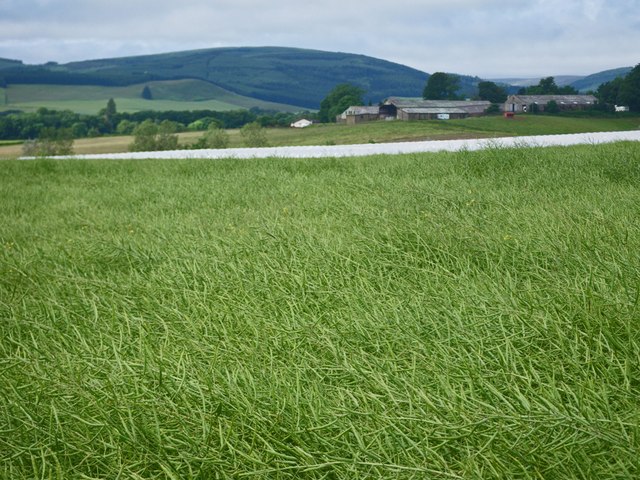
Rising to a height of around 50 meters, Fairies Hillock is covered in lush vegetation and offers stunning panoramic views of the surrounding countryside. Its unique name is derived from the belief that fairies once inhabited the area, with local legends telling tales of encounters with these magical beings.

The hill is shrouded in mystery and has been a place of intrigue for centuries. It is said that on certain nights, particularly during the summer solstice, the hill becomes a meeting place for fairies and other supernatural creatures. Locals claim to have witnessed strange lights and heard ethereal music emanating from the hill, adding to its mystical allure.

The site attracts both curious visitors and believers in the supernatural, who come to explore and experience the enchantment of Fairies Hillock. It has also become a popular spot for picnickers and nature enthusiasts who are drawn to its peaceful and serene atmosphere.

Despite its modest size, Fairies Hillock holds a significant place in the local folklore and cultural heritage of Kincardineshire. It serves as a reminder of the rich mythology and legends that have been passed down through generations, captivating the imaginations of those who visit this magical hill.

If you have any feedback on the listing, please let us know in the comments section below.

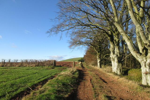
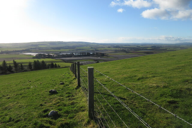
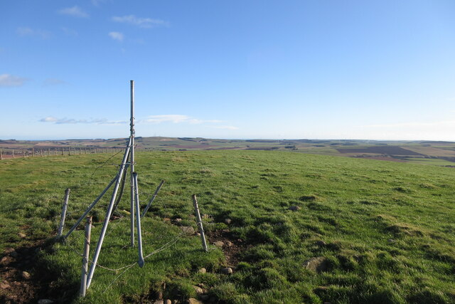
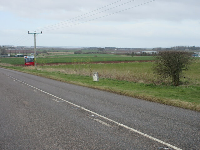
Fairies Hillock Images

Images are sourced within 2km of 56.901819/-2.3865063 or Grid Reference NO7679. Thanks to Geograph Open Source API. All images are credited.

Ordnance Survey Cut Mark This mark can be found on the parapet wall of the Bridge of Forthie.
The recorded details give a height of 80.7812 metres above sea level.
For more details see : <span class="nowrap"><a title="https://www.bench-marks.org.uk/bm162353" rel="nofollow ugc noopener" href="https://www.bench-marks.org.uk/bm162353">Link</a><img style="margin-left:2px;" alt="External link" title="External link - shift click to open in new window" src="https://s1.geograph.org.uk/img/external.png" width="10" height="10"/></span>
Ordnance Survey Cut Mark
This mark can be found on the parapet wall of the Bridge of Forthie. The recorded details give a height of 80.7812 metres above sea level. For more details see : LinkExternal link
Approaching Knock Hill from the east Approaching Knock Hill from the east along the path leading up from East Mondynes beside the A90.
Approaching Knock Hill from the east
Approaching Knock Hill from the east along the path leading up from East Mondynes beside the A90.
View from the slope of Knock Hill towards the south-west Looking south-west over Castleton Farm in the middle distance towards Hill of Garvock in the left distance. The route of the A90 dual-carriageway from Aberdeen to Dundee goes from left to right in the middle distance along the low land.
View from the slope of Knock Hill towards the south-west
Looking south-west over Castleton Farm in the middle distance towards Hill of Garvock in the left distance. The route of the A90 dual-carriageway from Aberdeen to Dundee goes from left to right in the middle distance along the low land.
Top of Knock Hill looking south-east Knock Hill is only 218 metres high but is a fine viewpoint to all directions on a clear day.
Top of Knock Hill looking south-east
Knock Hill is only 218 metres high but is a fine viewpoint to all directions on a clear day.
Milestone on the old A94 Stonehaven/Laurencekirk milestone on the spur of the B966 near Castleton, formerly the A94.
Milestone on the old A94
Stonehaven/Laurencekirk milestone on the spur of the B966 near Castleton, formerly the A94.
Play area at Castleton Playground adjacent to Castleton Farm Shop.
Play area at Castleton
Playground adjacent to Castleton Farm Shop.
Cushnie Farm Cottages Cottages at the entrance drive to Cushnie, viewed from the south-east.
Cushnie Farm Cottages
Cottages at the entrance drive to Cushnie, viewed from the south-east.
Distance marker Stonehaven 8 Miles . Lauarcekirk  6 Miles
Distance marker
Stonehaven 8 Miles . Lauarcekirk 6 Miles
The old road to Aberdeen Geocaching is a type of global treasure hunt of people looking for caches, or hidden stashes of objects. Geocaching may also be described as a series of hide-and-seek games, where hiders provide online clues for seekers. Seekers use global positioning system (GPS) devices to find hidden caches
The old road to Aberdeen
Geocaching is a type of global treasure hunt of people looking for caches, or hidden stashes of objects. Geocaching may also be described as a series of hide-and-seek games, where hiders provide online clues for seekers. Seekers use global positioning system (GPS) devices to find hidden caches
A90 The A90 road is a major north to south highway in eastern Scotland, starting in Edinburgh and running for 146 miles up the majority of the east coast to end in Fraserburgh (although immediately north of the Forth it has been replaced by the similarly numbered M90).
A90
The A90 road is a major north to south highway in eastern Scotland, starting in Edinburgh and running for 146 miles up the majority of the east coast to end in Fraserburgh (although immediately north of the Forth it has been replaced by the similarly numbered M90).
Mill of Kair
Mill of Kair
Angus pasture
Angus pasture
Bridge of Mondynes
Bridge of Mondynes
Farm buildings
Farm buildings
Old Mondynes Bridge The old road bridge over the Bervie Water at Mondynes.
Old Mondynes Bridge
The old road bridge over the Bervie Water at Mondynes.
Bervie Water The Bervie Water flowing between the rail bridge and old road bridge at Monydnes.
Bervie Water
The Bervie Water flowing between the rail bridge and old road bridge at Monydnes.
Corbies Heugh Fields leading to Corbies Heugh and the hidden Corby Pot of the Bervie Water.
Corbies Heugh
Fields leading to Corbies Heugh and the hidden Corby Pot of the Bervie Water.
Waist deep in rapeseed Blooms are gone from the rapeseed.
Waist deep in rapeseed
Blooms are gone from the rapeseed.
Show me another place!

Fairies Hillock is located at Grid Ref: NO7679 (Lat: 56.901819, Lng: -2.3865063)

Unitary Authority: Aberdeenshire

Police Authority: North East

What 3 Words

///unusually.astounded.dent. Near Laurencekirk, Aberdeenshire

Nearby Locations

Fairies Hillock Knock Hill

Related Wikis

Abbeyton Bridge

Abbeyton Bridge was a road bridge that carried the B966 road over the Dundee–Aberdeen line. == History == In June 2018, Aberdeenshire Council introduced...

Glenbervie House

Glenbervie House is a mansion house, which has incorporated parts of an earlier castle, located near Glenbervie, Kincardine and Mearns, Scotland. ��2...

Glenbervie

Glenbervie (Scottish Gaelic: Gleann Biorbhaidh) is located in the north east of Scotland in the Howe o' the Mearns, one mile from the village of Drumlithie...

Droop Hill

Droop Hill is a mountain landform in the Kincardine and Mearns region of Aberdeenshire, Scotland. The locale had been featured in a windfarm proposal...

Nearby Amenities

Located within 500m of 56.901819,-2.3865063
Material: wood
Power: pole
Lat/Long: 56.9005568/-2.3793863
Power: pole
Lat/Long: 56.9000742/-2.3805825
Power: pole
Lat/Long: 56.8994912/-2.3813537
Power: pole
Lat/Long: 56.8988877/-2.3821315
Power: pole
Lat/Long: 56.8982307/-2.3829737
Material: wood
Power: pole
Lat/Long: 56.8975862/-2.3838146
Power: pole
Lat/Long: 56.8995439/-2.380063
Power: pole
Lat/Long: 56.9004251/-2.3807522
Power: pole
Lat/Long: 56.9009799/-2.3810172
Power: pole
Lat/Long: 56.9015097/-2.3813
Power: pole
Lat/Long: 56.9018512/-2.3814574
Power: pole
Lat/Long: 56.9024365/-2.3807283
Power: pole
Lat/Long: 56.9029162/-2.3804893
Power: pole
Lat/Long: 56.9034764/-2.3802184
Power: pole
Lat/Long: 56.9039942/-2.3794714
Power: pole
Lat/Long: 56.9001281/-2.381816
Power: pole
Lat/Long: 56.9000792/-2.3829714
Power: pole
Lat/Long: 56.899965/-2.3840172
Power: pole
Lat/Long: 56.8998888/-2.3847164
Power: pole
Lat/Long: 56.8998072/-2.3854534
Power: pole
Lat/Long: 56.8997006/-2.3864435
Power: pole
Lat/Long: 56.8995842/-2.3874395
Power: pole
Lat/Long: 56.8994754/-2.3884535
Power: pole
Lat/Long: 56.8993601/-2.3894535
Power: pole
Lat/Long: 56.8992502/-2.3904594
Power: pole
Lat/Long: 56.8991414/-2.3914316
Power: pole
Lat/Long: 56.899062/-2.3924276
The data included in this document is from www.openstreetmap.org. The data is made available under ODbL.

Have you been to Fairies Hillock?

Leave your review of Fairies Hillock below (or comments, questions and feedback).