Busk Hill

Hill, Mountain in Westmorland Eden

England

Busk Hill

Field track near Soulby
Field track near Soulby Credit: Karl and Ali

Busk Hill, located in Westmorland, is a prominent hill that stands at an elevation of approximately 1,529 feet (466 meters) above sea level. Situated in the captivating Lake District National Park in Cumbria, England, it offers breathtaking panoramic views of the surrounding countryside. The hill is a popular destination for outdoor enthusiasts, including hikers, nature lovers, and photographers.

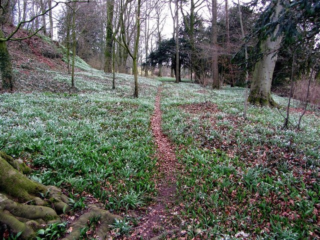
The terrain of Busk Hill is characterized by undulating slopes covered in lush green grass and scattered with rocky outcrops. It is surrounded by a diverse range of flora and fauna, making it an ideal habitat for various wildlife species. Visitors often encounter indigenous animals such as red deer, foxes, and a variety of bird species during their exploration of the hill.

The ascent to the summit of Busk Hill can be challenging, yet rewarding. Several well-marked trails and footpaths traverse the hill, offering different levels of difficulty to cater to a wide range of hikers. The routes encompass scenic landscapes, picturesque valleys, and cascading waterfalls, providing a truly immersive experience in nature.

Once at the top, visitors are rewarded with breathtaking vistas of the Lake District's stunning landscape, including the iconic Lake Windermere, surrounding mountains, and the patchwork of fields and woodlands that characterize the region. On clear days, the views extend as far as the coastline, offering a glimpse of the Irish Sea.

Overall, Busk Hill is a remarkable natural landmark that offers a memorable outdoor experience for those seeking exploration and tranquility amidst the beauty of the Lake District National Park.

If you have any feedback on the listing, please let us know in the comments section below.
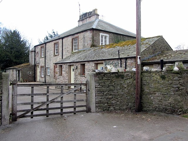
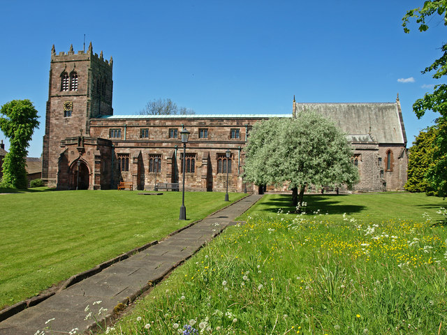
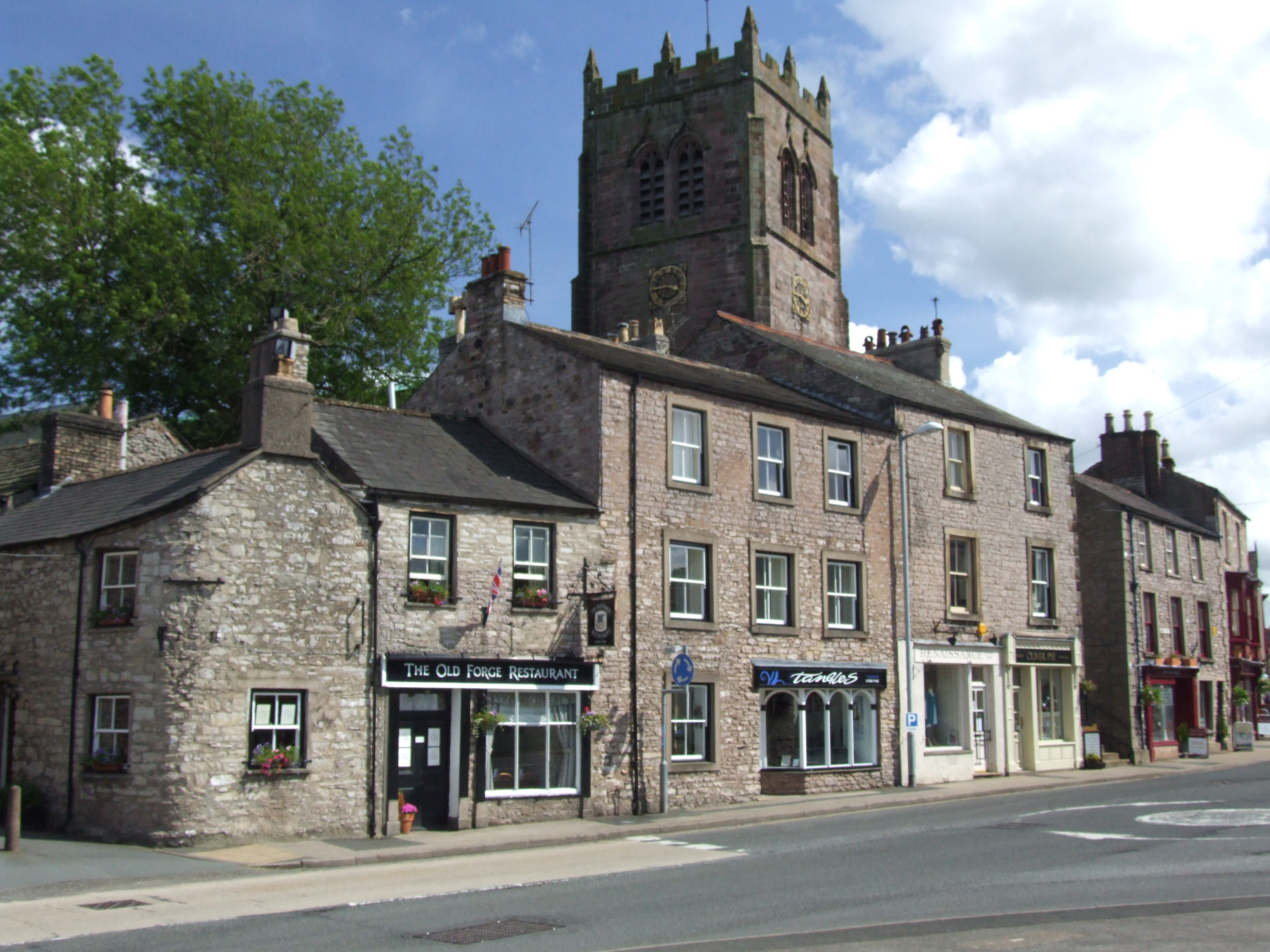
Busk Hill Images

Images are sourced within 2km of 54.486106/-2.3647102 or Grid Reference NY7610. Thanks to Geograph Open Source API. All images are credited.

Field track near Soulby
Former Church of St Luke, Soulby The church is Grade II listed <span class="nowrap"><a title="http://www.britishlistedbuildings.co.uk/en-73027-church-of-st-luke-soulby" rel="nofollow ugc noopener" href="http://www.britishlistedbuildings.co.uk/en-73027-church-of-st-luke-soulby">Link</a><img style="margin-left:2px;" alt="External link" title="External link - shift click to open in new window" src="https://s1.geograph.org.uk/img/external.png" width="10" height="10"/></span> but appears to be defunct as there is a for sale sign. It was built in 1663 and the 'wrought-iron weathercock has Musgrave arms and 1830 date' although I didn't notice this.
Former Church of St Luke, Soulby
The church is Grade II listed LinkExternal link but appears to be defunct as there is a for sale sign. It was built in 1663 and the 'wrought-iron weathercock has Musgrave arms and 1830 date' although I didn't notice this.
Ordnance Survey  Flush Bracket 1245 This bracket can be found on the wall of the Methodist Chapel.
For more detail see : <span class="nowrap"><a title="http://www.bench-marks.org.uk/bm2398" rel="nofollow ugc noopener" href="http://www.bench-marks.org.uk/bm2398">Link</a><img style="margin-left:2px;" alt="External link" title="External link - shift click to open in new window" src="https://s1.geograph.org.uk/img/external.png" width="10" height="10"/></span>
Ordnance Survey Flush Bracket 1245
This bracket can be found on the wall of the Methodist Chapel. For more detail see : LinkExternal link
Ordnance Survey Cut Mark This mark can be found on the wall of St Lukes Church, Soulby.
For more detail see : <span class="nowrap"><a title="http://www.bench-marks.org.uk/bm43365" rel="nofollow ugc noopener" href="http://www.bench-marks.org.uk/bm43365">Link</a><img style="margin-left:2px;" alt="External link" title="External link - shift click to open in new window" src="https://s1.geograph.org.uk/img/external.png" width="10" height="10"/></span>
Ordnance Survey Cut Mark
This mark can be found on the wall of St Lukes Church, Soulby. For more detail see : LinkExternal link
St Lukes Church in Soulby The posts surrounding the green are to prevent travellers camping on their way to Appleby Horse Fair.
St Lukes Church in Soulby
The posts surrounding the green are to prevent travellers camping on their way to Appleby Horse Fair.
Posts on the Green The posts surrounding the green are to prevent travellers camping on their way to Appleby Horse Fair.
Posts on the Green
The posts surrounding the green are to prevent travellers camping on their way to Appleby Horse Fair.
Crossroads in Soulby
Scandal Beck at Soulby
Farm buildings by Scandal Beck, Soulby The old buildings on the bank of Scandal Beck close to Barney Scar below Denmark Hall.
Farm buildings by Scandal Beck, Soulby
The old buildings on the bank of Scandal Beck close to Barney Scar below Denmark Hall.
Soulby from the bridge
Children's playground and old school, Soulby
Woodland snowdrops, Soulby
Village pump, Soulby The Jubilee Pump, dated 1887 on commemorative plaque (erected for Queen Victoria's golden jubilee), is on site of a former well. It has a wooden pump case with lead spout and cast-iron handle. The pump is surrounded by a low circular drystone wall topped with weathered limestone. The structure is Grade II Listed.
<span class="nowrap"><a title="http://www.heritagegateway.org.uk/Gateway/Results_Single.aspx?resourceID=5&uid=1326957" rel="nofollow ugc noopener" href="http://www.heritagegateway.org.uk/Gateway/Results_Single.aspx?resourceID=5&uid=1326957">Link</a><img style="margin-left:2px;" alt="External link" title="External link - shift click to open in new window" src="https://s1.geograph.org.uk/img/external.png" width="10" height="10"/></span>
Village pump, Soulby
The Jubilee Pump, dated 1887 on commemorative plaque (erected for Queen Victoria's golden jubilee), is on site of a former well. It has a wooden pump case with lead spout and cast-iron handle. The pump is surrounded by a low circular drystone wall topped with weathered limestone. The structure is Grade II Listed. LinkExternal link
Belsey Gate House & outbuildings, Soulby
Belsey Gate House, Soulby
Road at Belsey Gate Farm, Soulby
Hutton Lodge Pottery, Mill Lane, Soulby
Show me another place!

Busk Hill is located at Grid Ref: NY7610 (Lat: 54.486106, Lng: -2.3647102)

Administrative County: Cumbria

District: Eden

Police Authority: Cumbria

What 3 Words

///epic.behind.handfuls. Near Kirkby Stephen, Cumbria

Nearby Locations

Trainriggs Hill Busk Hill

Related Wikis

Kirkby Stephen Grammar School

Kirkby Stephen Grammar School is a coeducational secondary school. It is an Academy and has a sixth form. It is located in Kirkby Stephen in the English...

St Stephen's Church, Kirkby Stephen

The Parish Church, Kirkby Stephen is an Anglican parish church in Kirkby Stephen, Cumbria. == History == Kirkby Stephen Parish Church is often called the...

Soulby

Soulby is a village and civil parish in the Eden district of Cumbria, England. The parish had a population of 186 in 2001, increasing slightly to 187 at...

Kirkby Stephen

Kirkby Stephen () is a market town and civil parish in Westmorland and Furness, Cumbria, England. Historically part of Westmorland, it lies on the A685...

Winton, Cumbria

Winton is a village and civil parish in the Eden District of Cumbria, England. It is 2.9 miles (4.7 km) south of Brough, and 1.6 miles (2.6 km) north of...

Stainmore Railway Company

Stainmore Railway Company is a volunteer-run, non-profit preservation company formed in 2000 with the aim of restoring Kirkby Stephen East railway station...

Hartley, Cumbria

Hartley is a village and civil parish in the Eden district of Cumbria, England. It is about 0.5 miles (0.8 km) east of Kirkby Stephen. The area has many...

River Belah

The River Belah is a river in the county of Cumbria in England. Its name derives from the Old English word Belge and means the "Roaring River".The Belah...

Nearby Amenities

Located within 500m of 54.486106,-2.3647102
Howgill Bank
Place: locality
Lat/Long: 54.4832315/-2.3594244
Busk
Place: locality
Lat/Long: 54.4860348/-2.3683477
Trainriggs Hill
Place: locality
Lat/Long: 54.4869246/-2.3642755
Busk Hill
Place: locality
Lat/Long: 54.4857852/-2.3647238
Power: pole
Lat/Long: 54.4835081/-2.3648782
Power: pole
Lat/Long: 54.4841789/-2.3652095
Power: pole
Lat/Long: 54.4821501/-2.3641795
Power: pole
Lat/Long: 54.4816811/-2.3652738
Power: pole
Lat/Long: 54.4848361/-2.365498
Power: pole
Lat/Long: 54.4856206/-2.365935
Power: pole
Lat/Long: 54.4856356/-2.3642977
Power: pole
Lat/Long: 54.4864132/-2.3630836
Power: pole
Lat/Long: 54.4868887/-2.3622393
Power: pole
Lat/Long: 54.4875595/-2.3609896
Power: pole
Lat/Long: 54.4880557/-2.360086
Power: pole
Lat/Long: 54.4885599/-2.3591961
Power: pole
Lat/Long: 54.4880592/-2.3613969
Power: pole
Lat/Long: 54.4891354/-2.3621918
Power: pole
Lat/Long: 54.489844/-2.3626723
The data included in this document is from www.openstreetmap.org. The data is made available under ODbL.

Have you been to Busk Hill?

Leave your review of Busk Hill below (or comments, questions and feedback).