Big Hill
Hill, Mountain in Yorkshire Craven
England
Big Hill
Big Hill is a prominent feature located in Yorkshire, England. Rising to an elevation of approximately 1,500 feet (457 meters), it is considered a notable hill in the region. It is situated within the Yorkshire Dales National Park, specifically in the area known as Upper Wharfedale.
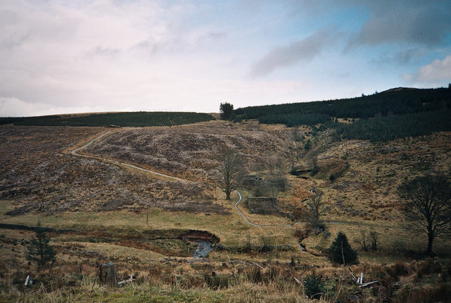
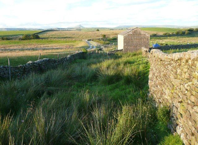
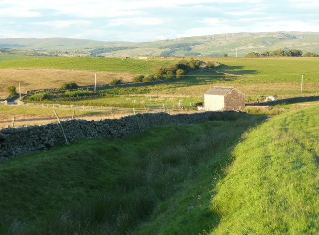
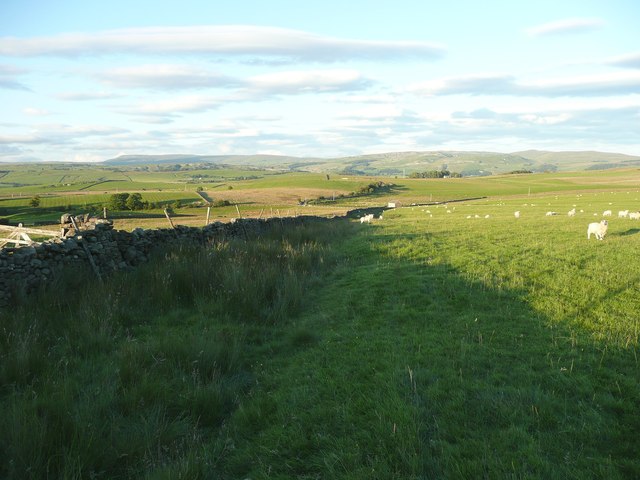
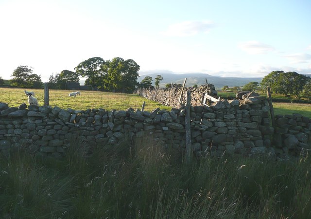
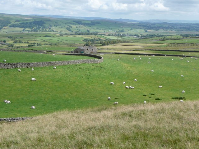
The landscape surrounding Big Hill is characterized by its stunning natural beauty. Lush green meadows, picturesque valleys, and cascading waterfalls adorn the area, creating a scenic backdrop for outdoor enthusiasts. The hill itself is covered in heather and grass, providing a habitat for various wildlife species.
Big Hill offers breathtaking panoramic views of the surrounding countryside, providing visitors with an opportunity to appreciate the vastness and grandeur of Yorkshire. On clear days, it is possible to see other prominent landmarks such as the Three Peaks, Ingleborough, Pen-y-ghent, and Whernside, which add to the allure of the area.
The hill is a popular destination for hikers and walkers, who can explore the numerous trails and footpaths that traverse the region. These routes vary in difficulty, catering to both seasoned adventurers and casual walkers. The climb to the summit is rewarded with sweeping vistas, making it a worthwhile endeavor.
In addition to its natural beauty, Big Hill also holds historical significance. The area is dotted with ancient archaeological sites, such as stone circles and burial mounds, which provide insights into the region's past.
Overall, Big Hill in Yorkshire offers a captivating blend of natural splendor, panoramic views, and historical charm, making it an ideal destination for those seeking an immersive outdoor experience.
If you have any feedback on the listing, please let us know in the comments section below.
Big Hill Images
Images are sourced within 2km of 54.051245/-2.3620188 or Grid Reference SD7661. Thanks to Geograph Open Source API. All images are credited.


Big Hill is located at Grid Ref: SD7661 (Lat: 54.051245, Lng: -2.3620188)
Division: West Riding
Administrative County: North Yorkshire
District: Craven
Police Authority: North Yorkshire
What 3 Words
///hubcaps.vowel.girder. Near Settle, North Yorkshire
Nearby Locations
Related Wikis

Eldroth
Eldroth is a village in North Yorkshire, England. It is in the civil parish of Lawkland, part of the former Craven District, some 3.25 miles (5.23 km)...

Giggleswick railway station
Giggleswick is a railway station on the Bentham Line, which runs between Leeds and Morecambe via Skipton. The station, situated 41+1⁄4 miles (66 km) north...

Rathmell
Rathmell is a village and civil parish in the Craven district of North Yorkshire, England. The population of the civil parish in the 2011 census was 305...

Lawkland
Lawkland is a civil parish in North Yorkshire, England, near the A65 and 4 miles (6.4 km) west of Settle. It lies within the Forest of Bowland Area of...
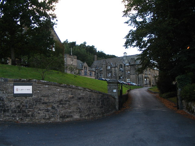
Giggleswick School
Giggleswick School is a public school (English private boarding and day school) in Giggleswick, near Settle, North Yorkshire, England. == Early school... ==
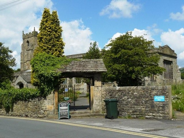
Church of St Alkelda, Giggleswick
The Church of St Alkelda, Giggleswick (historically St Alkald), is an Anglican church in the village of Giggleswick, North Yorkshire, England. St Alkelda...

Giggleswick
Giggleswick, a village and civil parish in the Craven district of North Yorkshire, England, lies on the B6480 road, less than 1 mile (1.6 km) north-west...

Settle Junction railway station
Settle Junction railway station was located near the town of Settle, North Yorkshire, England, immediately to south of the junction between the Midland...
Have you been to Big Hill?
Leave your review of Big Hill below (or comments, questions and feedback).