Bardwell
Settlement in Suffolk West Suffolk
England
Bardwell
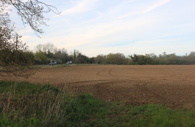
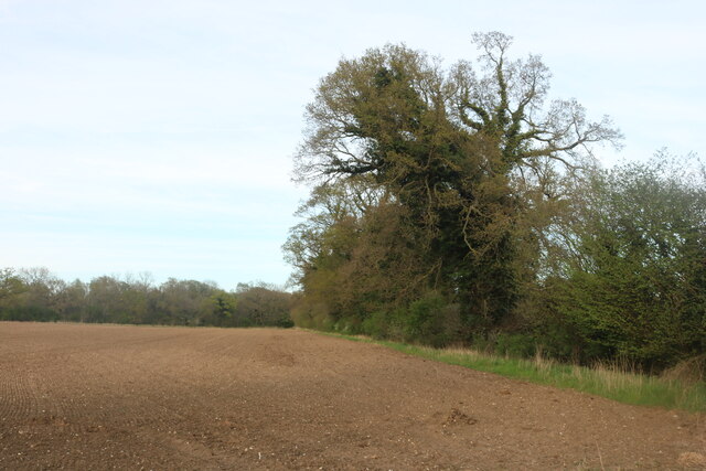
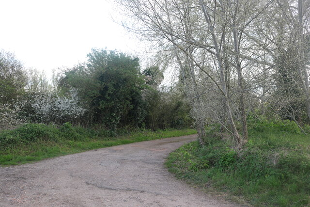
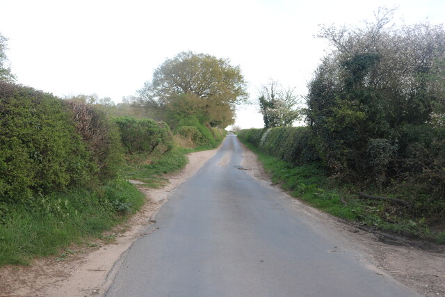
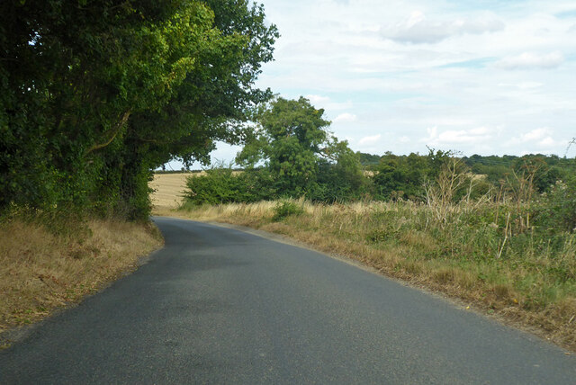
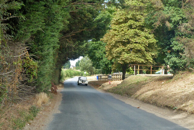
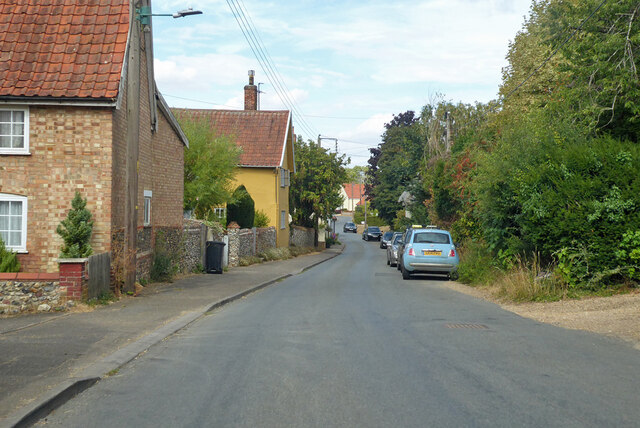
Bardwell is a small village located in the county of Suffolk, England. Situated approximately 10 miles northeast of Bury St Edmunds, it is part of the Mid Suffolk district. The village lies in a rural setting, surrounded by picturesque countryside and farmland.
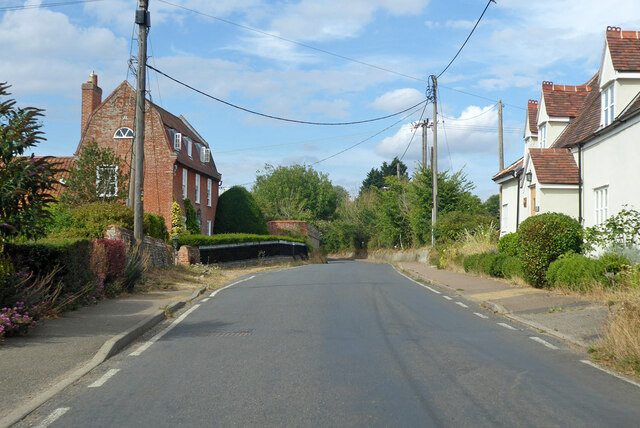
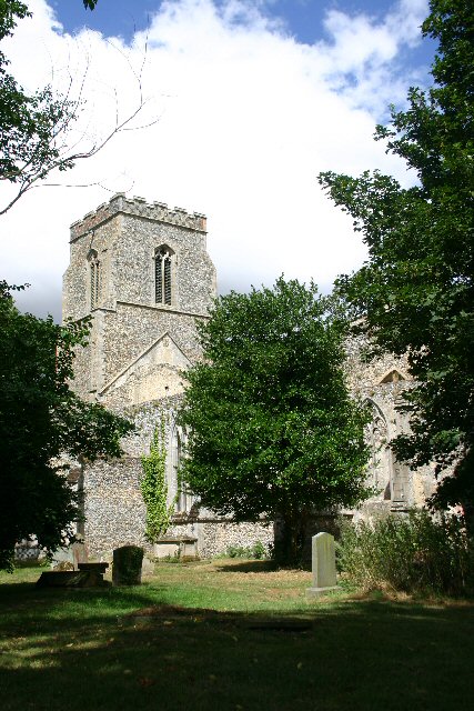
Bardwell is known for its charming and traditional character. It features a variety of historical buildings, including St Peter and St Paul's Church, which dates back to the 14th century. The church is renowned for its impressive architecture and intricate stained glass windows, attracting visitors with an interest in history and heritage.
The village is home to a close-knit community, with a population of around 500 residents. It offers a peaceful and tranquil environment, making it an attractive place to live for those seeking a quieter lifestyle. The village benefits from various amenities, including a local pub, The Six Bells Inn, which serves as a social hub for both residents and visitors.
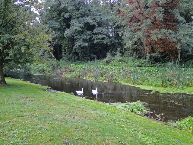
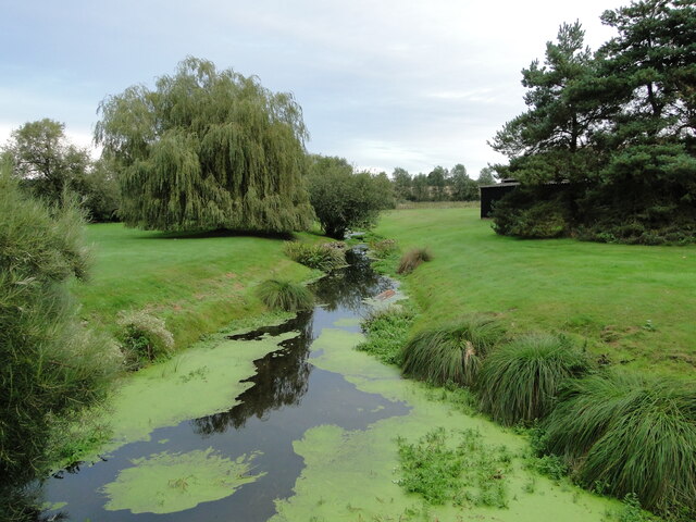
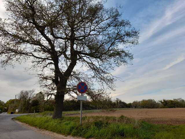
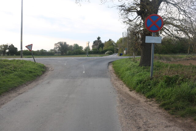
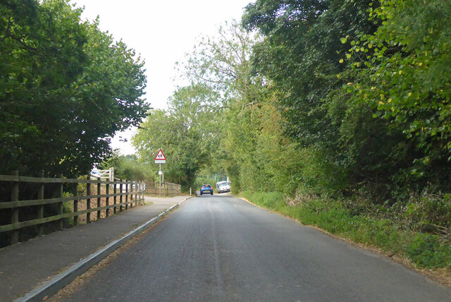
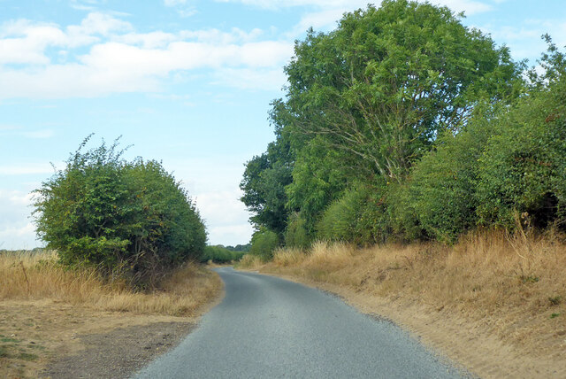
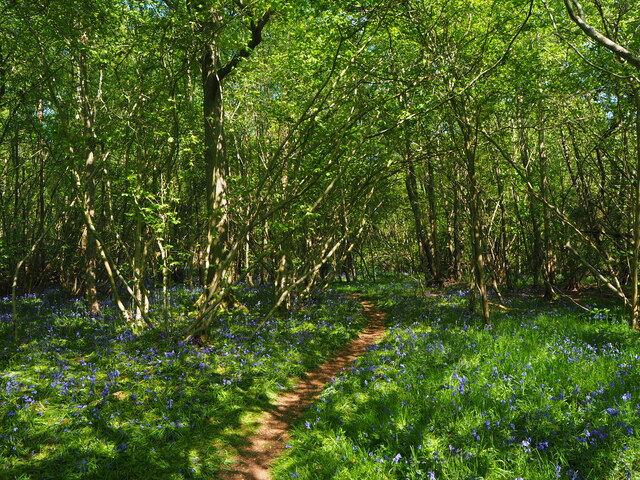
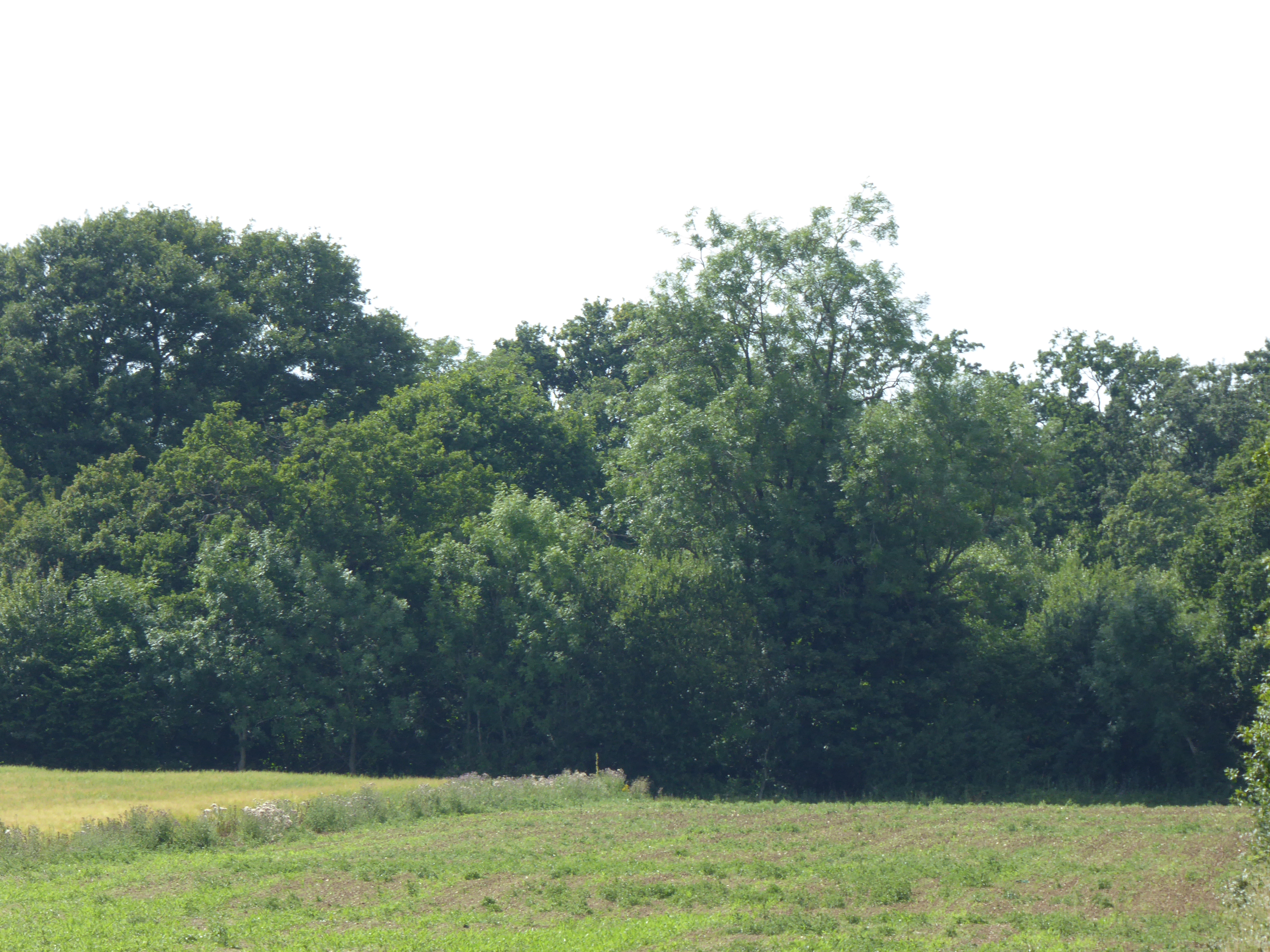
Nature enthusiasts can enjoy exploring the surrounding countryside, with several walking and cycling routes available. Bardwell also boasts a village green, providing a green space for recreational activities and community events.
Overall, Bardwell offers a harmonious blend of natural beauty, historical significance, and a tight-knit community, making it an idyllic destination for those seeking a peaceful rural retreat in the heart of Suffolk.
If you have any feedback on the listing, please let us know in the comments section below.
Bardwell Images
Images are sourced within 2km of 52.325387/0.8474198 or Grid Reference TL9473. Thanks to Geograph Open Source API. All images are credited.
Bardwell is located at Grid Ref: TL9473 (Lat: 52.325387, Lng: 0.8474198)
Administrative County: Suffolk
District: West Suffolk
Police Authority: Suffolk
What 3 Words
///constants.caller.silently. Near Ixworth, Suffolk
Nearby Locations
Related Wikis

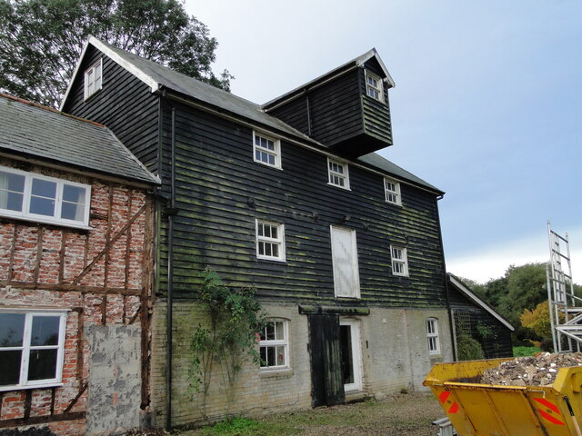
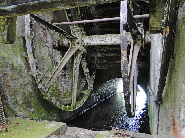
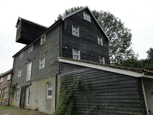
Bardwell Windmill
Bardwell Mill is a Grade II* listed tower mill at Bardwell, Suffolk, England, which is under restoration. == History == Bardwell Mill was built in 1823...

Bowbeck
Bowbeck is a hamlet in Suffolk, England. == External links == Media related to Bowbeck at Wikimedia Commons
Bardwell, Suffolk
Bardwell is a village and civil parish in the West Suffolk district of Suffolk, England. == Location == Bardwell is located about ten miles north-east...
Bangrove Wood, Ixworth
Bangrove Wood is an 18.6-hectare (46-acre) biological Site of Special Scientific Interest north of Ixworth in Suffolk, England.This is ancient coppice...
St John the Baptist's Church, Stanton
St John the Baptist's Church is a redundant Anglican church in the village of Stanton, Suffolk, England. It is recorded in the National Heritage List...

St Andrew's Church, Sapiston
St Andrew's Church is a redundant Anglican church in the village of Sapiston, Suffolk, England. It is recorded in the National Heritage List for England...

Stanton Chare
Stanton Chare is a hamlet in West Suffolk district, Suffolk, England. It is near the large village of Stanton. The A143 road and B1111 road are nearby...

Ixworth Thorpe
Ixworth Thorpe is a small village and civil parish in the West Suffolk district of the English county of Suffolk. The village is located on the A1088 road...
Nearby Amenities
Located within 500m of 52.325387,0.8474198Have you been to Bardwell?
Leave your review of Bardwell below (or comments, questions and feedback).