Broom Hill
Hill, Mountain in Staffordshire Stafford
England
Broom Hill

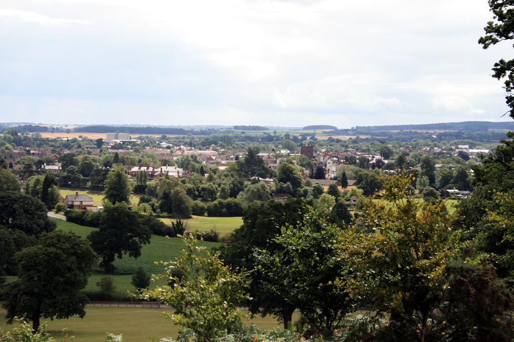
Broom Hill is a prominent hill located in Staffordshire, England. It is situated in the southern part of the county, near the town of Uttoxeter. Standing at an elevation of approximately 228 meters (748 feet), Broom Hill offers panoramic views of the surrounding countryside.
The hill is characterized by its gently sloping terrain, covered in lush greenery and dotted with a variety of trees, including oak and beech. The area is also home to a diverse range of wildlife, making it a popular spot for nature enthusiasts and birdwatchers.
Broom Hill has attracted visitors for centuries due to its historical significance. It is believed to have been an important site during the Roman era, possibly serving as a lookout point or signaling station. Archaeological excavations have uncovered remnants of ancient settlements in the vicinity, further adding to its historical value.
In addition to its natural and historical attractions, Broom Hill also offers recreational opportunities. There are several footpaths and hiking trails that crisscross the hill, allowing visitors to explore the area and enjoy its tranquil beauty. The hill is often frequented by walkers and runners, seeking exercise and fresh air.
Overall, Broom Hill, Staffordshire, is a picturesque and historically significant hill that offers a peaceful escape from the hustle and bustle of modern life. With its stunning views, diverse wildlife, and recreational opportunities, it continues to be a cherished destination for both locals and tourists alike.
If you have any feedback on the listing, please let us know in the comments section below.
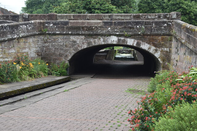
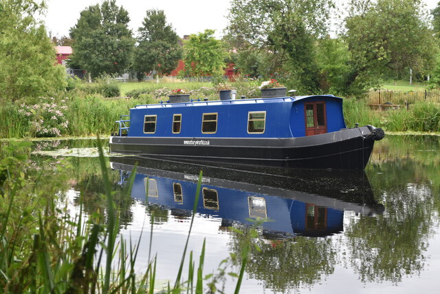
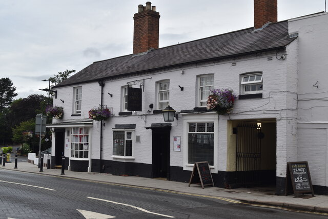
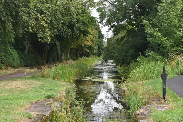
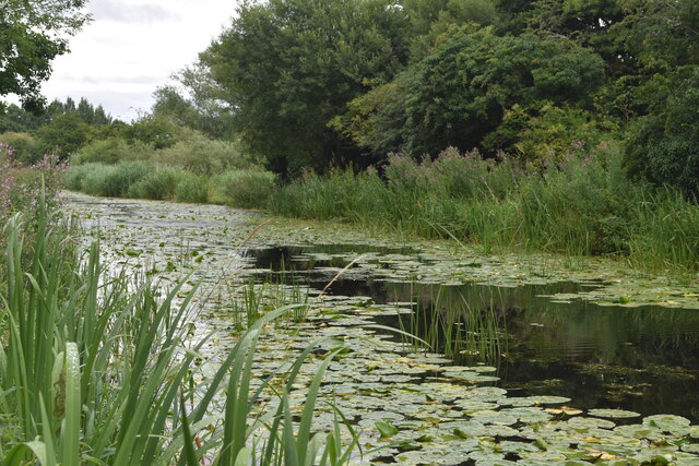
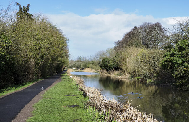
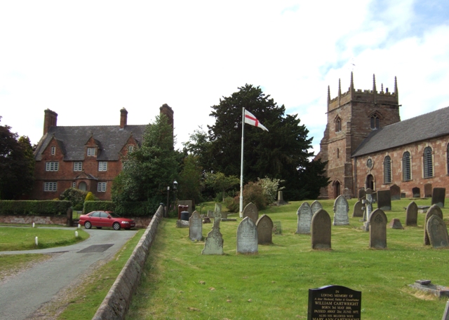
Broom Hill Images
Images are sourced within 2km of 52.776129/-2.3574793 or Grid Reference SJ7519. Thanks to Geograph Open Source API. All images are credited.


Broom Hill is located at Grid Ref: SJ7519 (Lat: 52.776129, Lng: -2.3574793)
Administrative County: Staffordshire
District: Stafford
Police Authority: Staffordshire
What 3 Words
///sending.admiringly.confusion. Near Newport, Shropshire
Nearby Locations
Related Wikis

Aqualate Mere
Aqualate Mere, in Staffordshire, is the largest natural lake in the English Midlands and is managed as a national nature reserve (NNR) by Natural England...

Forton Hall
Forton Hall is a 17th-century country house situated in the village of Forton, Staffordshire, close to the Shropshire border at Newport. It is a Grade...

Aqualate Hall
Aqualate Hall, a 20th-century country house, is located in Forton, Staffordshire, England, some 2 miles (3.2 km) east of the market town of Newport, Shropshire...
Forton, Staffordshire
Forton is a small village and civil parish in Staffordshire, England, situated east of the market town of Newport, Shropshire. The civil Parish population...

Old Town Hall, Newport
The Old Town Hall is a municipal building in St Mary Street, Newport, Shropshire, England. The structure, which is now divided into a series of shop units...
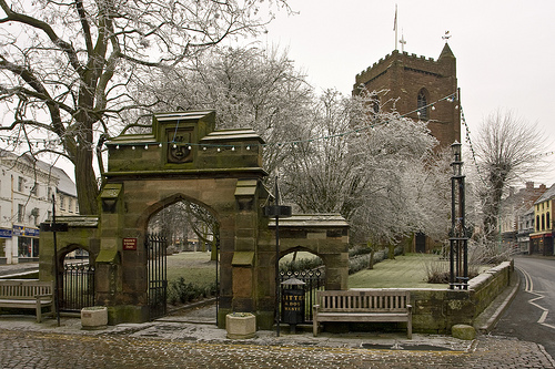
Newport, Shropshire
Newport is a market town in the borough of Telford and Wrekin in Shropshire, England. It lies 7 miles (11 km) north-east of Telford town centre, 12 miles...
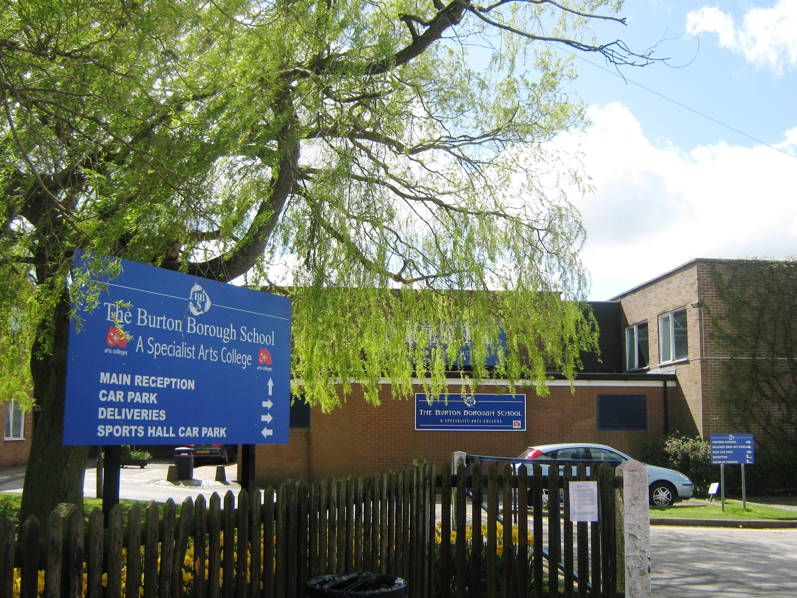
Burton Borough School
Burton Borough School (often abbreviated as 'BBS') is a coeducational secondary school situated on the southern edge of Newport, Shropshire, England, in...
St Nicholas Church, Newport
St Nicholas's Church is an Anglican church in the market town of Newport, Shropshire, England lying within the Diocese of Lichfield. It is dedicated to...
Nearby Amenities
Located within 500m of 52.776129,-2.3574793Have you been to Broom Hill?
Leave your review of Broom Hill below (or comments, questions and feedback).