Hill of Bogjurgan
Hill, Mountain in Kincardineshire
Scotland
Hill of Bogjurgan
The Hill of Bogjurgan is a prominent landmark located in Kincardineshire, Scotland. Rising to an elevation of approximately 376 meters (1,234 feet), it is classified as a hill rather than a mountain. The hill is situated about 4 kilometers southeast of the town of Laurencekirk, and is part of the larger Garvock Hill range.
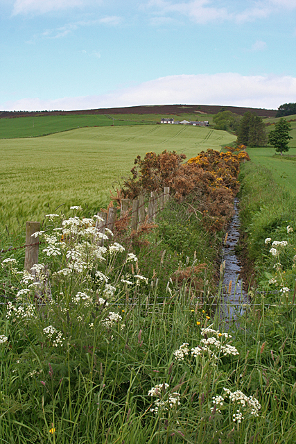
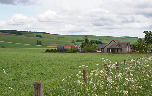
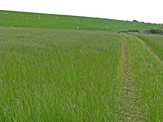
The Hill of Bogjurgan is characterized by its gently sloping sides and rounded summit, which offers panoramic views of the surrounding countryside. The landscape is predominantly covered in heather, with patches of grass and scattered trees. The hill's location in a rural area makes it a popular destination for hikers and nature enthusiasts seeking a peaceful retreat.
The hill is also known for its archaeological significance. In 2015, a team of archaeologists discovered the remains of a Neolithic settlement on the hill, including evidence of stone tools and a hearth. This discovery has shed new light on the ancient history of the area and has sparked further research into the lives of the early inhabitants.
Access to the Hill of Bogjurgan is relatively easy, with a network of paths and trails leading to the summit. These paths are well-maintained and offer a variety of routes for both novice and experienced hikers. The hill's close proximity to Laurencekirk also makes it easily accessible by car or public transportation.
Overall, the Hill of Bogjurgan is a picturesque and historically significant landmark in Kincardineshire, attracting visitors with its natural beauty and archaeological treasures.
If you have any feedback on the listing, please let us know in the comments section below.
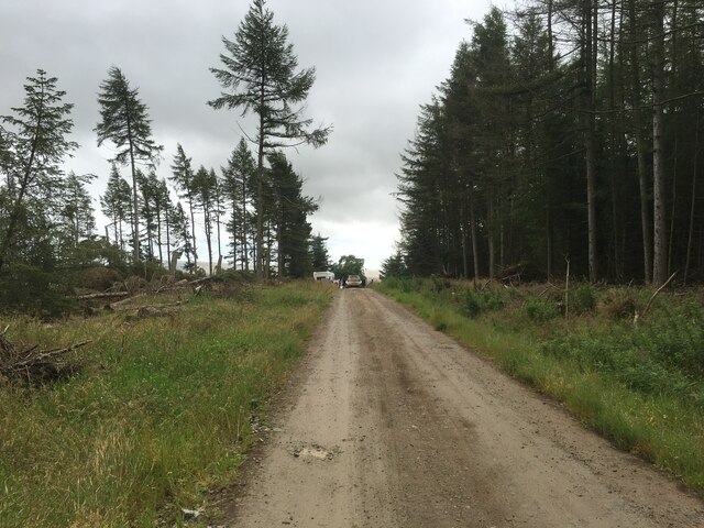
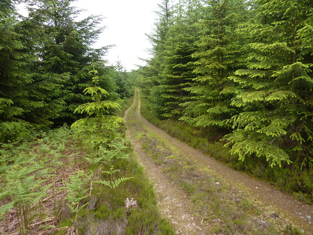
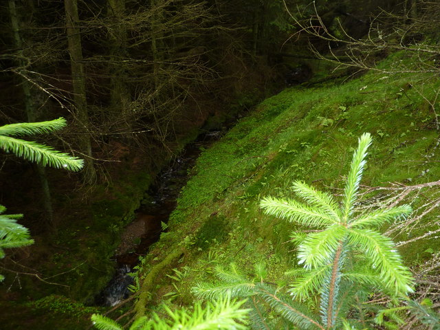
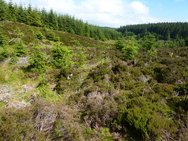
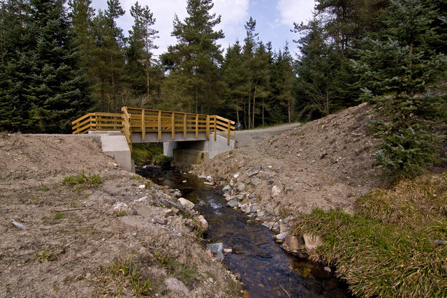
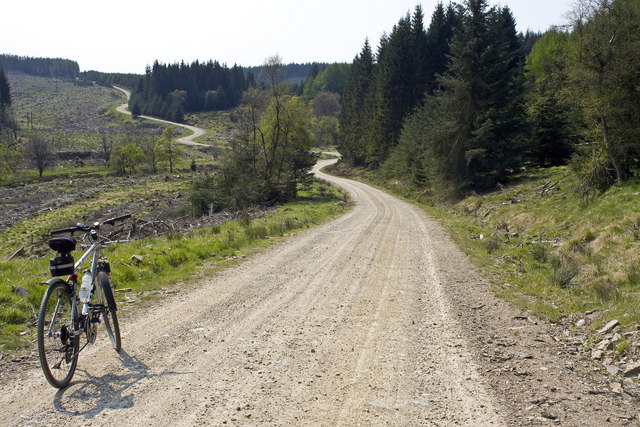
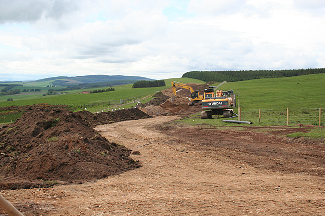
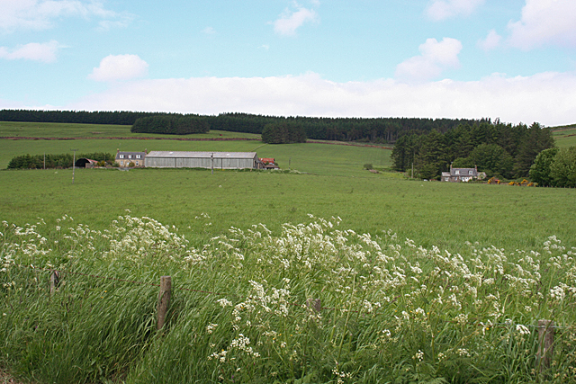
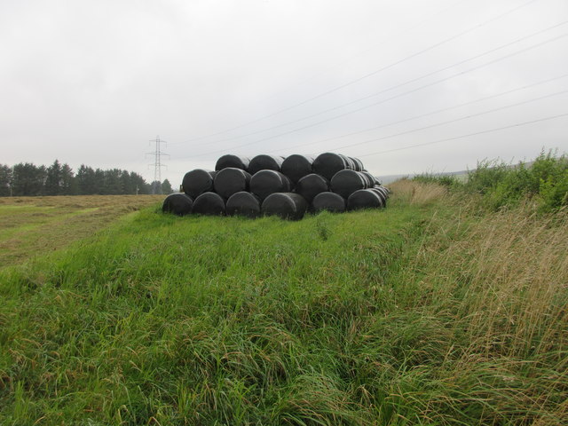
Hill of Bogjurgan Images
Images are sourced within 2km of 56.958029/-2.4005219 or Grid Reference NO7585. Thanks to Geograph Open Source API. All images are credited.


Hill of Bogjurgan is located at Grid Ref: NO7585 (Lat: 56.958029, Lng: -2.4005219)
Unitary Authority: Aberdeenshire
Police Authority: North East
What 3 Words
///regaining.vocals.request. Near Stonehaven, Aberdeenshire
Nearby Locations
Related Wikis
Bogjurgan Hill
Bogjurgan Hill is an elevated landform at the southern verge of the Fetteresso Forest in Aberdeenshire, Scotland. Its top is at an elevation of 299 metres...

Fetteresso Forest
The Fetteresso Forest is a woodland that is principally coniferous situated in the Mounth range of the Grampian Mountains in Aberdeenshire, Scotland. The...
Craiginour
Craiginour is a hill located near Cowie Water in Stonehaven, Aberdeenshire, Scotland. Its summit is at 355 metres (1,165 ft). == References ==

Carmont railway station
Carmont railway station, on the Aberdeen Railway, served the rural area of Carmont in Aberdeenshire, Scotland from 1855 to 1964. == History == The station...
Have you been to Hill of Bogjurgan?
Leave your review of Hill of Bogjurgan below (or comments, questions and feedback).