Castle Hill
Hill, Mountain in Westmorland Eden
England
Castle Hill

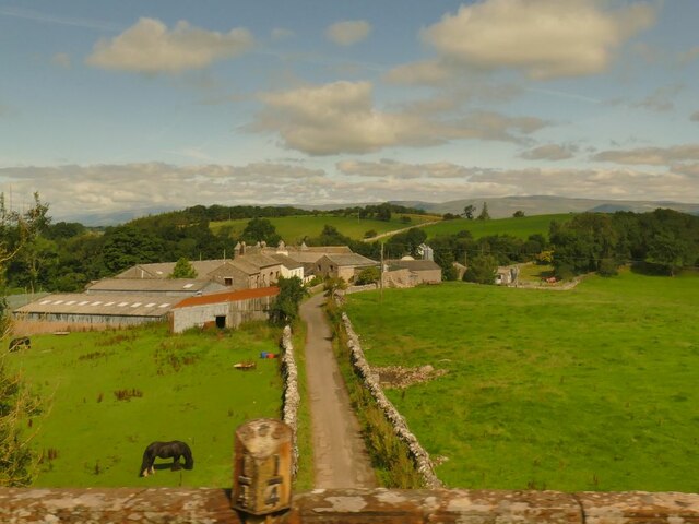
Castle Hill is a prominent hill located in the county of Westmorland, in the North West of England. Rising to an elevation of 998 feet (304 meters), it stands as a significant landmark in the region. Situated near the charming village of Appleby-in-Westmorland, Castle Hill offers breathtaking views of the surrounding countryside.
The hill takes its name from the remains of a medieval motte-and-bailey castle that once stood on its summit. These ancient ruins provide a glimpse into the area's rich history and are a popular attraction for history enthusiasts and archaeology lovers.
Castle Hill is a favorite spot for hikers and nature enthusiasts, with several trails leading to its peak. The ascent can be challenging but is rewarded with stunning panoramic vistas of the Eden Valley and the rolling hills of Westmorland. On clear days, it is even possible to see the distant Lake District fells.
The hill is covered in lush green grass and is home to a variety of wildlife, including rabbits, hares, and various bird species. The surrounding area also features a diverse range of flora, with wildflowers and heather adding pops of color to the landscape.
Visitors to Castle Hill can enjoy picnicking, photography, or simply basking in the tranquility of the surroundings. The hill's accessibility and natural beauty make it a popular destination for locals and tourists alike, providing a peaceful retreat from the hustle and bustle of everyday life.
If you have any feedback on the listing, please let us know in the comments section below.
Castle Hill Images
Images are sourced within 2km of 54.46967/-2.3761977 or Grid Reference NY7508. Thanks to Geograph Open Source API. All images are credited.


![Romano-British settlement and associated field system at Waitby Intake For more info. see Heritagegateway.org.uk. (2018). List Entry Number: 1018064. [online] Available at: <span class="nowrap"><a title="https://www.heritagegateway.org.uk/Gateway/Results_Single.aspx?uid=1018064&amp;resourceID=5" rel="nofollow ugc noopener" href="https://www.heritagegateway.org.uk/Gateway/Results_Single.aspx?uid=1018064&amp;resourceID=5">Link</a><img style="margin-left:2px;" alt="External link" title="External link - shift click to open in new window" src="https://s1.geograph.org.uk/img/external.png" width="10" height="10"/></span> [Accessed 26 Jun. 2022].](https://s0.geograph.org.uk/geophotos/07/21/03/7210332_c411505d.jpg)


Castle Hill is located at Grid Ref: NY7508 (Lat: 54.46967, Lng: -2.3761977)
Administrative County: Cumbria
District: Eden
Police Authority: Cumbria
What 3 Words
///format.degrading.commands. Near Kirkby Stephen, Cumbria
Nearby Locations
Related Wikis
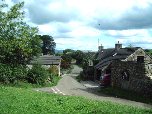
Waitby
Waitby is a small village and civil parish in the Eden district of Cumbria, England. The parish contains two small villages, Waitby and Smardale, plus...

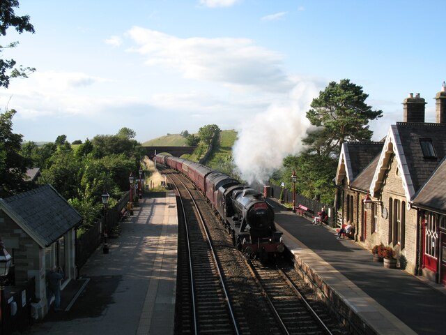
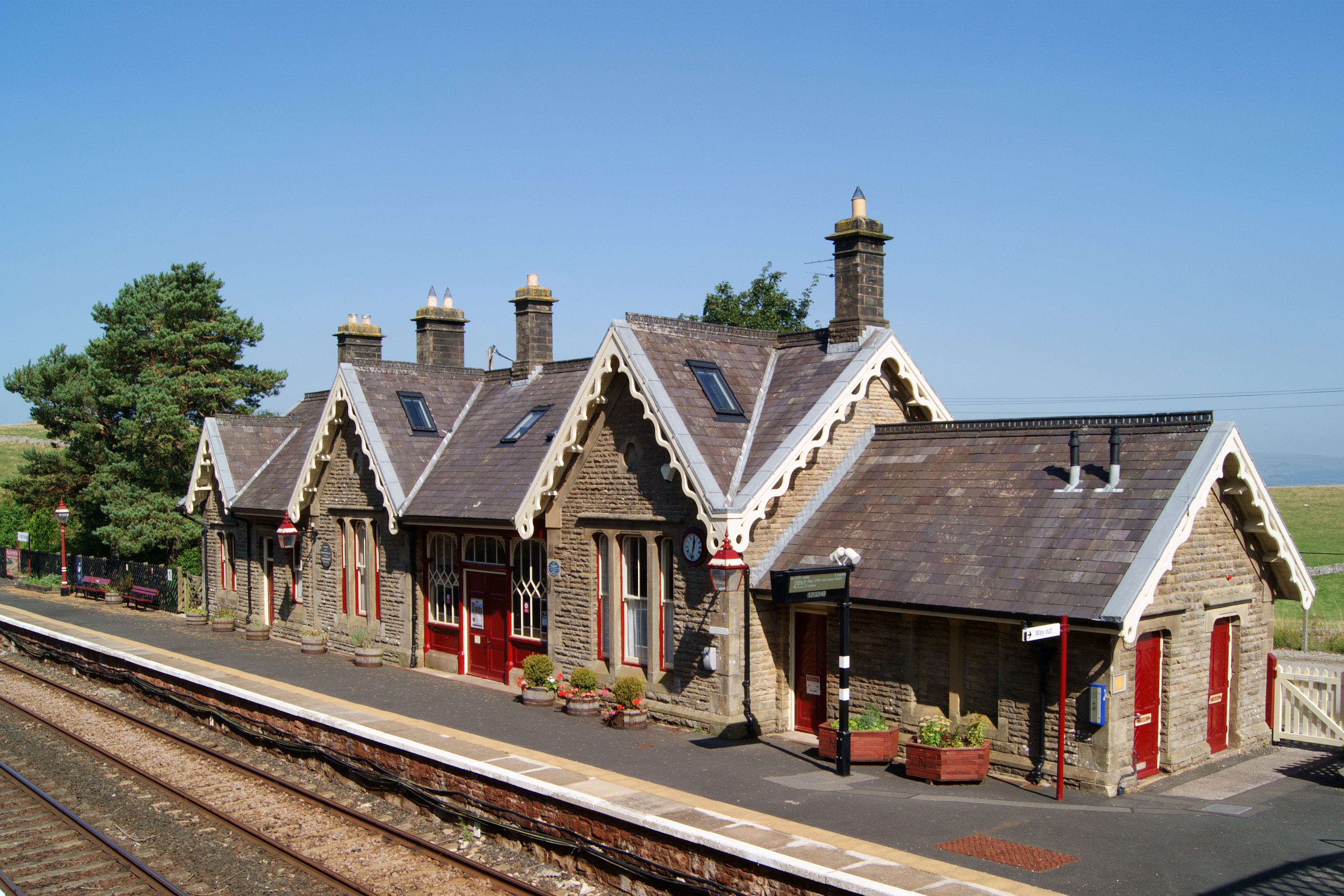
Kirkby Stephen East railway station
Kirkby Stephen East railway station was situated on the South Durham & Lancashire Union Railway (known as the Stainmore Line) between Barnard Castle and...
Kirkby Stephen Grammar School
Kirkby Stephen Grammar School is a coeducational secondary school. It is an Academy and has a sixth form. It is located in Kirkby Stephen in the English...
Smardale railway station
Smardale railway station was a minor station on the South Durham & Lancashire Union Railway between Tebay and Kirkby Stephen East. It served the villages...
Kirkby Stephen railway station
Kirkby Stephen is a railway station in Eden in Cumbria, England, on the Settle and Carlisle Line, which runs between Carlisle and Leeds via Settle. The...
Smardale
Smardale is a small village and former civil parish, now in the parish of Waitby, in the Eden district, in Cumbria, England. In 1891 the parish had a population...

Devil's Grinding Mill
The Devil's Grinding Mill, sometimes known as the Devil's Hole, is part of The Angel's Drainpipe, a partially collapsed cave system on the River Eden in...
Stainmore Railway Company
Stainmore Railway Company is a volunteer-run, non-profit preservation company formed in 2000 with the aim of restoring Kirkby Stephen East railway station...
Nearby Amenities
Located within 500m of 54.46967,-2.3761977Have you been to Castle Hill?
Leave your review of Castle Hill below (or comments, questions and feedback).