Denny Hill
Hill, Mountain in Gloucestershire Forest of Dean
England
Denny Hill

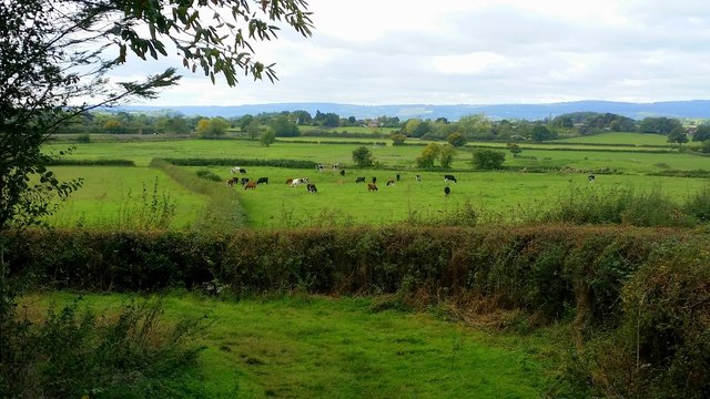
Denny Hill is a prominent hill located in the county of Gloucestershire, England. Situated near the town of Dursley, it forms part of the Cotswold Hills, a designated Area of Outstanding Natural Beauty. Rising to an elevation of approximately 195 meters (640 feet), Denny Hill offers stunning panoramic views of the surrounding countryside.
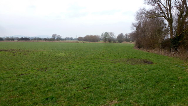
The hill is characterized by its gently sloping sides, covered in lush green grass and scattered with various species of trees, such as oak and beech. The landscape is dotted with picturesque stone walls and hedgerows, which add to the charm of the area. The hill is also home to a variety of wildlife, including rabbits, foxes, and numerous species of birds.
Denny Hill is a popular destination for outdoor enthusiasts and nature lovers. It offers several walking trails and footpaths that lead to the summit, allowing visitors to explore the hill at their own pace. The ascent is relatively easy, making it accessible to people of all fitness levels.
At the top of the hill, visitors are rewarded with breathtaking views of the surrounding Gloucestershire countryside. On a clear day, it is possible to see as far as the Severn Estuary and the distant Welsh mountains. The hilltop also provides an ideal spot for picnics, offering a peaceful and tranquil setting to relax and enjoy the natural beauty.
Overall, Denny Hill in Gloucestershire is a beautiful and serene location, offering visitors a chance to immerse themselves in the stunning landscapes and enjoy a peaceful escape from the hustle and bustle of everyday life.
If you have any feedback on the listing, please let us know in the comments section below.
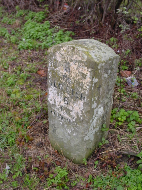
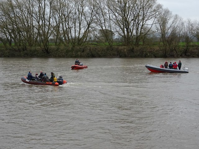
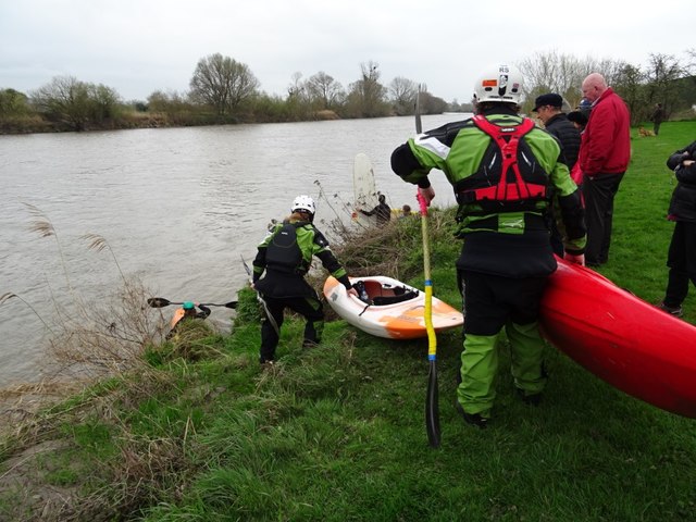
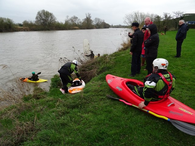
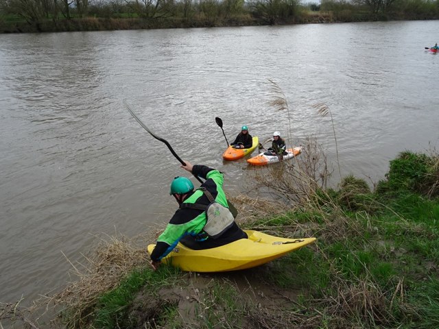
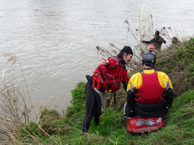
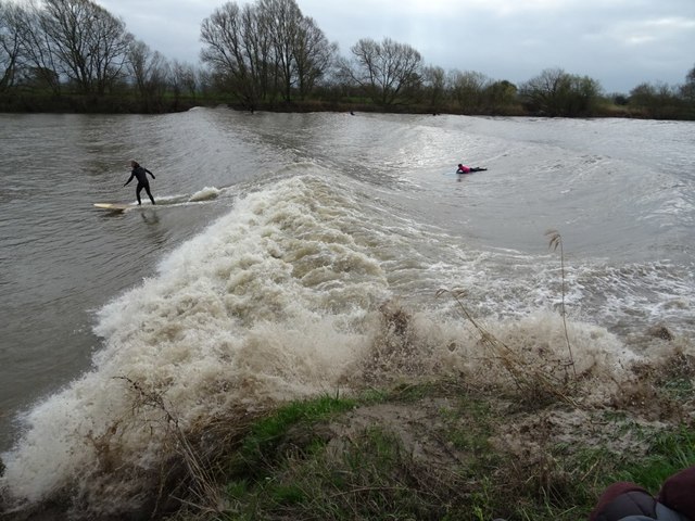
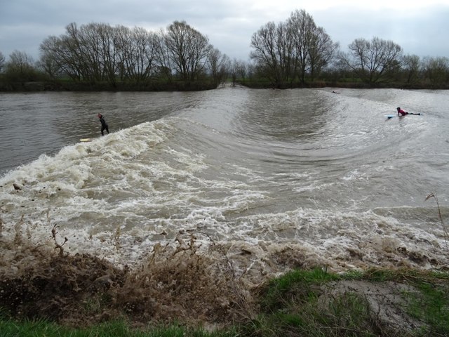
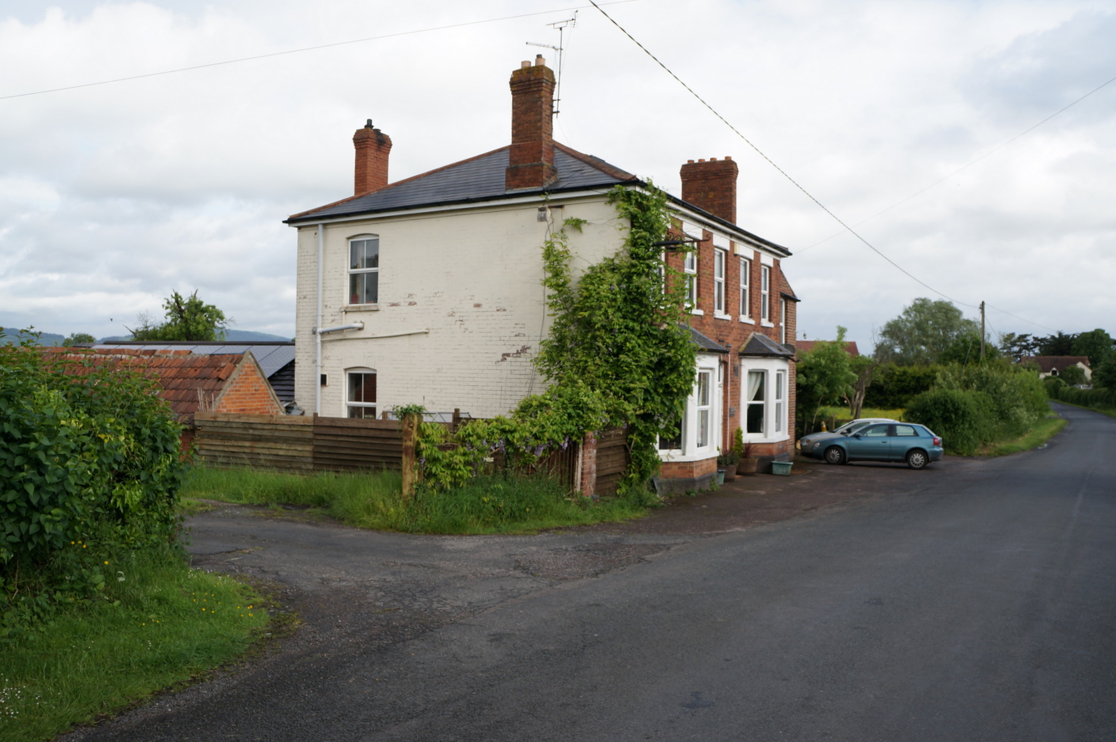
Denny Hill Images
Images are sourced within 2km of 51.846825/-2.3540572 or Grid Reference SO7516. Thanks to Geograph Open Source API. All images are credited.


Denny Hill is located at Grid Ref: SO7516 (Lat: 51.846825, Lng: -2.3540572)
Administrative County: Gloucestershire
District: Forest of Dean
Police Authority: Gloucestershire
What 3 Words
///stag.etchings.wimp. Near Huntley, Gloucestershire
Nearby Locations
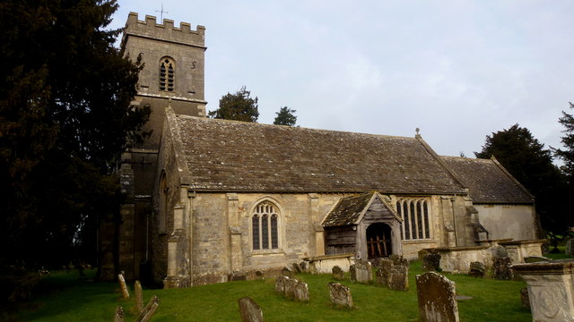
Related Wikis
Oakle Street
Oakle Street is a village in Gloucestershire, England. == External links == Media related to Oakle Street at Wikimedia Commons Churcham Village Website...

Oakle Street railway station
Oakle Street railway station served the village of Oakle Street, Gloucestershire, England from 1851 to 1964 on the Gloucester-Newport line. == History... ==

Severn bore
The Severn bore is a tidal bore seen on the tidal reaches of the River Severn in south western England. It is formed when the rising tide moves into the...

Minsterworth
Minsterworth is a village in Gloucestershire, England. It lies on the border of the City of Gloucester, on the north bank of the River Severn (effectively...

Walmore Common
Walmore Common (grid reference SO740162 & grid reference SO745150) is a 57.78-hectare (142.8-acre) nature reserve on the flood-plain of the River Severn...

Churcham
Churcham is a small village and civil parish in the Forest of Dean District of Gloucestershire in England, located 4 miles (6.4 km) west of Gloucester...

School of the Lion
The School of the Lion was an independent school based in Churcham, Gloucestershire. The school was founded in by 1987 by a group of Gloucestershire-based...

Grange Court railway station
Grange Court railway station was a junction station on the South Wales Railway in Gloucestershire (on the present day Gloucester to Newport Line) where...
Nearby Amenities
Located within 500m of 51.846825,-2.3540572Have you been to Denny Hill?
Leave your review of Denny Hill below (or comments, questions and feedback).