Abbey Hill (Inner)

Hill, Mountain in Berwickshire

Scotland

Abbey Hill (Inner)

Upland pastures in the Scottish Borders South of Abbey St Bathans and west of Preston. The nearest is grass with White Clover. The 'peak' beyond is Cockburn Law.
Upland pastures in the Scottish Borders Credit: M J Richardson

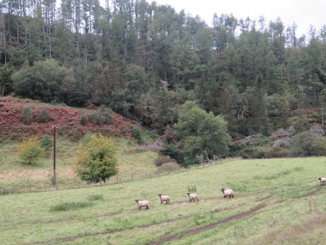
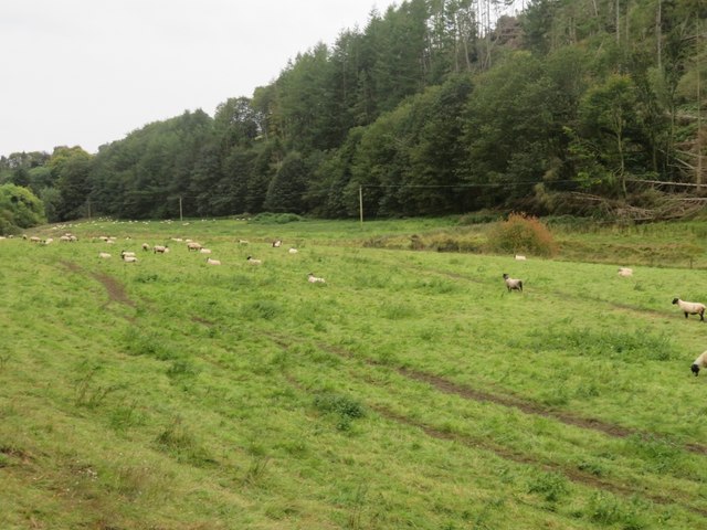
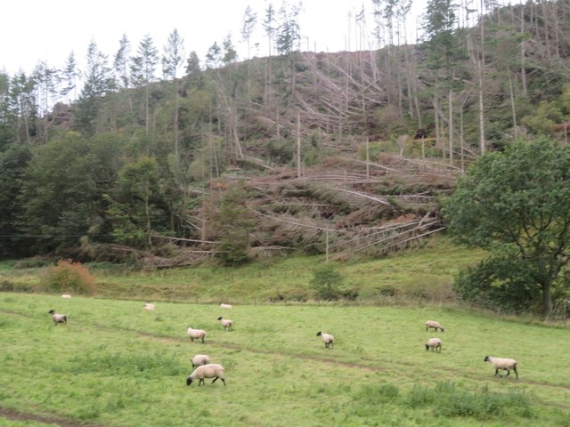
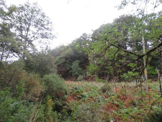
Abbey Hill, located in Berwickshire, Scotland, is an impressive hill or small mountain that stands as a prominent feature of the Inner Abbey landscape. Rising to an elevation of approximately 280 meters (918 feet), Abbey Hill offers breathtaking panoramic views of the surrounding countryside.

The hill is part of the Cheviot Hills range, known for its stunning natural beauty and rich history. Abbey Hill itself is home to the well-preserved remains of a medieval abbey, adding historical significance to its already captivating allure.

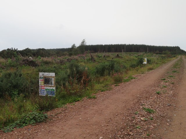
The summit of Abbey Hill is easily accessible through a network of well-maintained hiking trails, making it a popular destination for outdoor enthusiasts and nature lovers. The trails offer a variety of difficulty levels, ensuring that visitors of all ages and fitness levels can enjoy the experience.

As one ascends Abbey Hill, they are treated to breathtaking vistas of rolling green fields, picturesque villages, and the sparkling waters of the nearby rivers. The hill is also known for its diverse flora and fauna, with wildflowers blooming in the spring and various bird species nesting in the surrounding trees.

Abbey Hill is not only a haven for nature enthusiasts but also a place of cultural and historical significance. The remains of the medieval abbey provide a glimpse into the region's past, offering visitors a chance to imagine what life was like centuries ago.

Overall, Abbey Hill in Berwickshire is a must-visit destination for those seeking natural beauty, outdoor adventure, and a touch of history.

If you have any feedback on the listing, please let us know in the comments section below.

Abbey Hill (Inner) Images

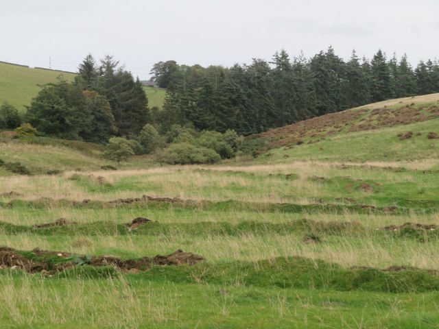
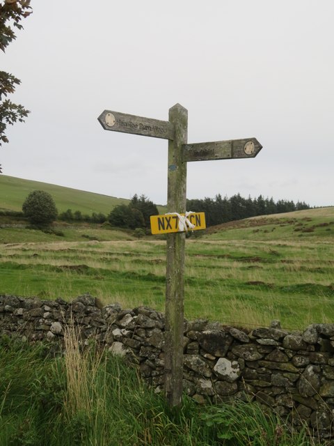
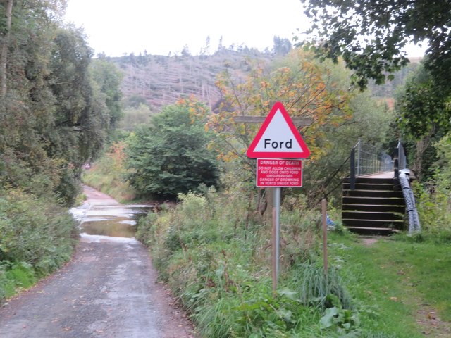
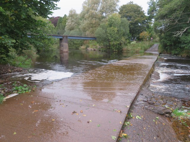
Images are sourced within 2km of 55.843771/-2.3906592 or Grid Reference NT7561. Thanks to Geograph Open Source API. All images are credited.
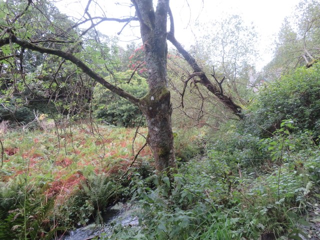
Upland pastures in the Scottish Borders South of Abbey St Bathans and west of Preston. The nearest is grass with White Clover. The 'peak' beyond is Cockburn Law.
Upland pastures in the Scottish Borders
South of Abbey St Bathans and west of Preston. The nearest is grass with White Clover. The 'peak' beyond is Cockburn Law.
Upland pasture in The Scottish Borders With some pig arks in the distance.
Upland pasture in The Scottish Borders
With some pig arks in the distance.
Sheep pasture near Abbey St Bathans By the Monynut Water, with Millbrae Wood beyond.
Sheep pasture near Abbey St Bathans
By the Monynut Water, with Millbrae Wood beyond.
Pasture by the Monynut Water With the Millbrae Wood conifer plantation across the river.
Pasture by the Monynut Water
With the Millbrae Wood conifer plantation across the river.
Windthrow in Millbrae Wood Storm damage by the Monynut Burn.
Windthrow in Millbrae Wood
Storm damage by the Monynut Burn.
Forestry track to Hen Toe Burn Wood Information notice about forestry operations; a large area is being cleared.
Forestry track to Hen Toe Burn Wood
Information notice about forestry operations; a large area is being cleared.
The valley of Eller Burn The rough grassland in the foreground has been deeply ploughed with a single furrow at wide intervals - possibly to alter drainage?
The valley of Eller Burn
The rough grassland in the foreground has been deeply ploughed with a single furrow at wide intervals - possibly to alter drainage?
Footpath sign near Hen Toe Bridge A Duns footpath - left to Hen Toe Burn Wood and right to Windshiel. And a found number plate to be retrieved.
Footpath sign near Hen Toe Bridge
A Duns footpath - left to Hen Toe Burn Wood and right to Windshiel. And a found number plate to be retrieved.
Ford and footbridge at Abbey St Bathans Crossing the Otter Burn.
Ford and footbridge at Abbey St Bathans
Crossing the Otter Burn.
Ford at Abbey St Bathans With a footbridge, crossing the Otter Burn.
Ford at Abbey St Bathans
With a footbridge, crossing the Otter Burn.
The valley of the Whare Burn Dense vegetation in the valley and woodland on either side. Looking downstream.
The valley of the Whare Burn
Dense vegetation in the valley and woodland on either side. Looking downstream.
The valley of the Whare Burn Dense vegetation in the valley and woodland on either side. Looking upstream.
The valley of the Whare Burn
Dense vegetation in the valley and woodland on either side. Looking upstream.
Bramble leaves with rust There are two species of fungus that infect Bramble leaves [Rubus fruticosus]. Spore details are needed to distinguish them. The leaf I collected did not make it home, so it has to be Phragmidium sp. On a trackside near Hen Toe Burn Wood, Abbey St Bathans.
Bramble leaves with rust
There are two species of fungus that infect Bramble leaves [Rubus fruticosus]. Spore details are needed to distinguish them. The leaf I collected did not make it home, so it has to be Phragmidium sp. On a trackside near Hen Toe Burn Wood, Abbey St Bathans.
Happy Grotesque Is it still a grotesque if it is smiling? - a grotesque is a carved animal or human attached to a building that is merely decorative and does not serve any other function.
A Gargoyle is carved animal or human attached to a building that acts as a water spout.
<span class="nowrap"><a title="https://grammarist.com/usage/gargoyle-or-grotesque/" rel="nofollow ugc noopener" href="https://grammarist.com/usage/gargoyle-or-grotesque/">Link</a><img style="margin-left:2px;" alt="External link" title="External link - shift click to open in new window" src="https://s1.geograph.org.uk/img/external.png" width="10" height="10"/></span>
On the side of a house just north of Abbey St Bathans on the Southern Upland Way.
Happy Grotesque
Is it still a grotesque if it is smiling? - a grotesque is a carved animal or human attached to a building that is merely decorative and does not serve any other function. A Gargoyle is carved animal or human attached to a building that acts as a water spout. LinkExternal link On the side of a house just north of Abbey St Bathans on the Southern Upland Way.
Ford in Flood Ford across the Whiteadder Water at Abbey St. Bathans with a tad more water flowing across than this picture taken in September:-
<a title="https://www.geograph.org.uk/photo/7612400" href="https://www.geograph.org.uk/photo/7612400">Link</a>
Ford in Flood
Ford across the Whiteadder Water at Abbey St. Bathans with a tad more water flowing across than this picture taken in September:- Link
Southern Upland Way Soggy conditions underfoot on the Southern Upland Way just north of Abbey St. Bathans in the Scottish Borders.
Southern Upland Way
Soggy conditions underfoot on the Southern Upland Way just north of Abbey St. Bathans in the Scottish Borders.
Abbey Kirk and part of its burial ground, Abbey St Bathans Viewed from the southeast.
Abbey Kirk and part of its burial ground, Abbey St Bathans
Viewed from the southeast.
Whiteadder Water and ford at Abbey St Bathans Looking south-eastward,
Whiteadder Water and ford at Abbey St Bathans
Looking south-eastward,
Show me another place!

Abbey Hill (Inner) is located at Grid Ref: NT7561 (Lat: 55.843771, Lng: -2.3906592)

Unitary Authority: The Scottish Borders

Police Authority: The Lothians and Scottish Borders

What 3 Words

///nylon.evolution.building. Near Duns, Scottish Borders

Related Wikis

Abbey St Bathans

Abbey St Bathans (Scottish Gaelic: Abaid Bhaoithin) is a parish in the Lammermuir district of Berwickshire, in the eastern part of the Scottish Borders...

Cockburn Tower

Cockburn Tower was a small fortified house in Berwickshire, Scotland. Now little more than the outline of a foundation, it occupied a site on the southern...

Dye Water

The Dye Water (Scottish Gaelic: Uisge DhĂ idh) is a river in the Lammermuir Hills in the Scottish Borders area of Scotland. It rises in the Hope Hills,...

Preston, Scottish Borders

Preston is a small village in the ancient county of Berwickshire, now an administrative area of the Scottish Borders region of Scotland. It lies within...

Nearby Amenities

Located within 500m of 55.843771,-2.3906592
Abbey Hill
Ele: 278
Ele Ft: 913
Is In Country Code: GB
Is In County: Scottish Borders
Is In Historic County: Berwickshire
Man Made: survey_point
Natural: peak
Source: NPE
Wikidata: Q3777601
Wikipedia: en:Abbey St Bathans
Lat/Long: 55.8441656/-2.3903966
The data included in this document is from www.openstreetmap.org. The data is made available under ODbL.

Have you been to Abbey Hill (Inner)?

Leave your review of Abbey Hill (Inner) below (or comments, questions and feedback).