Droop Hill
Hill, Mountain in Kincardineshire
Scotland
Droop Hill
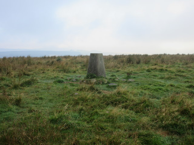
Droop Hill is a prominent hill located in Kincardineshire, a historic county in northeastern Scotland. Situated within the Grampian Mountains, Droop Hill stands at an impressive height of approximately 570 meters (1,870 feet) above sea level, making it one of the notable peaks in the region.
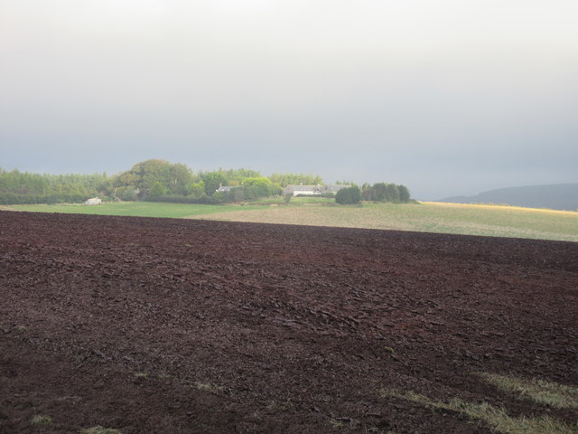
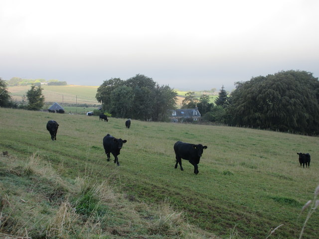
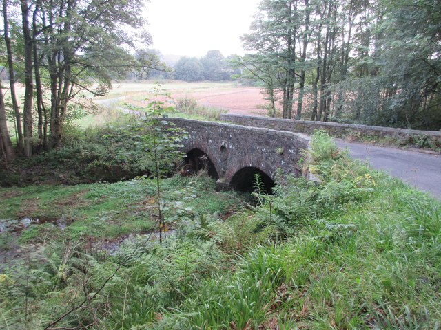
The hill is known for its picturesque surroundings, offering breathtaking panoramic views of the surrounding countryside. On a clear day, visitors can enjoy stunning vistas of the rolling hills, lush green valleys, and sparkling rivers that adorn the landscape. The summit of Droop Hill provides an excellent vantage point, allowing observers to admire the natural beauty of the area.
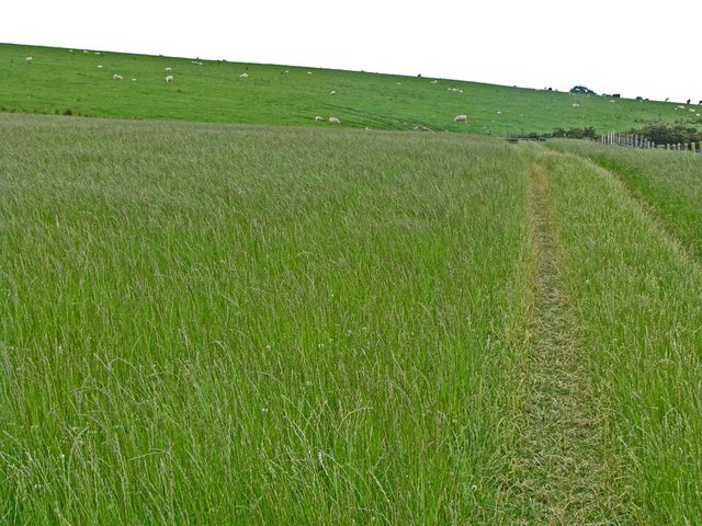
Droop Hill is a popular destination for outdoor enthusiasts, hikers, and nature lovers. Several trails wind through the hill, providing opportunities for leisurely walks, challenging hikes, and even mountain biking. The diverse flora and fauna found in the vicinity of Droop Hill add to its allure, with a variety of plant species, including heather and wildflowers, dotting the landscape.
In addition to its natural beauty, Droop Hill also holds historical significance. The surrounding area is rich in archaeological sites, and remnants of ancient settlements and burial grounds can be found in the vicinity. These historical relics provide insights into the region's past and offer a glimpse into the lives of the people who once inhabited the area.
Overall, Droop Hill in Kincardineshire is a captivating destination that combines natural beauty, outdoor activities, and historical intrigue. Whether one seeks a peaceful hike, a scenic viewpoint, or a journey into the past, Droop Hill offers an experience that is both enriching and fulfilling.
If you have any feedback on the listing, please let us know in the comments section below.
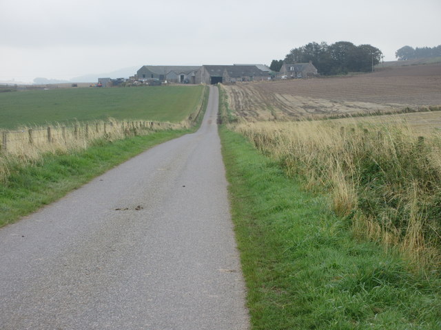
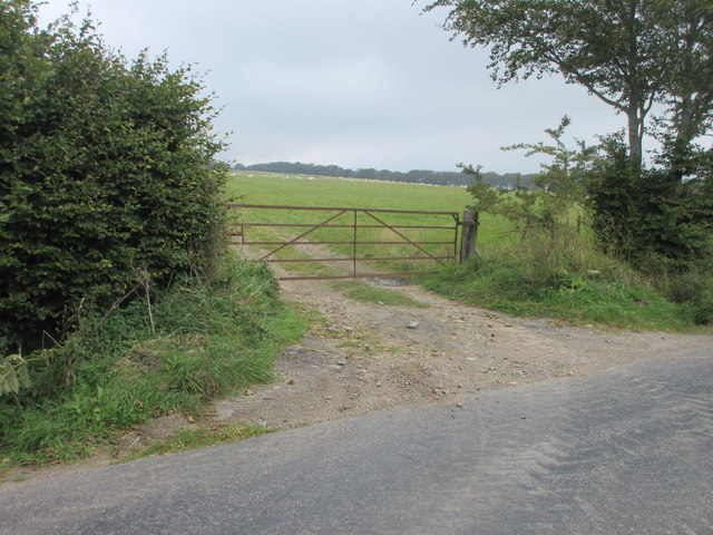
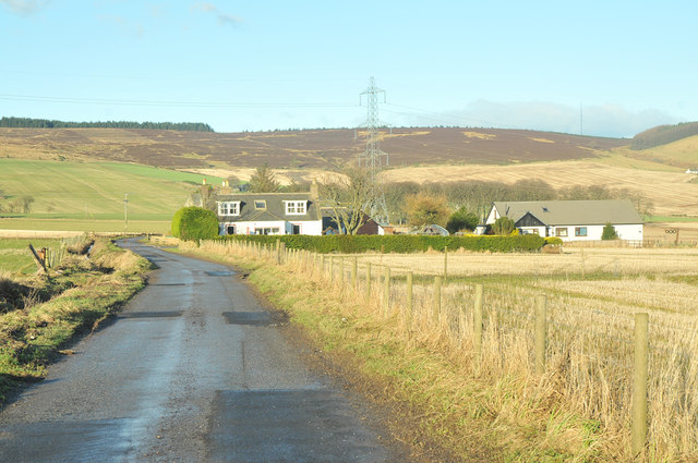
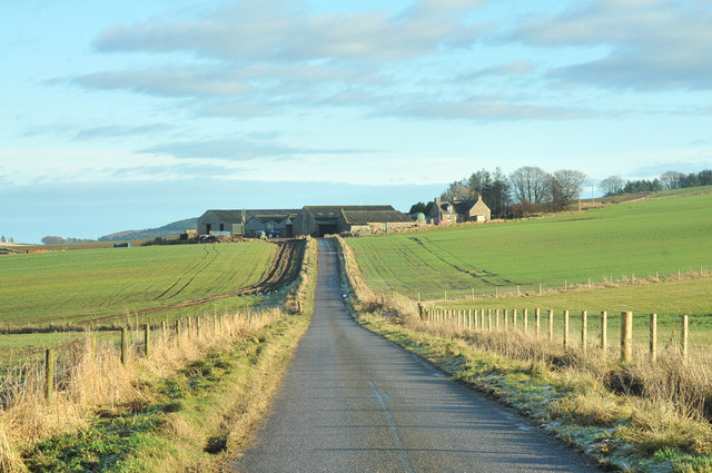
Droop Hill Images
Images are sourced within 2km of 56.924388/-2.402839 or Grid Reference NO7581. Thanks to Geograph Open Source API. All images are credited.


Droop Hill is located at Grid Ref: NO7581 (Lat: 56.924388, Lng: -2.402839)
Unitary Authority: Aberdeenshire
Police Authority: North East
What 3 Words
///harshest.gurgled.rate. Near Laurencekirk, Aberdeenshire
Nearby Locations
Related Wikis

Droop Hill
Droop Hill is a mountain landform in the Kincardine and Mearns region of Aberdeenshire, Scotland. The locale had been featured in a windfarm proposal...

Glenbervie
Glenbervie (Scottish Gaelic: Gleann Biorbhaidh) is located in the north east of Scotland in the Howe o' the Mearns, one mile from the village of Drumlithie...

Glenbervie House
Glenbervie House is a mansion house, which has incorporated parts of an earlier castle, located near Glenbervie, Kincardine and Mearns, Scotland. ��2...

Abbeyton Bridge
Abbeyton Bridge was a road bridge that carried the B966 road over the Dundee–Aberdeen line. == History == In June 2018, Aberdeenshire Council introduced...

Drumlithie
Drumlithie is a village in the Howe of the Mearns in southern Aberdeenshire, Scotland. Situated seven miles south of Stonehaven in the parish of Glenbervie...
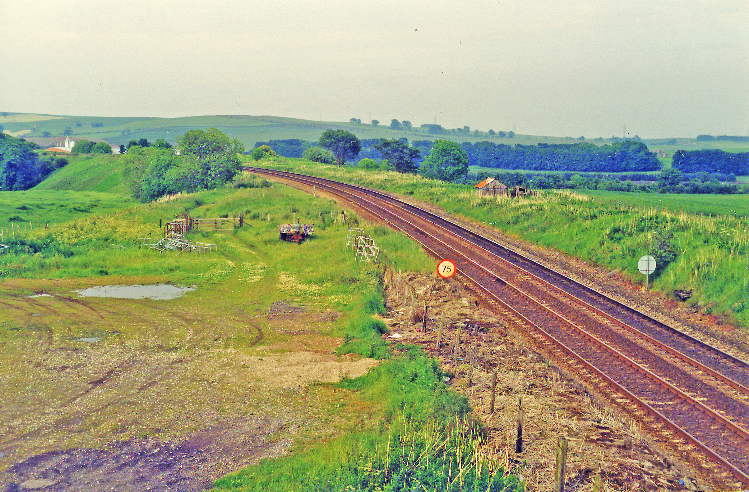
Drumlithie railway station
Drumlithie railway station served the village of Drumlithie, Aberdeenshire, Scotland from 1849 to 1956 on the Aberdeen Railway. == History == The station...

Carmont railway station
Carmont railway station, on the Aberdeen Railway, served the rural area of Carmont in Aberdeenshire, Scotland from 1855 to 1964. == History == The station...
Bogjurgan Hill
Bogjurgan Hill is an elevated landform at the southern verge of the Fetteresso Forest in Aberdeenshire, Scotland. Its top is at an elevation of 299 metres...
Nearby Amenities
Located within 500m of 56.924388,-2.402839Have you been to Droop Hill?
Leave your review of Droop Hill below (or comments, questions and feedback).