West Horse Hill

Hill, Mountain in Northumberland

England

West Horse Hill

Green Bothy A basic shelter maintained by volunteers of the Mountain Bothies Association with permission of the landowner.
Green Bothy Credit: Booga

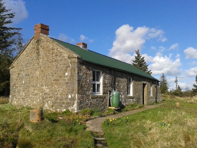
West Horse Hill is a prominent hill located in the county of Northumberland, England. Standing at an elevation of approximately 266 meters (873 feet), it is part of the stunning Cheviot Hills range. This hill is situated about 10 kilometers west of Wooler, a small market town in Northumberland.

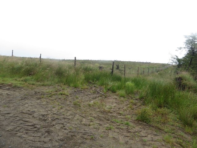
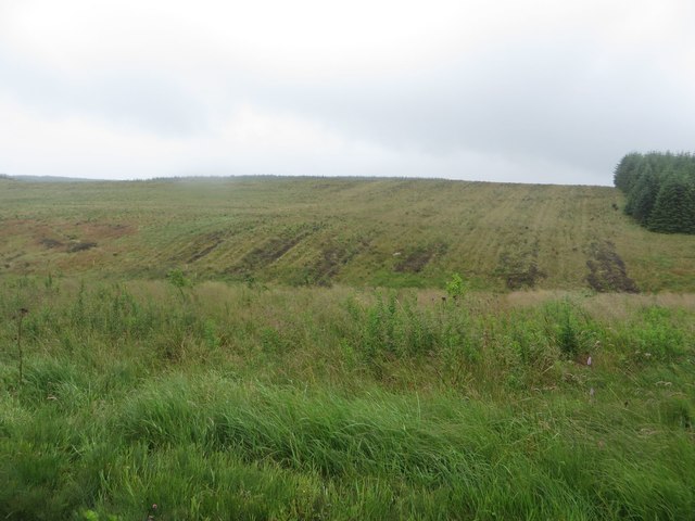
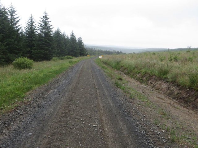
West Horse Hill offers breathtaking panoramic views of the surrounding countryside, making it a popular destination for outdoor enthusiasts and nature lovers. On a clear day, visitors can admire the rolling hills, lush green fields, and picturesque valleys that stretch out as far as the eye can see. The hill's summit provides an ideal vantage point for taking in the beauty of the Northumberland National Park, which encompasses the area.

Although not particularly challenging in terms of ascent, the hill is still a favorite spot for hikers and walkers. Its gentle slopes and well-defined trails make it accessible to people of various fitness levels. Additionally, the area is home to an abundance of wildlife, including various bird species and small mammals, making it a haven for birdwatchers and wildlife enthusiasts.

West Horse Hill has historical significance as well. The remains of ancient settlements and burial sites have been discovered in the vicinity, indicating human habitation in the area dating back thousands of years. These archaeological finds add an extra layer of intrigue and interest to the hill.

Overall, West Horse Hill offers a serene and picturesque setting, making it a must-visit destination for those seeking natural beauty and tranquility in Northumberland.

If you have any feedback on the listing, please let us know in the comments section below.

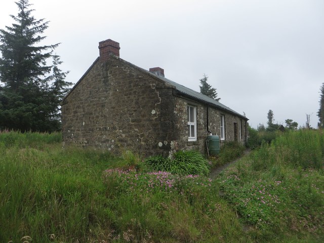
West Horse Hill Images

Images are sourced within 2km of 55.102305/-2.3844868 or Grid Reference NY7578. Thanks to Geograph Open Source API. All images are credited.

Green Bothy A basic shelter maintained by volunteers of the Mountain Bothies Association with permission of the landowner.
Green Bothy
A basic shelter maintained by volunteers of the Mountain Bothies Association with permission of the landowner.
Boundary between blocks of Wark Forest The boundary between two of the blocks of the large Wark Forest is marked by a gap in the planting and a deer fence which is protecting the area on the left.
Boundary between blocks of Wark Forest
The boundary between two of the blocks of the large Wark Forest is marked by a gap in the planting and a deer fence which is protecting the area on the left.
Treeless area in Wark Forest Park of Wark Forest which is currently devoid of trees.
Treeless area in Wark Forest
Park of Wark Forest which is currently devoid of trees.
Forest track east of Watch Hill A forest track to the east of Watch Hill.
Forest track east of Watch Hill
A forest track to the east of Watch Hill.
Forest operations warning signs Signs either side of a forest track. The area ahead is being prepared in advance of a large block of the plantation being felled.
Forest operations warning signs
Signs either side of a forest track. The area ahead is being prepared in advance of a large block of the plantation being felled.
Track junction near Moneyrees Stell A junction of forestry tracks near Moneyrees Stell in Wark Forest.
Track junction near Moneyrees Stell
A junction of forestry tracks near Moneyrees Stell in Wark Forest.
Forest track near Moneyrees Stell A forest track passing Moneyrees Stell. The trees on the left of the photo are scheduled to be felled in the 2nd half of 2017 according to signs beside the track.
Forest track near Moneyrees Stell
A forest track passing Moneyrees Stell. The trees on the left of the photo are scheduled to be felled in the 2nd half of 2017 according to signs beside the track.
Forest track south of Green Looking along a forest track through Wark Forest, to the south of Green. The trees on the right of the photo are scheduled to be felled in the near future.
Forest track south of Green
Looking along a forest track through Wark Forest, to the south of Green. The trees on the right of the photo are scheduled to be felled in the near future.
Bothy at Green An isolated bothy amongst the innumerable trees of Wark Forest.
Bothy at Green
An isolated bothy amongst the innumerable trees of Wark Forest.
Track junction, Wark Forest A track junction in Wark Forest. The divergent track leads to an area of the forest which has seen extensive clear felling in recent years.
Track junction, Wark Forest
A track junction in Wark Forest. The divergent track leads to an area of the forest which has seen extensive clear felling in recent years.
Collecting timber, Wark Forest A timber lorry arriving beside a large pile of cut logs before loading and leading them away for processing.
Collecting timber, Wark Forest
A timber lorry arriving beside a large pile of cut logs before loading and leading them away for processing.
Gate at the edge of the forest A gate at end of the forest track through Wark Forest. The side nearest the camera is a public road, beyond the cattle grid is a forest track.
Gate at the edge of the forest
A gate at end of the forest track through Wark Forest. The side nearest the camera is a public road, beyond the cattle grid is a forest track.
Forest track near Fairgrass Hill The forest track in Wark Forest which leads from Pundershaw to Blackaburn Lough.
Forest track near Fairgrass Hill
The forest track in Wark Forest which leads from Pundershaw to Blackaburn Lough.
Forest track at Blackaburn Lough The forestry commission track in Wark Forest that passes the large lake of Blackaburn Lough.
Forest track at Blackaburn Lough
The forestry commission track in Wark Forest that passes the large lake of Blackaburn Lough.
Skipjack lodge, Blackaburn Lough A wooden lodge on the shore of Blackaburn Lough in Wark Forest.
Skipjack lodge, Blackaburn Lough
A wooden lodge on the shore of Blackaburn Lough in Wark Forest.
Grassy forest track west of Blackaburn Lough A forest track within Wark Forest which still retains a grassy surface between a pair or wheel ruts.
Grassy forest track west of Blackaburn Lough
A forest track within Wark Forest which still retains a grassy surface between a pair or wheel ruts.
Young trees, Greenside A dense block of young trees to the east of Greenside hill.
Young trees, Greenside
A dense block of young trees to the east of Greenside hill.
Forest track, Greenside A forest track in Wark Forest between blocks of densely planted trees.
Forest track, Greenside
A forest track in Wark Forest between blocks of densely planted trees.
Show me another place!

West Horse Hill is located at Grid Ref: NY7578 (Lat: 55.102305, Lng: -2.3844868)

Unitary Authority: Northumberland

Police Authority: Northumbria

What 3 Words

///tweaked.unite.shortcuts. Near Bellingham, Northumberland

Nearby Locations

West Horse Hill

Related Wikis

Wark Forest

Wark Forest is the southern part of Kielder Forest in Northumberland, England. Wark Forest is found within the south-west tip of Northumberland National...
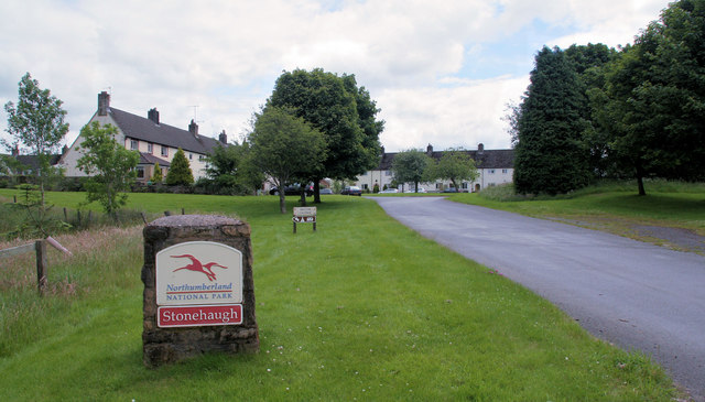
Stonehaugh

Stonehaugh is a small settlement in Northumberland about 5 miles (8 km) west of Wark on Tyne and 4 Roman miles (6 km) north of Hadrian's Wall. It was purpose...

Dally Castle

Dally Castle is a ruined 13th-century stone motte-and-bailey fortress in Northumberland, and one of the first hall houses in Northumberland. It lies 5...

Greystead

Greystead is a village and civil parish in Northumberland, England west of Bellingham. The population as of the 2011 census was less than 100. It shares...

Have you been to West Horse Hill?

Leave your review of West Horse Hill below (or comments, questions and feedback).