Hill of Ardin
Hill, Mountain in Aberdeenshire
Scotland
Hill of Ardin

The Hill of Ardin is a prominent geographical feature located in Aberdeenshire, Scotland. Rising to an elevation of approximately 322 meters (1056 feet), it is categorized as a hill rather than a mountain. The hill is situated near the village of Cairnie, about 7 kilometers (4.3 miles) southwest of Huntly.
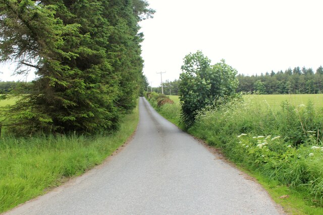
Hill of Ardin is characterized by its gently sloping sides and a rounded summit, which offers stunning panoramic views of the surrounding countryside. Its elevation and strategic location make it a popular destination for hikers, nature enthusiasts, and photographers.
The hill is predominantly covered in heather and grass, with scattered patches of woodland and shrubs. The area is also home to a diverse range of flora and fauna, including various species of birds, butterflies, and wildflowers. The hillside is often adorned with vibrant colors during spring and summer, attracting visitors keen to explore the natural beauty of the area.
Access to the Hill of Ardin is relatively straightforward, with several footpaths and tracks leading to the summit. These paths are well-maintained and suitable for walkers of all abilities. Additionally, there are numerous viewpoints along the way, allowing visitors to take in the breathtaking scenery as they ascend.
Whether it's for a leisurely stroll, a challenging hike, or simply to enjoy the tranquility of the Scottish countryside, Hill of Ardin provides an excellent opportunity to appreciate the natural wonders of Aberdeenshire.
If you have any feedback on the listing, please let us know in the comments section below.
Hill of Ardin Images
Images are sourced within 2km of 57.533771/-2.4124973 or Grid Reference NJ7549. Thanks to Geograph Open Source API. All images are credited.


Hill of Ardin is located at Grid Ref: NJ7549 (Lat: 57.533771, Lng: -2.4124973)
Unitary Authority: Aberdeenshire
Police Authority: North East
What 3 Words
///cycle.when.nicer. Near Turriff, Aberdeenshire
Nearby Locations
Related Wikis
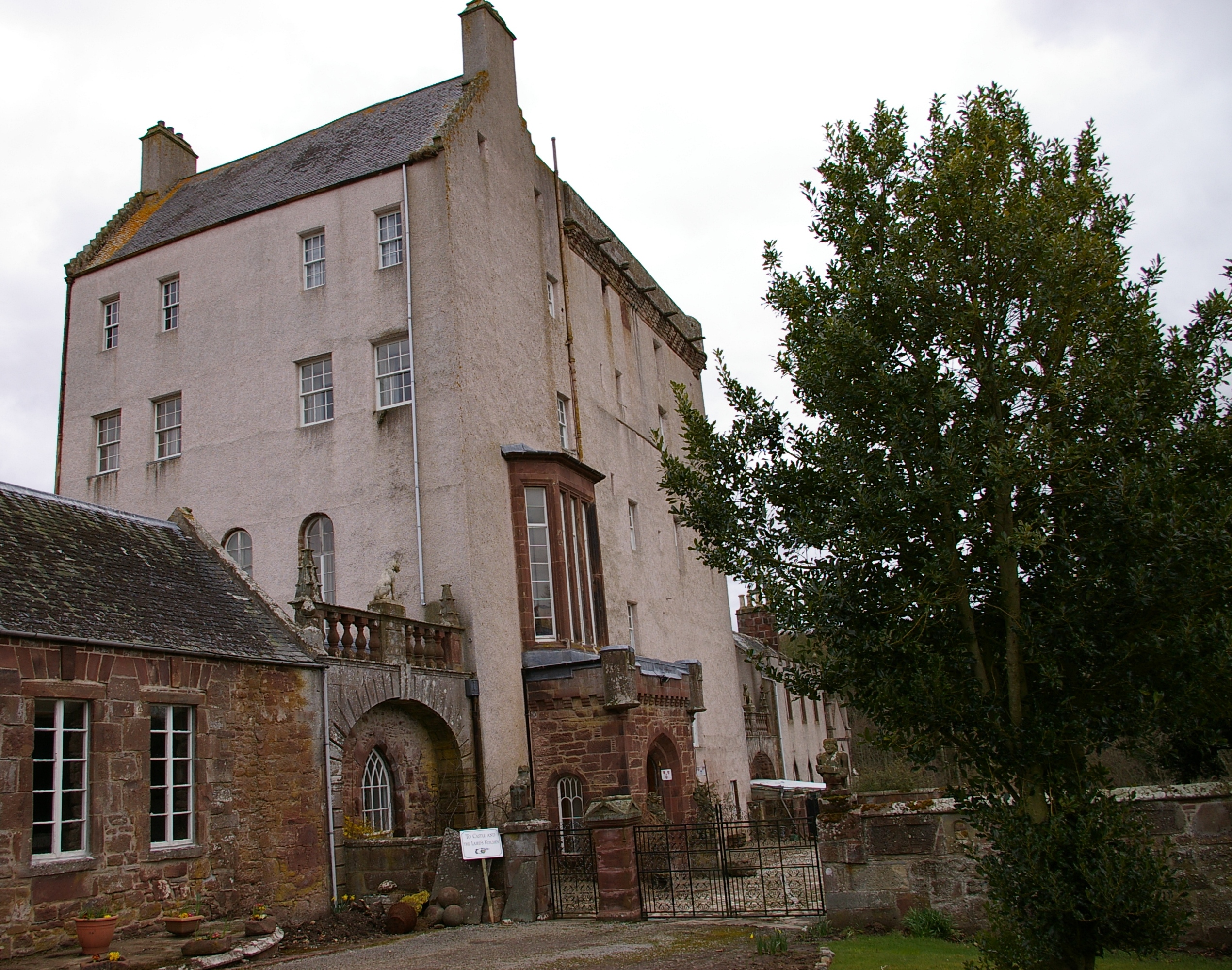
Delgatie Castle
Delgatie Castle is a castle near Turriff, in Aberdeenshire, Scotland. A castle has stood on the site of Delgatie Castle since the year 1030 AD, although...

Idoch Castle
Idoch Castle was a 14th-century castle about 3 miles (4.8 km) east of Turriff, Aberdeenshire Scotland, near Idoch Water, a tributary of the River Deveron...

Turriff Cottage Hospital
Turriff Cottage Hospital is a community hospital in Turriff, Aberdeenshire, Scotland. It is managed by NHS Grampian. == History == The hospital was designed...

Hatton Castle, Aberdeenshire
Hatton Castle is almost three miles (4.8 km) south-east of Turriff, Aberdeenshire in the north-east of Scotland. Formerly known as Balquholly Castle, sometimes...
Nearby Amenities
Located within 500m of 57.533771,-2.4124973Have you been to Hill of Ardin?
Leave your review of Hill of Ardin below (or comments, questions and feedback).