Castle Hill
Hill, Mountain in Westmorland Eden
England
Castle Hill
Castle Hill is a prominent hill located in the historic county of Westmorland, England. Rising to an elevation of approximately 371 meters (1,217 feet), it is part of the Pennines range in the northern region of the country. The hill is situated within the Yorkshire Dales National Park, offering breathtaking panoramic views of the surrounding countryside.
The name Castle Hill derives from the presence of an ancient hill fort, believed to have been constructed during the Iron Age, which once occupied the summit of the hill. Although no visible remains of the fortifications exist today, the site is of significant archaeological interest.
Castle Hill is a popular destination for outdoor enthusiasts, attracting hikers, walkers, and nature lovers alike. The hill is accessible via various footpaths, including a well-marked trail that leads to the summit. The ascent can be challenging in some sections, particularly for inexperienced hikers, but the reward is well worth the effort.
The hill is characterized by its rugged terrain, with rocky outcrops and grassy slopes dominating the landscape. Its location within the national park ensures a rich biodiversity, with a variety of flora and fauna thriving in the area. Visitors may encounter various bird species, including peregrine falcons and red kites, as well as wildflowers and heather during the warmer months.
Castle Hill offers a peaceful retreat from the bustling nearby towns and cities, providing a serene environment to connect with nature and enjoy the stunning vistas that Westmorland has to offer.
If you have any feedback on the listing, please let us know in the comments section below.
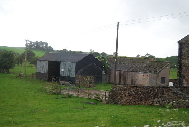
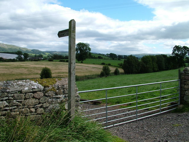
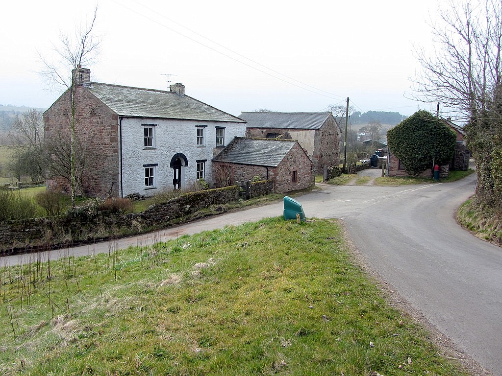
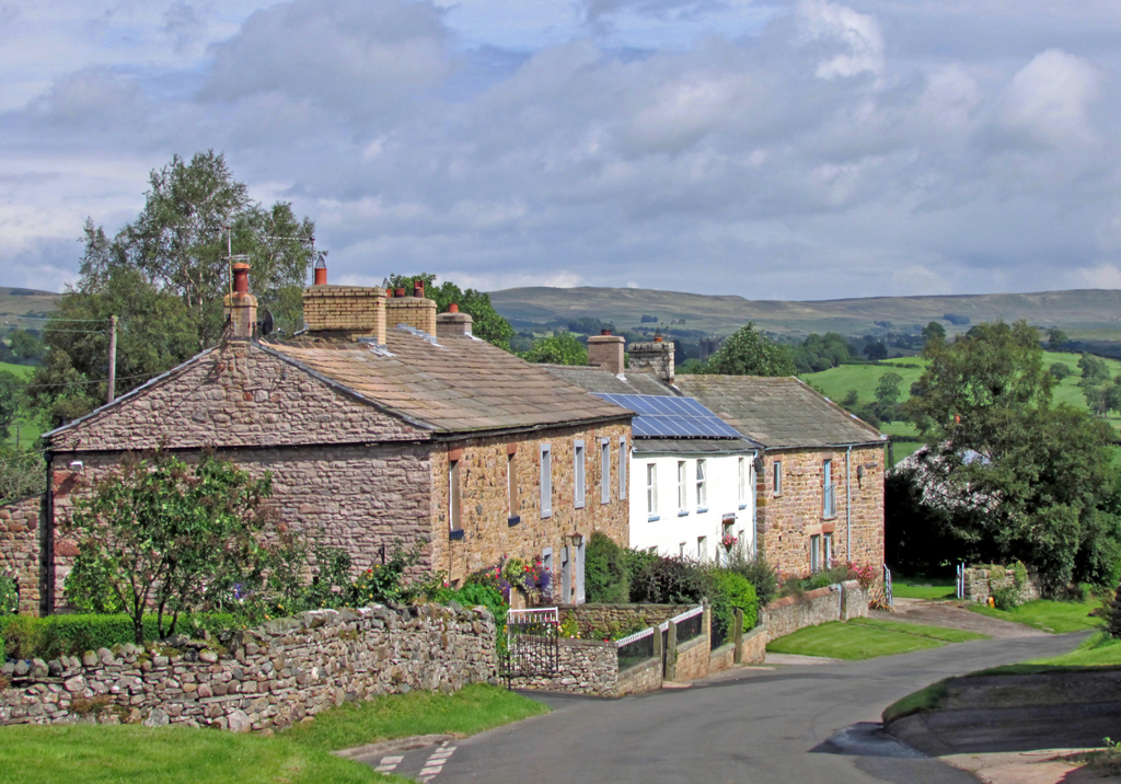
Castle Hill Images
Images are sourced within 2km of 54.533963/-2.3873131 or Grid Reference NY7515. Thanks to Geograph Open Source API. All images are credited.


Castle Hill is located at Grid Ref: NY7515 (Lat: 54.533963, Lng: -2.3873131)
Administrative County: Cumbria
District: Eden
Police Authority: Cumbria
What 3 Words
///soils.trembles.lawfully. Near Kirkby Stephen, Cumbria
Nearby Locations
Related Wikis

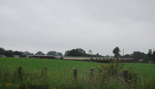
Warcop railway station
Warcop railway station was situated on the Eden Valley Railway between Penrith and Kirkby Stephen East. It served the village of Warcop. The station opened...
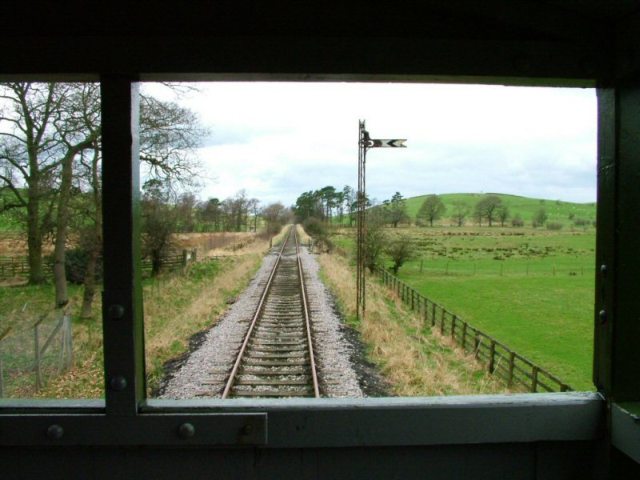
Eden Valley Railway (heritage railway)
The Eden Valley Railway (EVR) is a standard gauge heritage railway in Cumbria, England. It runs over a 2.2 miles (3.5 km) section of the original Eden...
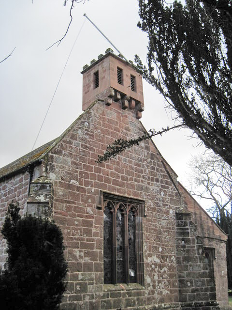
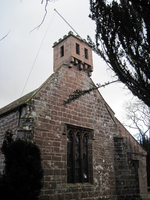
St Columba's Church, Warcop
St Columba's Church is in the village of Warcop, Cumbria, England. It is an active Anglican parish church in the deanery of Appleby, the archdeaconry...
Flitholme
Flitholme is a hamlet in the parish of Musgrave, in the Eden District, in the English county of Cumbria. == Location == It is located on an unclassified...

Sandford, Cumbria
Sandford is a small village in the Eden district, in the county of Cumbria, England. It is near the A66 road. It has one pub. == Location grid == ��2...
Bleatarn
Bleatarn is a hamlet in Cumbria, England. It is located 3.3 miles (5.3 km) by road to the northwest of Soulby. == See also == List of places in Cumbria...

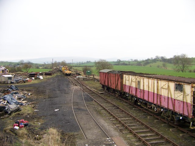
Musgrave railway station
Musgrave railway station was a railway station situated on the Eden Valley Railway and located between Penrith and Kirkby Stephen East, England. ��2�...
Great Musgrave
Great Musgrave is a village and former civil parish, now in the parish of Musgrave, in the Eden district of Cumbria, England. It is about a mile west of...
Nearby Amenities
Located within 500m of 54.533963,-2.3873131Have you been to Castle Hill?
Leave your review of Castle Hill below (or comments, questions and feedback).