Bent Hill

Hill, Mountain in Westmorland Eden

England

Bent Hill

The Fat Lamb
The Fat Lamb Credit: Roger Cornfoot

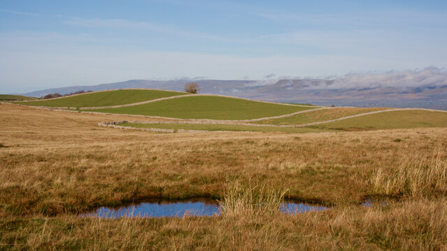
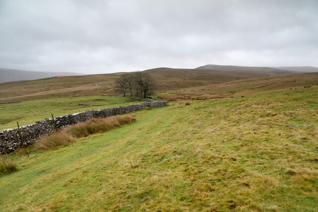
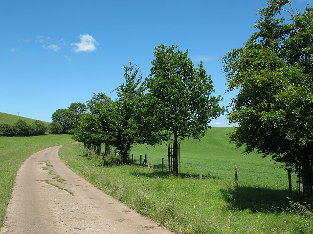
Bent Hill, located in the county of Westmorland, is a prominent hill/mountain that stands at an elevation of approximately 1,200 meters (3,937 feet) above sea level. It is situated within the Lake District National Park in the northwestern region of England.

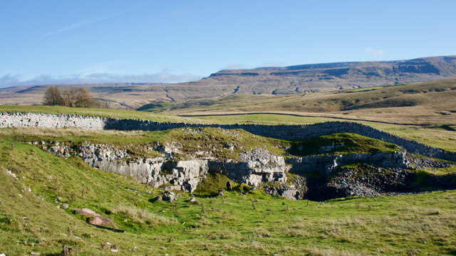
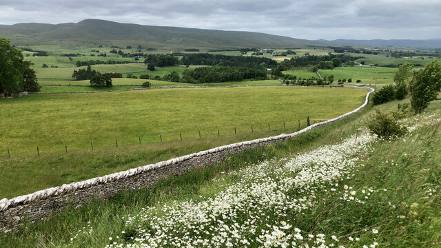
Known for its distinctive shape and rugged terrain, Bent Hill offers a challenging yet rewarding hiking experience for outdoor enthusiasts. The hill/mountain is characterized by its steep slopes, rocky ridges, and breathtaking views of the surrounding landscape. On a clear day, visitors can enjoy panoramic vistas of the picturesque Lake District, including nearby peaks such as Scafell Pike and Helvellyn.

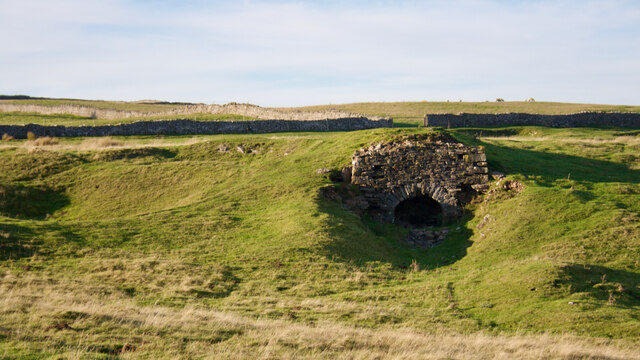
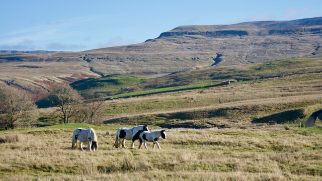
Bent Hill is often frequented by hikers, mountaineers, and nature lovers who seek to explore its striking beauty. The hill/mountain is home to a diverse range of flora and fauna, including heather, bracken, and various species of birds and mammals. Its remote and tranquil setting provides a serene escape from the bustling city life.

The ascent to Bent Hill can be challenging, with some sections requiring scrambling and navigation skills. However, there are various well-marked trails and paths that cater to different experience levels. It is advisable for visitors to come prepared with proper hiking gear, including sturdy boots, waterproof clothing, and maps.

Overall, Bent Hill in Westmorland offers a unique opportunity to immerse oneself in the stunning natural beauty of the Lake District. Whether it is conquering the summit or simply enjoying a leisurely stroll, this hill/mountain undoubtedly offers an unforgettable experience for all who venture to explore its majestic landscapes.

If you have any feedback on the listing, please let us know in the comments section below.
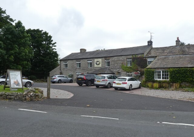
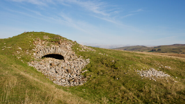
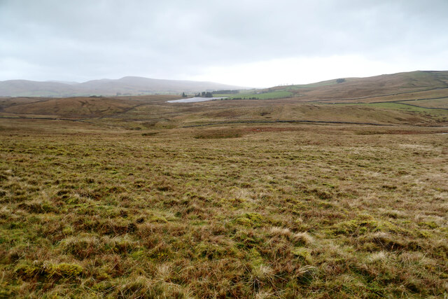
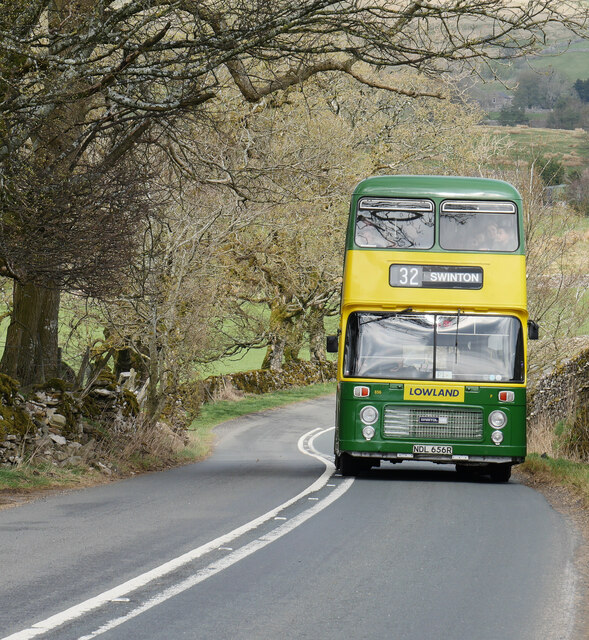
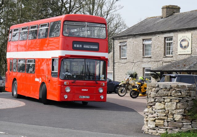
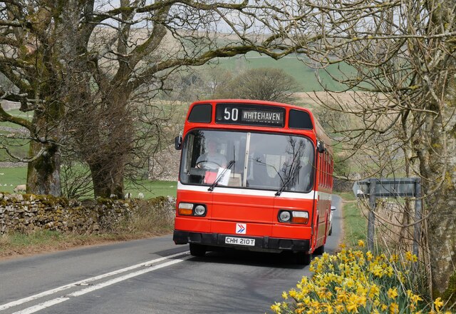
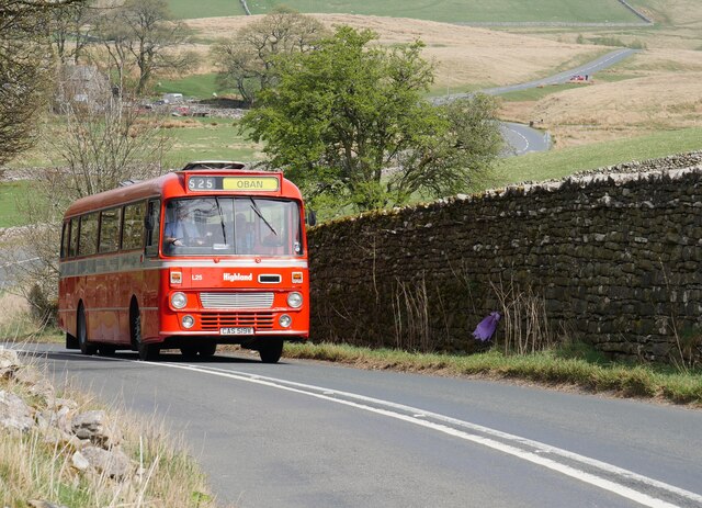
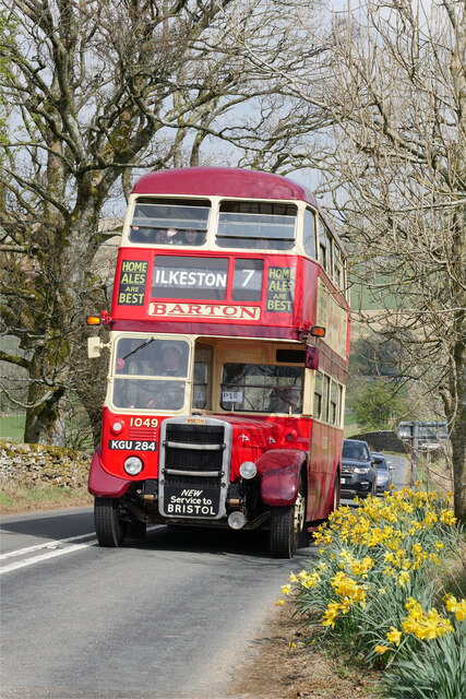
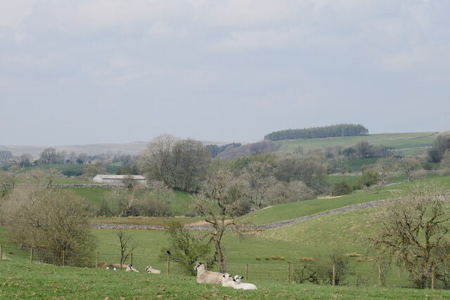
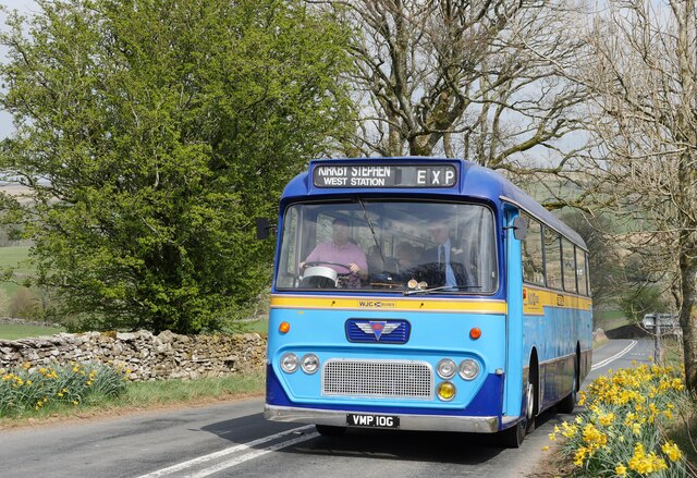
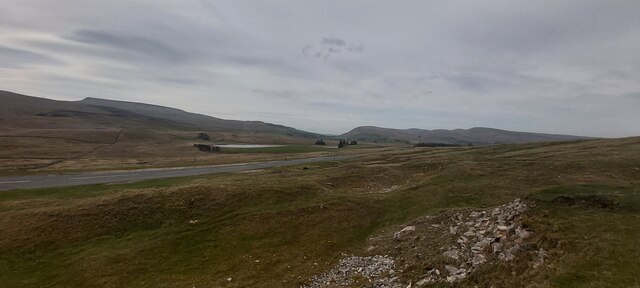
Bent Hill Images

Images are sourced within 2km of 54.426988/-2.3908962 or Grid Reference NY7403. Thanks to Geograph Open Source API. All images are credited.

The Fat Lamb
The Fat Lamb
Quarry, Ash Fell Edge
Greenlaw Rigg
Greenlaw Rigg
Limekiln, Wharton Fell
Pudding Howe Hill
Pudding Howe Hill
Small Pond, Wharton Fell
Limekiln, Pudding Howe Hill
Bridleway from Greengate to Tommy Road It looks as though most traffic on this bit of CROW Access Land follows the drystone wall down towards Tommy Road, but the bridleway heads more to the right and becomes rather indistinct, though there are the remains of a finger post just where the faint path hits the tarmac. Ahead is Greenlaw Rigg of Little Fell, a good place to get blown around on this day of very blustery wind.
Bridleway from Greengate to Tommy Road
It looks as though most traffic on this bit of CROW Access Land follows the drystone wall down towards Tommy Road, but the bridleway heads more to the right and becomes rather indistinct, though there are the remains of a finger post just where the faint path hits the tarmac. Ahead is Greenlaw Rigg of Little Fell, a good place to get blown around on this day of very blustery wind.
Looking down to shakeholes on Wharton Fell The Dent fault lies between the photographer and the tarn in the distance, and Carbonerfous strata have been bent up against the fault to lie almost vertically - BGS sheet 40, Kirkby Stephen, shows the dip as 80° beneath my feet. The extensive line of shakeholes lies above the Great Scar Limestone at 310m, and water sinking here probably comes out of springs to the north, to flow into the River Eden. Just beyond the wall, beneath the crowded tree shelters of new plantings, the underlying geology is the somewhat older Ashfell Sandstone formation which is impervious, but the tarn itself and much of the marshy ground is on glacial till so the bedrock is not exposed at all.
Looking down to shakeholes on Wharton Fell
The Dent fault lies between the photographer and the tarn in the distance, and Carbonerfous strata have been bent up against the fault to lie almost vertically - BGS sheet 40, Kirkby Stephen, shows the dip as 80° beneath my feet. The extensive line of shakeholes lies above the Great Scar Limestone at 310m, and water sinking here probably comes out of springs to the north, to flow into the River Eden. Just beyond the wall, beneath the crowded tree shelters of new plantings, the underlying geology is the somewhat older Ashfell Sandstone formation which is impervious, but the tarn itself and much of the marshy ground is on glacial till so the bedrock is not exposed at all.
Lowland Bristol VRT on the A683 approaching the Fat Lamb Country Inn This image was captured on the regular Cumbria Easter Rally service to the Fat Lamb Country Inn near Ravenstonedale.  As shown on the destination screen, Swinton is a village in Berwickshire, Scottish Borders.

This photograph was taken during the Coronavirus (COVID-19) pandemic of 2020/21/22.
Lowland Bristol VRT on the A683 approaching the Fat Lamb Country Inn
This image was captured on the regular Cumbria Easter Rally service to the Fat Lamb Country Inn near Ravenstonedale. As shown on the destination screen, Swinton is a village in Berwickshire, Scottish Borders. This photograph was taken during the Coronavirus (COVID-19) pandemic of 2020/21/22.
Leyland Atlantean at the Fat Lamb Country Inn A Leyland Atlantean in Ribble National Bus Company (NBC) livery at the Fat Lamb Country Inn.

This photograph was taken during the Coronavirus (COVID-19) pandemic of 2020/21/22.
Leyland Atlantean at the Fat Lamb Country Inn
A Leyland Atlantean in Ribble National Bus Company (NBC) livery at the Fat Lamb Country Inn. This photograph was taken during the Coronavirus (COVID-19) pandemic of 2020/21/22.
Leyland National approaching the Fat Lamb Country Inn New to Cumberland Motor Services in April 1979 and originally working out of Workington depot, it is now under the care of Workington Transport Heritage Trust.

This photograph was taken during the Coronavirus (COVID-19) pandemic of 2020/21/22.
Leyland National approaching the Fat Lamb Country Inn
New to Cumberland Motor Services in April 1979 and originally working out of Workington depot, it is now under the care of Workington Transport Heritage Trust. This photograph was taken during the Coronavirus (COVID-19) pandemic of 2020/21/22.
Leopard on Egdale Lane A Leyland Leopard in Highland Scottish livery powers up the incline to the Fat Lamb Country Inn near Ravenstonedale.

This photograph was taken during the Coronavirus (COVID-19) pandemic of 2020/21/22.
Leopard on Egdale Lane
A Leyland Leopard in Highland Scottish livery powers up the incline to the Fat Lamb Country Inn near Ravenstonedale. This photograph was taken during the Coronavirus (COVID-19) pandemic of 2020/21/22.
Leyland RT nearing the Fat Lamb Country Inn A Park-bodied Leyland RT approaching the Fat Lamb Country Inn at the terminus of services from Brough during the Cumbria Easter Rally 2022.

This photograph was taken during the Coronavirus (COVID-19) pandemic of 2020/21/22.
Leyland RT nearing the Fat Lamb Country Inn
A Park-bodied Leyland RT approaching the Fat Lamb Country Inn at the terminus of services from Brough during the Cumbria Easter Rally 2022. This photograph was taken during the Coronavirus (COVID-19) pandemic of 2020/21/22.
A pastoral scene by Egdale Lane Despite a slight haze, a beautiful morning in the Eden Valley.

This photograph was taken during the Coronavirus (COVID-19) pandemic of 2020/21/22.
A pastoral scene by Egdale Lane
Despite a slight haze, a beautiful morning in the Eden Valley. This photograph was taken during the Coronavirus (COVID-19) pandemic of 2020/21/22.
AEC Reliance arriving at the Fat Lamb Country Inn WJC (Wee John's Coaches) AEC Reliance arriving at the Fat Lamb Country Inn from Brough on the first morning of the Cumbria Easter Rally 2022.

This photograph was taken during the Coronavirus (COVID-19) pandemic of 2020/21/22.
AEC Reliance arriving at the Fat Lamb Country Inn
WJC (Wee John's Coaches) AEC Reliance arriving at the Fat Lamb Country Inn from Brough on the first morning of the Cumbria Easter Rally 2022. This photograph was taken during the Coronavirus (COVID-19) pandemic of 2020/21/22.
View towards Tarnmire
Ox-eye Daisies on the verge of the Fell Road
Show me another place!

Bent Hill is located at Grid Ref: NY7403 (Lat: 54.426988, Lng: -2.3908962)

Administrative County: Cumbria

District: Eden

Police Authority: Cumbria

What 3 Words

///fallen.outer.strapping. Near Kirkby Stephen, Cumbria

Nearby Locations

Bent Hill

Related Wikis

Ravenstonedale

Ravenstonedale is a village and large civil parish in Cumbria, on the watershed between the River Lune and River Eden. The village lies 4 miles (6 km)...

Ravenstonedale Priory

Ravenstonedale Priory was a Gilbertine priory in Cumbria, England. It was founded in the reign of Henry II, when Torphin, son of Robert, son of Copsus...

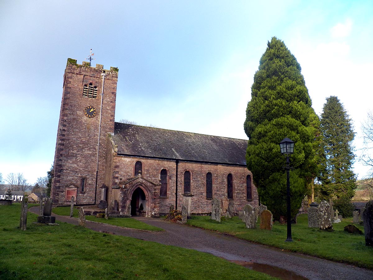
St Oswald's Church, Ravenstonedale

St Oswald's Church is in the village of Ravenstonedale, Cumbria, England. It is an active Anglican parish church in the deanery of Appleby, the archdeaconry...

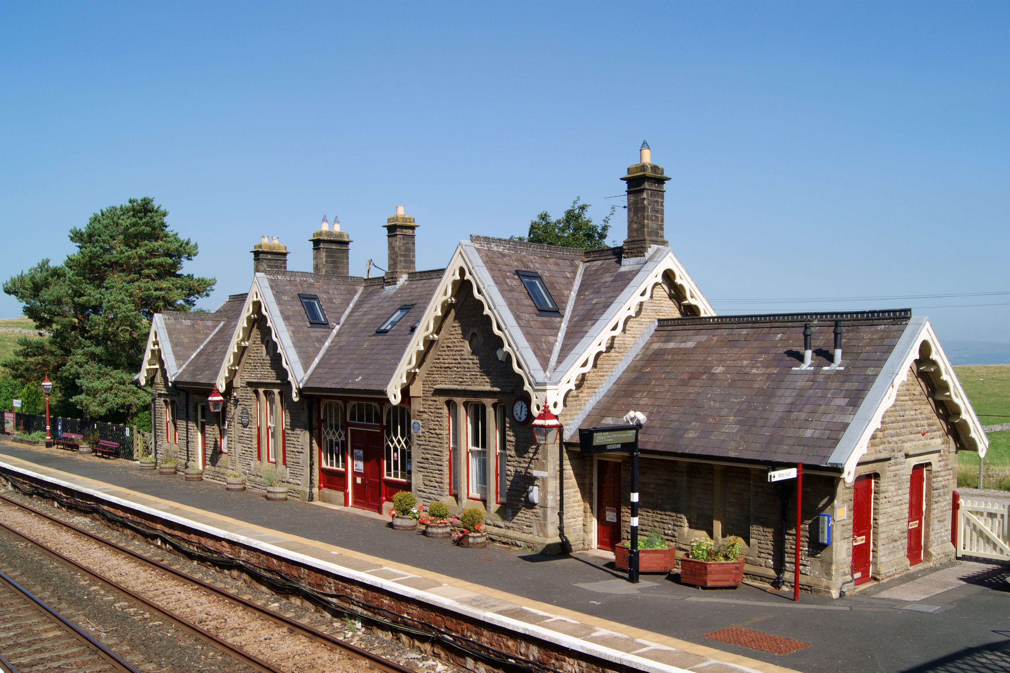
Kirkby Stephen railway station

Kirkby Stephen is a railway station in Eden in Cumbria, England, on the Settle and Carlisle Line, which runs between Carlisle and Leeds via Settle. The...
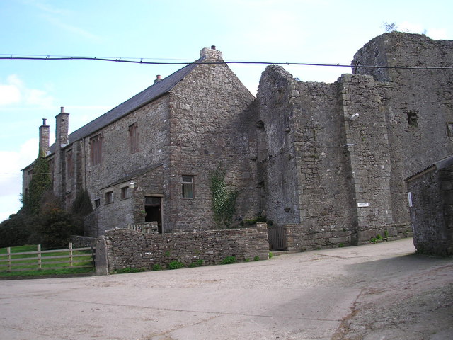
Wharton Hall

Wharton Hall in Wharton, Cumbria, England, is a medieval fortified manor house. == History == At the heart of Wharton Hall is a 15th-century hall, built...

Pendragon Castle

Pendragon Castle is a ruin located in Mallerstang Dale, Cumbria, south of Kirkby Stephen, and close to the hamlet of Outhgill (at grid reference NY781025...

Wharton, Cumbria

Wharton is a civil parish near Kirkby Stephen in the Eden District of Cumbria, England, which, historically, was part of Westmorland. It has a population...

Outhgill

Outhgill is a hamlet in Mallerstang, Cumbria, England. It lies about 5 miles (8 km) south of Kirkby Stephen. It is the main hamlet in the dale of Mallerstang...

Nearby Amenities

Located within 500m of 54.426988,-2.3908962
Grit Bin
Lat/Long: 54.4248394/-2.3902475
Give Way
Direction: forward
Lat/Long: 54.4249128/-2.3902689
Fixme: longer than this
Lat/Long: 54.4273644/-2.3985198
Bent Hill
Ele: 330
Natural: peak
Lat/Long: 54.4271071/-2.3906773
Power: pole
Lat/Long: 54.4249499/-2.3964719
Power: pole
Lat/Long: 54.4252774/-2.394946
Power: pole
Lat/Long: 54.4248161/-2.3935254
Power: pole
Lat/Long: 54.4243687/-2.3921696
Power: pole
Lat/Long: 54.4246878/-2.3905047
Power: pole
Lat/Long: 54.4250112/-2.3888062
Power: pole
Lat/Long: 54.4252411/-2.3875917
The data included in this document is from www.openstreetmap.org. The data is made available under ODbL.

Have you been to Bent Hill?

Leave your review of Bent Hill below (or comments, questions and feedback).