Cross Hill

Hill, Mountain in Lancashire Ribble Valley

England

Cross Hill

Castle Keep
Castle Keep Credit: Kevin Waterhouse

Cross Hill is a prominent hill located in the county of Lancashire, England. Situated within the larger Rossendale Valley, it stands at an elevation of approximately 394 meters (1,293 feet) above sea level. This makes it one of the highest points in the region, offering breathtaking views of the surrounding countryside.

The hill derives its name from a stone cross that was once erected at its summit. Although the original cross has long since disappeared, its historical significance is still evident. Cross Hill is known for being a popular destination for walkers, hikers, and outdoor enthusiasts who appreciate the natural beauty and tranquility it provides.

Covered in lush green grass, the hill is home to various plant and animal species, adding to its ecological importance. It is also a designated Site of Special Scientific Interest (SSSI), further highlighting its conservation value.

Cross Hill is easily accessible, with several footpaths and trails leading to its peak. One of the most popular routes starts from the nearby village of Waterfoot, offering a moderate ascent that rewards visitors with stunning panoramic views from the top.

Besides its natural attractions, the area surrounding Cross Hill also boasts a rich cultural heritage. Numerous historical landmarks and sites of interest can be found in the vicinity, including ancient stone circles and remnants of old mining operations.

Overall, Cross Hill is a picturesque and historically significant location, offering visitors a chance to immerse themselves in Lancashire's natural beauty while exploring its fascinating past.

If you have any feedback on the listing, please let us know in the comments section below.

Cross Hill Images

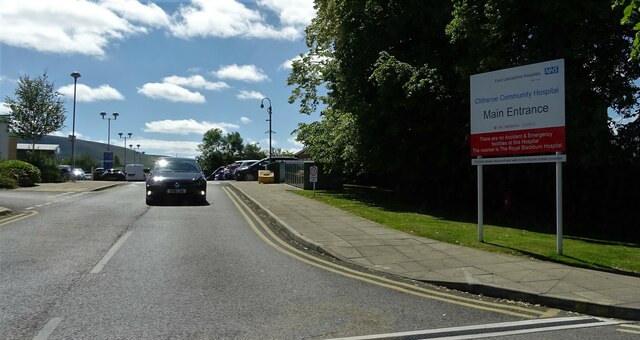
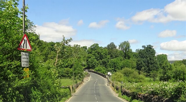
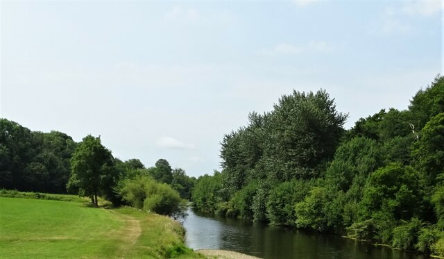
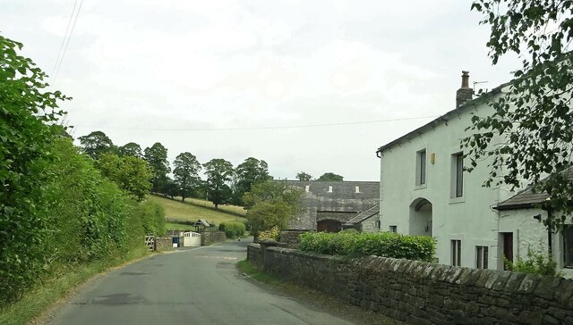
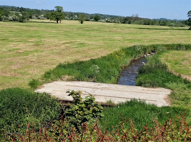
Images are sourced within 2km of 53.885597/-2.3863569 or Grid Reference SD7443. Thanks to Geograph Open Source API. All images are credited.

Castle Keep
Castle Keep
Clitheroe Castle Viewed from Booth's car park
Clitheroe Castle
Viewed from Booth's car park
Main entrance to Clitheroe Community Hospital On the A671.
Main entrance to Clitheroe Community Hospital
On the A671.
Brungerley Bridge Carrying the B6478 over the River Ribble.
Brungerley Bridge
Carrying the B6478 over the River Ribble.
River Ribble Looking south west from Brungerley Bridge.
River Ribble
Looking south west from Brungerley Bridge.
Grindleton Road At West Bradford.
Grindleton Road
At West Bradford.
The Brown Cow, Moor Lane, Clitheroe Signage has changed since it was seen in 2007 <a href="https://www.geograph.org.uk/photo/531438">SD7441 : "Brown Cow" Moor Lane Clitheroe</a>. The pub is listed grade II (list entry 1072352).
The Brown Cow, Moor Lane, Clitheroe
Signage has changed since it was seen in 2007 SD7441 : "Brown Cow" Moor Lane Clitheroe. The pub is listed grade II (list entry 1072352).
Police station, King Street, Clitheroe A traditional town centre station with blue lamp, a rare sight these days as the trend is to larger operational bases outside town. There is a defibrillator on the outside wall.
Police station, King Street, Clitheroe
A traditional town centre station with blue lamp, a rare sight these days as the trend is to larger operational bases outside town. There is a defibrillator on the outside wall.
Police station, King Street, Clitheroe - detail The detail is of a stone plaque reading 'constabulary station'. See <a href="https://www.geograph.org.uk/photo/7272473">SD7441 : Police station, King Street, Clitheroe</a> for context.
Police station, King Street, Clitheroe - detail
The detail is of a stone plaque reading 'constabulary station'. See SD7441 : Police station, King Street, Clitheroe for context.
Clitheroe railway station : frontage This is the original station building, now converted to other uses including a visitor centre.
Clitheroe railway station : frontage
This is the original station building, now converted to other uses including a visitor centre.
Clitheroe railway station : former platform The original up platform adjacent to the former station building is no longer in use; trains currently use a new platform just to the north.
Clitheroe railway station : former platform
The original up platform adjacent to the former station building is no longer in use; trains currently use a new platform just to the north.
Clitheroe railway station : clock and lamp These 'heritage' features are at the entrance to the current station. I don't know whether they came from the original Clitheroe station.
Clitheroe railway station : clock and lamp
These 'heritage' features are at the entrance to the current station. I don't know whether they came from the original Clitheroe station.
Clitheroe railway station : Rochdale train Sprinter unit 150002 awaits departure to Rochdale via Blackburn and Manchester. If anyone actually wanted to travel from here to Rochdale, it may now be quicker to change at Blackburn for a service via Todmorden.
Clitheroe railway station : Rochdale train
Sprinter unit 150002 awaits departure to Rochdale via Blackburn and Manchester. If anyone actually wanted to travel from here to Rochdale, it may now be quicker to change at Blackburn for a service via Todmorden.
Millennium Sign Waddington Sign and seating area located on the approach to the village from Clitheroe on the B6478.
Millennium Sign Waddington
Sign and seating area located on the approach to the village from Clitheroe on the B6478.
Bridge over Waddington Brook A bridge used by the farmer to allow access in the field over Waddington Brook.
Bridge over Waddington Brook
A bridge used by the farmer to allow access in the field over Waddington Brook.
Footpath to Quarry The footpath and track leading from Clitheroe Road Chatburn to Bellmanpark Quarry.
Footpath to Quarry
The footpath and track leading from Clitheroe Road Chatburn to Bellmanpark Quarry.
Petrol Station and Garage near Chatburn
Junction Deanfield and A671 The junction for Deanfield with the A671 Pimlico Link Road
Junction Deanfield and A671
The junction for Deanfield with the A671 Pimlico Link Road
Show me another place!

Cross Hill is located at Grid Ref: SD7443 (Lat: 53.885597, Lng: -2.3863569)

Administrative County: Lancashire

District: Ribble Valley

Police Authority: Lancashire

What 3 Words

///standard.flops.goofy. Near Waddington, Lancashire

Related Wikis

Moorland School

Moorland School is a selective independent day and boarding school situated in the Ribble Valley, Clitheroe in North West England. The original building...

Clitheroe Royal Grammar School

Clitheroe Royal Grammar School is a co-educational grammar school in the town of Clitheroe in Lancashire, England, formerly an all-boys school. It was...

West Bradford, Lancashire

West Bradford is a village and civil parish in Lancashire, England, 2.5 miles (4 km) north of Clitheroe. The population at the 2011 census was 788. It...

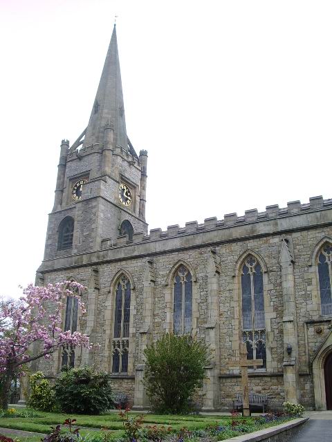
St Mary Magdalene's Church, Clitheroe

St Mary Magdalene's Church is located in Church Street, Clitheroe, Lancashire, England. It is the Anglican parish church of the town, and is in the deanery...

Nearby Amenities

Located within 500m of 53.885597,-2.3863569
Bus Stop
Bus: yes
Public Transport: platform
Lat/Long: 53.882026/-2.3853302
Bus Stop
Bus: yes
Naptan AtcoCode: 2500IMG2318
Naptan NaptanCode: langaptd
Public Transport: platform
Lat/Long: 53.8817656/-2.385306
Post Box
Lat/Long: 53.8824642/-2.3849906
Booth: K6
Removed Amenity: telephone
Lat/Long: 53.8836325/-2.3851375
Bus Stop
Bus: yes
Public Transport: platform
Lat/Long: 53.884384/-2.3842363
Railway: owner_change
Lat/Long: 53.8852288/-2.3848702
West Bradford Road
Crossing Barrier: no
Crossing Light: yes
Railway: level_crossing
Lat/Long: 53.8855376/-2.3846704
Katalco Level Crossing
Railway: level_crossing
Lat/Long: 53.8847277/-2.385079
Railway: switch
Lat/Long: 53.8841635/-2.3852644
Clitheroe Castle Cement GB Railfreight
Railway: site
Ref Tiploc: CLITGBR
Lat/Long: 53.8870139/-2.3818855
Otter
Artist Name: Fiona Bowley
Artwork Type: sculpture
Date: 2007
Tourism: artwork
Lat/Long: 53.8848392/-2.3917138
Artwork Type: sculpture
Tourism: artwork
Lat/Long: 53.8834156/-2.3930171
Railway: switch
Lat/Long: 53.8865531/-2.3831094
Railway: buffer_stop
Lat/Long: 53.8860029/-2.3840277
Power: pole
Lat/Long: 53.8878528/-2.3867463
Power: pole
Lat/Long: 53.8875264/-2.3894566
Power: pole
Lat/Long: 53.8873414/-2.3911384
Power: pole
Lat/Long: 53.8871723/-2.3924124
Barrier: lift_gate
Lat/Long: 53.888993/-2.3863273
Barrier: lift_gate
Lat/Long: 53.8890593/-2.3864089
Traffic Calming: hump
Lat/Long: 53.885169/-2.3846503
Noexit: yes
Lat/Long: 53.8889174/-2.3863195
Railway: level_crossing
Lat/Long: 53.8874106/-2.3807604
Emergency Level Crossing
Railway: level_crossing
Lat/Long: 53.8825622/-2.3853896
Emergency Level Crossing
Railway: level_crossing
Lat/Long: 53.882585/-2.3854374
The data included in this document is from www.openstreetmap.org. The data is made available under ODbL.

Have you been to Cross Hill?

Leave your review of Cross Hill below (or comments, questions and feedback).