Ashley Heath

Hill, Mountain in Staffordshire Newcastle-under-Lyme

England

Ashley Heath

Ashley Heath Park at end of Tower Road on grey dry morning. Top on road beside house called Whinberry whose owner wondered what I was doing with my camera and GPS.
Name: Ashley Heath
Hill number: 5391
Height: 236m / 774ft
Area: 36: Lancashire, Cheshire & the Southern Pennines
Class: Hu
Grid ref: SJ745357 (est)
Drop: 119m
Col: 117m  SJ792406
Ashley Heath Credit: Rude Health

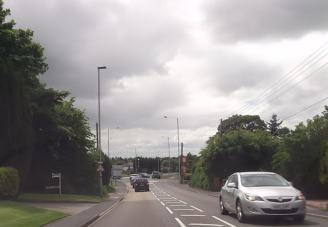
Ashley Heath is a small village located in Staffordshire, England. Situated on the outskirts of the larger town of Newcastle-under-Lyme, Ashley Heath is known for its picturesque landscapes and hilly terrain. It is often referred to as a hill or mountain due to its elevated position in comparison to the surrounding areas.

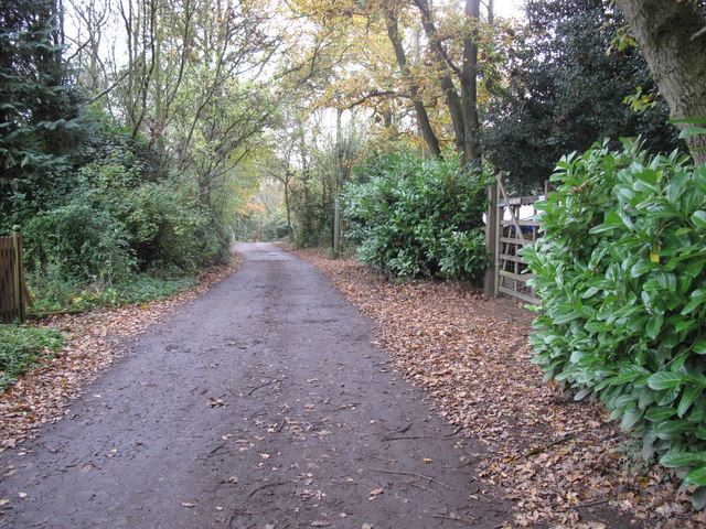
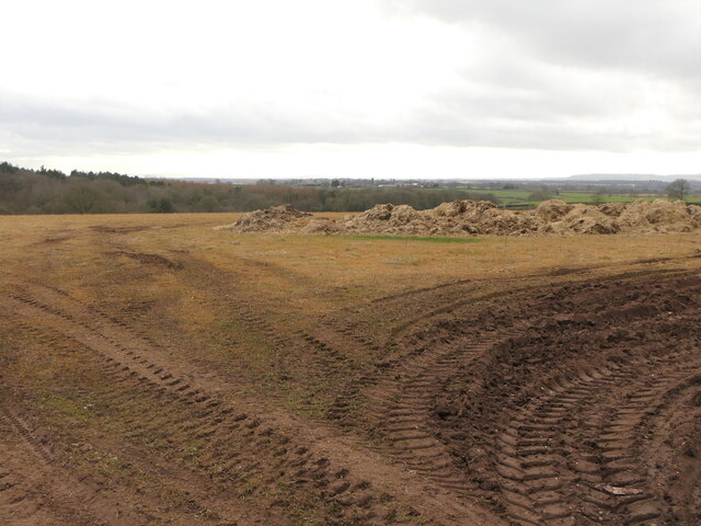
The village is surrounded by lush green countryside, making it an ideal destination for nature enthusiasts and outdoor activities. Walking and hiking trails are abundant, offering stunning views of the surrounding Staffordshire Moorlands. The hills provide a challenging terrain for those seeking a more adventurous experience.

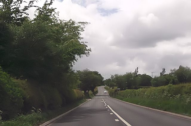
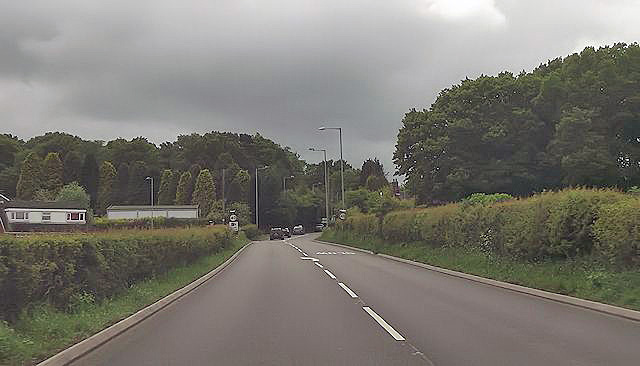
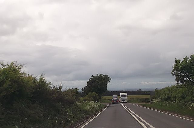
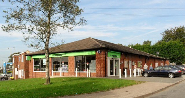
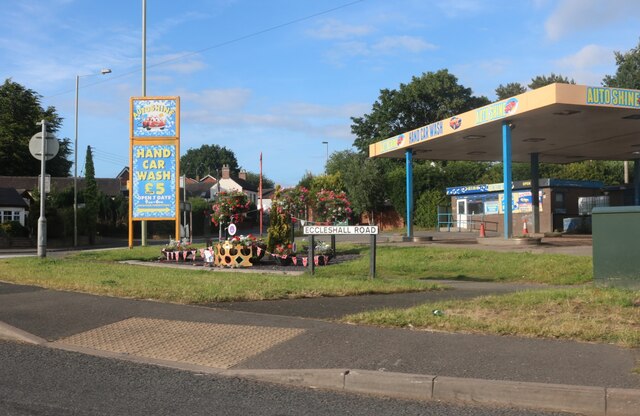
Despite its rural setting, Ashley Heath is well-connected to nearby towns and cities. The village is just a short drive away from Newcastle-under-Lyme, where one can find a range of amenities such as shops, restaurants, and leisure facilities. The nearby A53 road provides easy access to the wider Staffordshire area and beyond.

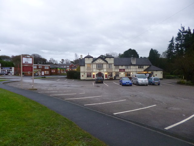
Ashley Heath itself is a quiet and close-knit community, with a small number of residential properties and a local pub serving as a social hub for residents. The village offers a peaceful and tranquil environment, away from the hustle and bustle of city life.

In summary, Ashley Heath is a charming village nestled in the Staffordshire countryside, known for its hilly terrain and scenic beauty. It offers a peaceful and idyllic setting for those looking to escape the city and immerse themselves in nature.

If you have any feedback on the listing, please let us know in the comments section below.

Ashley Heath Images

Images are sourced within 2km of 52.91865/-2.3800246 or Grid Reference SJ7435. Thanks to Geograph Open Source API. All images are credited.

Ashley Heath Park at end of Tower Road on grey dry morning. Top on road beside house called Whinberry whose owner wondered what I was doing with my camera and GPS.
Name: Ashley Heath
Hill number: 5391
Height: 236m / 774ft
Area: 36: Lancashire, Cheshire & the Southern Pennines
Class: Hu
Grid ref: SJ745357 (est)
Drop: 119m
Col: 117m  SJ792406
Ashley Heath
Park at end of Tower Road on grey dry morning. Top on road beside house called Whinberry whose owner wondered what I was doing with my camera and GPS. Name: Ashley Heath Hill number: 5391 Height: 236m / 774ft Area: 36: Lancashire, Cheshire & the Southern Pennines Class: Hu Grid ref: SJ745357 (est) Drop: 119m Col: 117m SJ792406
A53 approaching School Lane junction
A53 approaching Ashley Heath
A53 at Loggerheads
A53 at Loggerheads
Loggerheads roundabout from A53
The Rowans on the A53
A53 just west of Rowney Farm Entrance on left is a layby and on the right a farm entrance
A53 just west of Rowney Farm
Entrance on left is a layby and on the right a farm entrance
Loggerheads, The Loggerheads Brewer's Tudor-style pub on A53; of the accessible area, back bar, with drinking area front and right; wooden beams, Artex plasterwork, some exposed stonework; dining at the back. Cask ales on offer at my visit: Greene King Abbot, Wells Bombardier & Good Stuffing.
Loggerheads, The Loggerheads
Brewer's Tudor-style pub on A53; of the accessible area, back bar, with drinking area front and right; wooden beams, Artex plasterwork, some exposed stonework; dining at the back. Cask ales on offer at my visit: Greene King Abbot, Wells Bombardier & Good Stuffing.
Co-Operative store, Loggerheads
St John the Baptist Church, Ashley - monument to Sir Gilbert Gerard A very large monument to Sir Gilbert Gerard (†1592) and his wife (†1608). They are accompanied by two sons and six daughters.

<a href="https://www.geograph.org.uk/photo/4461166">SJ7636 : St John the Baptist Church, Ashley - monument to Sir Gilbert Gerard - detail (1)</a>
St John the Baptist Church, Ashley - monument to Sir Gilbert Gerard
A very large monument to Sir Gilbert Gerard (†1592) and his wife (†1608). They are accompanied by two sons and six daughters. SJ7636 : St John the Baptist Church, Ashley - monument to Sir Gilbert Gerard - detail (1)
St John the Baptist Church, Ashley - monument to Sir Gilbert Gerard - detail (1) Sir Gilbert Gerard (†1592) and his wife.

<a href="https://www.geograph.org.uk/photo/4461171">SJ7636 : St John the Baptist Church, Ashley - monument to Sir Gilbert Gerard - detail (2)</a>
St John the Baptist Church, Ashley - monument to Sir Gilbert Gerard - detail (1)
St John the Baptist Church, Ashley - monument to Sir Gilbert Gerard - detail (2) Sir Gilbert Gerard (†1592).
St John the Baptist Church, Ashley - monument to Sir Gilbert Gerard - detail (2)
Sir Gilbert Gerard (†1592).
St John the Baptist Church, Ashley View of the chancel with its painted ceiling and reredos.
St John the Baptist Church, Ashley
View of the chancel with its painted ceiling and reredos.
St John the Baptist Church, Ashley It has an early C17 tower, whilst the rest belongs to a restoration of 1861-62 by J. Ashdown of London.

<a href="https://www.geograph.org.uk/photo/4461175">SJ7636 : St John the Baptist Church, Ashley</a>
St John the Baptist Church, Ashley
It has an early C17 tower, whilst the rest belongs to a restoration of 1861-62 by J. Ashdown of London. SJ7636 : St John the Baptist Church, Ashley
Ashley Congregational Chapel Built 1841
Ashley Congregational Chapel
Built 1841
Fields, Loggerheads Some work going on - more houses?
Fields, Loggerheads
Some work going on - more houses?
Field and mixen, Loggerheads
Eccleshall Road at the corner of Newcastle Road
Show me another place!

Ashley Heath is located at Grid Ref: SJ7435 (Lat: 52.91865, Lng: -2.3800246)

Administrative County: Staffordshire

District: Newcastle-under-Lyme

Police Authority: Staffordshire

What 3 Words

///sobered.famines.uncle. Near Standon, Staffordshire

Related Wikis

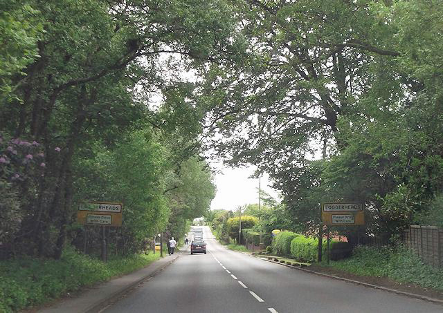
Loggerheads, Staffordshire

Loggerheads is a village and civil parish in north-west Staffordshire, England, on the A53 between Market Drayton and Newcastle-under-Lyme. == Name... ==

Ashley, Staffordshire

Ashley is a village and former civil parish, now in the parish of Loggerheads, in the Newcastle-under-Lyme district, in the county of Staffordshire, England...

Mucklestone

Mucklestone is a village and former civil parish, now in the parish of Loggerheads, in the Newcastle-under-Lyme district, in the county of Staffordshire...

Blore Heath Rural District

Blore Heath was a rural district in Staffordshire, England from 1894 to 1932. It was created under the Local Government Act 1894 from that part of the...

Battle of Blore Heath

The Battle of Blore Heath was a battle in the English Wars of the Roses that was fought on 23 September 1459, at Blore Heath, Staffordshire. Blore Heath...
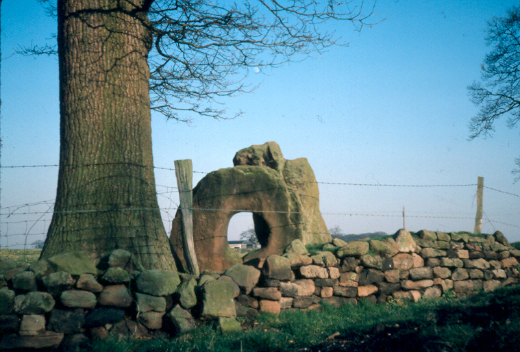
Audley's Cross

Audley's Cross is a cross sited in Blore Heath, Staffordshire to mark the spot on which James Touchet, Lord Audley was killed at the battle of Blore Heath...

Hales, Staffordshire

Hales is a village in Staffordshire approximately 2 miles east of Market Drayton. Population details as taken at the 2011 census can be found under Loggerheads...

Oakley, Staffordshire

Oakley is a hamlet in Staffordshire, England. It is within Mucklestone ward of Loggerheads Parish. Oakley Hall, a former seat of the Chetwode family, is...

Nearby Amenities

Located within 500m of 52.91865,-2.3800246
Ashley Heath
Place: village
Lat/Long: 52.9198896/-2.3786007
Bus Stop
Chapel Lane
Bus: yes
Naptan AtcoCode: 3800C511003
Naptan Bearing: SE
Naptan BusStopType: CUS
Naptan CommonName: Chapel Lane
Naptan Indicator: Opp
Naptan Landmark: Chapel
Naptan Street: Eccleshall Rd
Naptan Verified: no
Public Transport: platform
Source: naptan_import
Lat/Long: 52.9176815/-2.3866124
Bus Stop
Birks Drive
Bus: yes
Naptan AtcoCode: 3800C599202
Naptan Bearing: NE
Naptan CommonName: Birks Drive
Naptan Indicator: Opp
Naptan Landmark: Birks Drive
Naptan Street: Newcastle Rd
Naptan Verified: no
Public Transport: platform
Source: naptan_import
Lat/Long: 52.9220752/-2.3845245
Barrier: bollard
Lat/Long: 52.9189919/-2.3842751
Ashley Heath
Ele: 236
Natural: peak
Lat/Long: 52.9184105/-2.3798417
Fixme: not absolutely sure this is where speed limit changes (but my sole waypoint)
Lat/Long: 52.9141525/-2.3801923
Hookgate
Place: village
Lat/Long: 52.9144143/-2.3786471
Source: Bing
Lat/Long: 52.9154544/-2.3769972
Source: Bing
Lat/Long: 52.9154633/-2.3770438
Source: Bing
Lat/Long: 52.9154414/-2.3770552
Source: Bing
Lat/Long: 52.915496/-2.3769755
Source: Bing
Lat/Long: 52.9155175/-2.3770886
Source: Bing
Lat/Long: 52.915454/-2.3771218
Source: Bing
Lat/Long: 52.9154281/-2.3774216
Source: Bing
Lat/Long: 52.9153703/-2.3771533
Source: Bing
Lat/Long: 52.9154087/-2.3771305
Source: Bing
Lat/Long: 52.9154666/-2.3773988
Source: Bing
Lat/Long: 52.9153659/-2.3772193
Source: Bing
Lat/Long: 52.9153246/-2.3772239
Source: Bing
Lat/Long: 52.915327/-2.3772822
Source: Bing
Lat/Long: 52.915363/-2.3771475
Source: Bing
Lat/Long: 52.915268/-2.377158
Source: Bing
Lat/Long: 52.9152733/-2.3772881
Source: Bing
Lat/Long: 52.9157408/-2.3780244
Source: Bing
Lat/Long: 52.9156931/-2.3777923
Source: Bing
Lat/Long: 52.9157844/-2.3777407
Source: Bing
Lat/Long: 52.9158321/-2.3779728
Source: Bing
Lat/Long: 52.9163558/-2.3776409
Source: Bing
Lat/Long: 52.916275/-2.377201
Source: Bing
Lat/Long: 52.9163956/-2.37714
Source: Bing
Lat/Long: 52.9164765/-2.3775799
Source: Bing
Lat/Long: 52.9161915/-2.3776044
Source: Bing
Lat/Long: 52.9161173/-2.3776416
Source: Bing
Lat/Long: 52.9160137/-2.3774889
Source: Bing
Lat/Long: 52.9160497/-2.377681
Source: Bing
Lat/Long: 52.9159612/-2.3777142
Source: Bing
Lat/Long: 52.9161532/-2.377419
Source: Bing
Lat/Long: 52.9161461/-2.3778525
Source: Bing
Lat/Long: 52.9159882/-2.3779117
Source: Bing
Lat/Long: 52.9159639/-2.3779245
Source: Bing
Lat/Long: 52.9158729/-2.3779587
Source: Bing
Lat/Long: 52.9158296/-2.3776414
Source: Bing
Lat/Long: 52.9159206/-2.3776073
Source: Bing
Lat/Long: 52.915948/-2.3775843
Source: Bing
Lat/Long: 52.9158365/-2.3776261
Source: Bing
Lat/Long: 52.9158121/-2.3774466
Source: Bing
Lat/Long: 52.9159235/-2.3774048
Source: Bing
Lat/Long: 52.9160156/-2.3768232
Source: Bing
Lat/Long: 52.9160502/-2.3770765
Source: Bing
Lat/Long: 52.9161138/-2.3770526
Source: Bing
Lat/Long: 52.9158577/-2.3768825
Source: Bing
Lat/Long: 52.9159283/-2.3774001
Source: Bing
Lat/Long: 52.9161499/-2.377317
Barrier: bollard
Lat/Long: 52.9195567/-2.3853665
Barrier: bollard
Lat/Long: 52.9190363/-2.3844974
Generator Method: photovoltaic
Generator Output Electricity: yes
Generator Source: solar
Generator Type: solar_photovoltaic_panel
Location: roof
Power: generator
Lat/Long: 52.9162275/-2.3790979
Generator Method: photovoltaic
Generator Output Electricity: yes
Generator Source: solar
Generator Type: solar_photovoltaic_panel
Location: roof
Power: generator
Lat/Long: 52.9152264/-2.3834458
Generator Method: photovoltaic
Generator Output Electricity: yes
Generator Source: solar
Generator Type: solar_photovoltaic_panel
Location: roof
Power: generator
Lat/Long: 52.9159639/-2.3816943
Generator Method: photovoltaic
Generator Output Electricity: yes
Generator Source: solar
Generator Type: solar_photovoltaic_panel
Location: roof
Power: generator
Lat/Long: 52.9159639/-2.3816031
Generator Method: photovoltaic
Generator Output Electricity: yes
Generator Source: solar
Generator Type: solar_photovoltaic_panel
Location: roof
Power: generator
Lat/Long: 52.9157067/-2.3802218
Generator Method: photovoltaic
Generator Output Electricity: yes
Generator Source: solar
Generator Type: solar_photovoltaic_panel
Location: roof
Power: generator
Lat/Long: 52.9157844/-2.3811471
Generator Method: photovoltaic
Generator Output Electricity: yes
Generator Source: solar
Generator Type: solar_photovoltaic_panel
Location: roof
Power: generator
Lat/Long: 52.9172189/-2.380423
Generator Method: photovoltaic
Generator Output Electricity: yes
Generator Source: solar
Generator Type: solar_photovoltaic_panel
Location: roof
Power: generator
Lat/Long: 52.9211666/-2.3763433
Generator Method: photovoltaic
Generator Output Electricity: yes
Generator Source: solar
Generator Type: solar_photovoltaic_panel
Location: roof
Power: generator
Lat/Long: 52.9182184/-2.383014
Generator Method: photovoltaic
Generator Output Electricity: yes
Generator Source: solar
Generator Type: solar_photovoltaic_panel
Location: roof
Power: generator
Lat/Long: 52.9182508/-2.3830488
Generator Method: photovoltaic
Generator Output Electricity: yes
Generator Source: solar
Generator Type: solar_photovoltaic_panel
Location: roof
Power: generator
Lat/Long: 52.9176871/-2.3835652
Generator Method: photovoltaic
Generator Output Electricity: yes
Generator Source: solar
Generator Type: solar_photovoltaic_panel
Location: roof
Power: generator
Lat/Long: 52.9177332/-2.3837569
Generator Method: photovoltaic
Generator Output Electricity: yes
Generator Source: solar
Generator Type: solar_photovoltaic_panel
Location: roof
Power: generator
Lat/Long: 52.9194394/-2.3842853
Generator Method: photovoltaic
Generator Output Electricity: yes
Generator Source: solar
Generator Type: solar_photovoltaic_panel
Location: roof
Power: generator
Lat/Long: 52.9203677/-2.3782101
Generator Method: photovoltaic
Generator Output Electricity: yes
Generator Source: solar
Generator Type: solar_photovoltaic_panel
Location: roof
Power: generator
Lat/Long: 52.920379/-2.3781618
Generator Method: photovoltaic
Generator Output Electricity: yes
Generator Source: solar
Generator Type: solar_photovoltaic_panel
Location: roof
Power: generator
Lat/Long: 52.9218555/-2.3762843
Generator Method: photovoltaic
Generator Output Electricity: yes
Generator Source: solar
Generator Type: solar_photovoltaic_panel
Location: roof
Power: generator
Lat/Long: 52.9206216/-2.3852402
Generator Method: photovoltaic
Generator Output Electricity: yes
Generator Source: solar
Generator Type: solar_photovoltaic_panel
Location: roof
Power: generator
Lat/Long: 52.9205908/-2.385436
Generator Method: photovoltaic
Generator Output Electricity: yes
Generator Source: solar
Generator Type: solar_photovoltaic_panel
Location: roof
Power: generator
Lat/Long: 52.9205181/-2.3855647
Source: Bing
Lat/Long: 52.9157282/-2.3780609
Turning Circle
Lat/Long: 52.919753/-2.384982
Turning Circle
Lat/Long: 52.9218601/-2.378347
Turning Circle
Lat/Long: 52.9157071/-2.3798627
The data included in this document is from www.openstreetmap.org. The data is made available under ODbL.

Have you been to Ashley Heath?

Leave your review of Ashley Heath below (or comments, questions and feedback).