Barnside Hill

Hill, Mountain in Berwickshire

Scotland

Barnside Hill

The Whiteadder Water at Greenhope Looking across LT power lines to Roughside Wood.
The Whiteadder Water at Greenhope Credit: M J Richardson

Barnside Hill is an enchanting natural landmark located in the picturesque region of Berwickshire, Scotland. Rising majestically to an elevation of approximately 480 meters (1575 feet), it is renowned for its breathtaking vistas and captivating beauty.

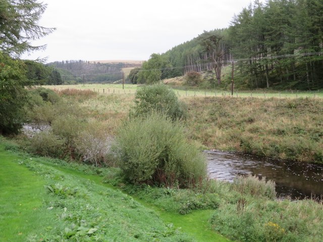
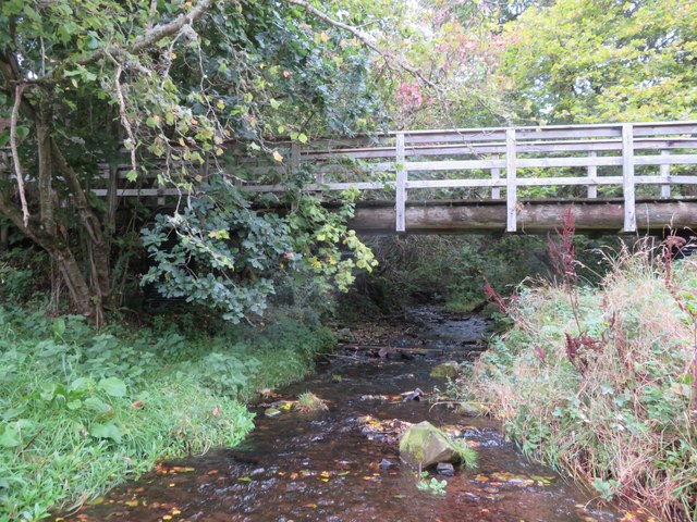
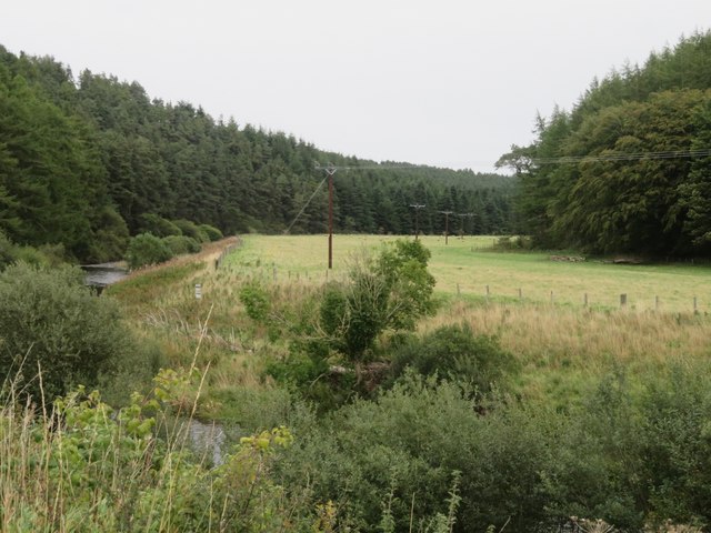
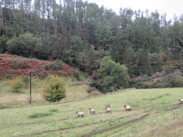
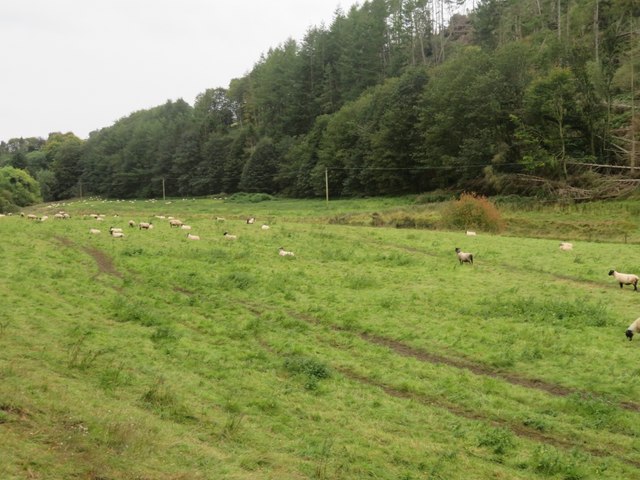
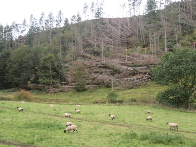
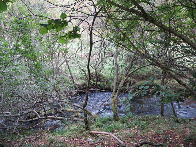
Situated amidst the rolling hills and verdant landscapes, Barnside Hill offers visitors a unique opportunity to immerse themselves in the tranquility of nature. The hill is covered in lush greenery, adorned with a plethora of vibrant wildflowers during the spring and summer months. Its slopes are home to a diverse range of flora and fauna, making it a haven for nature enthusiasts and wildlife lovers.

The ascent to the summit of Barnside Hill is a rewarding experience, as it offers panoramic views of the surrounding countryside. On clear days, visitors are treated to sweeping vistas of the Berwickshire coastline, the nearby Cheviot Hills, and the charming towns and villages nestled in the valley below.

The hill is also steeped in history, with remnants of ancient settlements and structures scattered across its slopes. Archaeological excavations have unearthed evidence of human activity dating back thousands of years, adding an intriguing dimension to the area's allure.

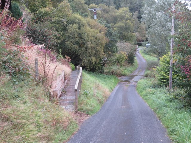
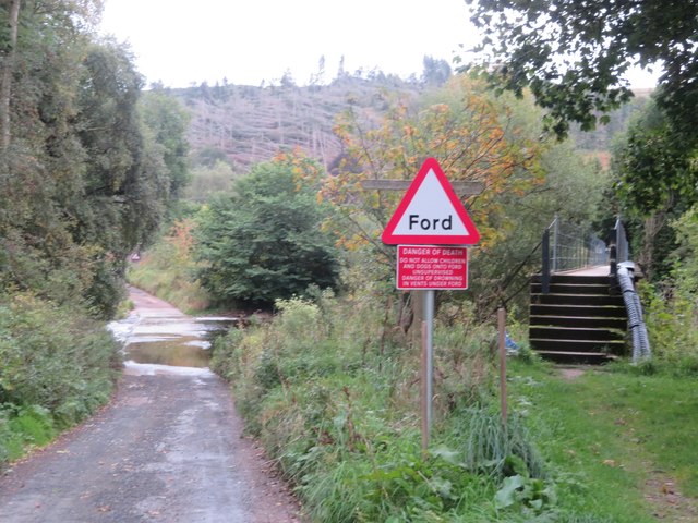
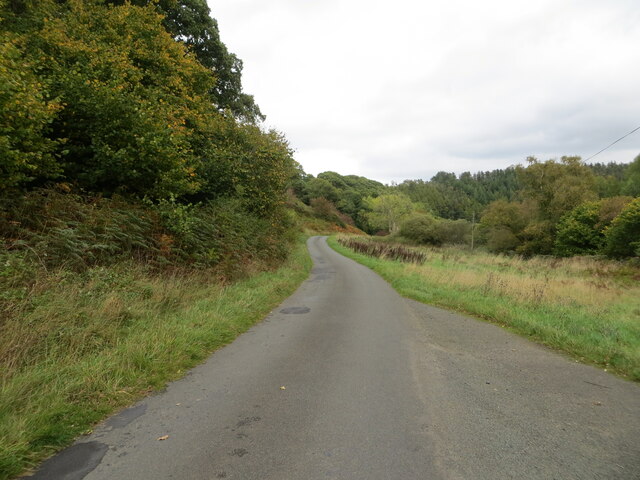
Barnside Hill is a popular destination for hikers and outdoor enthusiasts, with its well-maintained trails and accessible routes. Whether it's a leisurely stroll or a challenging hike, the hill caters to all levels of fitness and offers a memorable experience for visitors of all ages.

In conclusion, Barnside Hill is a captivating natural wonder that showcases the beauty of Berwickshire's countryside. With its breathtaking views, rich history, and diverse ecosystems, it is a must-visit destination for those seeking solace in the embrace of nature.

If you have any feedback on the listing, please let us know in the comments section below.

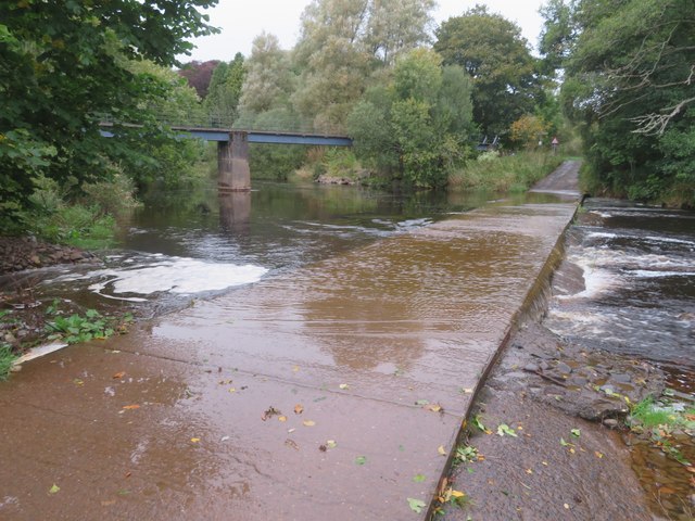
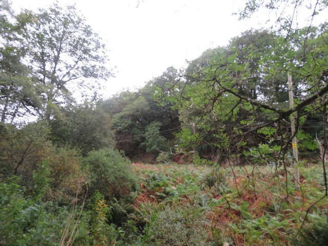
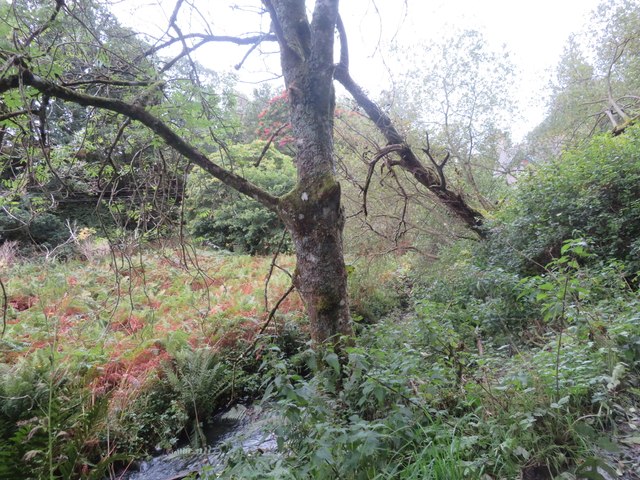
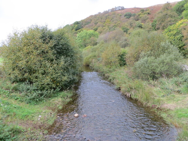
Barnside Hill Images

Images are sourced within 2km of 55.852986/-2.4083859 or Grid Reference NT7462. Thanks to Geograph Open Source API. All images are credited.

The Whiteadder Water at Greenhope Looking across LT power lines to Roughside Wood.
The Whiteadder Water at Greenhope
Looking across LT power lines to Roughside Wood.
Footbridge over Greenhope Burn Looking upstream from the ford <a href="https://www.geograph.org.uk/photo/7611541">NT7361 : Footpath and ford at Greenhope</a>, just a few metres before the burn joins the Whiteadder Water.
Footbridge over Greenhope Burn
Looking upstream from the ford NT7361 : Footpath and ford at Greenhope, just a few metres before the burn joins the Whiteadder Water.
Footpath and ford at Greenhope The path leads to the footbridge across the Greenhope Burn <a href="https://www.geograph.org.uk/photo/7611533">NT7361 : Footbridge over Greenhope Burn</a>.
Footpath and ford at Greenhope
The path leads to the footbridge across the Greenhope Burn NT7361 : Footbridge over Greenhope Burn.
The valley of the Whiteadder Water at Greenhope With Greenhope Wood on the left and Roughside Wood on the right.
The valley of the Whiteadder Water at Greenhope
With Greenhope Wood on the left and Roughside Wood on the right.
Sheep pasture near Abbey St Bathans By the Monynut Water, with Millbrae Wood beyond.
Sheep pasture near Abbey St Bathans
By the Monynut Water, with Millbrae Wood beyond.
Pasture by the Monynut Water With the Millbrae Wood conifer plantation across the river.
Pasture by the Monynut Water
With the Millbrae Wood conifer plantation across the river.
Windthrow in Millbrae Wood Storm damage by the Monynut Burn.
Windthrow in Millbrae Wood
Storm damage by the Monynut Burn.
Ford and footbridge at Abbey St Bathans Crossing the Otter Burn.
Ford and footbridge at Abbey St Bathans
Crossing the Otter Burn.
Ford at Abbey St Bathans With a footbridge, crossing the Otter Burn.
Ford at Abbey St Bathans
With a footbridge, crossing the Otter Burn.
The valley of the Whare Burn Dense vegetation in the valley and woodland on either side. Looking downstream.
The valley of the Whare Burn
Dense vegetation in the valley and woodland on either side. Looking downstream.
The valley of the Whare Burn Dense vegetation in the valley and woodland on either side. Looking upstream.
The valley of the Whare Burn
Dense vegetation in the valley and woodland on either side. Looking upstream.
Happy Grotesque Is it still a grotesque if it is smiling? - a grotesque is a carved animal or human attached to a building that is merely decorative and does not serve any other function.
A Gargoyle is carved animal or human attached to a building that acts as a water spout.
<span class="nowrap"><a title="https://grammarist.com/usage/gargoyle-or-grotesque/" rel="nofollow ugc noopener" href="https://grammarist.com/usage/gargoyle-or-grotesque/">Link</a><img style="margin-left:2px;" alt="External link" title="External link - shift click to open in new window" src="https://s1.geograph.org.uk/img/external.png" width="10" height="10"/></span>
On the side of a house just north of Abbey St Bathans on the Southern Upland Way.
Happy Grotesque
Is it still a grotesque if it is smiling? - a grotesque is a carved animal or human attached to a building that is merely decorative and does not serve any other function. A Gargoyle is carved animal or human attached to a building that acts as a water spout. LinkExternal link On the side of a house just north of Abbey St Bathans on the Southern Upland Way.
Ford in Flood Ford across the Whiteadder Water at Abbey St. Bathans with a tad more water flowing across than this picture taken in September:-
<a title="https://www.geograph.org.uk/photo/7612400" href="https://www.geograph.org.uk/photo/7612400">Link</a>
Ford in Flood
Ford across the Whiteadder Water at Abbey St. Bathans with a tad more water flowing across than this picture taken in September:- Link
Monynut Water viewed from Bushelhill Farm Bridge Looking north-westward upstream.
Monynut Water viewed from Bushelhill Farm Bridge
Looking north-westward upstream.
Monynut Water flowing between fields and wooded banks near Godscroft Looking southward.
Monynut Water flowing between fields and wooded banks near Godscroft
Looking southward.
Minor road following the course of Monynut Water down the valley Looking north-eastward from beside Hallbank Wood.
Minor road following the course of Monynut Water down the valley
Looking north-eastward from beside Hallbank Wood.
Whare Burn viewed from Whiteburn Bridge Looking north-westward upstream.
Whare Burn viewed from Whiteburn Bridge
Looking north-westward upstream.
Abbey Kirk and part of its burial ground, Abbey St Bathans Viewed from the southeast.
Abbey Kirk and part of its burial ground, Abbey St Bathans
Viewed from the southeast.
Show me another place!

Barnside Hill is located at Grid Ref: NT7462 (Lat: 55.852986, Lng: -2.4083859)

Unitary Authority: The Scottish Borders

Police Authority: The Lothians and Scottish Borders

What 3 Words

///users.mistaken.beam. Near Duns, Scottish Borders

Related Wikis

Abbey St Bathans

Abbey St Bathans (Scottish Gaelic: Abaid Bhaoithin) is a parish in the Lammermuir district of Berwickshire, in the eastern part of the Scottish Borders...

Cockburn Tower

Cockburn Tower was a small fortified house in Berwickshire, Scotland. Now little more than the outline of a foundation, it occupied a site on the southern...

Dye Water

The Dye Water (Scottish Gaelic: Uisge DhĂ idh) is a river in the Lammermuir Hills in the Scottish Borders area of Scotland. It rises in the Hope Hills,...

Bothwell Water

The Bothwell Water is a river in the Scottish Borders area of Scotland. It rises in the Lammermuir Hills near Caldercleugh and continues past the Upper...

Cranshaws Castle

Cranshaws Castle or Cranshaws Tower is a privately owned 15th-century pele situated by the village of Cranshaws in Berwickshire, Scotland. The building...

Preston, Scottish Borders

Preston is a small village in the ancient county of Berwickshire, now an administrative area of the Scottish Borders region of Scotland. It lies within...

Cranshaws

Cranshaws is a village on the B6355 road, near Duns, in the Scottish Borders area of Scotland, in the former Berwickshire. Of Cranshaws Castle only the...

Bonkyl Church

Bonkyl Church (also spelled Buncle or Bunkle) (Scottish Gaelic: Bun na Cille = 'the hill foot of the church') is a Church of Scotland kirk situated at...

Nearby Amenities

Located within 500m of 55.852986,-2.4083859
Barnside Hill
Ele: 263
Ele Ft: 865
Natural: peak
Lat/Long: 55.8533413/-2.4084565
The data included in this document is from www.openstreetmap.org. The data is made available under ODbL.

Have you been to Barnside Hill?

Leave your review of Barnside Hill below (or comments, questions and feedback).