Coldwell Hill
Hill, Mountain in Kincardineshire
Scotland
Coldwell Hill

Coldwell Hill is a prominent hill located in the region of Kincardineshire, Scotland. With an elevation of approximately 500 meters (1,640 feet), it is considered a notable landmark in the area. The hill is situated near the village of Coldwell, which lies within the larger Kincardineshire region.
Coldwell Hill offers breathtaking panoramic views of the surrounding countryside, making it a popular destination for hikers, nature enthusiasts, and photographers. Its location within the stunning Scottish landscape provides visitors with a unique opportunity to appreciate the natural beauty of the region.
The hill is characterized by its gentle slopes and rocky outcrops, which add to its picturesque appeal. The terrain is primarily covered in heather, creating a vibrant purple hue during the summer months. Additionally, Coldwell Hill is home to various species of wildlife, including birds, rabbits, and deer, further enhancing its natural charm.
Hiking trails are available for those looking to explore Coldwell Hill, providing options for both novice and experienced hikers. These trails offer a range of difficulty levels, allowing visitors to choose the one that best suits their abilities and preferences.
Overall, Coldwell Hill is a captivating natural landmark in Kincardineshire, Scotland. Its scenic beauty, diverse wildlife, and accessibility make it an attractive destination for outdoor enthusiasts and anyone seeking to immerse themselves in the splendor of the Scottish countryside.
If you have any feedback on the listing, please let us know in the comments section below.
Coldwell Hill Images
Images are sourced within 2km of 56.987728/-2.4249487 or Grid Reference NO7488. Thanks to Geograph Open Source API. All images are credited.


Coldwell Hill is located at Grid Ref: NO7488 (Lat: 56.987728, Lng: -2.4249487)
Unitary Authority: Aberdeenshire
Police Authority: North East
What 3 Words
///coasted.gurgled.cadet. Near Banchory, Aberdeenshire
Nearby Locations
Related Wikis

Craiginour
Craiginour is a hill located near Cowie Water in Stonehaven, Aberdeenshire, Scotland. Its summit is at 355 metres (1,165 ft). Its nearest city is Aberdeen...
Fetteresso Forest
The Fetteresso Forest is a woodland that is principally coniferous situated in the Mounth range of the Grampian Mountains in Aberdeenshire, Scotland. The...
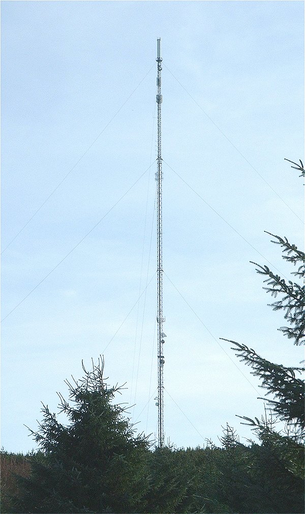
Durris transmitting station
The Durris transmitting station is a broadcasting and telecommunications facility, situated close to the town of Stonehaven, within Durris Forest, within...
Cryne Corse Mounth
Cryne Corse Mounth is an old droving road which ran south across the high ground from the Dee valley in Aberdeenshire, eastern Scotland. Much of the route...
Nearby Amenities
Located within 500m of 56.987728,-2.4249487Have you been to Coldwell Hill?
Leave your review of Coldwell Hill below (or comments, questions and feedback).