Black Hill
Hill, Mountain in Kincardineshire
Scotland
Black Hill

Black Hill is a prominent hill located in the county of Kincardineshire, Scotland. It is part of the Grampian Mountains range and stands at an elevation of approximately 1,284 feet (391 meters). Situated near the village of Fettercairn, this hill is a popular destination for hikers and nature enthusiasts due to its stunning views and diverse flora and fauna.
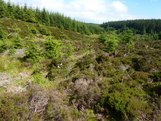
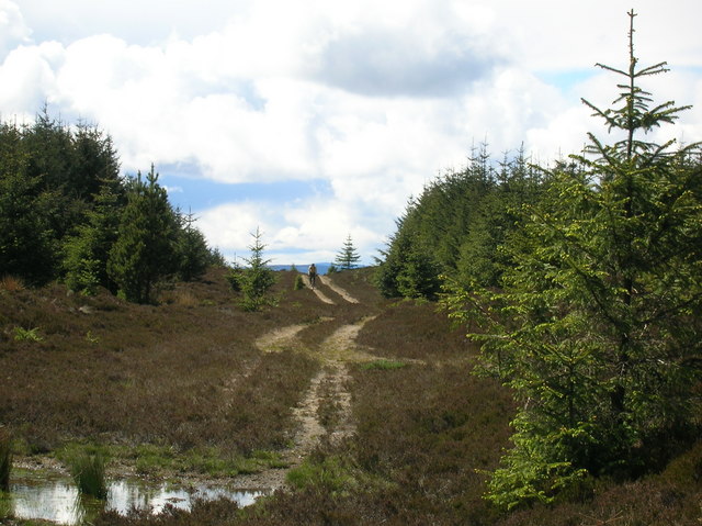
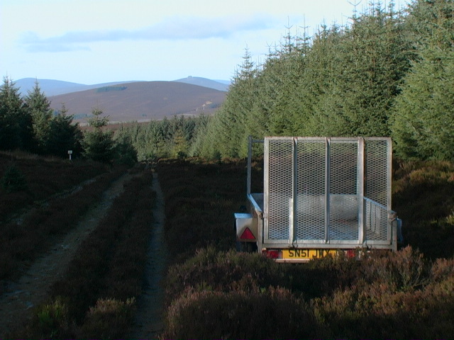
The ascent of Black Hill is relatively moderate, making it accessible to a wide range of fitness levels. The hill is covered in heather and grass, creating a picturesque landscape that changes with the seasons. As visitors climb higher, they are rewarded with breathtaking panoramas of the surrounding countryside, including the rolling hills, glens, and nearby peaks.
Black Hill is also known for its historical significance. At the summit, there are remnants of an Iron Age fort, which adds an archaeological element to the experience. The fort is believed to have been built around 2,500 years ago and offers insights into the ancient inhabitants of the area.
Additionally, the hill provides a habitat for various wildlife species. It is home to a diverse range of birds, including grouse, pheasants, and birds of prey such as buzzards and kestrels. Visitors may also spot deer, rabbits, and other small mammals while exploring the hill.
Overall, Black Hill in Kincardineshire offers a captivating blend of natural beauty, historical significance, and abundant wildlife, making it an attractive destination for outdoor enthusiasts and those seeking a peaceful escape in the Scottish countryside.
If you have any feedback on the listing, please let us know in the comments section below.
Black Hill Images
Images are sourced within 2km of 56.974435/-2.4348645 or Grid Reference NO7387. Thanks to Geograph Open Source API. All images are credited.


Black Hill is located at Grid Ref: NO7387 (Lat: 56.974435, Lng: -2.4348645)
Unitary Authority: Aberdeenshire
Police Authority: North East
What 3 Words
///renew.doubts.radiating. Near Banchory, Aberdeenshire
Nearby Locations
Related Wikis

Craiginour
Craiginour is a hill located near Cowie Water in Stonehaven, Aberdeenshire, Scotland. Its summit is at 355 metres (1,165 ft). == References ==
Fetteresso Forest
The Fetteresso Forest is a woodland that is principally coniferous situated in the Mounth range of the Grampian Mountains in Aberdeenshire, Scotland. The...
Bogjurgan Hill
Bogjurgan Hill is an elevated landform at the southern verge of the Fetteresso Forest in Aberdeenshire, Scotland. Its top is at an elevation of 299 metres...
Cryne Corse Mounth
Cryne Corse Mounth is an old droving road which ran south across the high ground from the Dee valley in Aberdeenshire, eastern Scotland. Much of the route...
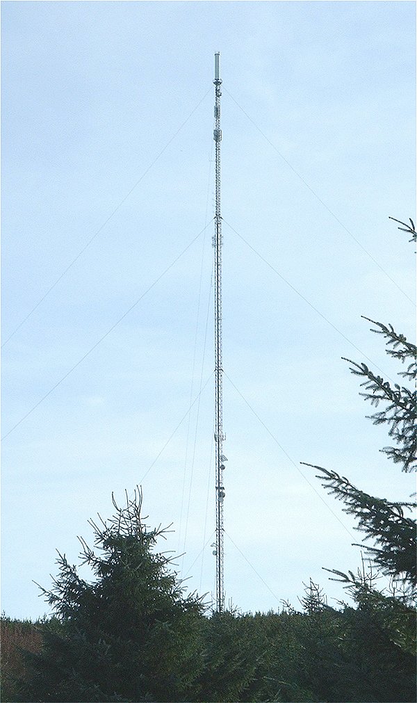
Durris transmitting station
The Durris transmitting station is a broadcasting and telecommunications facility, situated close to the town of Stonehaven, within Durris Forest, within...

Lochton
Lochton is a settlement on the Slug Road in Aberdeenshire, Scotland. Roman legions marched from Raedykes to Normandykes Roman Camp somewhat east of Lochton...

Droop Hill
Droop Hill is a mountain landform in the Kincardine and Mearns region of Aberdeenshire, Scotland. The locale had been featured in a windfarm proposal...
Mergie
Mergie is a settlement in Aberdeenshire approximately six miles west of Stonehaven, Scotland. Situated in the former Kincardineshire slightly south of...
Have you been to Black Hill?
Leave your review of Black Hill below (or comments, questions and feedback).