Coplow Hill

Hill, Mountain in Yorkshire Ribble Valley

England

Coplow Hill

Main entrance to Clitheroe Community Hospital On the A671.
Main entrance to Clitheroe Community Hospital Credit: philandju

Coplow Hill is a prominent hill located in the county of Yorkshire, England. Situated in the rural area of North Yorkshire, it is part of the stunning landscape of the Yorkshire Dales National Park. With an elevation of approximately 400 meters (1312 feet), Coplow Hill is not classified as a mountain but rather a hill.

The hill is characterized by its gentle slopes and lush greenery, providing breathtaking views of the surrounding countryside. It is covered in grass and bracken, with scattered trees adding to its natural beauty. The summit of Coplow Hill offers panoramic vistas of the rolling hills, valleys, and picturesque villages below.

Due to its location within the Yorkshire Dales National Park, Coplow Hill is a popular destination for outdoor enthusiasts and nature lovers. It offers various trails and paths for hikers and walkers to explore the area's natural wonders. The hill is also home to an abundance of wildlife, including birds, rabbits, and sometimes even grazing sheep.

In addition to its natural attractions, Coplow Hill holds historical significance. It is believed to have been used as a vantage point during ancient times, providing strategic views of the surrounding areas. The hill's slopes are dotted with remnants of old settlements and burial mounds, offering glimpses into the region's past.

Overall, Coplow Hill in Yorkshire is a tranquil and scenic spot that showcases the stunning beauty of the Yorkshire Dales National Park. It combines natural splendor with a touch of history, making it a must-visit destination for those exploring the region.

If you have any feedback on the listing, please let us know in the comments section below.
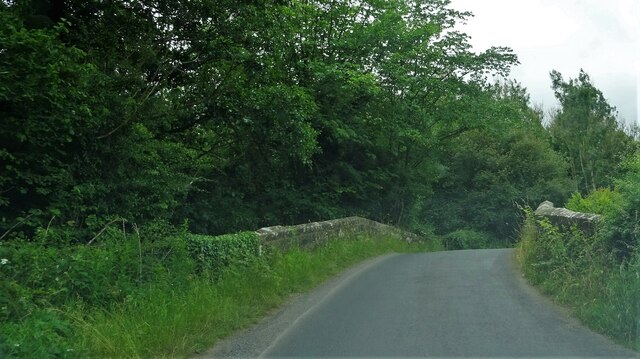
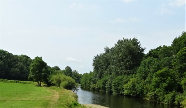
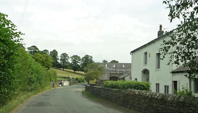
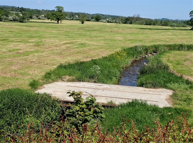
Coplow Hill Images

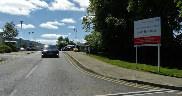
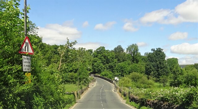
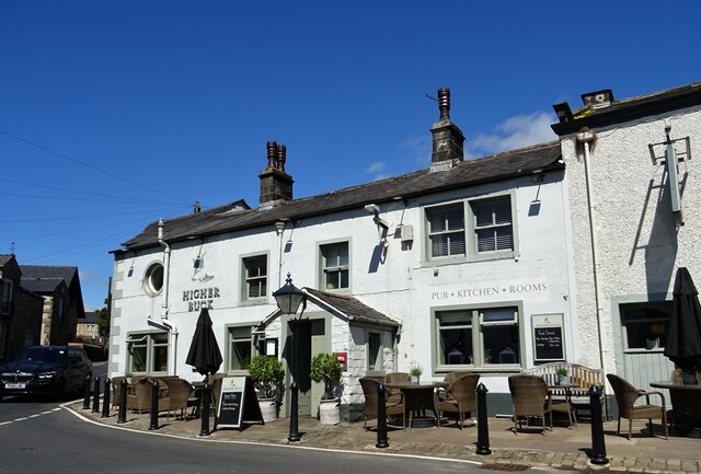
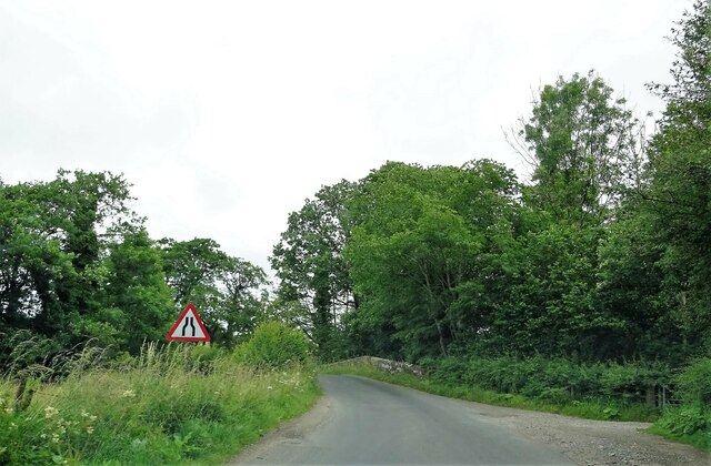
Images are sourced within 2km of 53.889155/-2.4031718 or Grid Reference SD7343. Thanks to Geograph Open Source API. All images are credited.

Main entrance to Clitheroe Community Hospital On the A671.
Main entrance to Clitheroe Community Hospital
On the A671.
Brungerley Bridge Carrying the B6478 over the River Ribble.
Brungerley Bridge
Carrying the B6478 over the River Ribble.
The Higher Buck A pub on The Square in Waddington.
The Higher Buck
A pub on The Square in Waddington.
Approaching Wetters Bridge A Grade II listed structure on Twitter Lane spanning Bashall Brook to the south west of Waddington.
Approaching Wetters Bridge
A Grade II listed structure on Twitter Lane spanning Bashall Brook to the south west of Waddington.
Wetters Bridge A grade II listed structure on Twitter Lane outside Waddington.
Wetters Bridge
A grade II listed structure on Twitter Lane outside Waddington.
River Ribble Looking south west from Brungerley Bridge.
River Ribble
Looking south west from Brungerley Bridge.
Grindleton Road At West Bradford.
Grindleton Road
At West Bradford.
Police station, King Street, Clitheroe A traditional town centre station with blue lamp, a rare sight these days as the trend is to larger operational bases outside town. There is a defibrillator on the outside wall.
Police station, King Street, Clitheroe
A traditional town centre station with blue lamp, a rare sight these days as the trend is to larger operational bases outside town. There is a defibrillator on the outside wall.
Police station, King Street, Clitheroe - detail The detail is of a stone plaque reading 'constabulary station'. See <a href="https://www.geograph.org.uk/photo/7272473">SD7441 : Police station, King Street, Clitheroe</a> for context.
Police station, King Street, Clitheroe - detail
The detail is of a stone plaque reading 'constabulary station'. See SD7441 : Police station, King Street, Clitheroe for context.
Clitheroe railway station : frontage This is the original station building, now converted to other uses including a visitor centre.
Clitheroe railway station : frontage
This is the original station building, now converted to other uses including a visitor centre.
Clitheroe railway station : former platform The original up platform adjacent to the former station building is no longer in use; trains currently use a new platform just to the north.
Clitheroe railway station : former platform
The original up platform adjacent to the former station building is no longer in use; trains currently use a new platform just to the north.
Clitheroe railway station : clock and lamp These 'heritage' features are at the entrance to the current station. I don't know whether they came from the original Clitheroe station.
Clitheroe railway station : clock and lamp
These 'heritage' features are at the entrance to the current station. I don't know whether they came from the original Clitheroe station.
Clitheroe railway station : Rochdale train Sprinter unit 150002 awaits departure to Rochdale via Blackburn and Manchester. If anyone actually wanted to travel from here to Rochdale, it may now be quicker to change at Blackburn for a service via Todmorden.
Clitheroe railway station : Rochdale train
Sprinter unit 150002 awaits departure to Rochdale via Blackburn and Manchester. If anyone actually wanted to travel from here to Rochdale, it may now be quicker to change at Blackburn for a service via Todmorden.
Millennium Sign Waddington Sign and seating area located on the approach to the village from Clitheroe on the B6478.
Millennium Sign Waddington
Sign and seating area located on the approach to the village from Clitheroe on the B6478.
Bridge over Waddington Brook A bridge used by the farmer to allow access in the field over Waddington Brook.
Bridge over Waddington Brook
A bridge used by the farmer to allow access in the field over Waddington Brook.
Twitter Bridge Farm Ford  This is a farm field access ford at Twitter Bridge Farm.
Twitter Bridge Farm Ford
This is a farm field access ford at Twitter Bridge Farm.
Clitheroe Cricket Club Clitheroe CC run 4 teams in the Ribblesdale League from their ground on Chatburn Road
Clitheroe Cricket Club
Clitheroe CC run 4 teams in the Ribblesdale League from their ground on Chatburn Road
Clitheroe Cricket Club - Pavilion The pavilion at Clitheroe CC's Chatburn Road ground
Clitheroe Cricket Club - Pavilion
The pavilion at Clitheroe CC's Chatburn Road ground
Show me another place!

Coplow Hill is located at Grid Ref: SD7343 (Lat: 53.889155, Lng: -2.4031718)

Division: West Riding

Administrative County: Lancashire

District: Ribble Valley

Police Authority: Lancashire

What 3 Words

///sake.megawatt.bulky. Near Waddington, Lancashire

Related Wikis

St Helen's Church, Waddington

St Helen's Church is in the village of Waddington, Lancashire, England. It is an active Anglican parish church in the deanery of Whalley, the archdeaconry...

Waddington, Lancashire

Waddington is a small village, 2 miles (3 km) north-west of Clitheroe in the Ribble Valley, Lancashire, England. The population of the civil parish at...

Waddow Hall

Waddow Hall is a 17th-century Grade II listed building within a 178-acre (72 ha) estate that serves as a conference and activity centre for Girlguiding...

Eaves Hall

Eaves Hall was built in 1864 for John Burton (1809–1879), first son of James Burton and a wealthy cotton mill-owner. Sold by the Burtons in 1938, having...

Nearby Amenities

Located within 500m of 53.889155,-2.4031718
Waddington
Place: village
Lat/Long: 53.8896047/-2.4103712
Barrier: stile
Foot: yes
Lat/Long: 53.889564/-2.3964384
Barrier: stile
Foot: yes
Lat/Long: 53.8871878/-2.3979821
Ford: yes
Lat/Long: 53.8896134/-2.403949
Barrier: stile
Foot: yes
Lat/Long: 53.8893012/-2.4038649
Barrier: kissing_gate
Lat/Long: 53.8918467/-2.4042945
Power: pole
Lat/Long: 53.8876447/-2.4028803
Power: pole
Ref: 1633
Lat/Long: 53.8879636/-2.4026376
Power: pole
Lat/Long: 53.8883227/-2.4023241
Power: pole
Lat/Long: 53.884948/-2.4055553
Power: pole
Lat/Long: 53.8850586/-2.4044207
Power: pole
Lat/Long: 53.885144/-2.4033827
Power: pole
Lat/Long: 53.8854491/-2.4021381
Power: pole
Lat/Long: 53.88577/-2.4008024
Power: pole
Lat/Long: 53.8860309/-2.3996732
Power: pole
Lat/Long: 53.8862648/-2.3987183
Power: pole
Lat/Long: 53.8865984/-2.3972726
The data included in this document is from www.openstreetmap.org. The data is made available under ODbL.

Have you been to Coplow Hill?

Leave your review of Coplow Hill below (or comments, questions and feedback).