Black Hill
Hill, Mountain in Northumberland
England
Black Hill
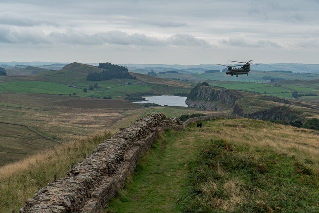
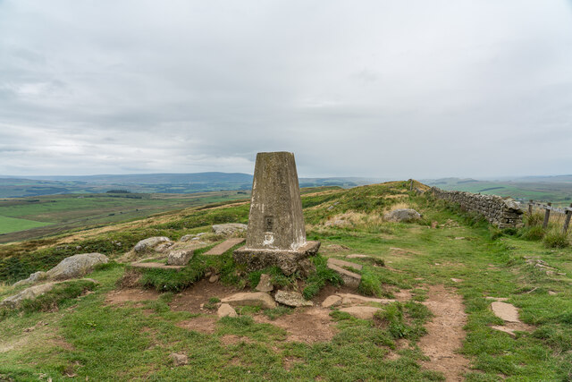
Black Hill is a prominent hill located in the county of Northumberland, England. With an elevation of 582 meters (1,909 feet), it is classified as a "Marilyn" – a hill with a prominence of at least 150 meters (492 feet). Situated in the North Pennines Area of Outstanding Natural Beauty, Black Hill offers breathtaking panoramic views of the surrounding countryside.
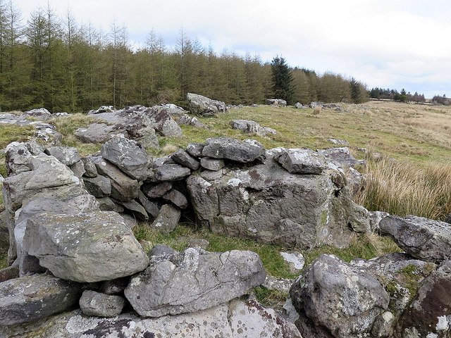
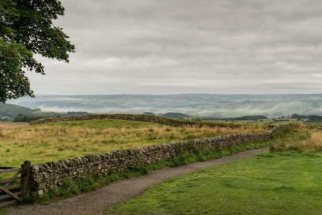
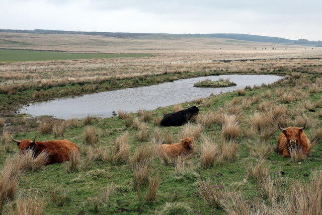
The hill is characterized by its distinctive dark-colored heather, giving it the name "Black Hill." It is primarily composed of carboniferous limestone, which adds to its unique appearance. The landscape is further defined by deep valleys, crags, and rocky outcrops, creating a dramatic and rugged terrain.
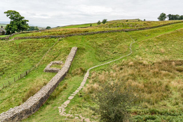
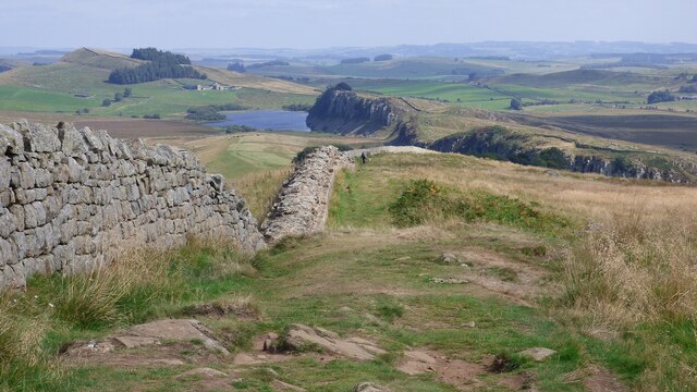
Black Hill is a popular destination for hikers and outdoor enthusiasts due to its accessibility and stunning scenery. There are several well-marked walking trails that lead to the summit, providing various options for different abilities. The Pennine Way, a long-distance footpath, passes close to the hill, making it a favorite stop for walkers undertaking this renowned trail.
Wildlife thrives in the area surrounding Black Hill, with many rare and protected species finding a habitat here. Birdwatchers often visit to catch glimpses of red grouse, golden plovers, and curlews, among others.
While Black Hill may not be the highest peak in Northumberland, its striking appearance and captivating vistas make it a must-visit for nature lovers and those seeking outdoor adventures. Its rich geological features and diverse wildlife contribute to its allure, ensuring that it remains a beloved natural landmark in the region.
If you have any feedback on the listing, please let us know in the comments section below.
Black Hill Images
Images are sourced within 2km of 55.007837/-2.4161819 or Grid Reference NY7368. Thanks to Geograph Open Source API. All images are credited.


Black Hill is located at Grid Ref: NY7368 (Lat: 55.007837, Lng: -2.4161819)
Unitary Authority: Northumberland
Police Authority: Northumbria
What 3 Words
///tall.pictures.rejoiced. Near Haltwhistle, Northumberland
Nearby Locations
Related Wikis

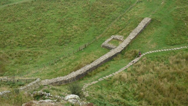
Milecastle 41
Milecastle 41 (Melkridge) was a milecastle on Hadrian's Wall (grid reference NY73026705). == Description == Milecastle 41 is located to the east of Caw...

Milecastle 40
Milecastle 40 (Winshields) was a milecastle on Hadrian's Wall (grid reference NY74566758). == Description == Milecastle 40 is located northwest of Twice...

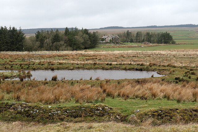
Once Brewed
Once Brewed (also known as Twice Brewed or Once Brewed/Twice Brewed) is a village in Northumberland, England. It lies on the Military Road (Northumberland...

Milecastle 42
Milecastle 42 (Cawfields) is a milecastle on Hadrian's Wall (grid reference NY7157466692). == Description == Milecastle 42 is on a steep south-facing slope...
Nearby Amenities
Located within 500m of 55.007837,-2.4161819Have you been to Black Hill?
Leave your review of Black Hill below (or comments, questions and feedback).