Brown Hill
Hill, Mountain in Aberdeenshire
Scotland
Brown Hill
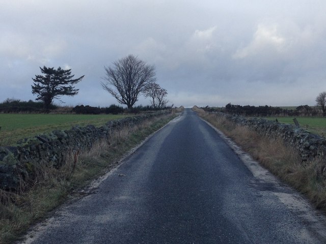
Brown Hill is a prominent hill located in Aberdeenshire, Scotland. It is part of the Grampian Mountains, which extend across the region. Standing at an elevation of approximately 1,200 feet (366 meters), Brown Hill offers breathtaking panoramic views of the surrounding countryside.
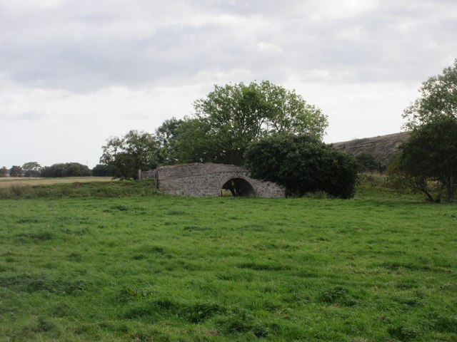
The hill is characterized by its gentle slopes and lush green vegetation, which make it a popular destination for outdoor enthusiasts and nature lovers. It is predominantly covered in heather and grass, providing a beautiful contrast of colors throughout the year. The hill's terrain is relatively easy to traverse, making it accessible to hikers of various skill levels.
At the summit of Brown Hill, visitors are rewarded with breathtaking vistas of the Aberdeenshire countryside, including the rolling hills, shimmering lochs, and distant peaks of the Grampian Mountains. On clear days, it is even possible to catch a glimpse of the North Sea in the distance.
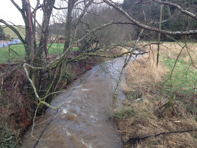
The area surrounding Brown Hill is also rich in wildlife, with various species of birds, including red grouse, dotting the landscape. Hikers may also encounter deer and other small mammals as they explore the hillside.
Brown Hill is easily accessible by car, with a parking area located at the base of the hill. There are several well-marked trails that lead to the summit, allowing visitors to choose the route that best suits their preferences and fitness levels.
Overall, Brown Hill offers a picturesque and rewarding hiking experience, combining stunning views, diverse wildlife, and a relatively gentle ascent, making it a must-visit destination for nature enthusiasts in Aberdeenshire.
If you have any feedback on the listing, please let us know in the comments section below.
Brown Hill Images
Images are sourced within 2km of 57.432675/-2.4458677 or Grid Reference NJ7338. Thanks to Geograph Open Source API. All images are credited.


Brown Hill is located at Grid Ref: NJ7338 (Lat: 57.432675, Lng: -2.4458677)
Unitary Authority: Aberdeenshire
Police Authority: North East
What 3 Words
///waged.colder.tribune. Near Rothienorman, Aberdeenshire
Nearby Locations
Related Wikis

Rothienorman
Rothienorman is a village in Aberdeenshire in north east Scotland. The local economy is based primarily on farming, whilst services are provided by a mobile...

Fyvie railway station
Fyvie railway station was a railway station near Fyvie, Aberdeenshire. It served the rural area and Fyvie Castle, but lay about 1 mile (1.6 km) from the...

Rothienorman railway station
Rothienorman railway station, Rothie or Rothie Norman was a railway station in Rothienorman, Aberdeenshire on the rural branchline to Macduff. It lay 7...
Rothie Rovers F.C.
Rothie Rovers are a Scottish football club from the village of Rothienorman in Aberdeenshire. They are members of the North Region of the Scottish Junior...

Fyvie Castle
Fyvie Castle is a castle in the village of Fyvie, near Turriff in Aberdeenshire, Scotland. == History == The earliest parts of Fyvie Castle date from the...
Fyvie
Fyvie is a village in the Formartine area of Aberdeenshire, Scotland. == Geography == Fyvie lies alongside the River Ythan and is on the A947 road. �...

Badenscoth
Badenscoth (Scottish Gaelic: Bad nan Sgoth) is a rural area near Auchterless in Aberdeenshire, Scotland. == References ==

Auchterless
Auchterless (Scottish Gaelic: Uachdar Leasa, meaning the "Upper Part of Less") is a village in Aberdeenshire, Scotland; grid reference NJ 713 416, postcode...
Nearby Amenities
Located within 500m of 57.432675,-2.4458677Have you been to Brown Hill?
Leave your review of Brown Hill below (or comments, questions and feedback).