Blindmills Hill

Hill, Mountain in Aberdeenshire

Scotland

Blindmills Hill

Wind turbine There are now (June 2018) over 800 wind turbines in Aberdeenshire and here is one of them in open countryside west of Fyvie.
Wind turbine Credit: Bill Harrison

Blindmills Hill is a prominent hill located in Aberdeenshire, Scotland. Standing at an elevation of approximately 596 meters (1,955 feet), it is classified as a hill rather than a mountain. Despite this classification, it offers stunning panoramic views of the surrounding countryside and is a popular destination for hikers and nature enthusiasts.

The hill is situated in close proximity to the village of Rhynie and is easily accessible from the nearby A97 road. Its distinct conical shape and lush greenery make it a distinctive landmark in the area. Blindmills Hill is part of the larger range known as the Bennachie Hills, which offers a variety of walking trails and recreational activities.

The ascent to the summit of Blindmills Hill is relatively moderate, making it accessible to hikers of various skill levels. On a clear day, the summit rewards visitors with breathtaking vistas over the Aberdeenshire countryside, including rolling hills, farmland, and distant mountain ranges. The hill is also home to a diverse range of flora and fauna, including heather, wildflowers, and various bird species.

Blindmills Hill holds historical significance as well, with traces of ancient settlements and archaeological remains found in the surrounding area. These include the remnants of prehistoric settlements and stone circles, adding an element of intrigue and fascination to the hill.

Overall, Blindmills Hill offers a picturesque and rewarding outdoor experience for those seeking natural beauty, recreational activities, and a glimpse into the region's rich history.

If you have any feedback on the listing, please let us know in the comments section below.

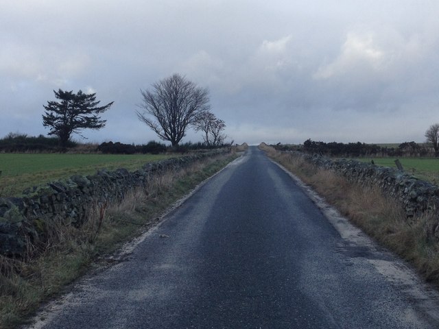
Blindmills Hill Images

Images are sourced within 2km of 57.445417/-2.4469391 or Grid Reference NJ7339. Thanks to Geograph Open Source API. All images are credited.

Wind turbine There are now (June 2018) over 800 wind turbines in Aberdeenshire and here is one of them in open countryside west of Fyvie.
Wind turbine
There are now (June 2018) over 800 wind turbines in Aberdeenshire and here is one of them in open countryside west of Fyvie.
Minor road near Rothiebrisbane
Minor road near Blackbog Croft
The view towards Upper Darley farm.... ...along a typical single-track road with characteristic wind turbines in the background.
The view towards Upper Darley farm....
...along a typical single-track road with characteristic wind turbines in the background.
Upper Darley farm... ...surrounded by typical rolling countryside in this part of Aberdeenshire.
Upper Darley farm...
...surrounded by typical rolling countryside in this part of Aberdeenshire.
Cockersmyres Croft Cockersmyres Croft overgrown with Ivy
Cockersmyres Croft
Cockersmyres Croft overgrown with Ivy
Cockhill Wood Aberdeenshire Looking deep inside Cockhill Wood
Cockhill Wood Aberdeenshire
Looking deep inside Cockhill Wood
Path Path from Burreldales
Path
Path from Burreldales
Old Stables Blindmills Small ruined stables at Blindmills
Old Stables Blindmills
Small ruined stables at Blindmills
View north west to Brownhill
In the Trees at Brown Hill
View south east near Gordonstown
View north west near Gordonstown
Crop spraying By Gordonstown
Crop spraying
By Gordonstown
Sunset near Gordonstown It looks as if a bomb has gone off over Gordonstown hill past the fields. The farm was behind me and I had to stop the car to take the picture.
Sunset near Gordonstown
It looks as if a bomb has gone off over Gordonstown hill past the fields. The farm was behind me and I had to stop the car to take the picture.
Gordonstown Hill Next year's brassica crop has already sprouted. The distinctive skyline of distant Bennachie is on the horizon.
Gordonstown Hill
Next year's brassica crop has already sprouted. The distinctive skyline of distant Bennachie is on the horizon.
Nether Darley Late sunshine casts dappled shade on the farm house at Nether Darley, viewed from the public road.
Nether Darley
Late sunshine casts dappled shade on the farm house at Nether Darley, viewed from the public road.
Upper Darley The barns are used for overwintering cattle, and judging by the amount of bellowing they were not happy at being brought in from the open fields. However they will soon settle down and get used to indoor life, even if they are unable to appreciate the benefits of shelter from the storms to come.
Upper Darley
The barns are used for overwintering cattle, and judging by the amount of bellowing they were not happy at being brought in from the open fields. However they will soon settle down and get used to indoor life, even if they are unable to appreciate the benefits of shelter from the storms to come.
Show me another place!

Blindmills Hill is located at Grid Ref: NJ7339 (Lat: 57.445417, Lng: -2.4469391)

Unitary Authority: Aberdeenshire

Police Authority: North East

What 3 Words

///soups.imitate.salsa. Near Rothienorman, Aberdeenshire

Nearby Locations

Blindmills Hill

Related Wikis

Fyvie railway station

Fyvie railway station was a railway station near Fyvie, Aberdeenshire. It served the rural area and Fyvie Castle, but lay about 1 mile (1.6 km) from the...

Auchterless

Auchterless (Scottish Gaelic: Uachdar Leasa, meaning the "Upper Part of Less") is a village in Aberdeenshire, Scotland; grid reference NJ 713 416, postcode...

Banff and Buchan (UK Parliament constituency)

Banff and Buchan is a constituency of the House of Commons, located in the north-east of Scotland within the Aberdeenshire council area. It elects one...

Fyvie Castle

Fyvie Castle is a castle in the village of Fyvie, near Turriff in Aberdeenshire, Scotland. == History == The earliest parts of Fyvie Castle date from the...

Nearby Amenities

Located within 500m of 57.445417,-2.4469391
Design: barrel
Power: tower
Lat/Long: 57.443216/-2.4418873
Design: barrel
Power: tower
Lat/Long: 57.4453491/-2.4387045
Power: pole
Lat/Long: 57.4466498/-2.439831
Power: pole
Lat/Long: 57.4467109/-2.4412159
Power: pole
Lat/Long: 57.4467756/-2.4426947
Power: pole
Lat/Long: 57.4468532/-2.4442499
Power: pole
Lat/Long: 57.4469166/-2.44546
Power: pole
Lat/Long: 57.4469789/-2.4466505
Power: pole
Lat/Long: 57.4470365/-2.447782
Power: pole
Lat/Long: 57.4471047/-2.4490118
Power: pole
Lat/Long: 57.4471729/-2.4503158
Power: pole
Lat/Long: 57.447234/-2.4514342
Power: pole
Lat/Long: 57.4472904/-2.4524609
Power: pole
Lat/Long: 57.4473445/-2.4535006
Power: pole
Lat/Long: 57.447737/-2.4472599
Power: pole
Lat/Long: 57.4484152/-2.446751
Power: pole
Lat/Long: 57.4491086/-2.4462355
The data included in this document is from www.openstreetmap.org. The data is made available under ODbL.

Have you been to Blindmills Hill?

Leave your review of Blindmills Hill below (or comments, questions and feedback).