Hunt Hill
Hill, Mountain in Gloucestershire Forest of Dean
England
Hunt Hill
Hunt Hill is a prominent natural feature located in the county of Gloucestershire, England. Situated near the town of Huntley, the hill stands at an elevation of approximately 281 meters (922 feet) above sea level. It is part of the Cotswold Hills, a range of rolling hills renowned for their scenic beauty and picturesque landscapes.
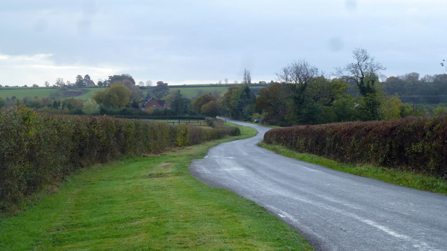
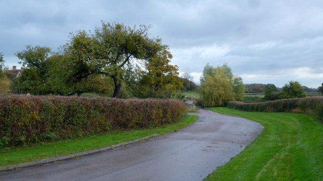
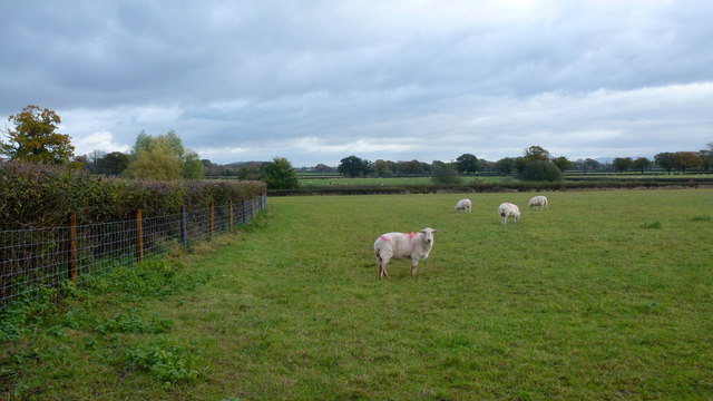
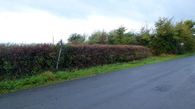
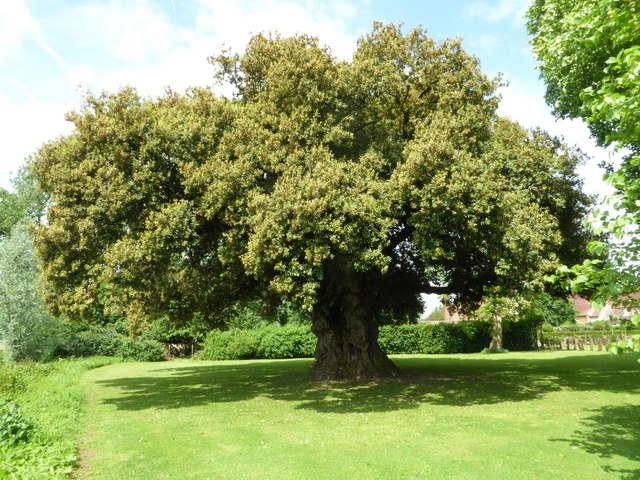
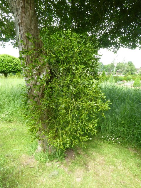
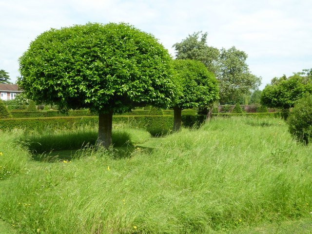
Covered in lush greenery, Hunt Hill offers breathtaking panoramic views of the surrounding countryside. The hill is predominantly composed of limestone, which contributes to its distinctive appearance and supports diverse flora and fauna. It is home to various species of plants, including wildflowers, grasses, and shrubs, making it an ideal habitat for wildlife.
Hunt Hill is a popular destination for outdoor enthusiasts and nature lovers. It provides ample opportunities for recreational activities such as hiking, walking, and birdwatching. Numerous trails and footpaths crisscross the hill, allowing visitors to explore its natural wonders at their own pace.
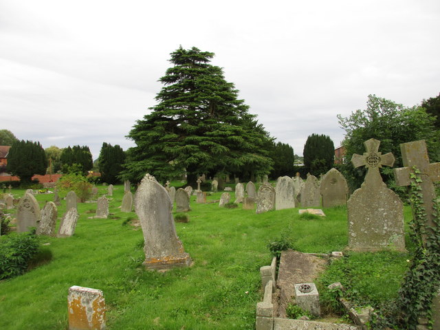
The hill's location also holds historical significance. It is believed to have been used as a lookout point during ancient times, providing strategic advantages to those who sought to defend or survey the area. Today, remnants of this historical importance can still be seen in the form of ancient earthworks and archaeological features.
Furthermore, Hunt Hill is accessible to the public, with parking facilities and nearby amenities available for visitors. Its proximity to other attractions and towns in Gloucestershire makes it an easily accessible and rewarding destination for both locals and tourists seeking a peaceful retreat in the heart of nature.
If you have any feedback on the listing, please let us know in the comments section below.
Hunt Hill Images
Images are sourced within 2km of 51.828555/-2.393775 or Grid Reference SO7214. Thanks to Geograph Open Source API. All images are credited.
Hunt Hill is located at Grid Ref: SO7214 (Lat: 51.828555, Lng: -2.393775)
Administrative County: Gloucestershire
District: Forest of Dean
Police Authority: Gloucestershire
What 3 Words
///sonic.cashew.skinny. Near Huntley, Gloucestershire
Nearby Locations
Related Wikis

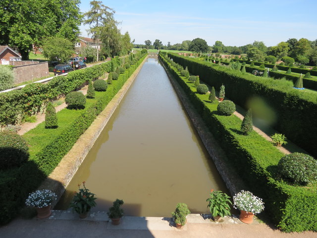
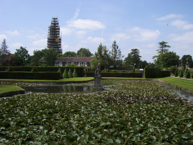
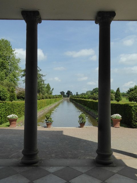
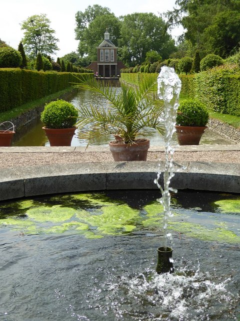
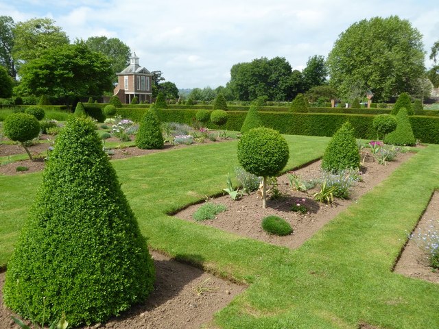
Westbury Court Garden
Westbury Court Garden is a Dutch water garden in Westbury-on-Severn, Gloucestershire, England, 9 miles (14 km) southwest of Gloucester. It is a rare survival...

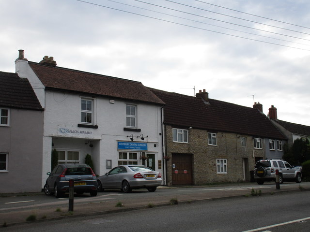
Westbury-on-Severn
Westbury-on-Severn is a rural village in England that is the centre of the large, rural parish, also called Westbury-on-Severn. == Location == The village...

Grange Court railway station
Grange Court railway station was a junction station on the South Wales Railway in Gloucestershire (on the present day Gloucester to Newport Line) where...

Walmore Common
Walmore Common (grid reference SO740162 & grid reference SO745150) is a 57.78-hectare (142.8-acre) nature reserve on the flood-plain of the River Severn...

Westbury-on-Severn Halt railway station
Westbury-on-Severn Halt railway station served the village of Westbury-on-Severn, Gloucestershire, England, from 1928 to 1959 on the South Wales Railway...

Garden Cliff
Garden Cliff (grid reference SO718128) is a 5.1-hectare (13-acre) geological Site of Special Scientific Interest in Gloucestershire, notified in 1954....

Blaisdon Halt railway station
Blaisdon railway station is a disused stone built railway station that served the village of Blaisdon in Gloucestershire and was the first stop on the...
Westbury Shales
The Westbury Shales is a geologic formation in England. It preserves fossils of Holcoptera schlotheimi, Saurichthys acuminatus, Coleopteron sp. and Liassophlebia...
Nearby Amenities
Located within 500m of 51.828555,-2.393775Have you been to Hunt Hill?
Leave your review of Hunt Hill below (or comments, questions and feedback).