Baugh Fell

Hill, Mountain in Yorkshire South Lakeland

England

Baugh Fell

The summit of Knoutberry Haw Fine views towards the Howgills.
The summit of Knoutberry Haw Credit: steven ruffles

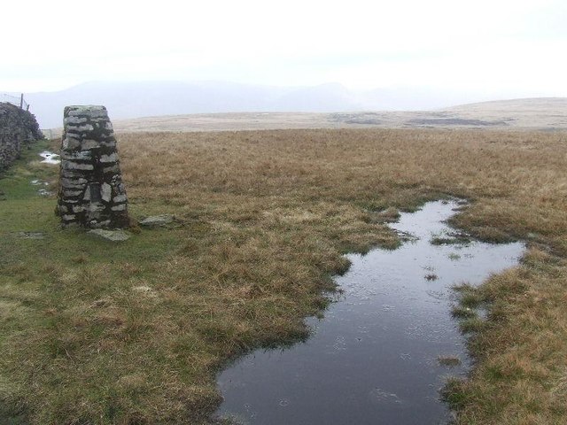
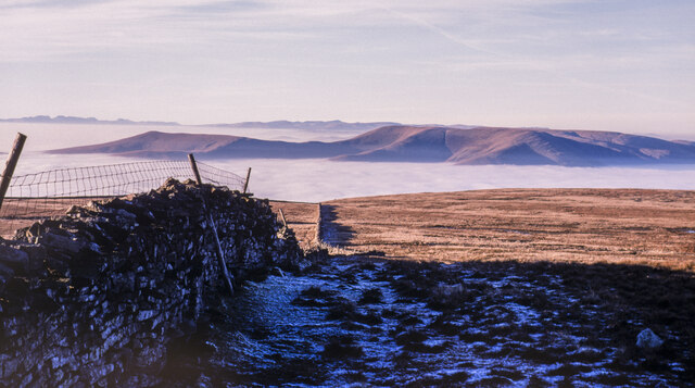
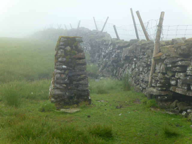
Baugh Fell, located in the Yorkshire Dales in North Yorkshire, England, is a prominent hill/mountain known for its stunning natural beauty and tranquility. Standing at an elevation of 678 meters (2,224 feet), it offers breathtaking panoramic views of the surrounding countryside, making it a popular destination for hikers, nature enthusiasts, and photographers.

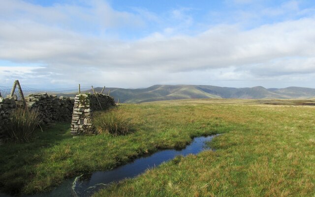
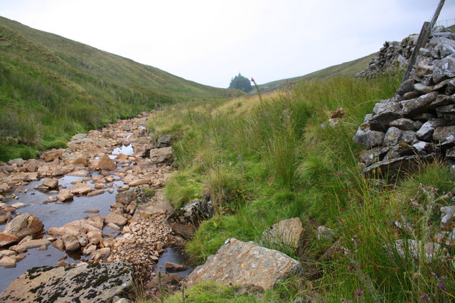
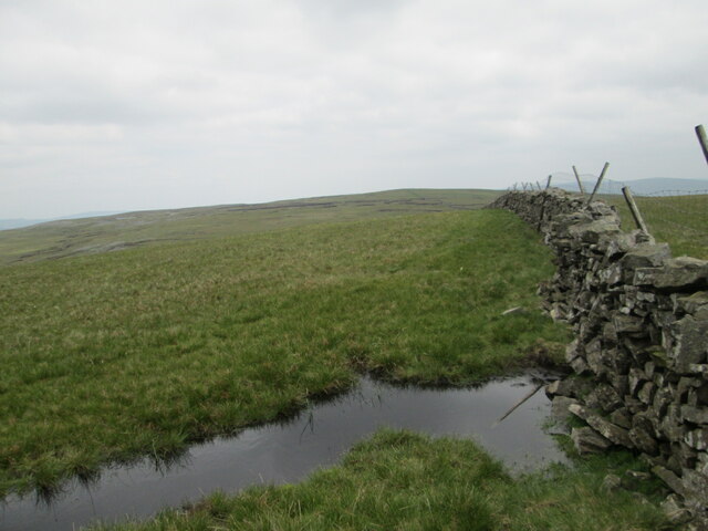
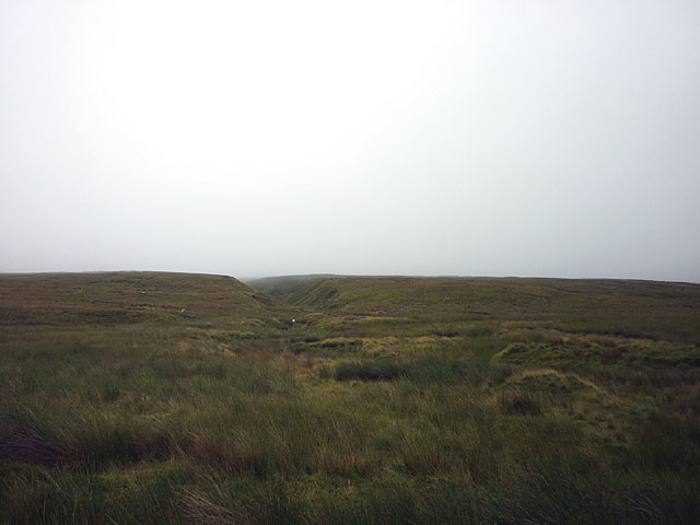
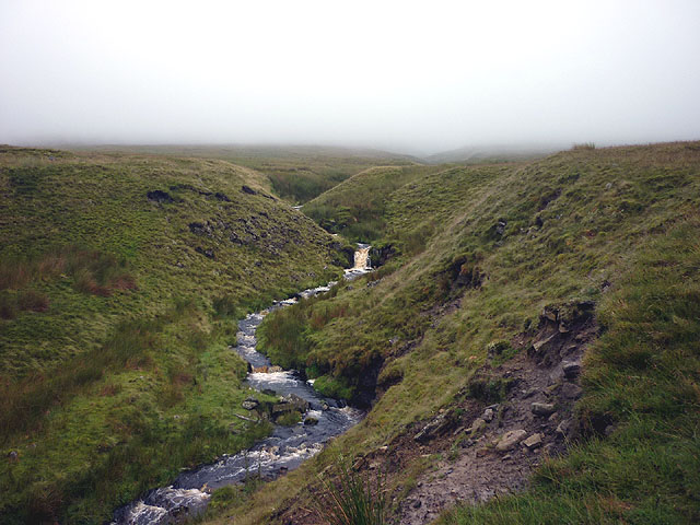
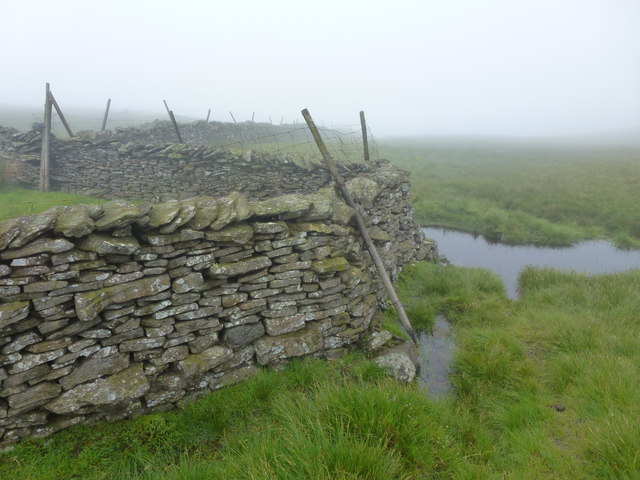
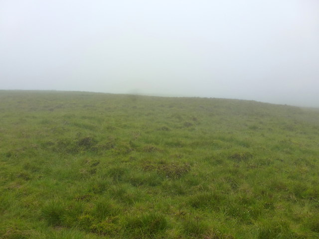
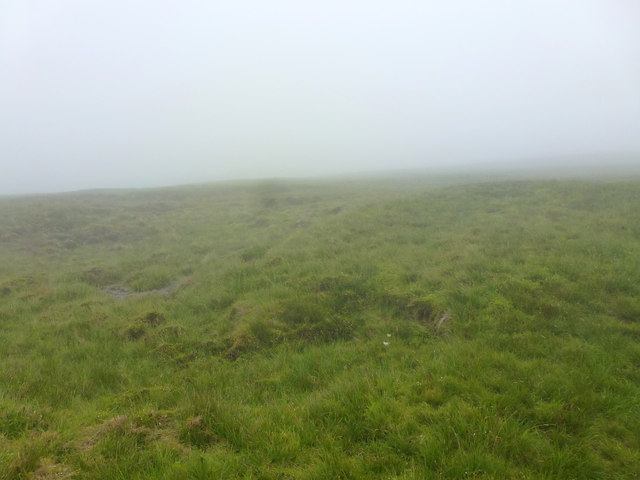
The hill is characterized by its large, open moorland, scattered with heather and grasses, giving it a distinct and picturesque appearance. Baugh Fell is part of the larger range known as the Pennines, which stretches across Northern England. It is situated between the valleys of the River Rawthey to the west and the River Ure to the east.

The hill is accessible from the nearby village of Ravenstonedale, and there are several walking routes that lead visitors to the summit. The most popular route follows the path along the Rawthey Valley before ascending the hill, providing hikers with a gradual and scenic ascent.

Baugh Fell is also home to diverse wildlife, including rare bird species such as golden plovers and curlews, as well as various plant species that thrive in the moorland environment. The hill's remote location and lack of commercial development contribute to its unspoiled and tranquil atmosphere, making it a perfect spot for those seeking a peaceful escape into nature.

Overall, Baugh Fell offers a unique and picturesque experience, combining stunning views, diverse flora and fauna, and a sense of tranquility that makes it a must-visit destination for nature lovers and outdoor enthusiasts.

If you have any feedback on the listing, please let us know in the comments section below.

Baugh Fell Images

Images are sourced within 2km of 54.336997/-2.4187402 or Grid Reference SD7293. Thanks to Geograph Open Source API. All images are credited.

The summit of Knoutberry Haw Fine views towards the Howgills.
The summit of Knoutberry Haw
Fine views towards the Howgills.
Trig pillar on Knoutberry Haw
River Rawthey at Holmes Moss
Knoutberry Haw Looking east towards Tarn Rigg Hill, look out for the bad peat bog ahead.
Knoutberry Haw
Looking east towards Tarn Rigg Hill, look out for the bad peat bog ahead.
Dry stone wall from summit at Knoutberry Haw Knoutberry Haw is the lower of the two summits of the bulky hill, Baugh Fell, the image was recorded from beside its trig point.
The distant view is towards the Howgill Fells and beyond them to the horizon occupied by mountains of the Lake District.
There was a splendid temperature inversion at the time the image was recorded in December 1989.
Dry stone wall from summit at Knoutberry Haw
Knoutberry Haw is the lower of the two summits of the bulky hill, Baugh Fell, the image was recorded from beside its trig point. The distant view is towards the Howgill Fells and beyond them to the horizon occupied by mountains of the Lake District. There was a splendid temperature inversion at the time the image was recorded in December 1989.
Tarn of the East Tarns group on Baugh Fell The frozen tarn is unnamed individually. It lies to the north of Tarn Rigg Hill which is the higher of the two tops of Baugh Fell. This tarn is the most westerly of the group.
The Howgill Fells can just be seen above the far shore and much more distantly, Lake District mountains can be discerned too.
Tarn of the East Tarns group on Baugh Fell
The frozen tarn is unnamed individually. It lies to the north of Tarn Rigg Hill which is the higher of the two tops of Baugh Fell. This tarn is the most westerly of the group. The Howgill Fells can just be seen above the far shore and much more distantly, Lake District mountains can be discerned too.
Far Askew Gill The stream emerges from a steep-sided gully on the vast flank of West Baugh Fell. I am standing in the swamp of Caphill Moss and my feet are soaked.
Far Askew Gill
The stream emerges from a steep-sided gully on the vast flank of West Baugh Fell. I am standing in the swamp of Caphill Moss and my feet are soaked.
Nor Gill So far, a nondescript moorland watercourse draining the vast flank of West Baugh Fell. Just downstream it leaps over a considerable waterfall.
Nor Gill
So far, a nondescript moorland watercourse draining the vast flank of West Baugh Fell. Just downstream it leaps over a considerable waterfall.
Swere Gill Swere Gill drains water from the north side of East Baugh Fell; Wild Boar Fell and Swarth Fell are seen in the distance.
Swere Gill
Swere Gill drains water from the north side of East Baugh Fell; Wild Boar Fell and Swarth Fell are seen in the distance.
Climbing Baugh Fell Looking east up Baugh Fell.
Climbing Baugh Fell
Looking east up Baugh Fell.
Moorland wall corner
Moorland west of Knoutberry Haw
Knoutberry Haw trig point (2216' / 676m)
Moorland north of Knoutberry Haw
Boggy ground on West Baugh Fell Wild Boar Fell behind, lit by the evening sun
Boggy ground on West Baugh Fell
Wild Boar Fell behind, lit by the evening sun
Rawthey Gill A deep gorge in the north of the otherwise uniform Baugh Fell. A good way up.
Rawthey Gill
A deep gorge in the north of the otherwise uniform Baugh Fell. A good way up.
Twin Cairns on West Baugh Fell Probably the only features on this particular square.  It is on the northern flanks of West Baugh Fell looking down towards the upper dale of the River Rawthey (Uldale.) The two large fells in the background are Swarth Fell, and ultimately Wild Boar Fell.
Twin Cairns on West Baugh Fell
Probably the only features on this particular square. It is on the northern flanks of West Baugh Fell looking down towards the upper dale of the River Rawthey (Uldale.) The two large fells in the background are Swarth Fell, and ultimately Wild Boar Fell.
Sheep Fold on West Baugh Fell Near to Raven Thorn on the flanks of West Baugh Fell
Sheep Fold on West Baugh Fell
Near to Raven Thorn on the flanks of West Baugh Fell
Show me another place!

Baugh Fell is located at Grid Ref: SD7293 (Lat: 54.336997, Lng: -2.4187402)

Division: West Riding

Administrative County: Cumbria

District: South Lakeland

Police Authority: Cumbria

What 3 Words

///passages.delved.newlywed. Near Sedbergh, Cumbria

Nearby Locations

Baugh Fell

Related Wikis

Baugh Fell

Baugh Fell (, or locally ) is a large, flat-topped hill in the northern Pennines of England. It lies in the north-western corner of the Yorkshire Dales...

Swarth Fell

Swarth Fell is an approximately 1 mile (1.5 km) stretch of high ground (consisting mainly of limestone capped with millstone grit) situated to the south...

Garsdale

Garsdale is a dale or valley in the south east of Cumbria, England, historically a part of the West Riding of Yorkshire. It is now within the Westmorland...

Grisedale

Grisedale (sometimes Grisdale, or Grizedale [archaic]) is a south east facing Dale in Cumbria, England, 8 miles (13 km) east of Sedbergh, and 7 miles...

Nearby Amenities

Located within 500m of 54.336997,-2.4187402
Man Made: cairn
Lat/Long: 54.3330692/-2.421899
Man Made: cairn
Lat/Long: 54.3329948/-2.4217617
The data included in this document is from www.openstreetmap.org. The data is made available under ODbL.

Have you been to Baugh Fell?

Leave your review of Baugh Fell below (or comments, questions and feedback).