Philip Law

Hill, Mountain in Roxburghshire

Scotland

Philip Law

Fawhope Rig Five TUMP circuit from Upper Hindhope with Smudge. Fawhope Rig, Goshen Hill, Philip Law, Heugh Law and Loddan Hill.
Name: Fawhope Rig
Hill number: 13956
Height: 372m / 1220ft
Parent (Ma/M): 2302  The Cheviot
Section: 28B: The River Tweed to the English Border
County/UA: Scottish Borders (UA)
Class: Tump (300-399m)
Grid ref: NT 74409 09798
Summit feature: no feature: grass
Drop: 43m
Col: 329m  NT737094
Fawhope Rig Credit: Rude Health

Philip Law is a prominent hill located in Roxburghshire, a historic county in the Scottish Borders region of Scotland. Standing at an elevation of approximately 570 meters (1,870 feet), it is a notable landmark in the area. The hill is part of the Southern Uplands, a range of rolling hills and mountains that stretch across southern Scotland.

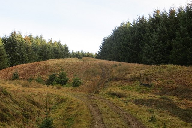
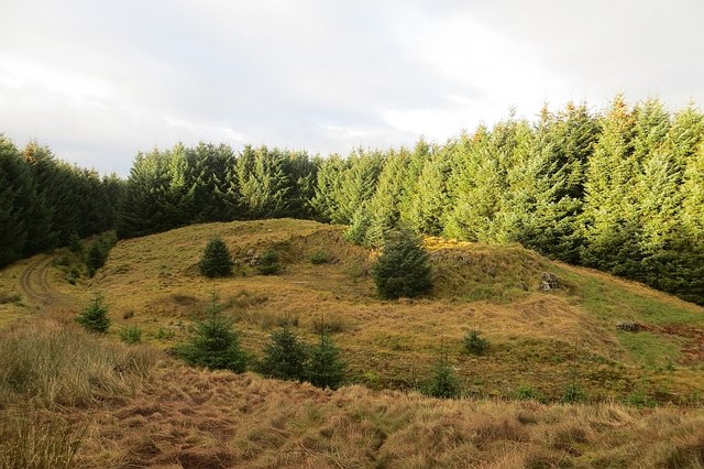
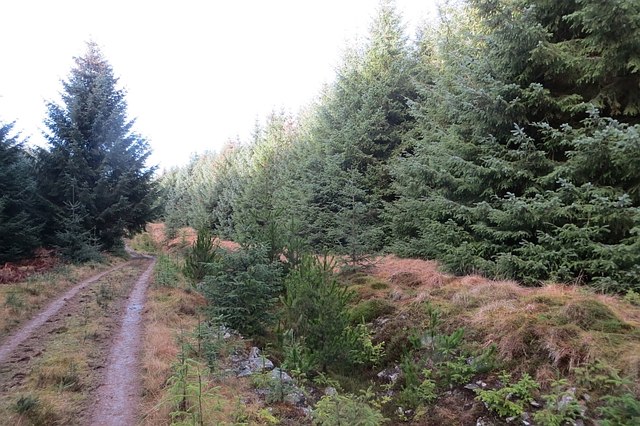
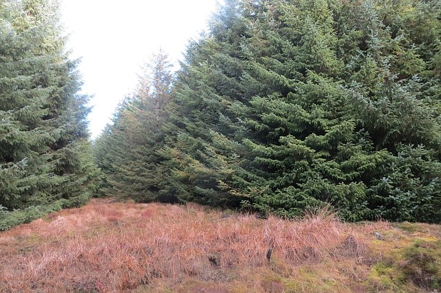
Philip Law offers breathtaking panoramic views of the surrounding countryside, making it a popular destination for hikers and nature enthusiasts. The hill is characterized by its gentle slopes, covered in lush greenery and heather. The ascent to the summit is relatively easy, making it accessible to walkers of varying levels of experience.

At the top of Philip Law, visitors can enjoy stunning vistas of the rolling hills and valleys of Roxburghshire. On clear days, it is possible to see as far as the Cheviot Hills to the south and the Lammermuir Hills to the north. The summit also provides a fantastic vantage point for admiring the nearby Eildon Hills, a collection of distinctive peaks that dominate the landscape.

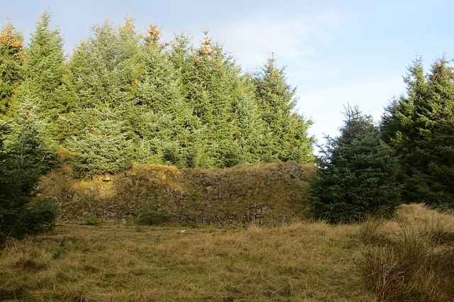
Philip Law is located in an area rich in history and natural beauty. The surrounding region offers a range of attractions, including ancient castles, picturesque villages, and scenic walking trails. Visitors to Philip Law can expect to experience the tranquility and beauty of the Scottish countryside while immersing themselves in the rich heritage of Roxburghshire.

If you have any feedback on the listing, please let us know in the comments section below.
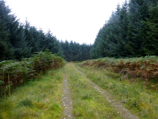
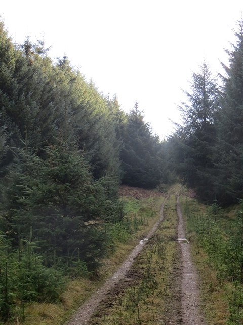
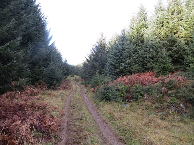
Philip Law Images

Images are sourced within 2km of 55.389541/-2.43196 or Grid Reference NT7210. Thanks to Geograph Open Source API. All images are credited.

Fawhope Rig Five TUMP circuit from Upper Hindhope with Smudge. Fawhope Rig, Goshen Hill, Philip Law, Heugh Law and Loddan Hill.
Name: Fawhope Rig
Hill number: 13956
Height: 372m / 1220ft
Parent (Ma/M): 2302  The Cheviot
Section: 28B: The River Tweed to the English Border
County/UA: Scottish Borders (UA)
Class: Tump (300-399m)
Grid ref: NT 74409 09798
Summit feature: no feature: grass
Drop: 43m
Col: 329m  NT737094
Fawhope Rig
Five TUMP circuit from Upper Hindhope with Smudge. Fawhope Rig, Goshen Hill, Philip Law, Heugh Law and Loddan Hill. Name: Fawhope Rig Hill number: 13956 Height: 372m / 1220ft Parent (Ma/M): 2302 The Cheviot Section: 28B: The River Tweed to the English Border County/UA: Scottish Borders (UA) Class: Tump (300-399m) Grid ref: NT 74409 09798 Summit feature: no feature: grass Drop: 43m Col: 329m NT737094
Approaching Ephope Law Approaching Ephope Law en route between Fawhope Rig and Philip Law.
Approaching Ephope Law
Approaching Ephope Law en route between Fawhope Rig and Philip Law.
Forestry Track Near Ettles Knowe Forestry track used en route between Fawhope Rig and Philip Law.
Forestry Track Near Ettles Knowe
Forestry track used en route between Fawhope Rig and Philip Law.
Path Through Forest Near Ephope Law Path through forest near Ephope Law used en route between Fawhope Rig and Philip Law.
Path Through Forest Near Ephope Law
Path through forest near Ephope Law used en route between Fawhope Rig and Philip Law.
Heugh Law from the air South Riccalton farm, with its distinctive tree-lined drive is prominent on the left. Leithope Forest is at the bottom.
Heugh Law from the air
South Riccalton farm, with its distinctive tree-lined drive is prominent on the left. Leithope Forest is at the bottom.
Road, Leithope Forest It is used enough to keep the self seeded Sitka at bay. The track is a dead end for vehicles, but you can get through to Fawhope by unpowered means. Hoof prints suggest that the route is open to horses.
Road, Leithope Forest
It is used enough to keep the self seeded Sitka at bay. The track is a dead end for vehicles, but you can get through to Fawhope by unpowered means. Hoof prints suggest that the route is open to horses.
Road, Leithope Forest It is possible to escape the forest at the eastern end of the road by a path over Ephope Law.
Road, Leithope Forest
It is possible to escape the forest at the eastern end of the road by a path over Ephope Law.
Path, Ephope Law A path up a wide ride continues to the forest edge from the road. The path on Ordnance Survey maps no longer exists, but there is still a way through to Fawhope via this ride and open land.
Path, Ephope Law
A path up a wide ride continues to the forest edge from the road. The path on Ordnance Survey maps no longer exists, but there is still a way through to Fawhope via this ride and open land.
Quarry, Ephope Law View from the path out of the forest down to a road stone quarry.
Quarry, Ephope Law
View from the path out of the forest down to a road stone quarry.
Ephope Law Near the summit. Now above the trees, there are big views from here. The path to Fawhope runs north of the summit, the mapped path no longer exists. You can still get through.
Ephope Law
Near the summit. Now above the trees, there are big views from here. The path to Fawhope runs north of the summit, the mapped path no longer exists. You can still get through.
Path, Ephope Law The path out of the forest runs to the north of the now overgrown mapped path.
Path, Ephope Law
The path out of the forest runs to the north of the now overgrown mapped path.
Ruined outbuildings, Fawhope One of many farms and dwellings lost to the big forests of the Border.
Ruined outbuildings, Fawhope
One of many farms and dwellings lost to the big forests of the Border.
Road, Fawhope
Road, Fawhope
Leithope Forest The fire tower on the maps has long gone.
Leithope Forest
The fire tower on the maps has long gone.
Logging road, Leithope Forest The road soon comes to an end around here, but a path leads on out of the forest.
Logging road, Leithope Forest
The road soon comes to an end around here, but a path leads on out of the forest.
Ride, Leithope Forest The remains of a fence from before the time the trees were planted can just be seen.
Ride, Leithope Forest
The remains of a fence from before the time the trees were planted can just be seen.
Quarry, Leithope Forest Andesite was quarried here for road building.
Quarry, Leithope Forest
Andesite was quarried here for road building.
Path, Ephope Law The quad track heads for a gate into open country (horse friendly at the time of visit) on Ephope Law. The mapped path has been eaten by the Sitka, this path is to the north. There are views!
Path, Ephope Law
The quad track heads for a gate into open country (horse friendly at the time of visit) on Ephope Law. The mapped path has been eaten by the Sitka, this path is to the north. There are views!
Show me another place!

Philip Law is located at Grid Ref: NT7210 (Lat: 55.389541, Lng: -2.43196)

Unitary Authority: The Scottish Borders

Police Authority: The Lothians and Scottish Borders

What 3 Words

///sofas.skirt.crisp. Near Jedburgh, Scottish Borders

Nearby Locations

Philip Law Goshen Hill

Related Wikis

Edgerston

Edgerston is a village and an estate about 4 miles (6.4 km) north of the Anglo-Scottish border, and 8 miles (13 km) south of Jedburgh in the Scottish Borders...

Pennymuir Roman camps

The Pennymuir Roman camps are situated southeast of Jedburgh in the Scottish Borders area of Scotland, near the Anglo-Scottish border, in the former Roxburghshire...

Raid of the Redeswire

The Raid of the Redeswire, also known as the Redeswire Fray, was a border skirmish between England and Scotland on 7 July 1575 which took place at Carter...

Carter Bar

Carter Bar is a pass in the Cheviot Hills, on the Anglo-Scottish border. It lies east of Carter Fell at the head of Redesdale, and is crossed by the A68...

Nearby Amenities

Located within 500m of 55.389541,-2.43196
Philip Law
Natural: peak
Lat/Long: 55.3895809/-2.4319493
The data included in this document is from www.openstreetmap.org. The data is made available under ODbL.

Have you been to Philip Law?

Leave your review of Philip Law below (or comments, questions and feedback).